May 8
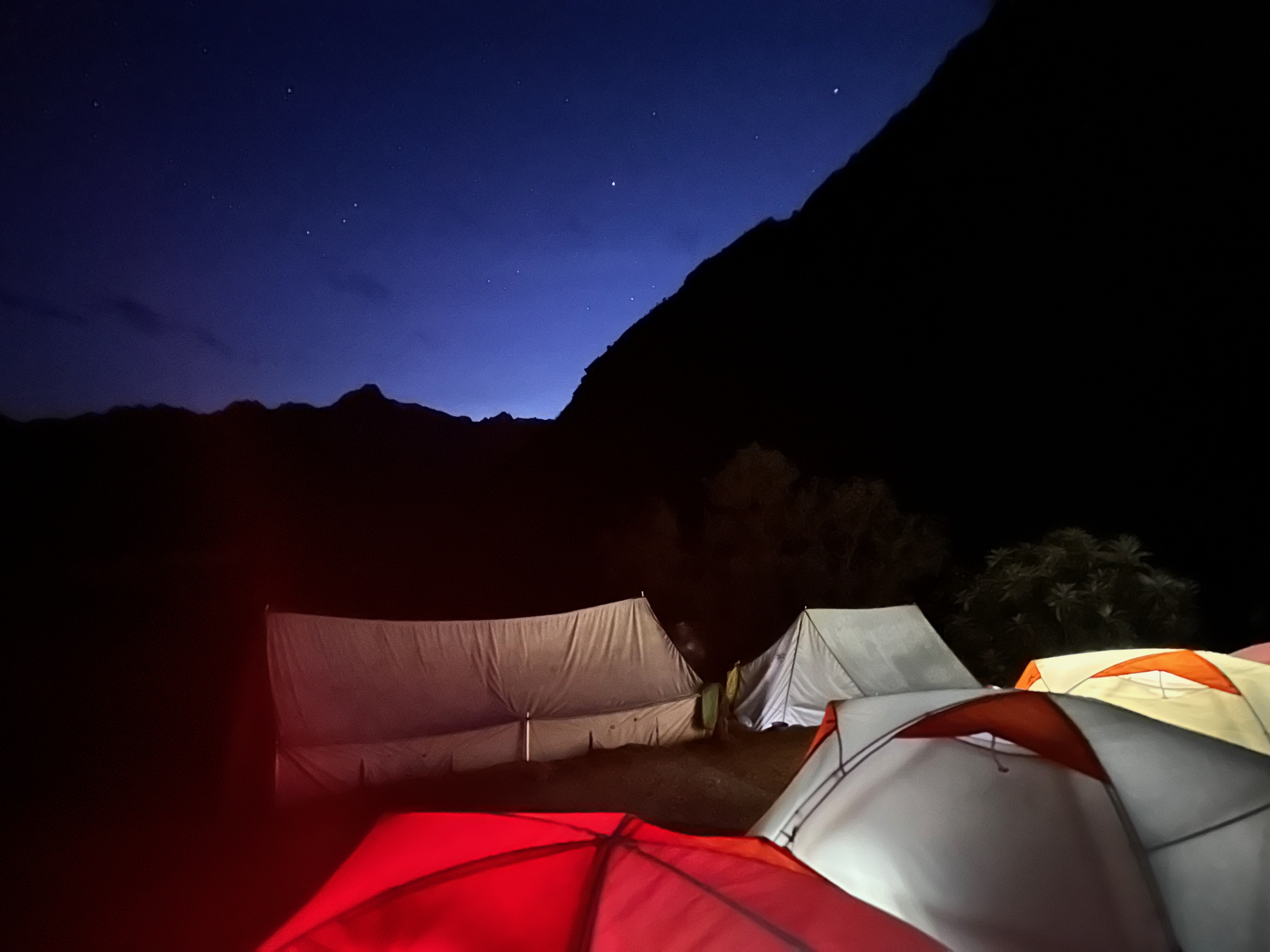
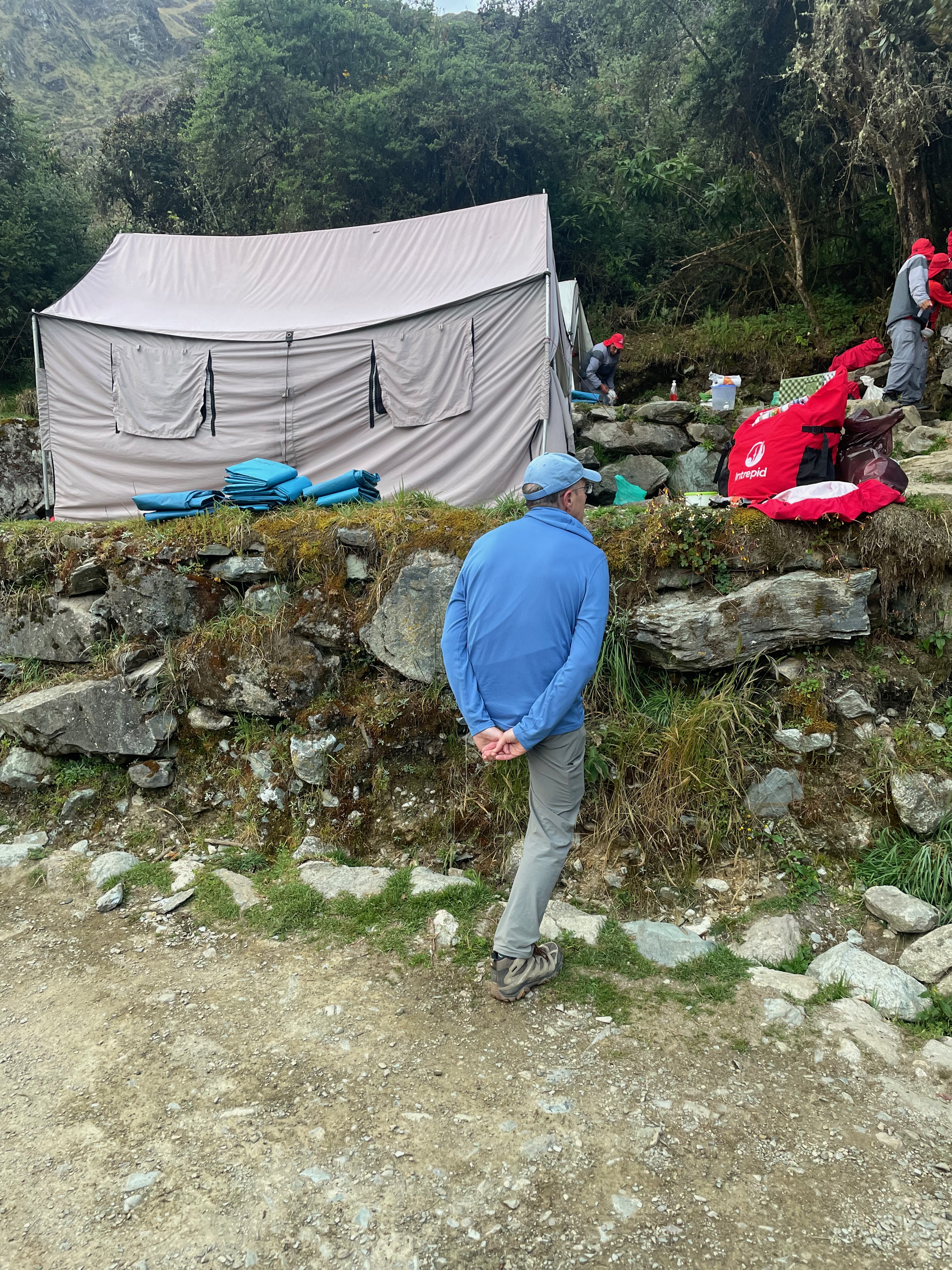
Once again it was up before dawn, once again aided by strong black coffee at our tent.
Today it was over two more mountain passes, such that we would be looking down on Mt Machu Picchu before descending to below it for our final camp.
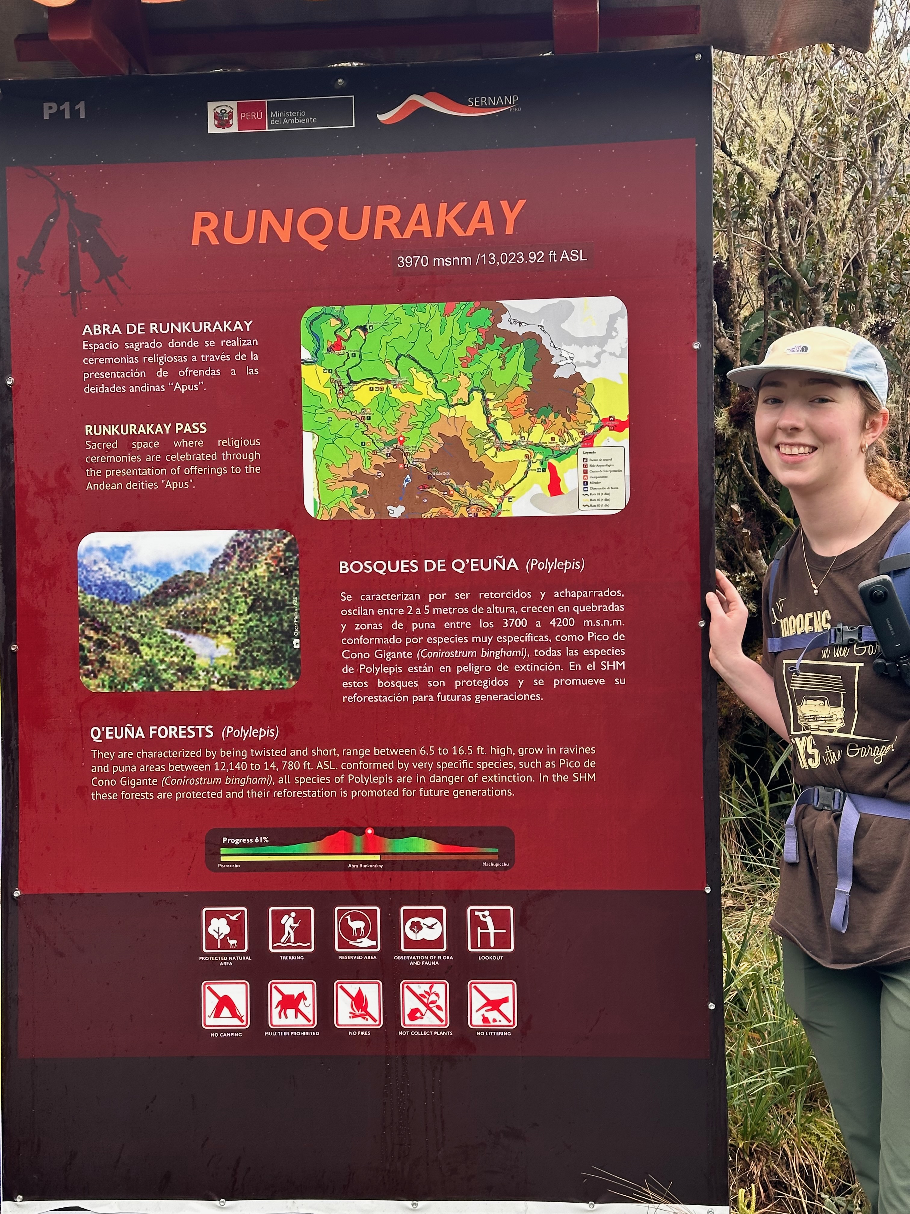
First stop was at Runqurakay. This was an exchange point for the Inca messengers that would run (barefoot of course!) along the trail carrying the messages encoded in the Khipu knot system. A system that is yet to be deciphered. It is said even the messengers were not of high enough station to be able to read them.
Sentries at Runqurakay had a strategic view of both passes and so could rouse the next messenger to be ready to receive the Khipu as it was passed through the communication hole.
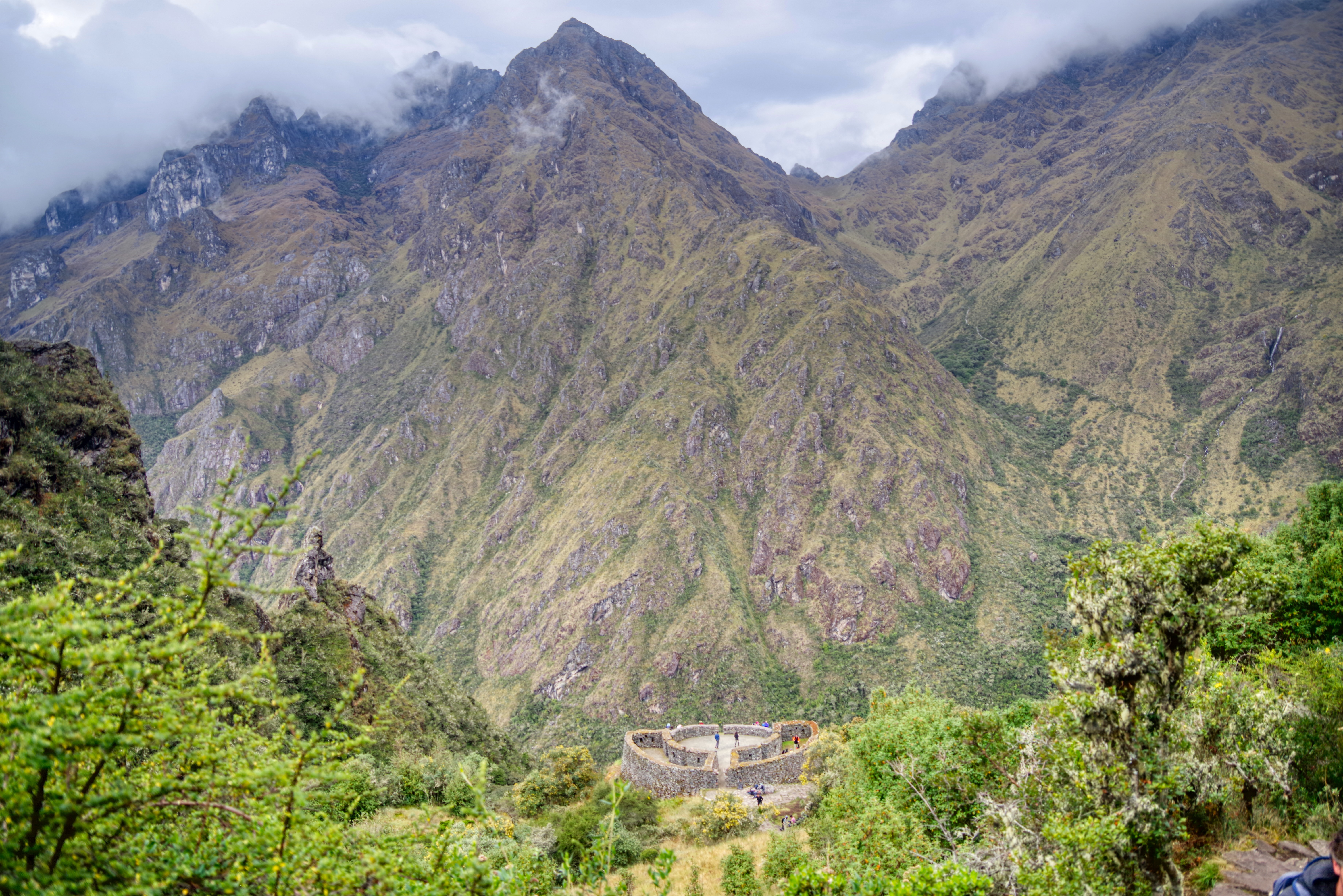
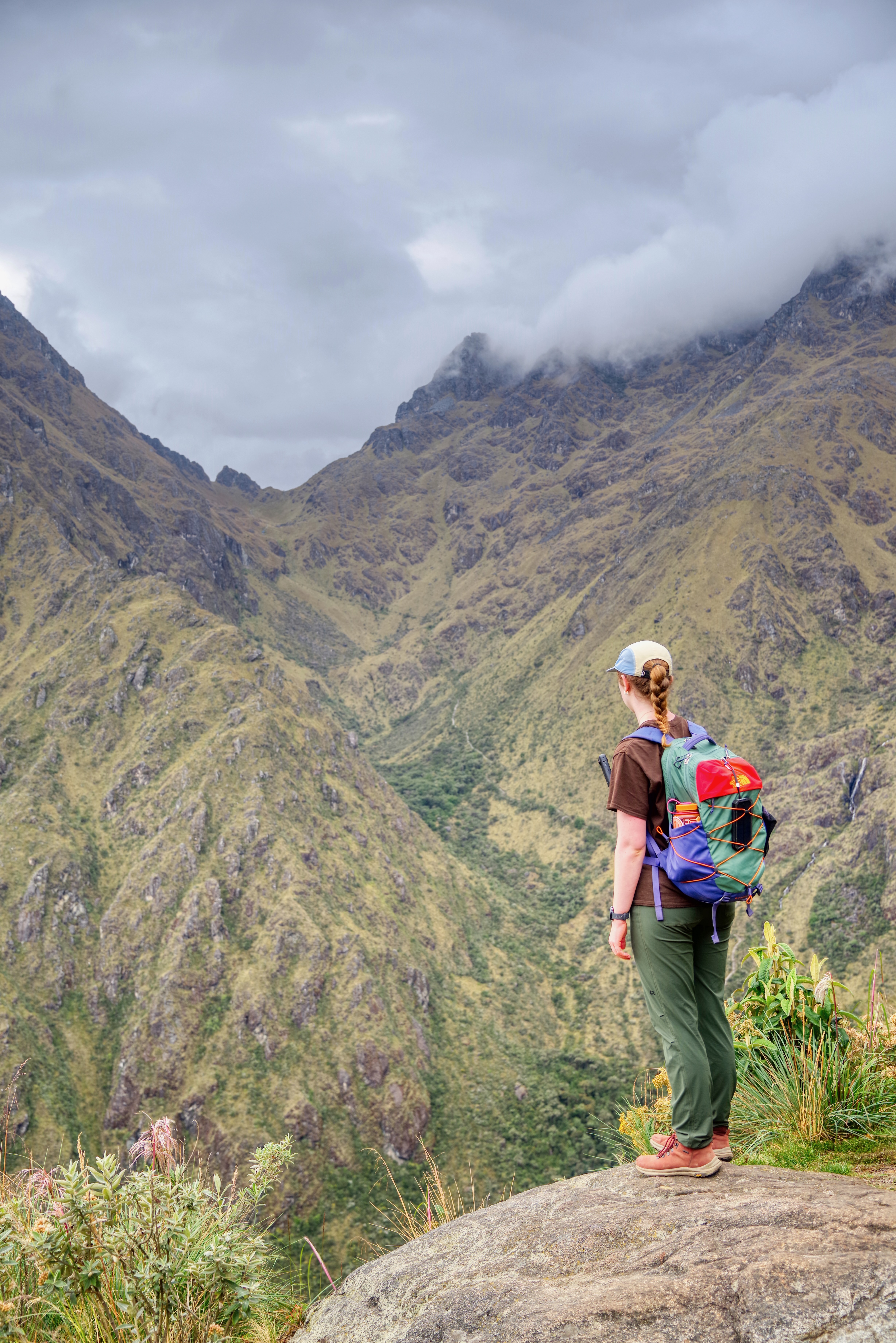
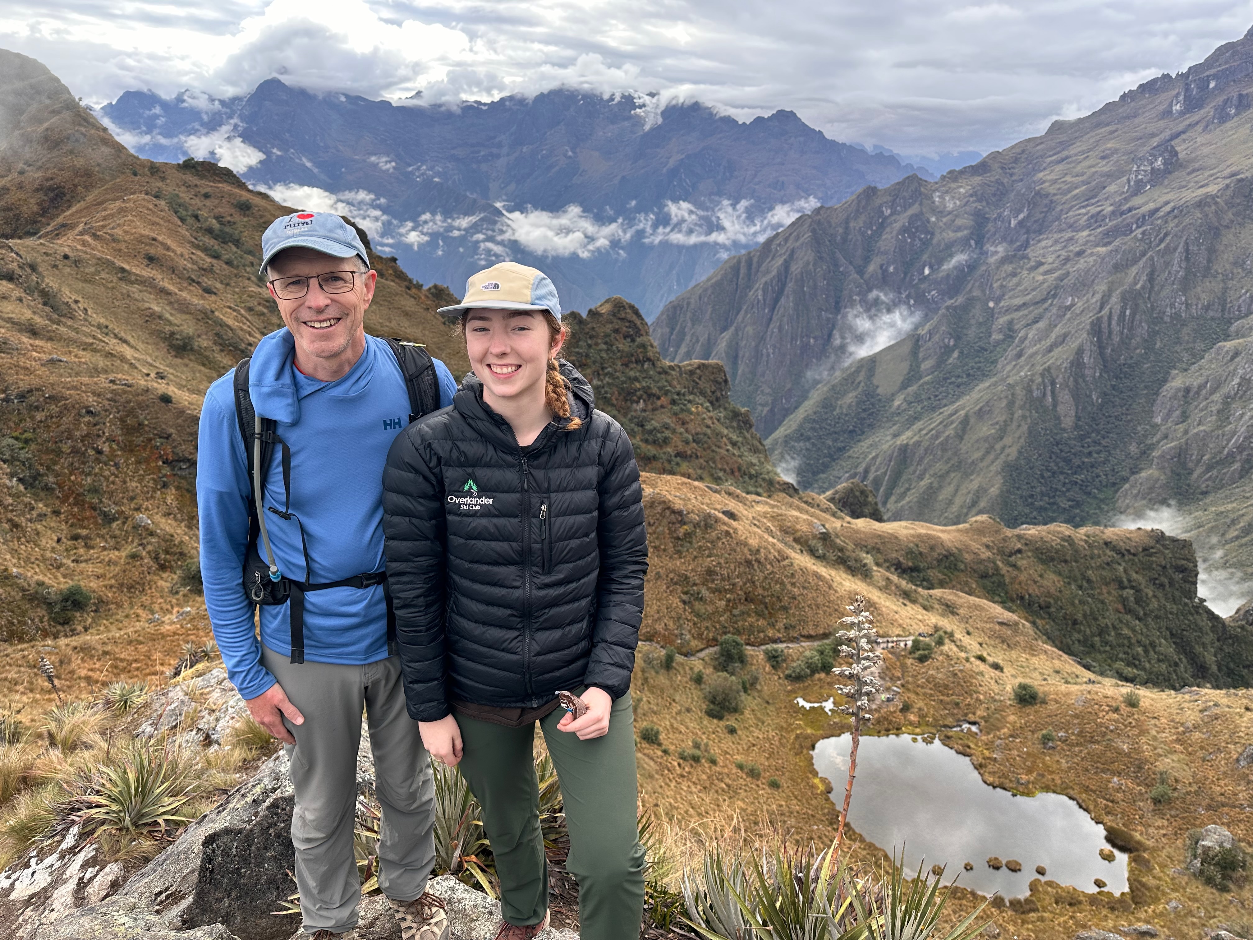
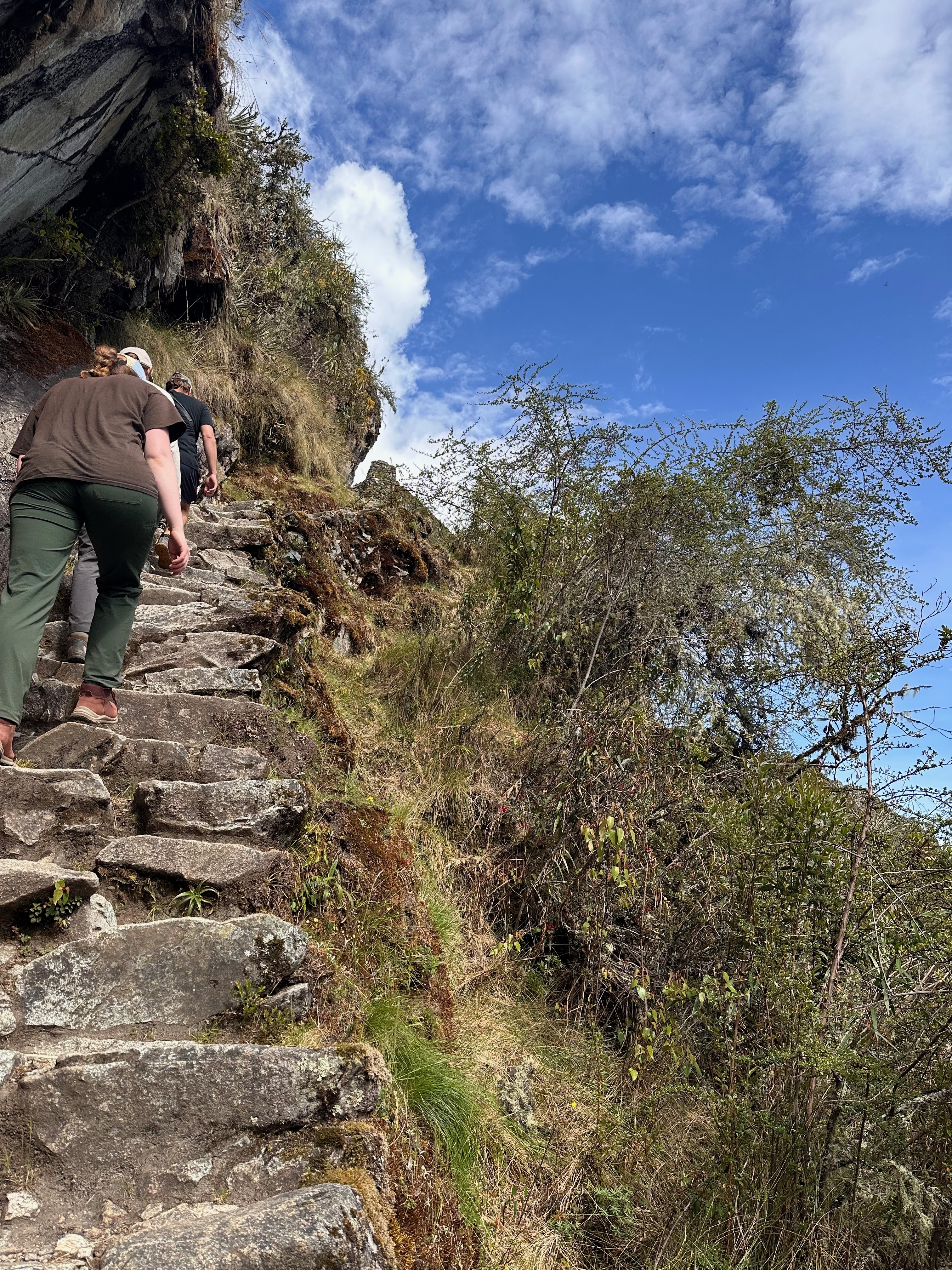
Our first summit was Runqurakay pass at 3970m. But we added a little more to climb up to the left to get the stunning views.

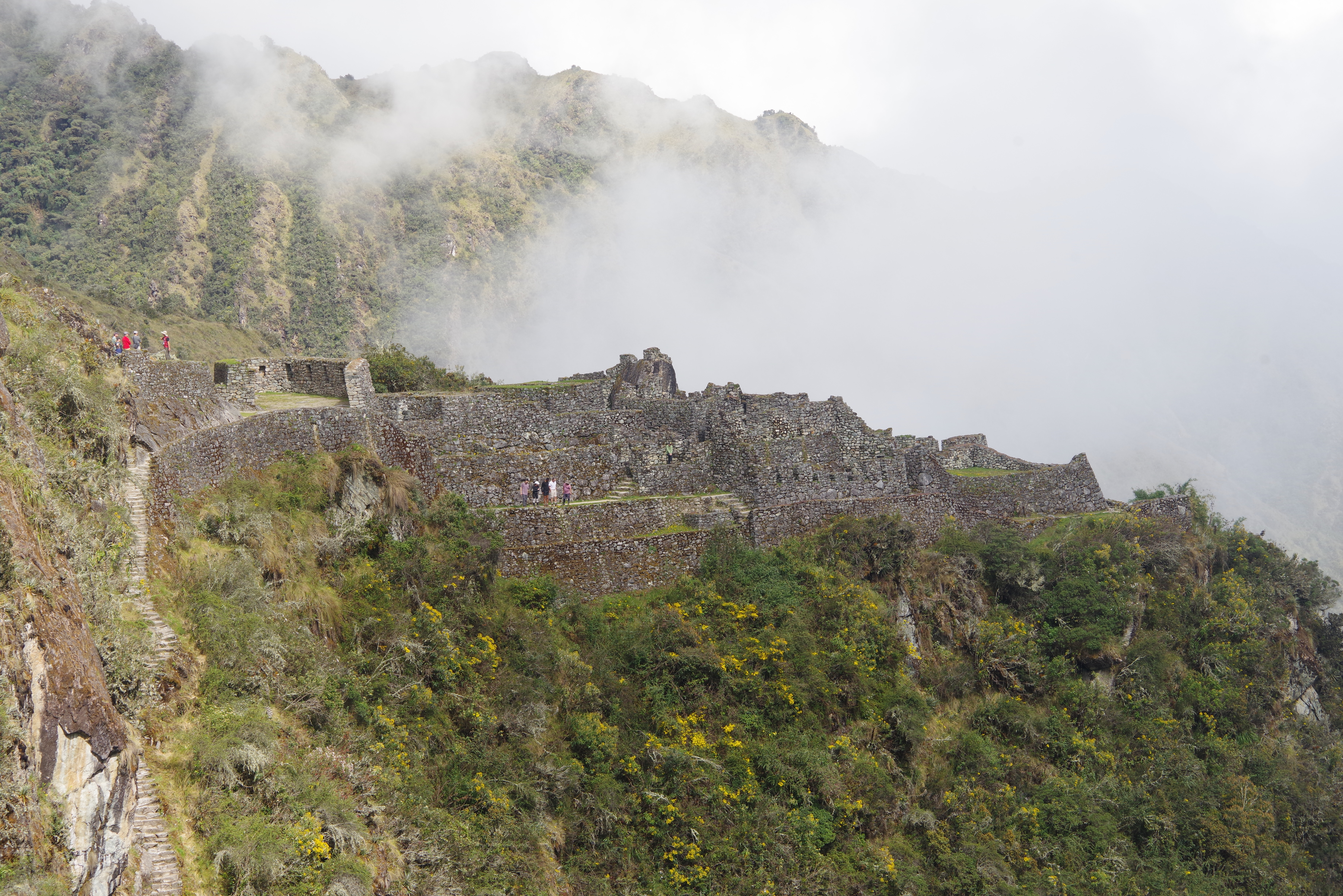
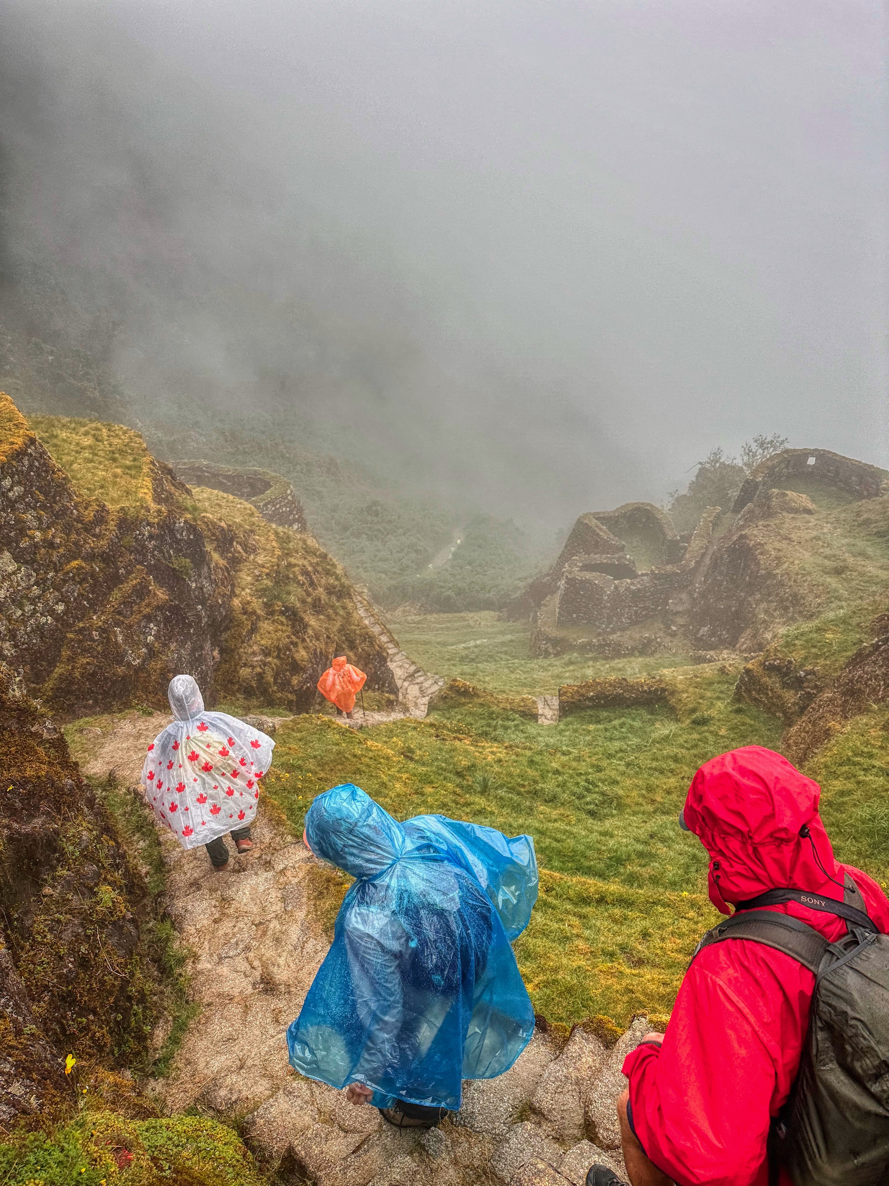
We then descended to Sayaqmarca, another important urban and religious site on the trail. It translates as “Inaccessible Town”. Reasonably apt as one has to go over two passes in either direction. And then the steps. It may have also been unironically dubbed as such by the aforementioned engineers.
“You want to put an outpost where?”
“Is now a good time to remind you about the river?”
It’s significance is emphasized by its alignment with the Machu Picchu site. Alignment achieved without line of sight and done entirely based on astronomy.

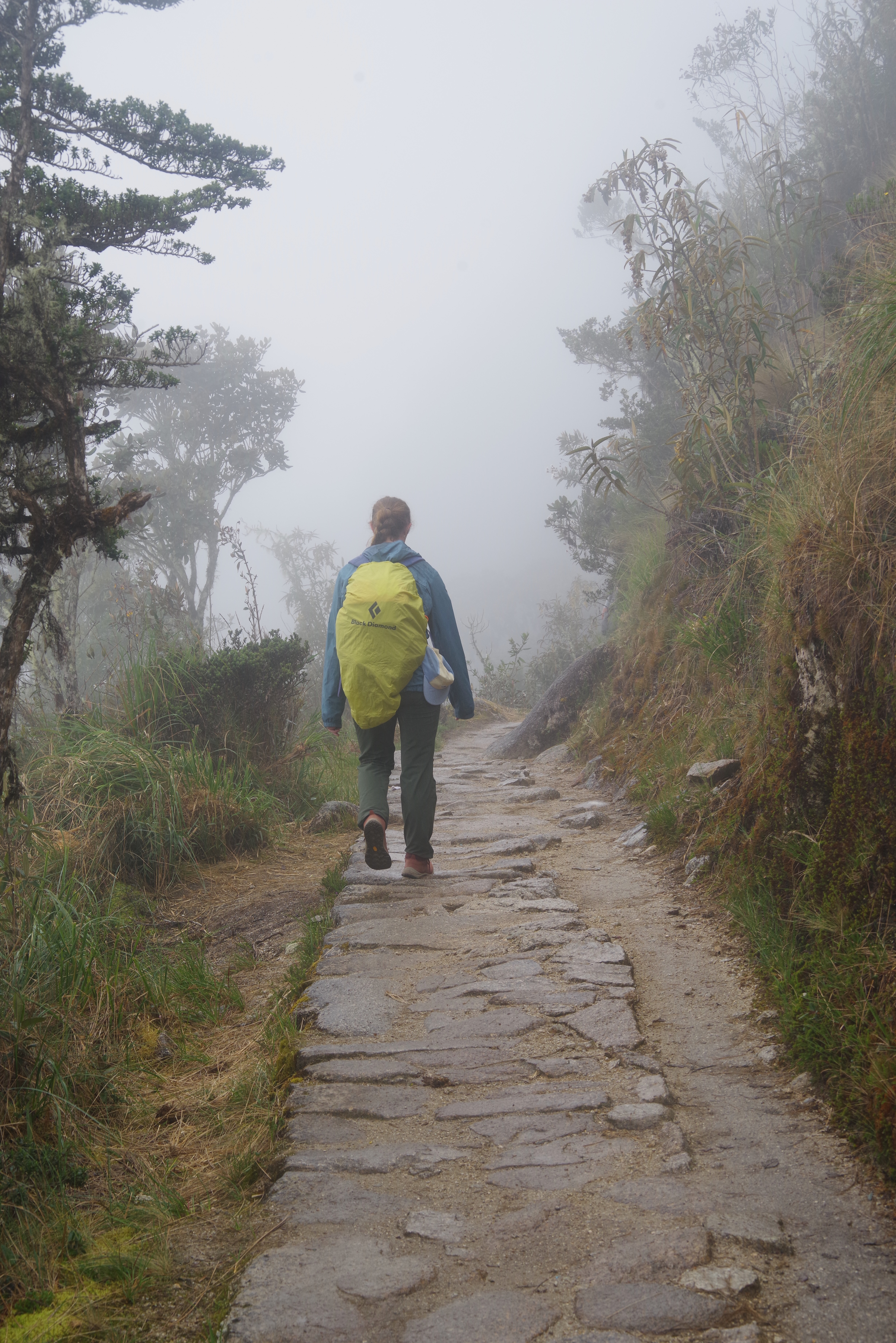
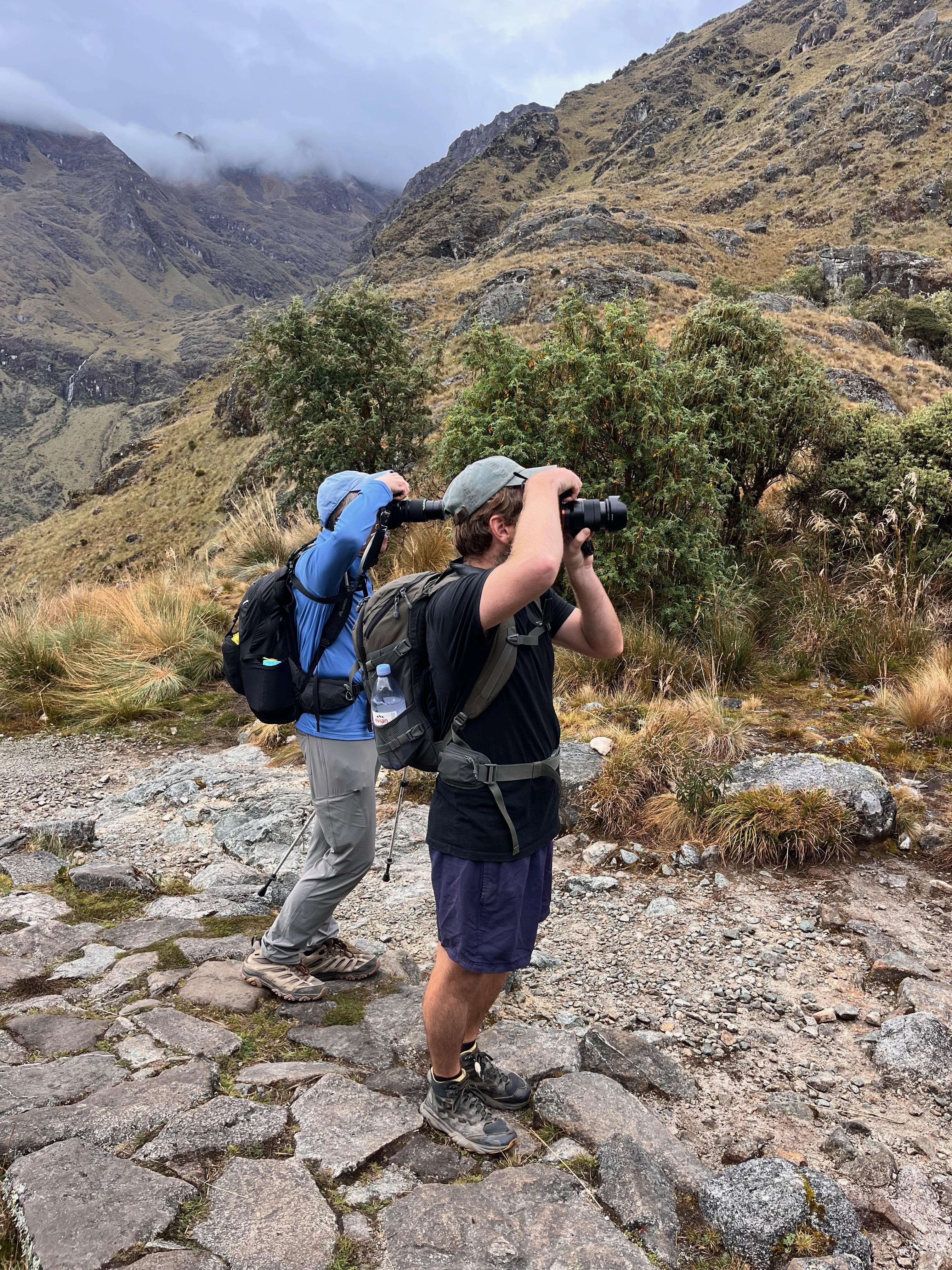
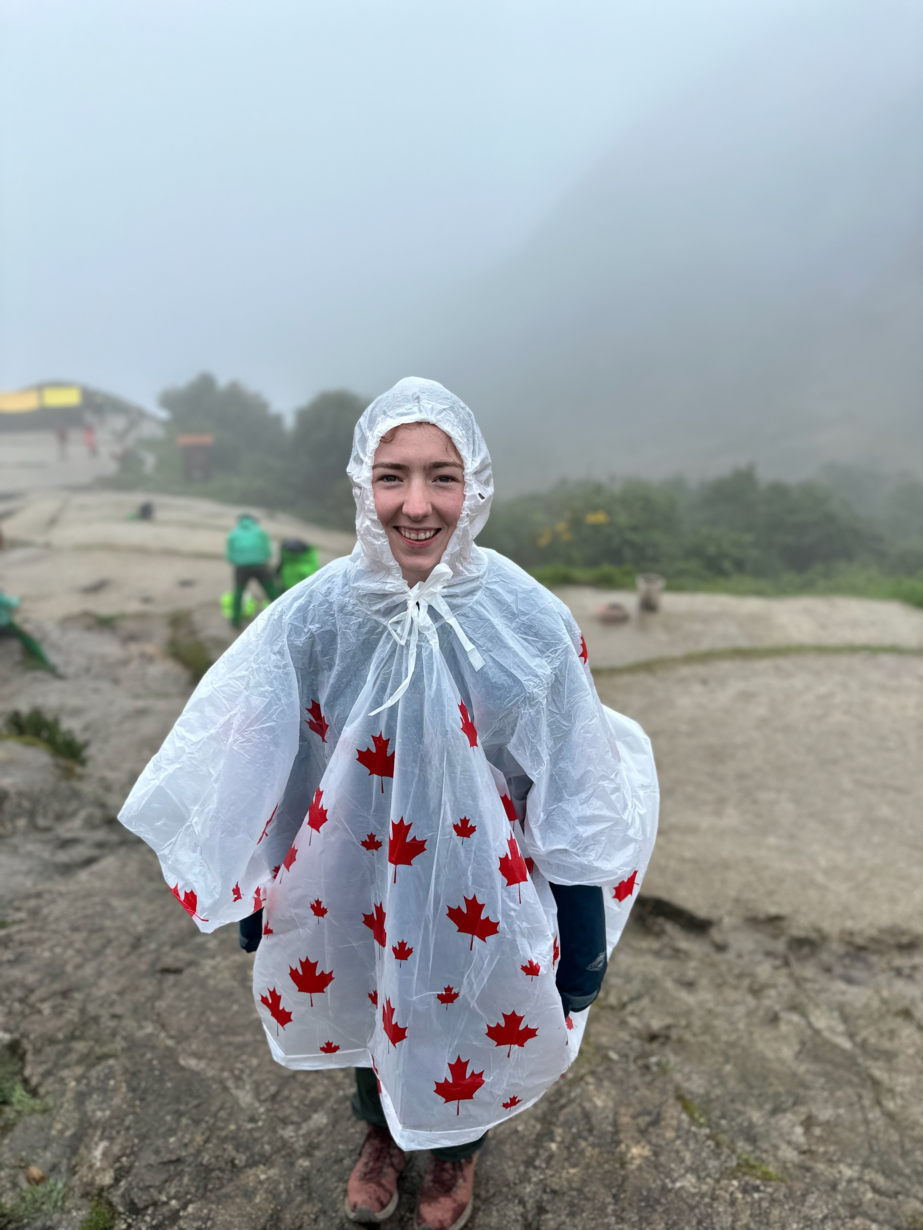
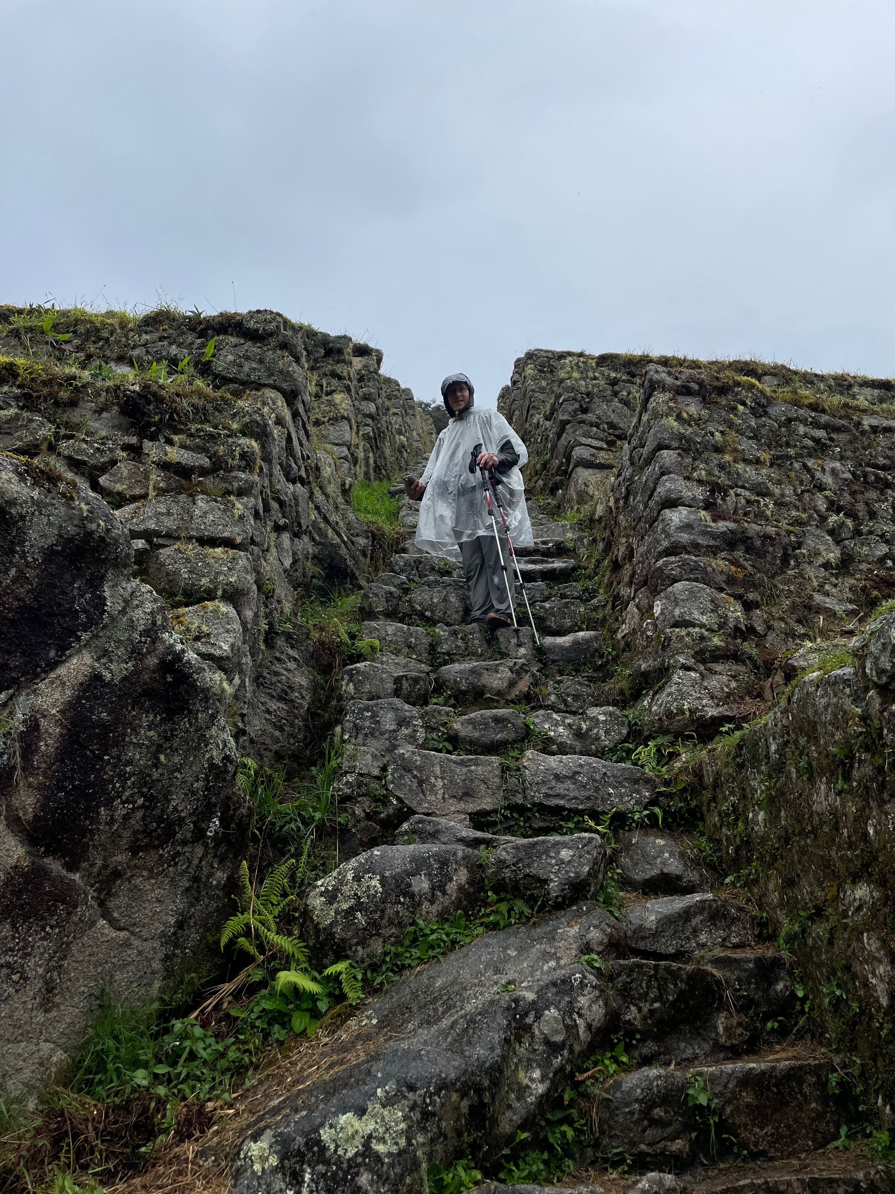
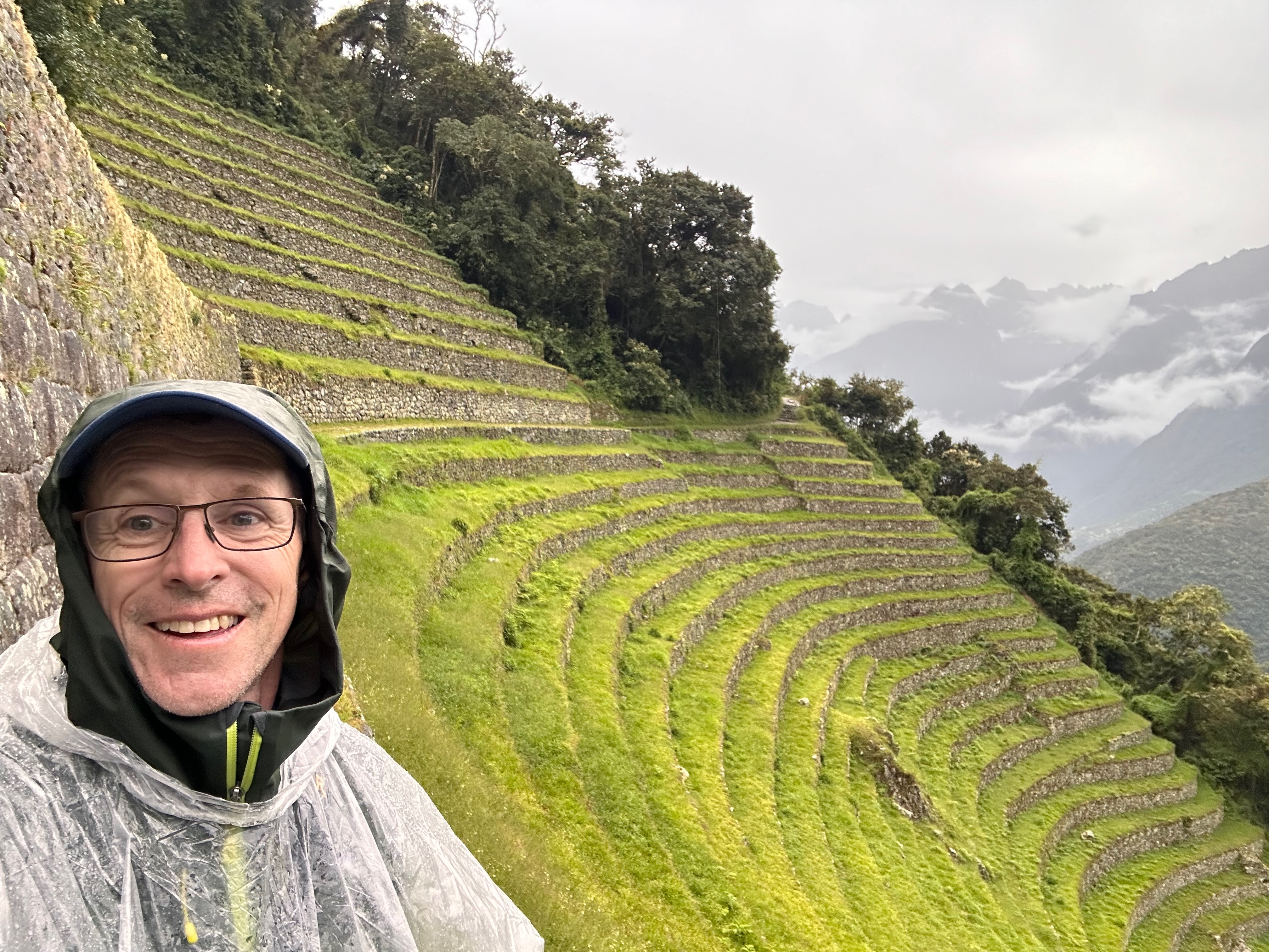
After a brief further descent we started our next climb to Phuyupatamarka. As we ascended we became shrouded in mist then drizzle then rain then serious rain meaning we put on the raincoats, then the pack covers then the ponchos over the raincoats and pack covers.
Needless to say, by the time we reached the relative less wetness of the lunch tent we were very damp.
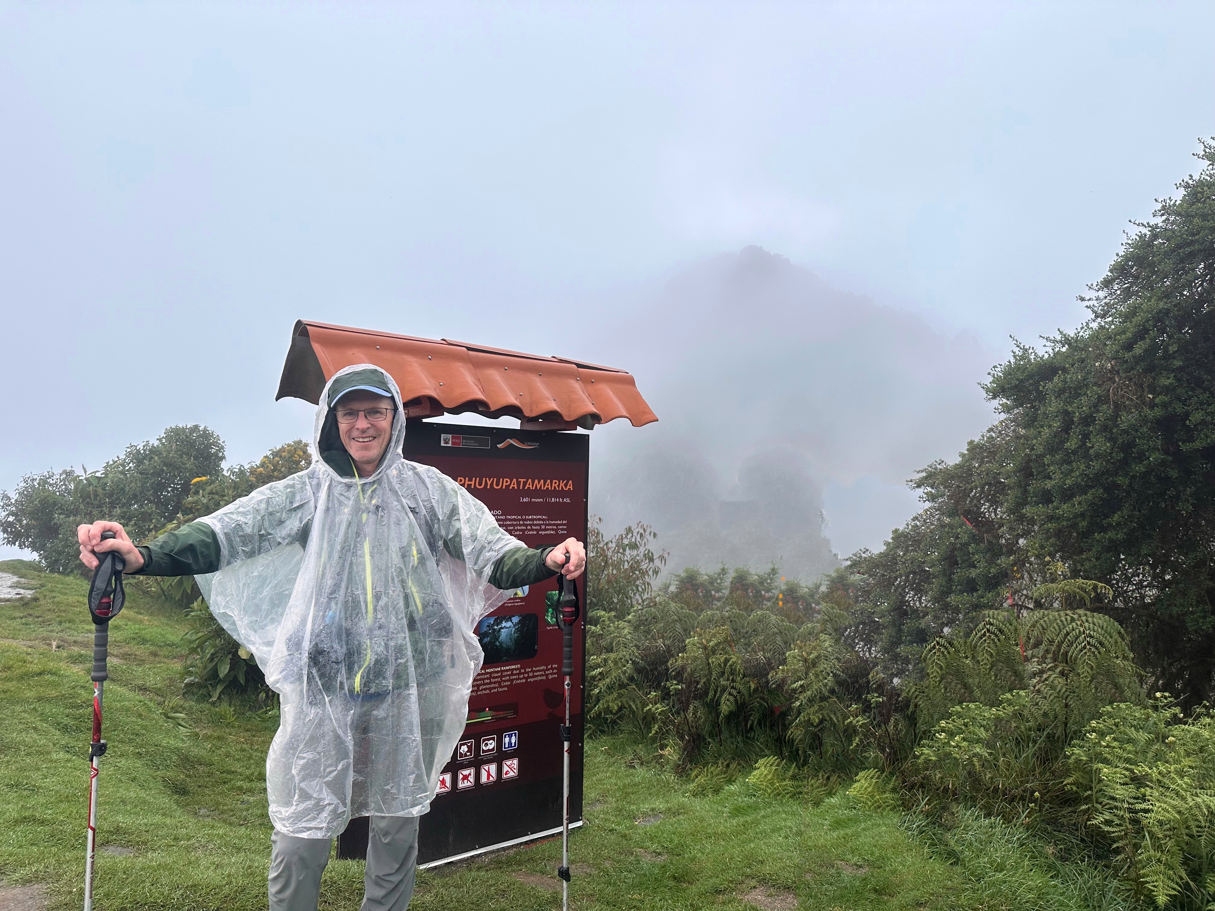
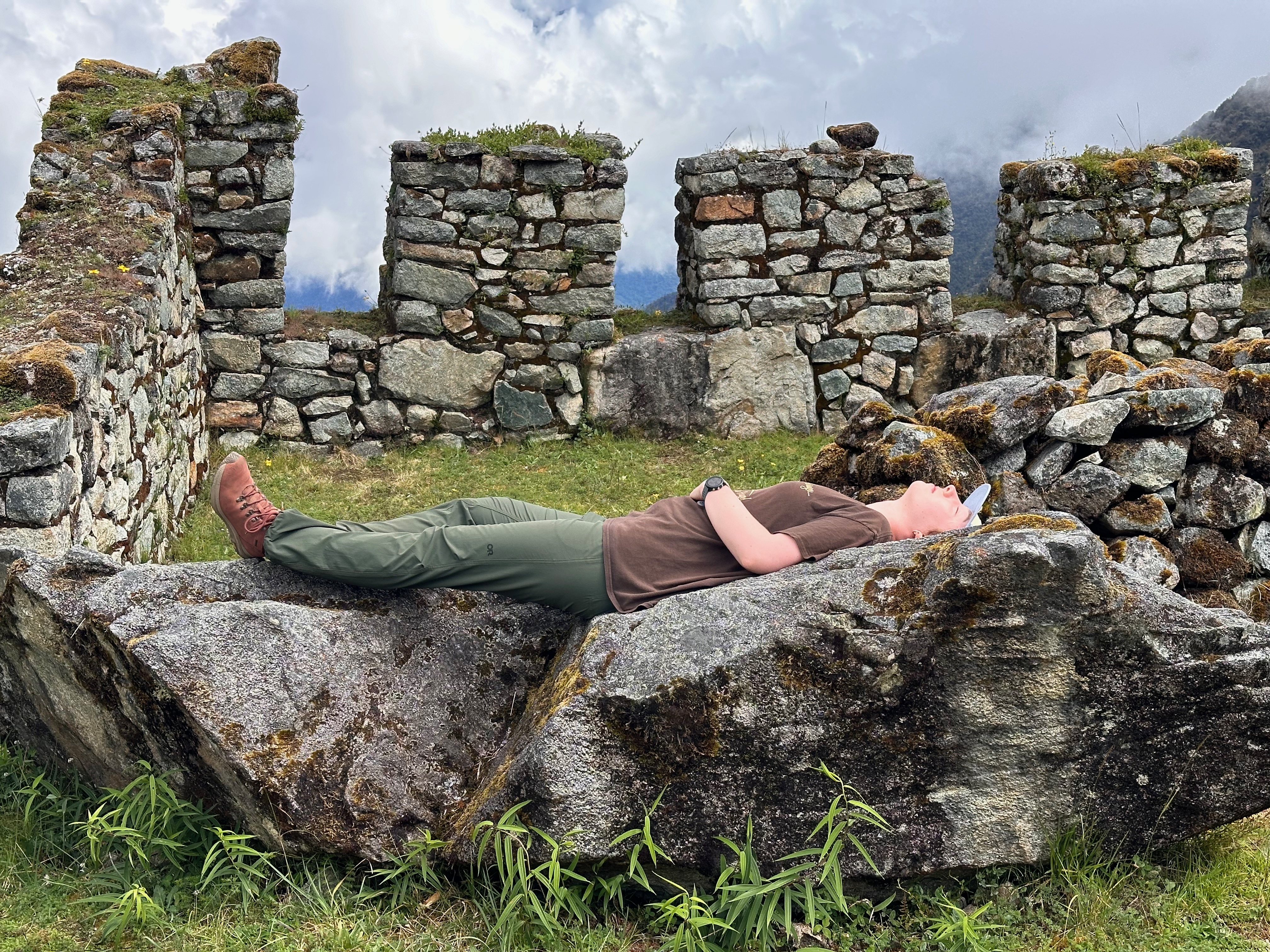
Phuyupatamarka (meaning Place of the Clouds) is listed as an Inca “spa” site where pilgrims would cleanse themselves in preparation for arrival at Machu Picchu. I have a mental picture of Inca’s lounging back in their hot tubs sipping their Pisco sours while looking down on Mt Machu Picchu.
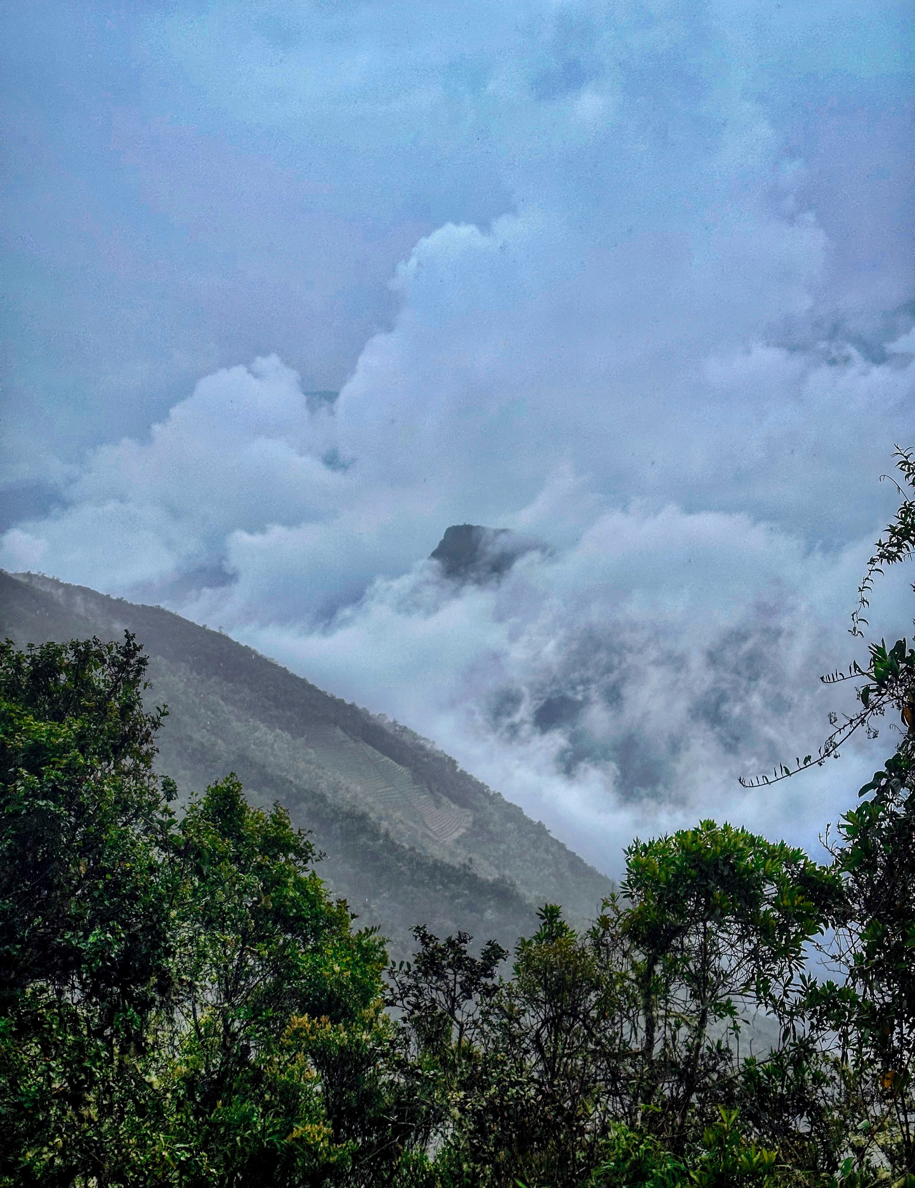
Yes “picturing” as the Quechua name gives a clue. One has to imagine Mt Machu Picchu as there was no seeing it when we were there.
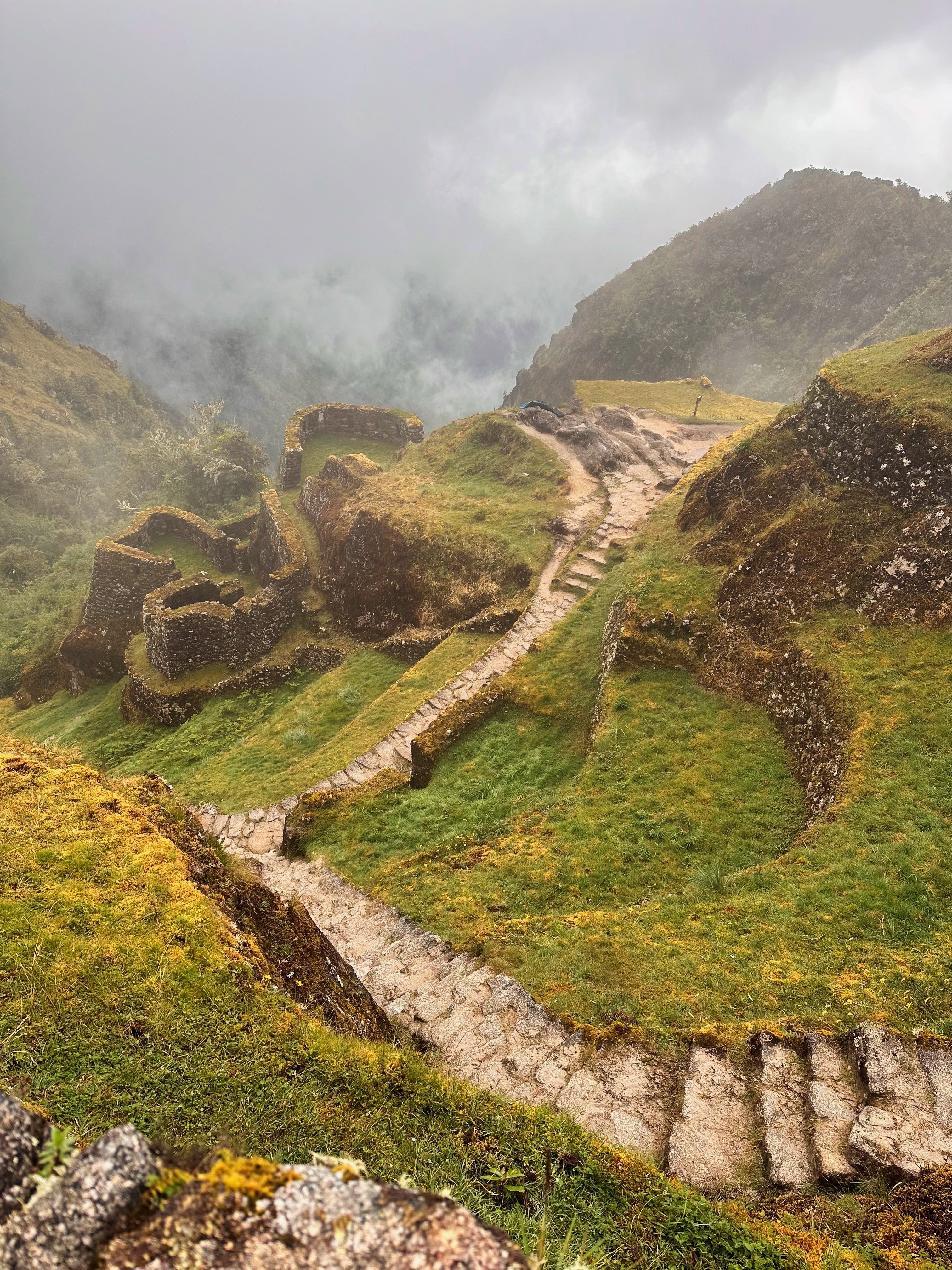
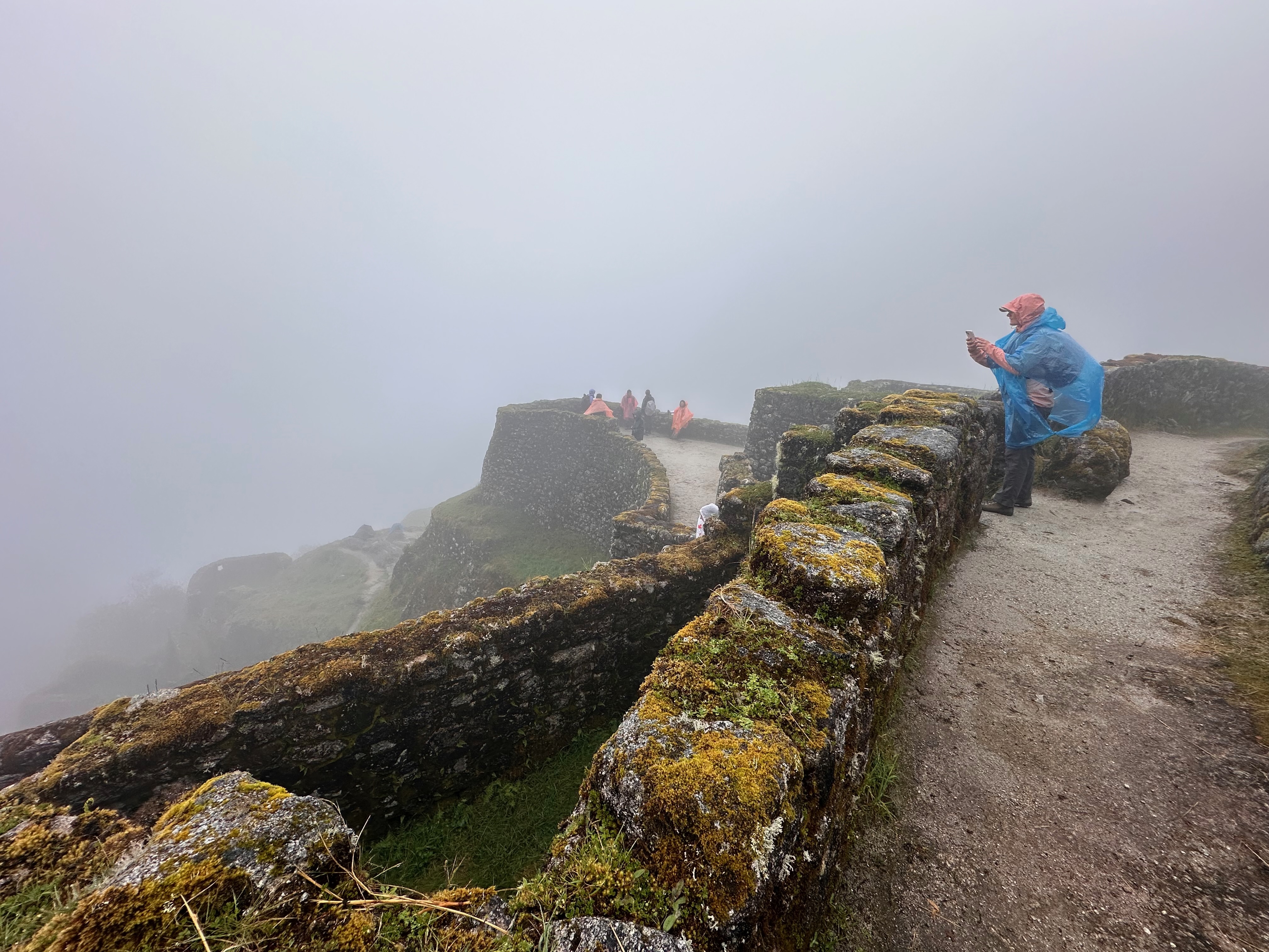
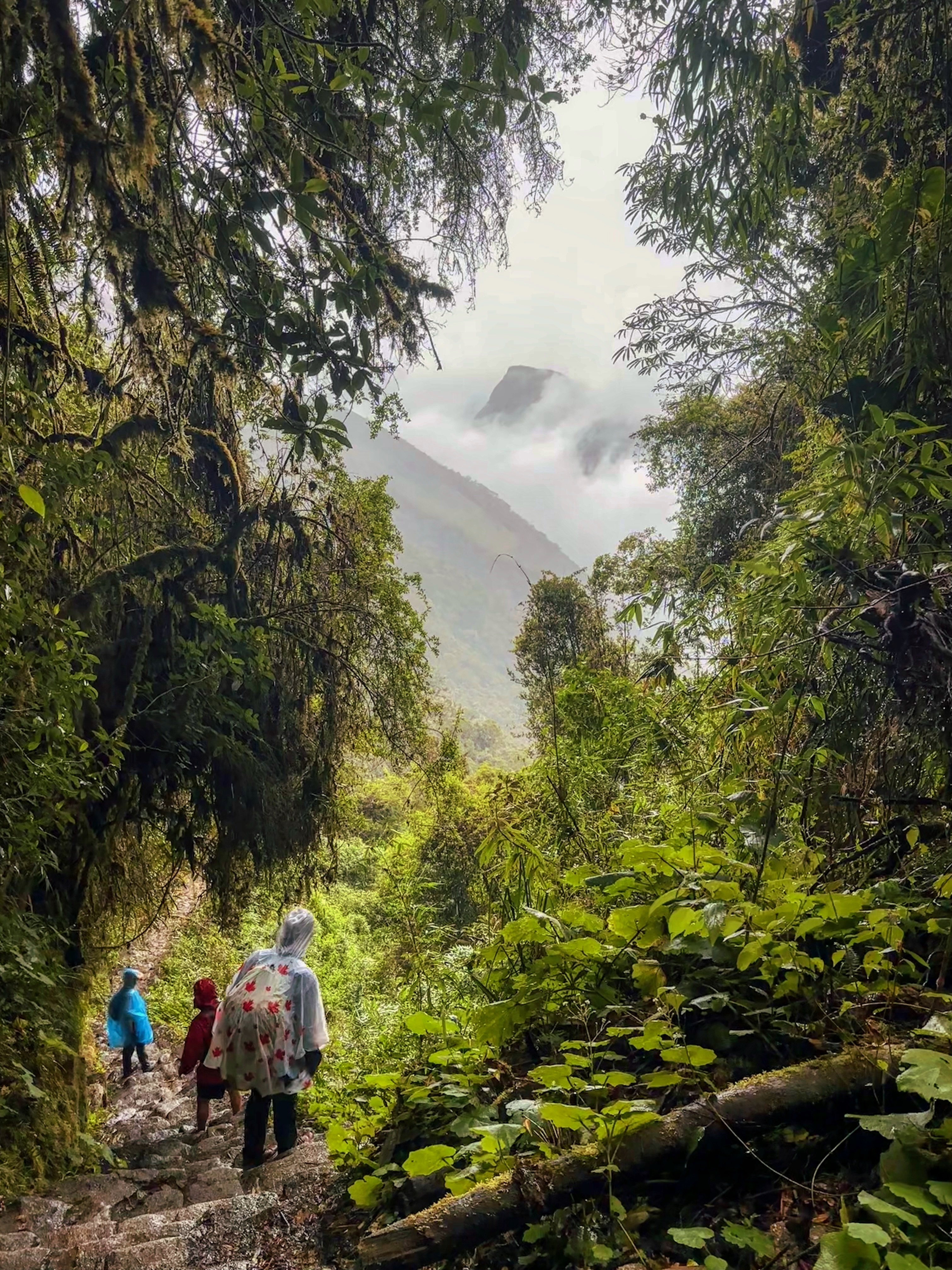
The rain did pause briefly after lunch as we explored the ruins, marvelled at the engineering and the still intact irrigation system and imagined the view. But, as we descended, it returned with a vengeance. At some times raining down so hard that waterfalls cascaded down the stone steps.
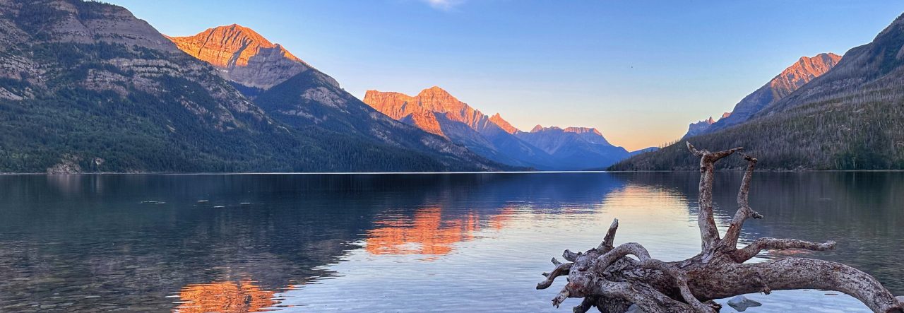
On the few times I was able to stop and snap a photo I didn’t realize that I happened to actually capture Mt Machu Picchu in the distance, poking through the clouds.
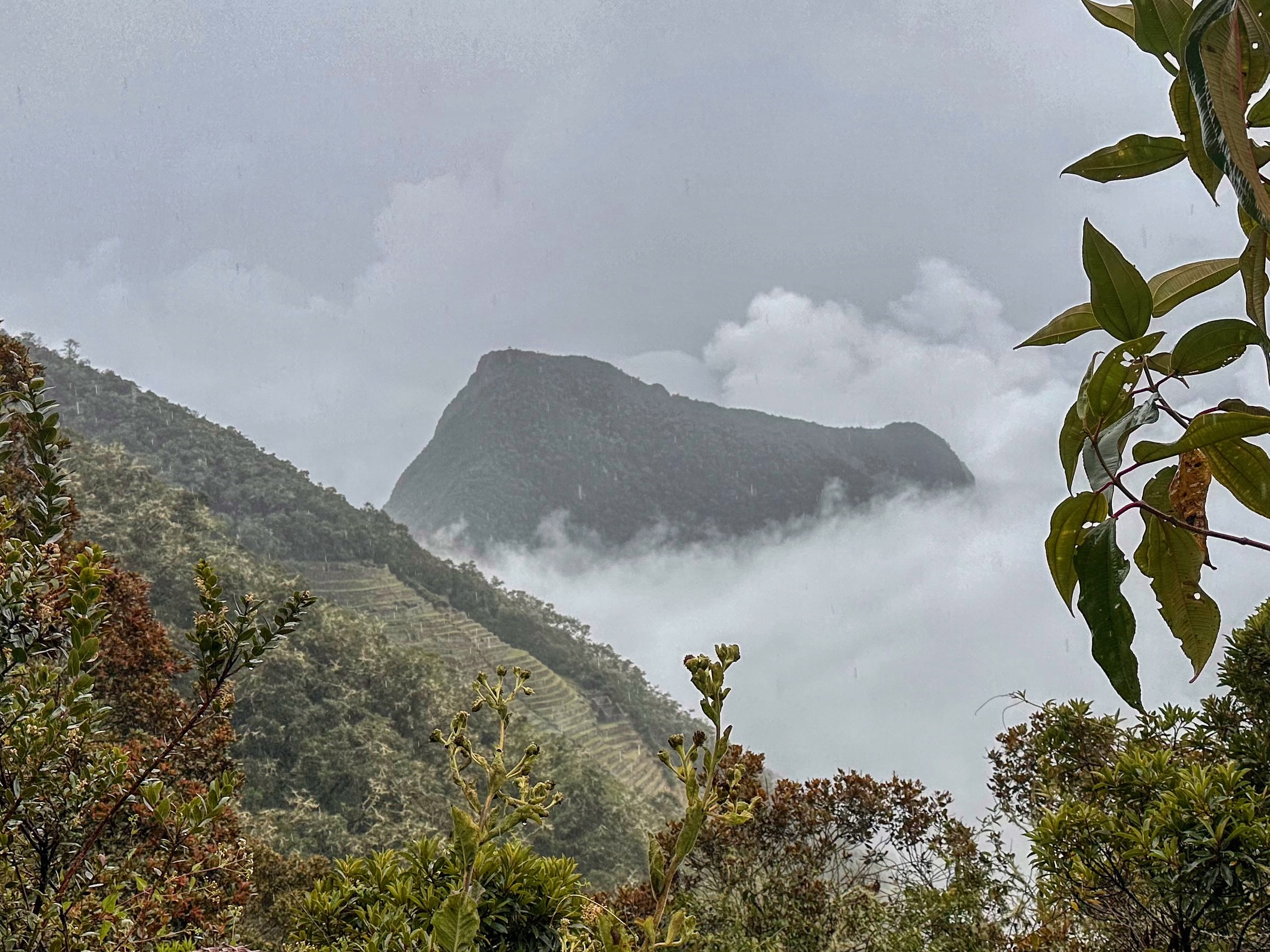
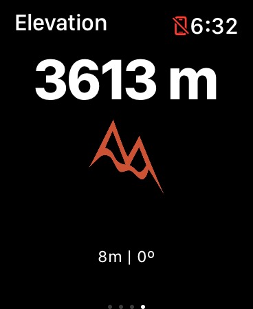
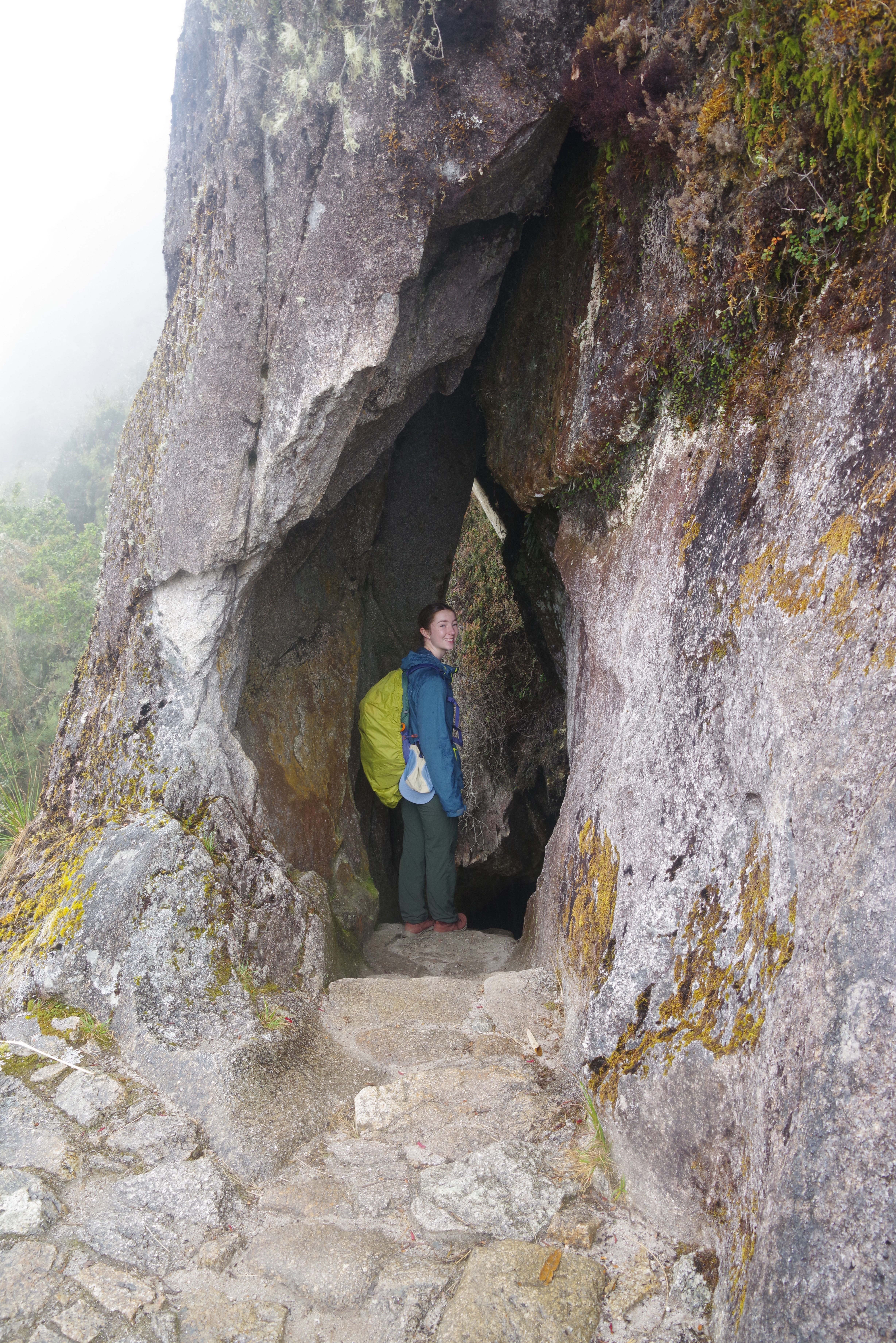
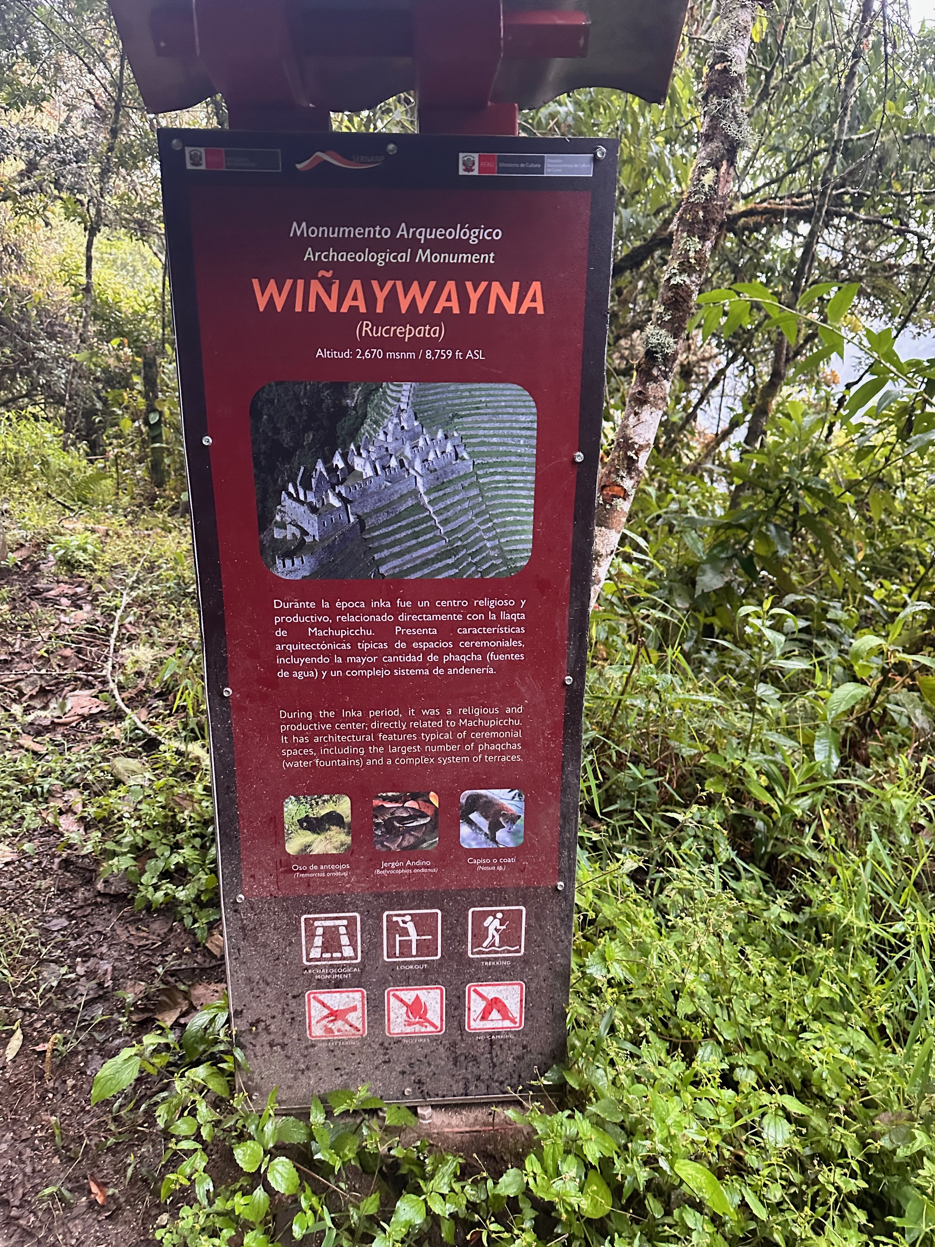
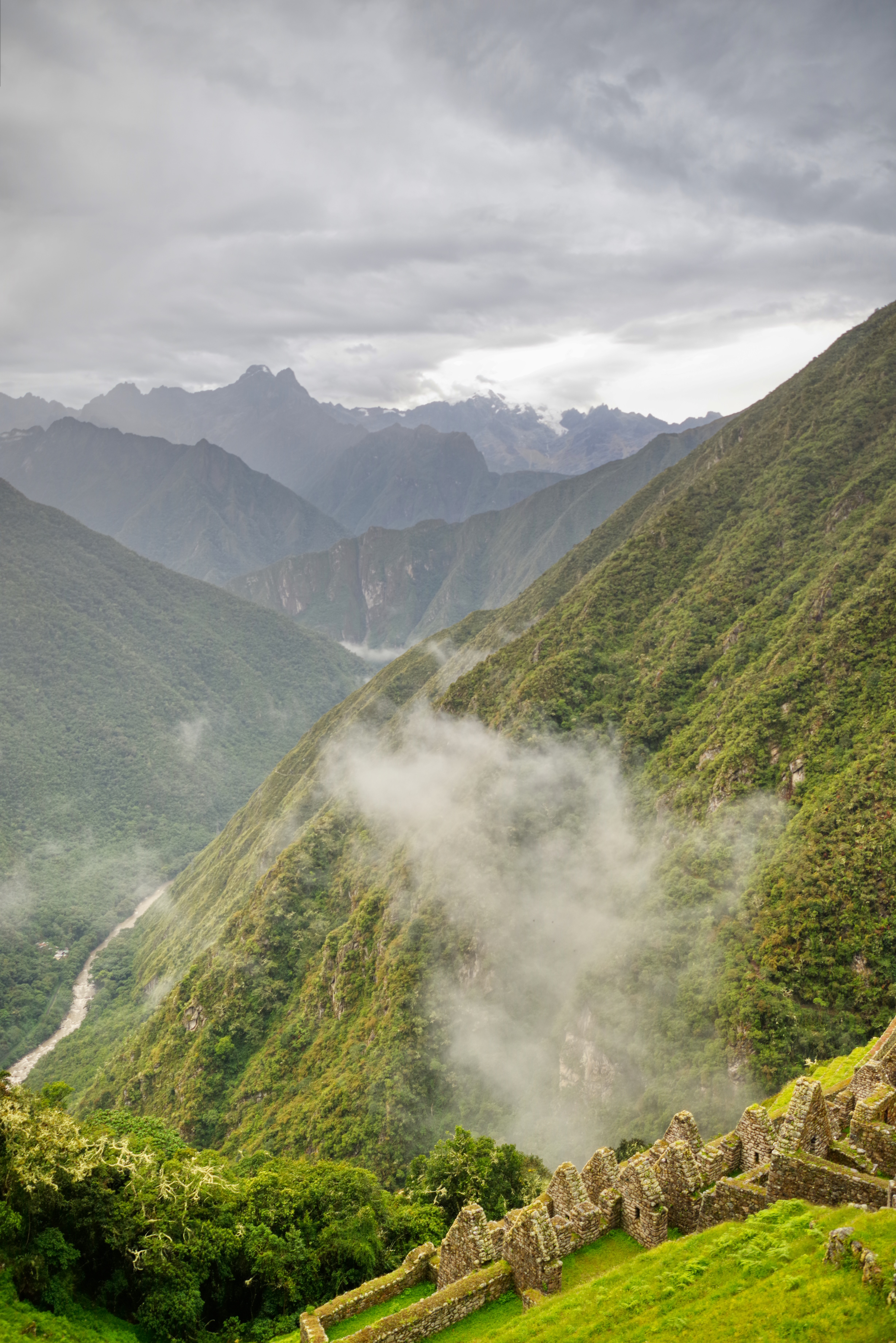
The ridge we were now descending was the continuation of the ridge that comes down from Mt Salcantay. The ridge that ends with at Machu Picchu (and the iconic Mt Huayna Picchu). The trail climbs up the north side of the ridge to cross it at Runqurakay (3970m), descends down and then back up the south side to cross again at Phuyupatamarka (3601 m) “above” Mt Machu Picchu (3000m) and descends down the north side to Winaywayna (2670m) below the mountain.
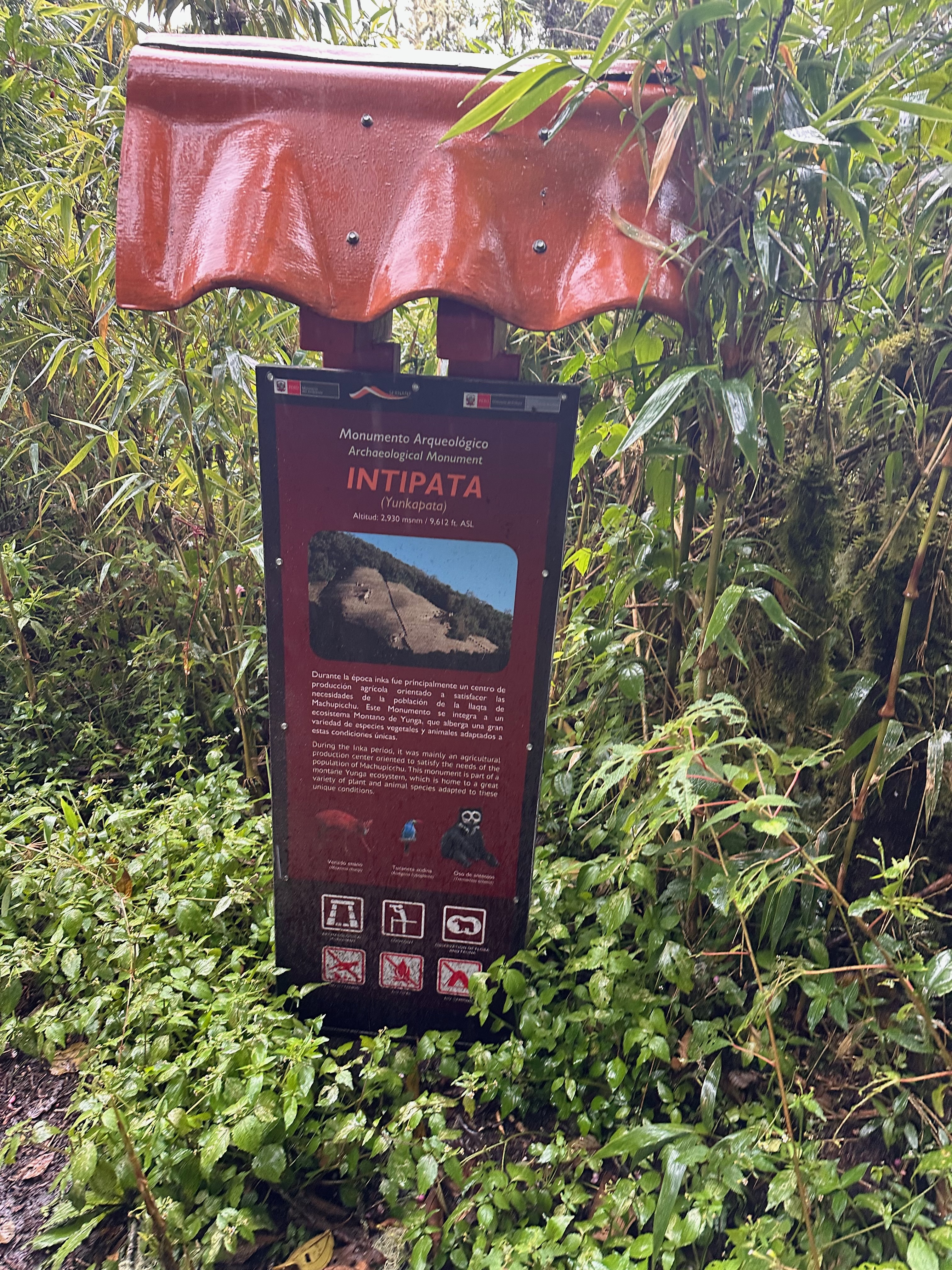
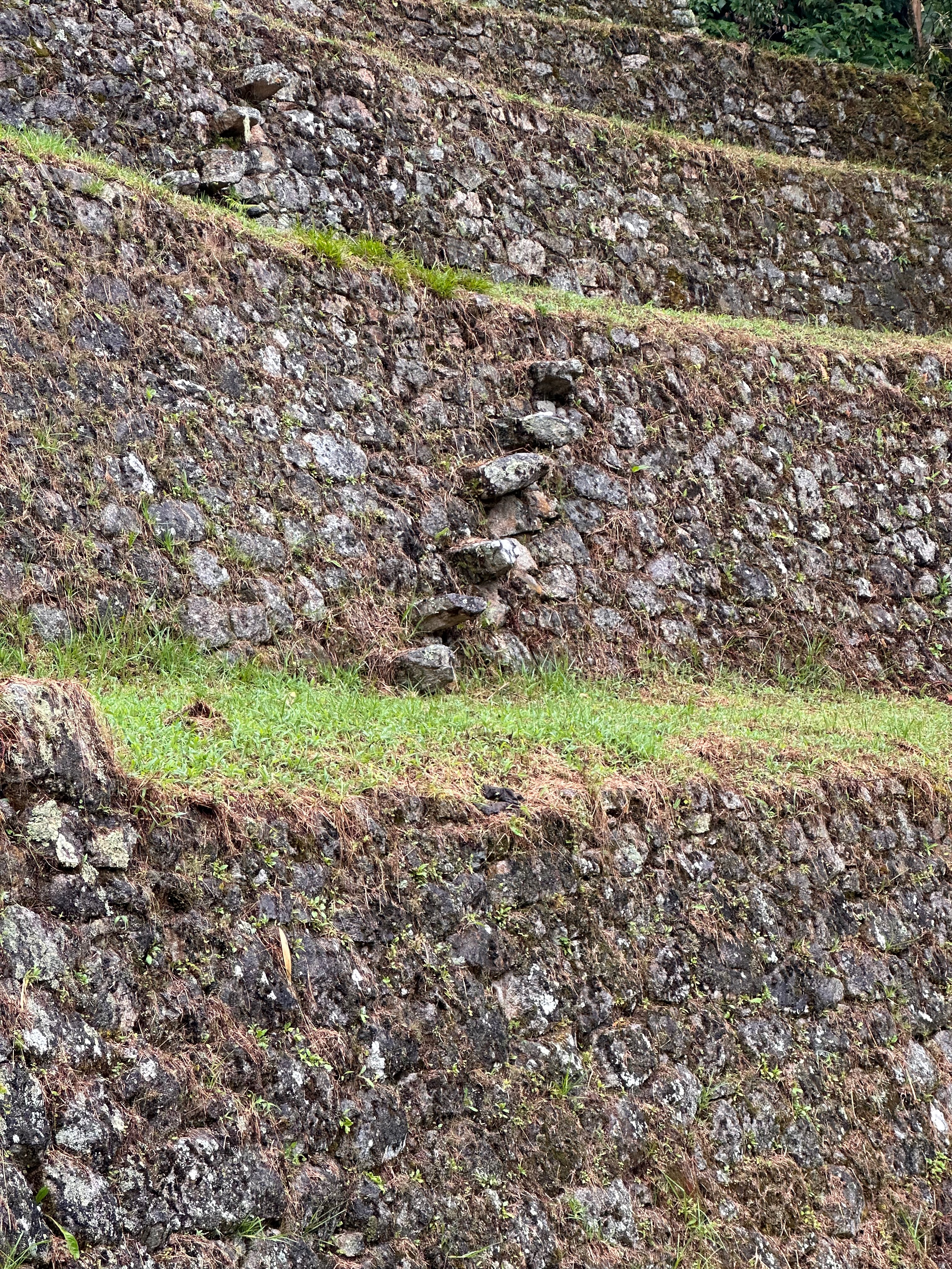
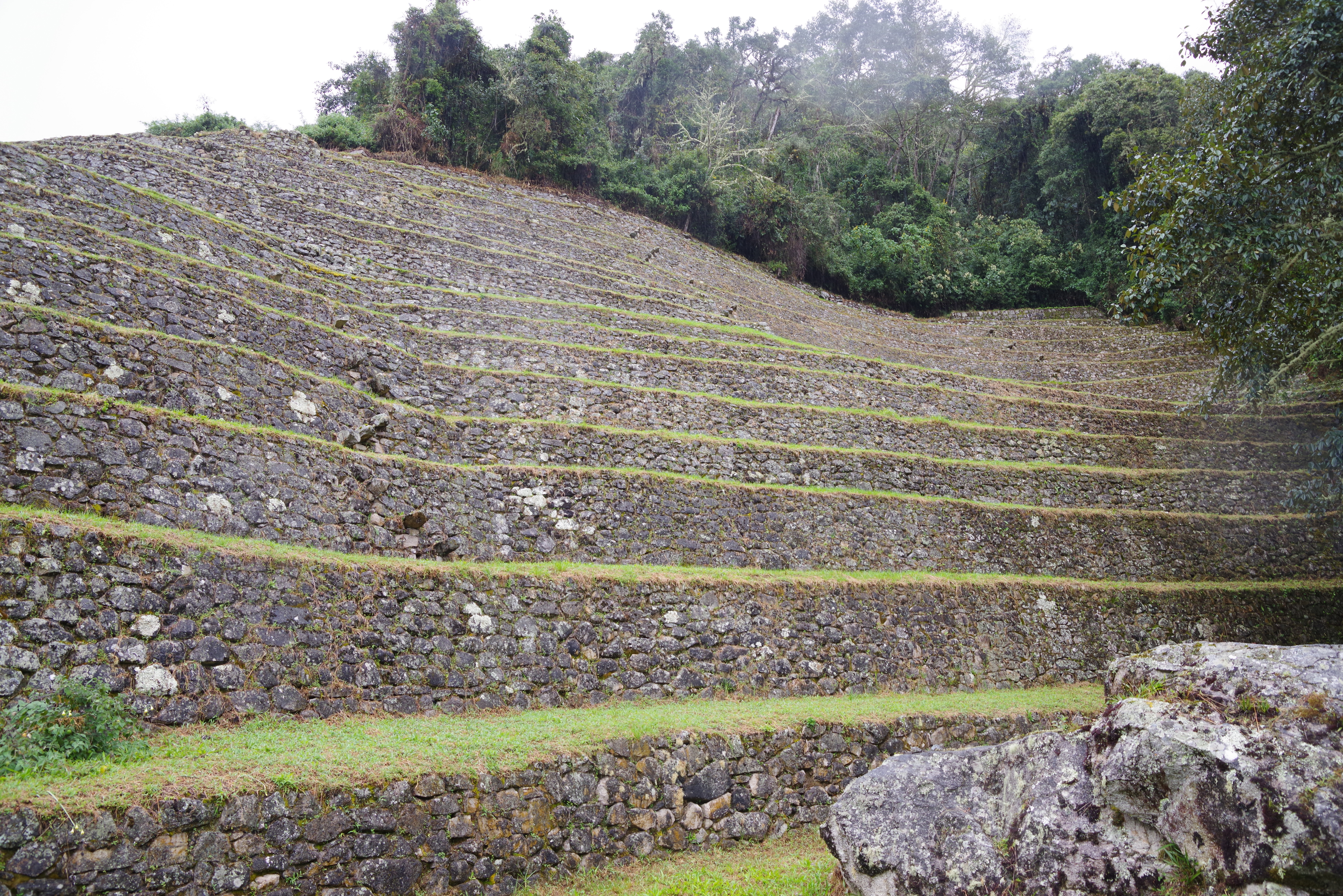
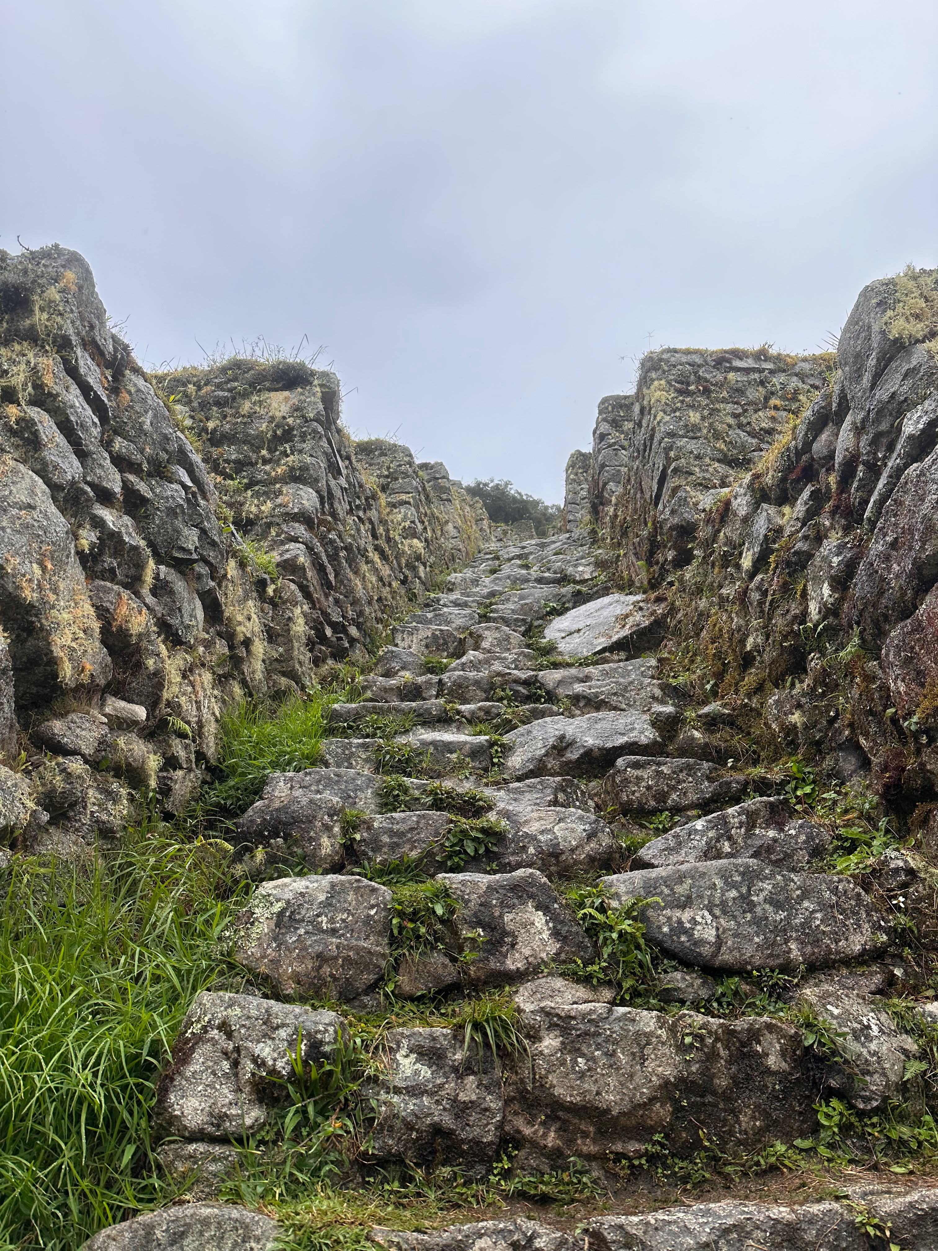
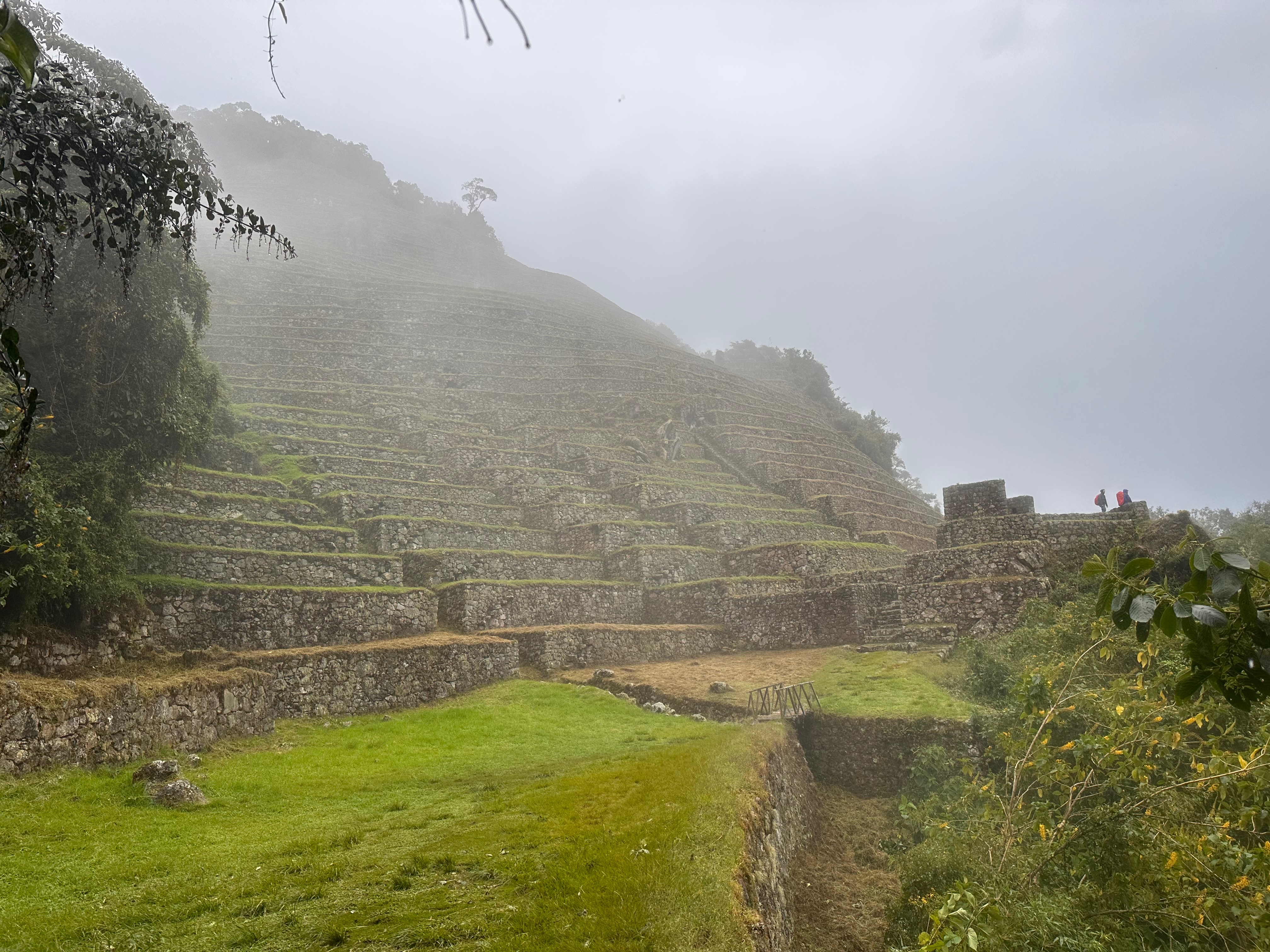
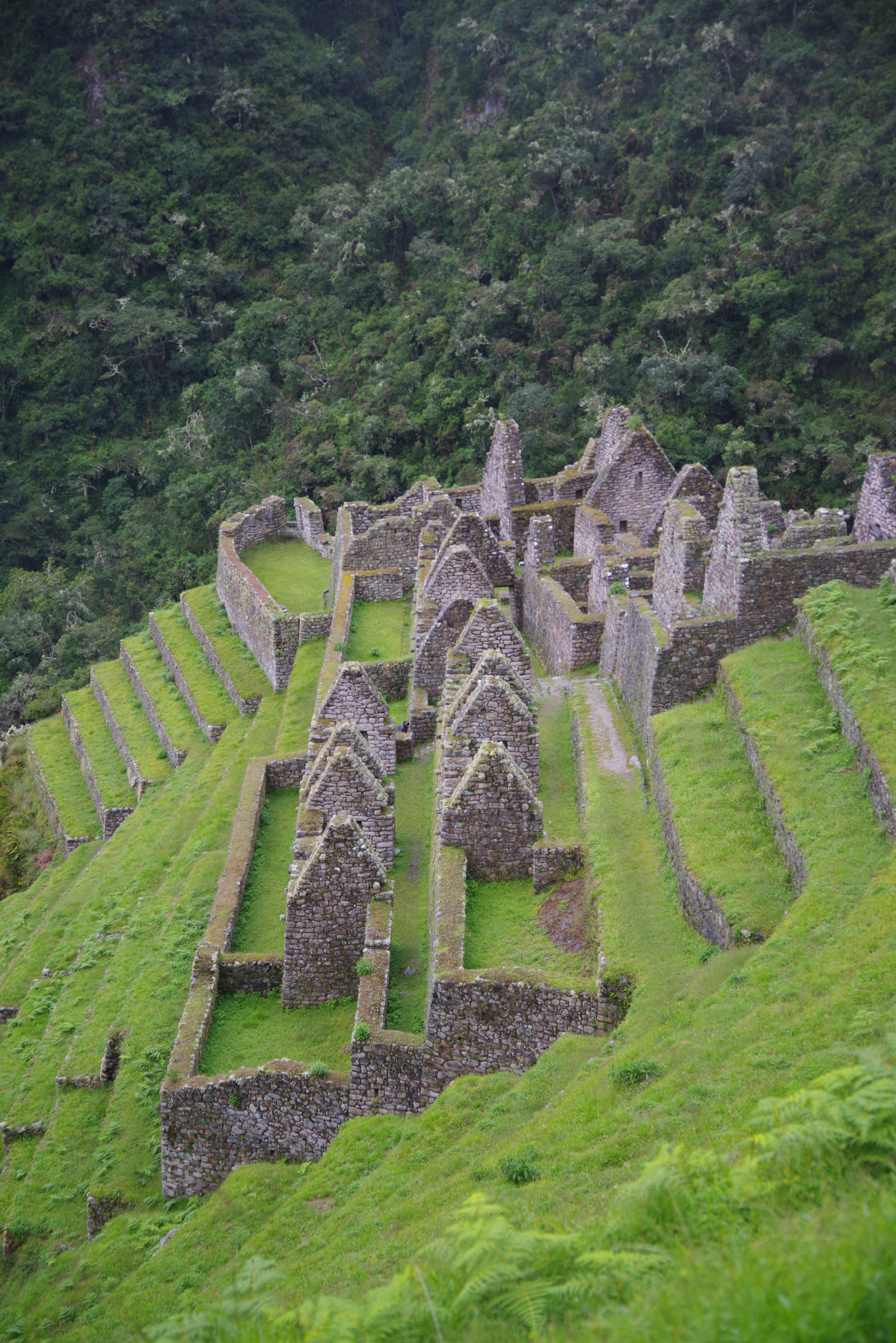
On the way down the trail passes across, beside and then back across the extensive ruins of Intipata. This means “Place of the Sun”. Not named on a day like today it seems. Part of the trail descends down the very treacherous, particularly in the rain, steps down the middle of the extensive terraces that were used for agriculture. A feature of the terracing was that different layers would thus be in different micro climates and thus able to grow different produce.
By this time Thea was very soaked and not at all interested in her dad lingering to study the construction and take photos.
It was also here that we got asked directions.
It’s a thing.
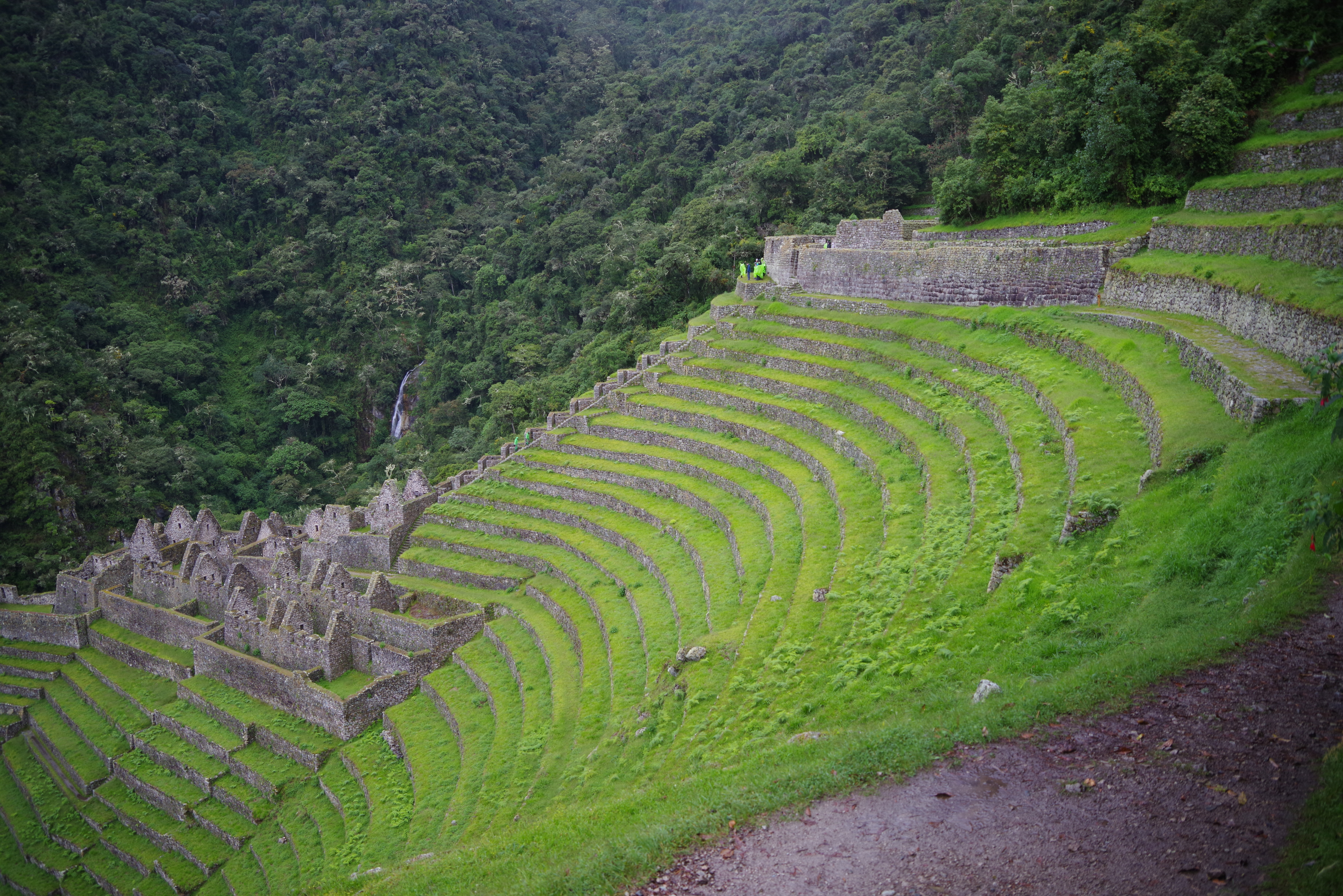
We sloshed into camp and no-one else was at all interested in going the further 300m to the equally extensive Winaywayna ruins. Possibly the most impressive ones on the trail. Particularly in the way they are carved/constructed into the curve of the valley.
I’m also picturing the engineers..
“Look boss. The river is _right_ there!”
In all 14.7km and 934m elevation gain. And a lot of descent!
Time to switch into some slightly less wet gear.
