First it was via the market for some “essentials’ to take with us to the lake communities we were scheduled to visit. Here we were introduced to the Peruvian corn candy. Much like puffed wheat but made with corn.
Then to the boat.
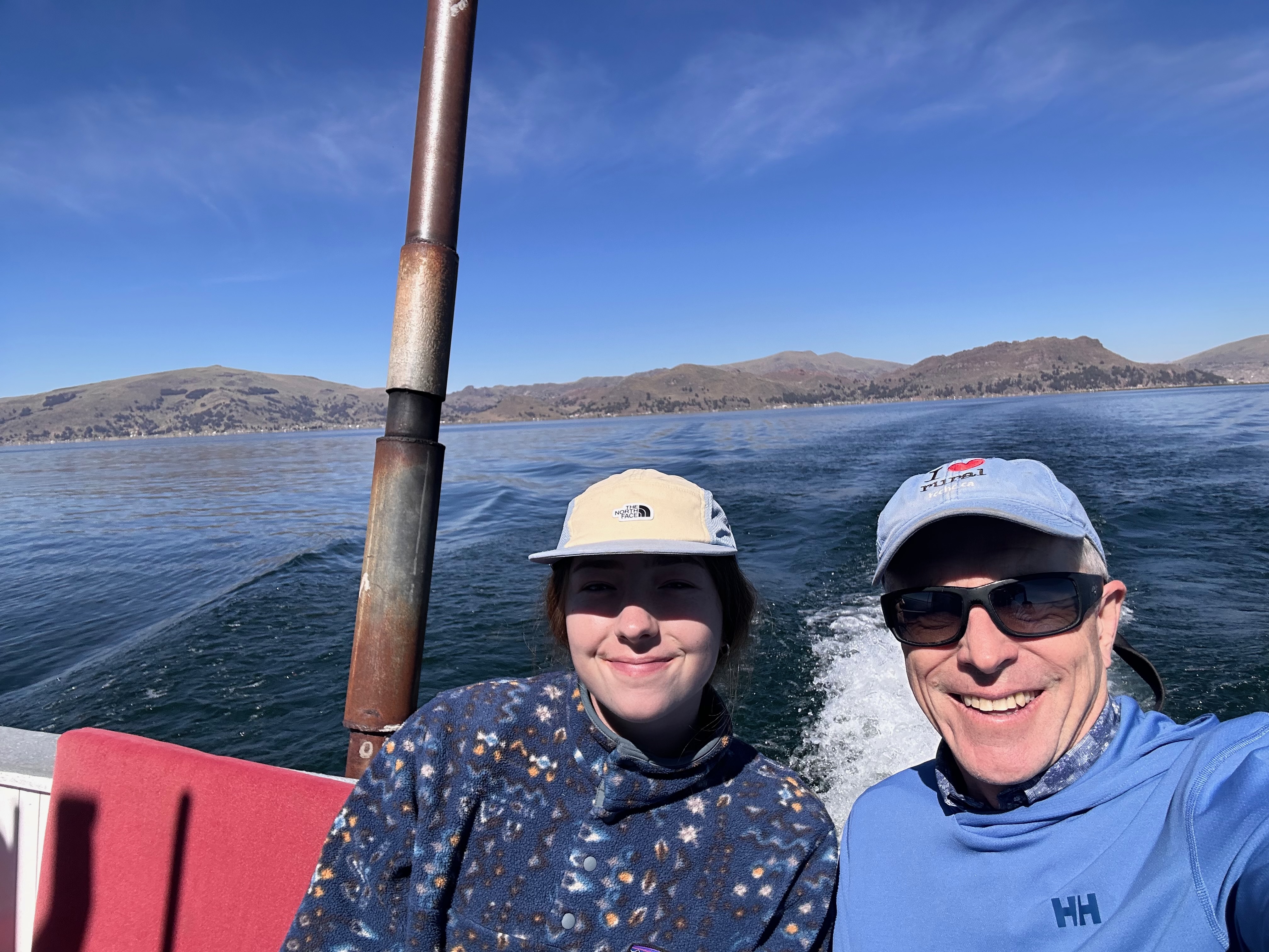
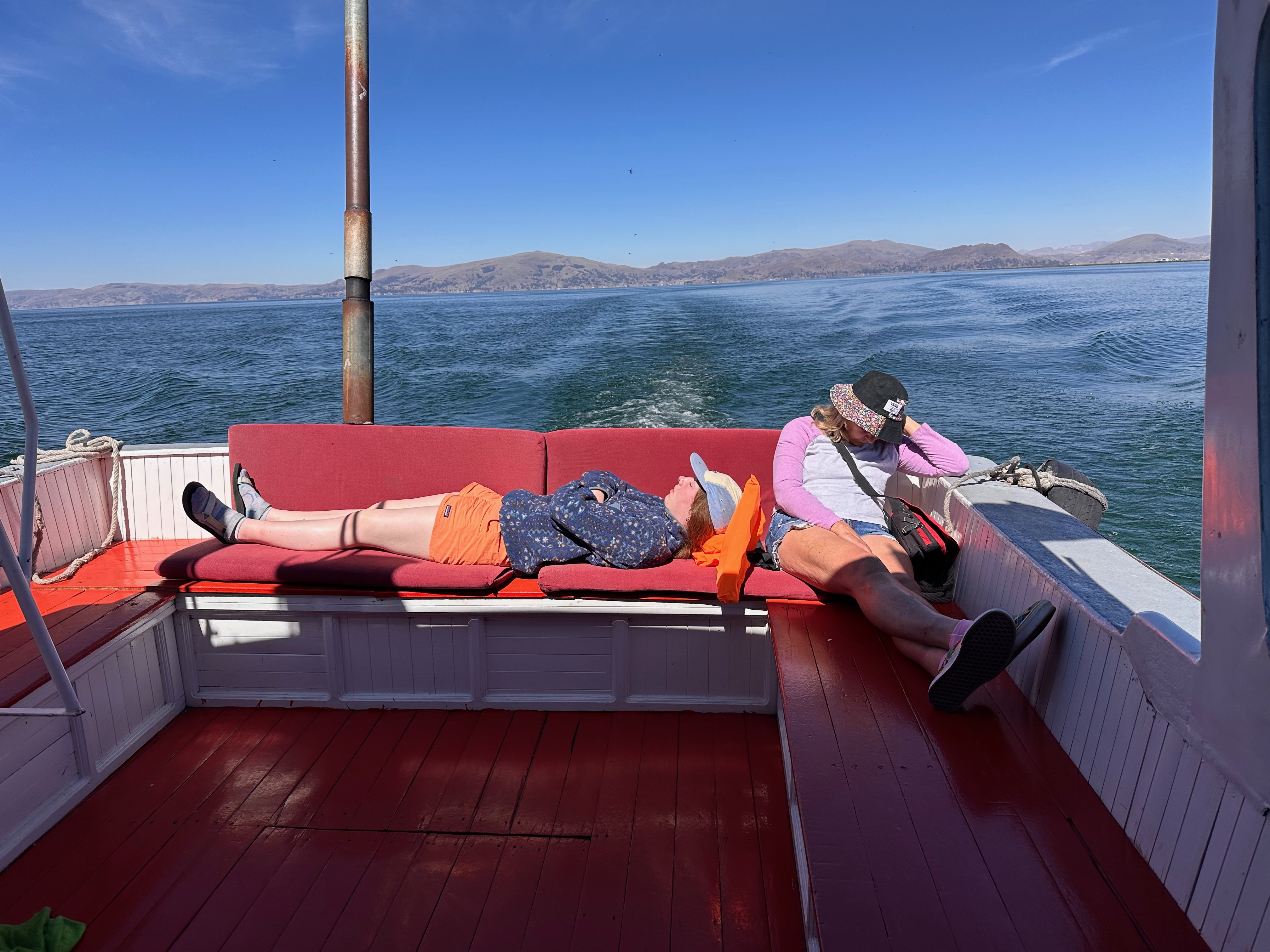
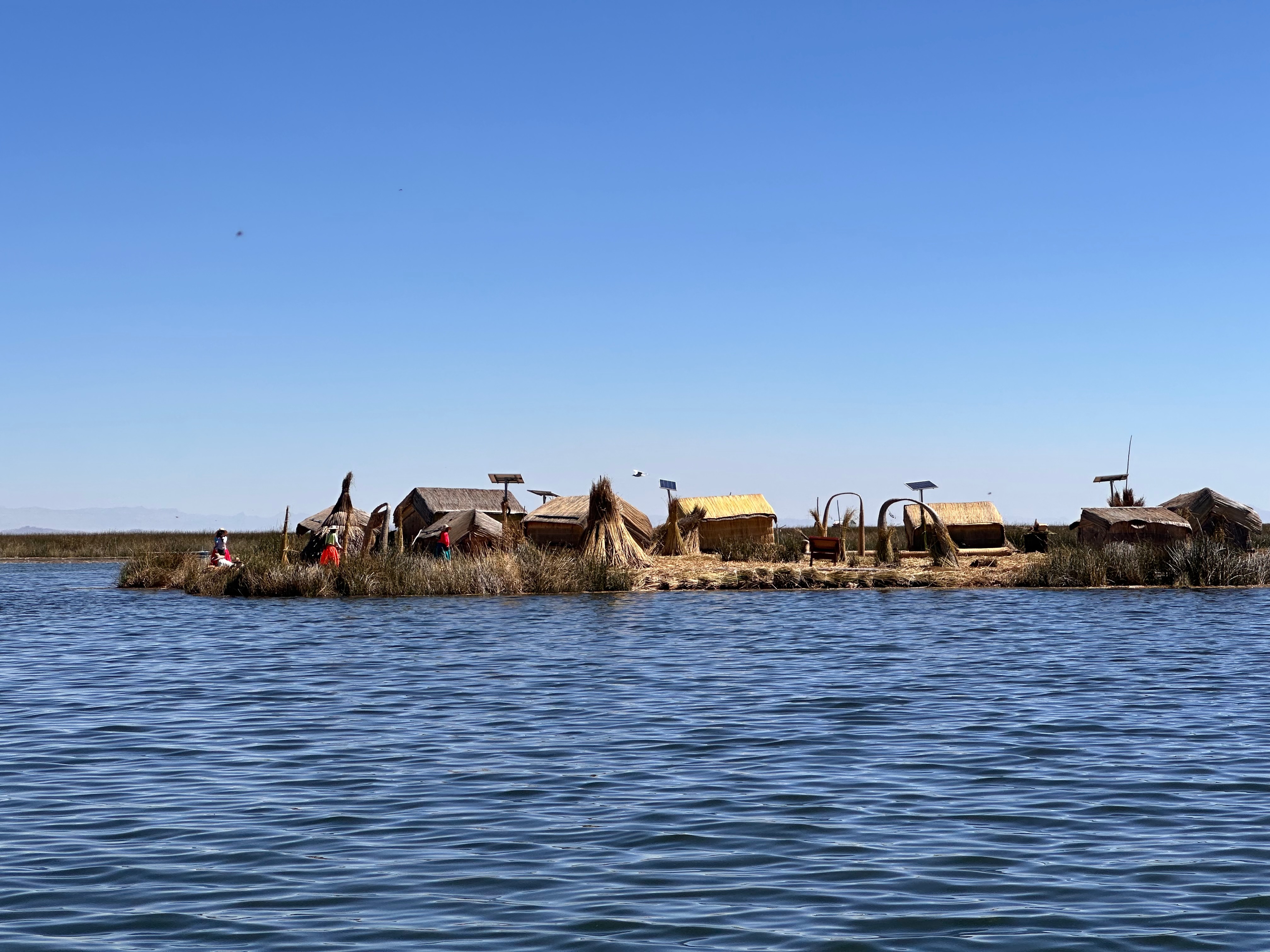
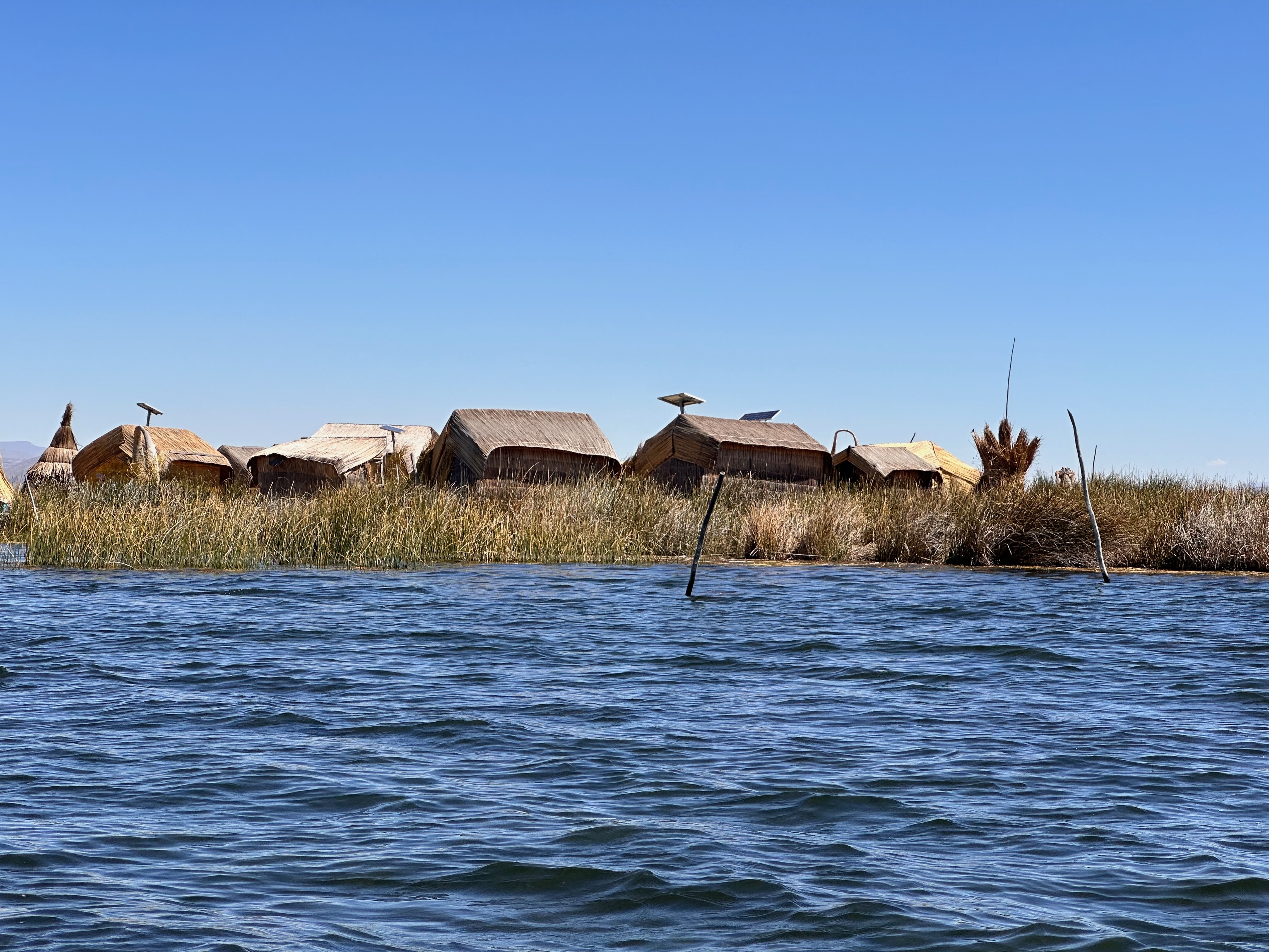
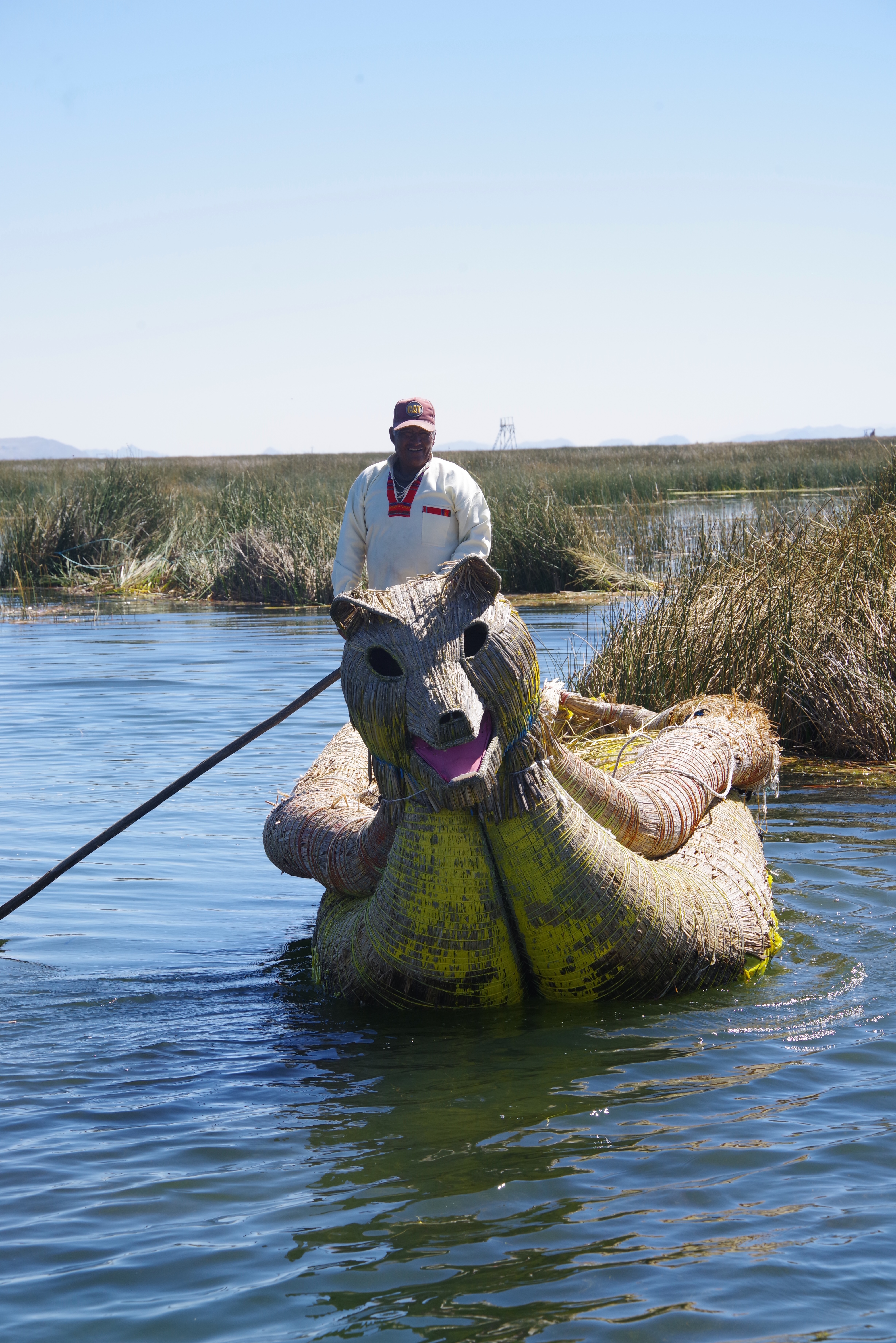
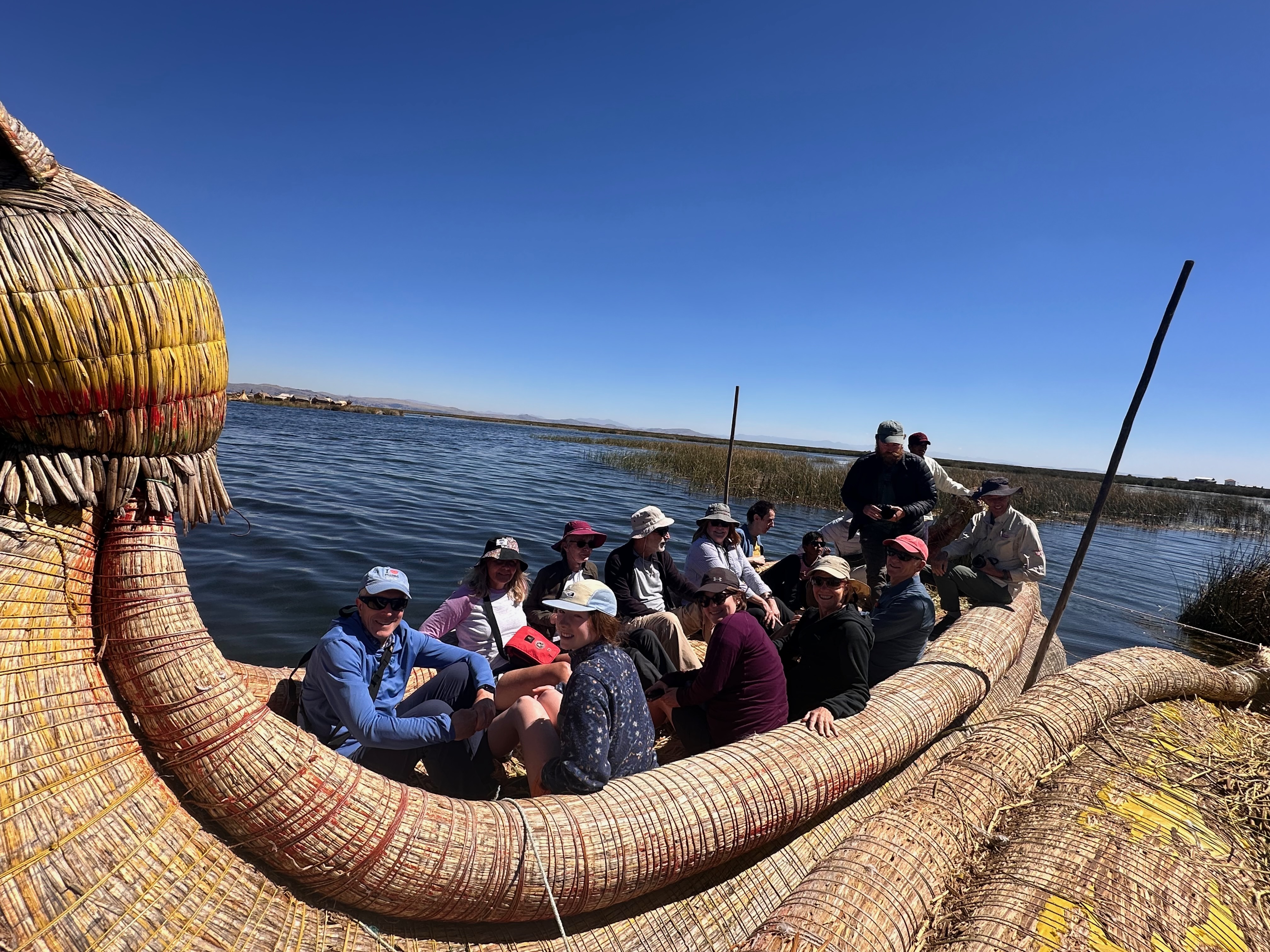
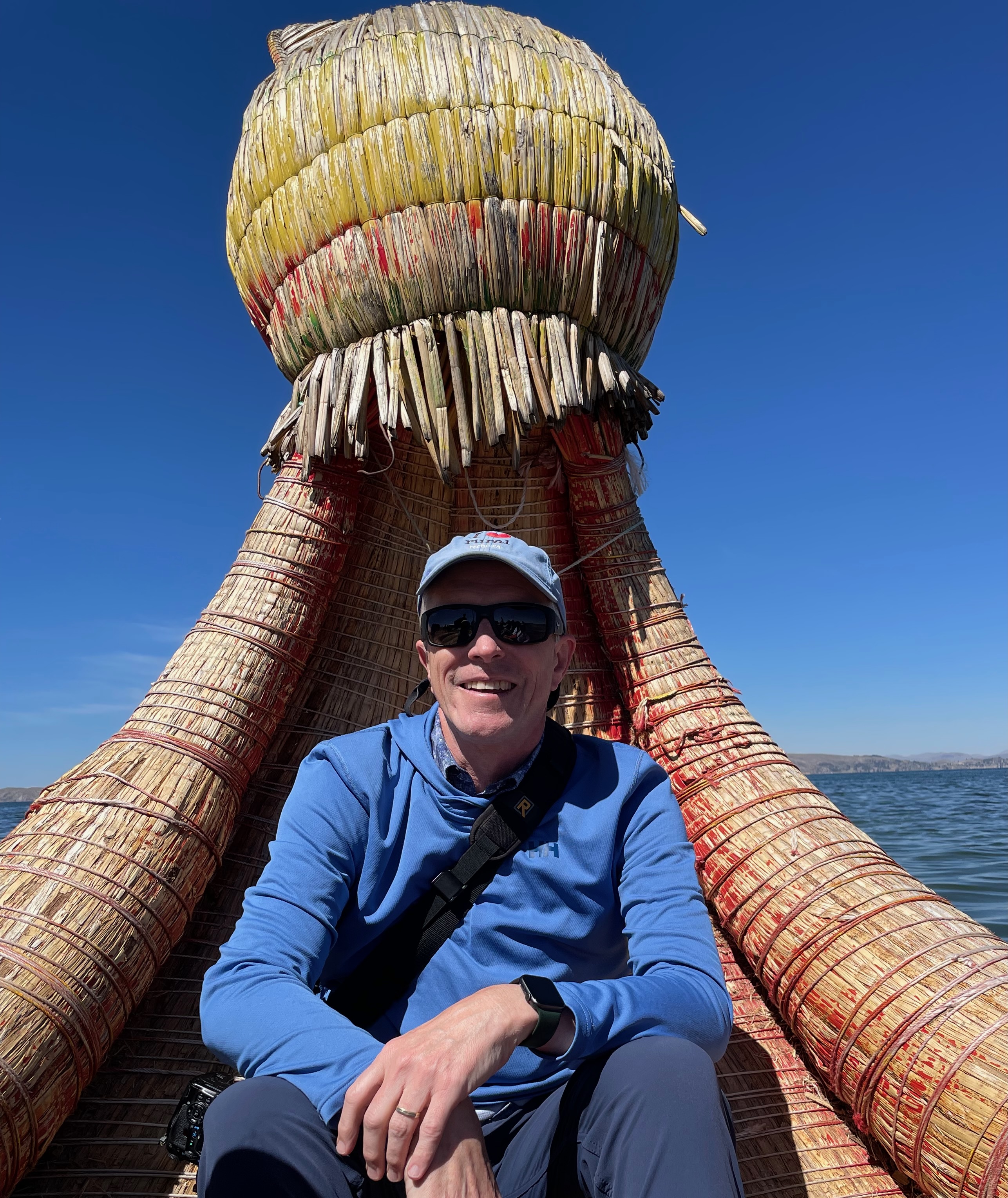
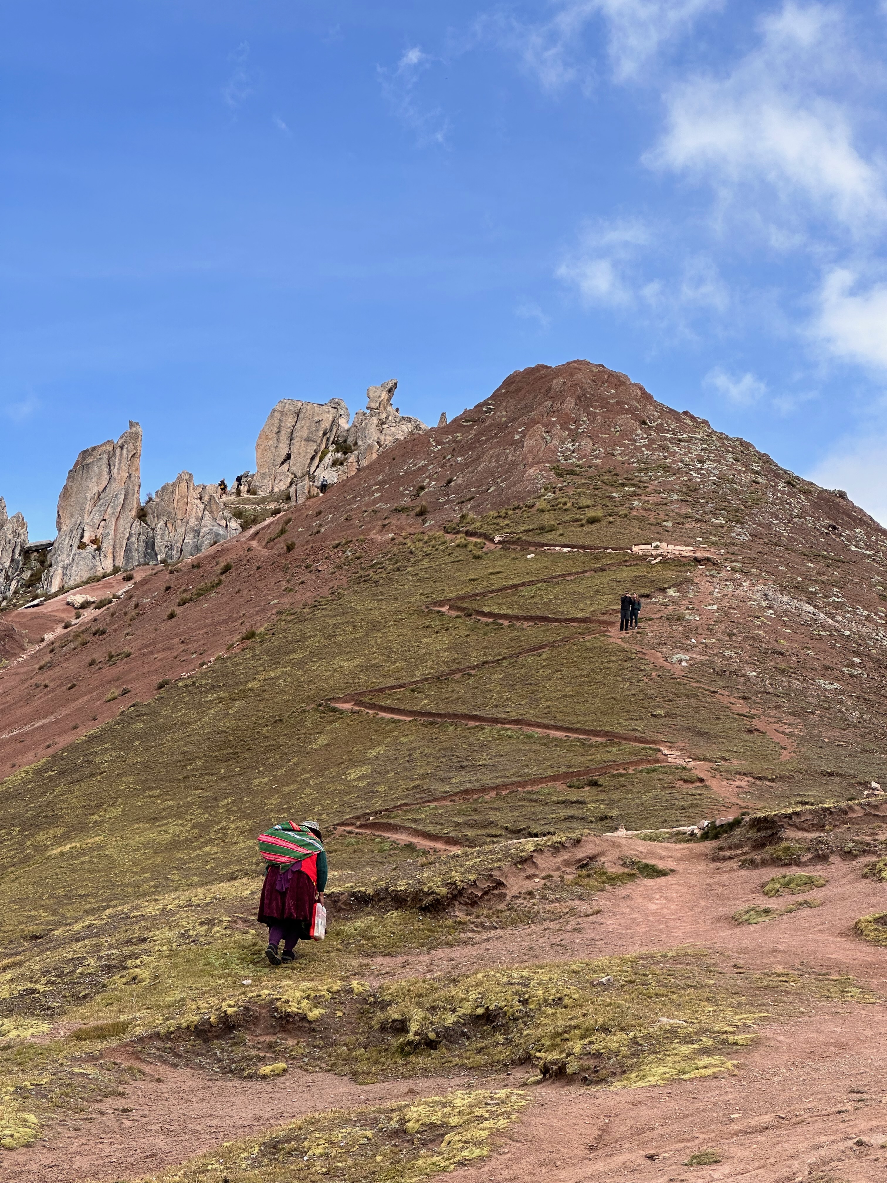
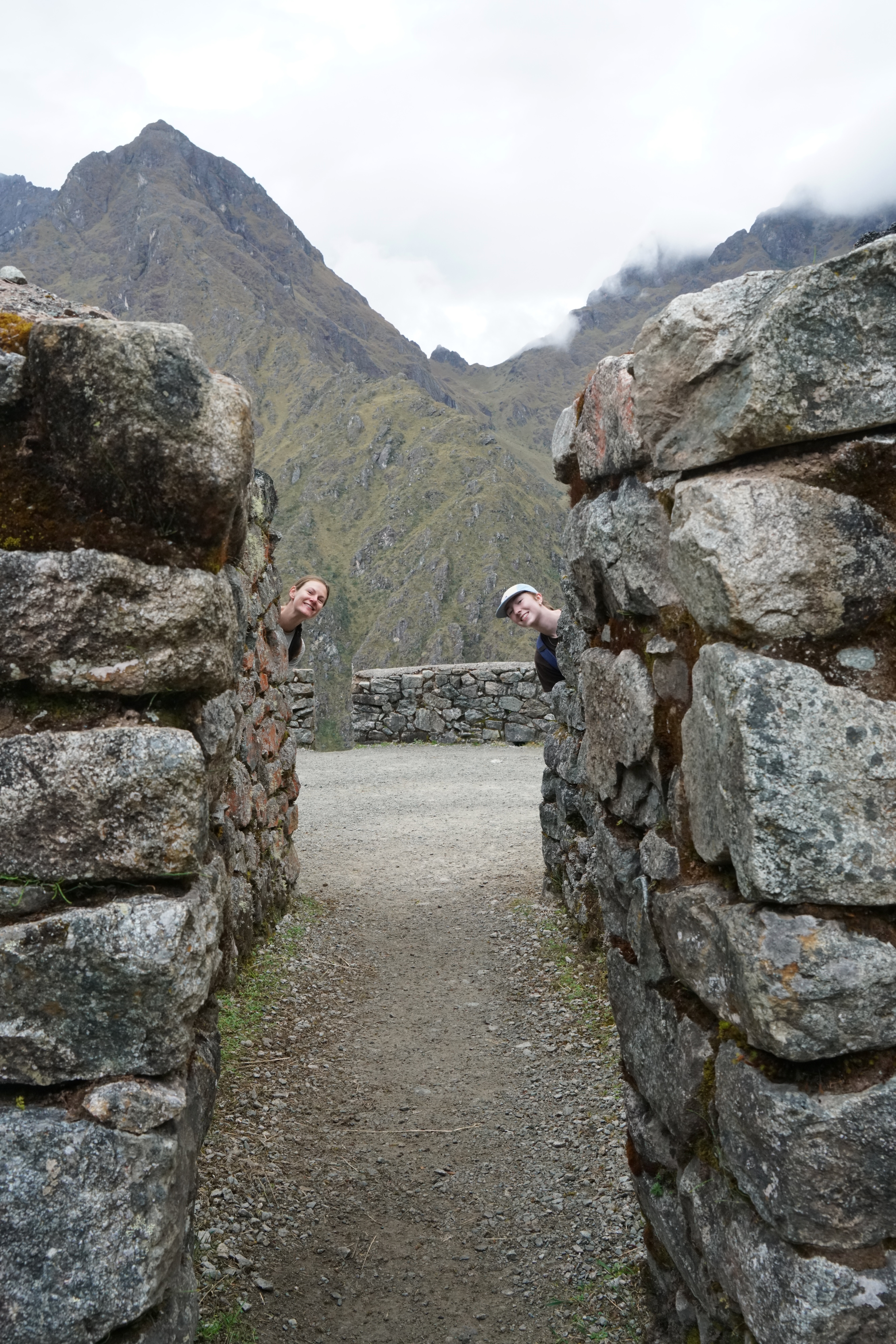
We cruised amongst the reeds, our first stop being the floating islands. I had no idea of their existence. The Puno region was an interface point between the Incas and the indigenous Uros. The Uros started building these islands as the Inca Empire expanded and have continued the tradition to this day. There are now about 120 of these constructed islands, with around 1,300 people living on them
Screenshot
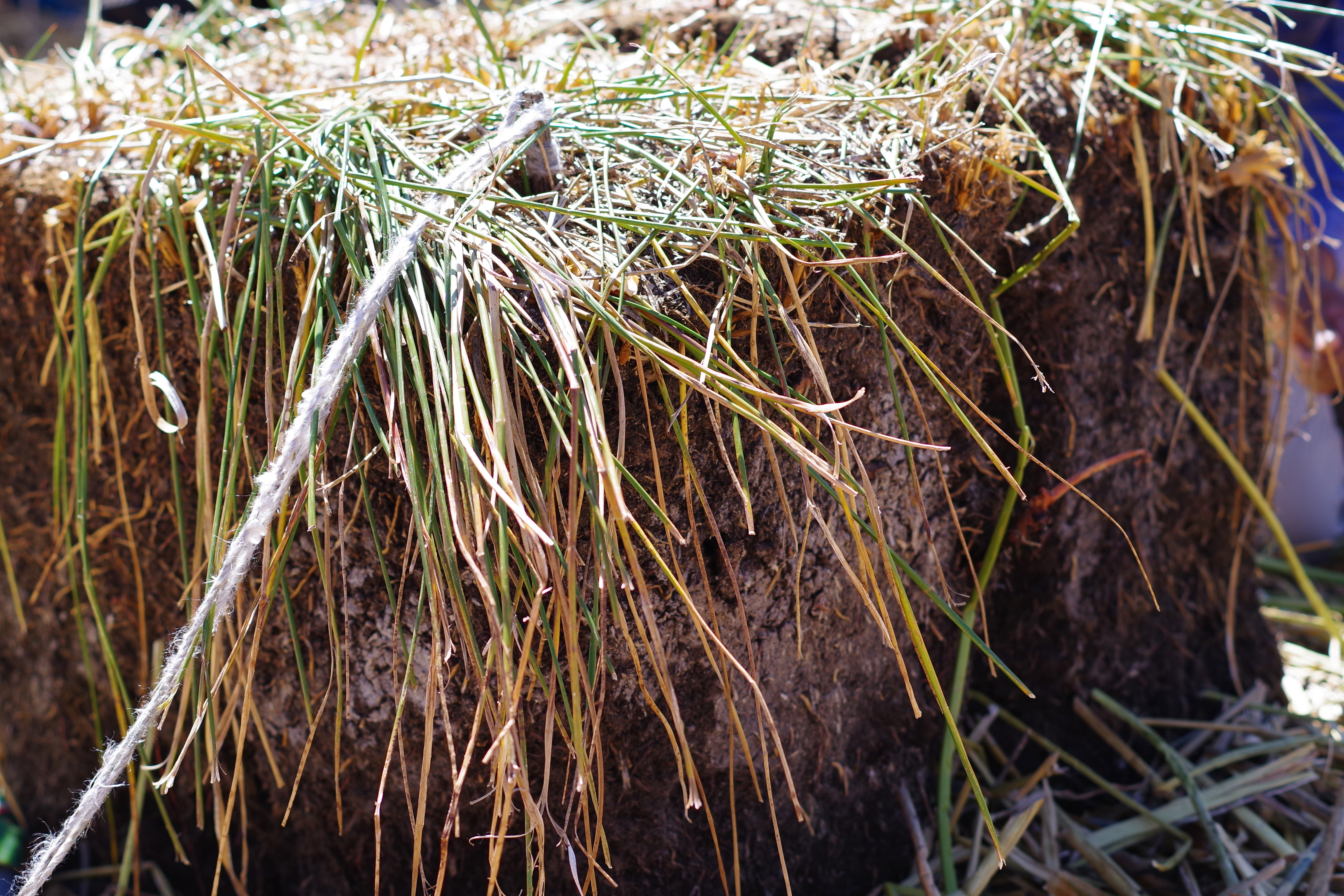
The islands are laboriously built from the totora root and reed that festoons the lake. This needs to be continuously harvested and the islands regularly maintained with fresh reeds. To make sure the islands do not drift away, eucalyptus rods are stuck into the bottom of the lake as anchors and are tied to the root blocks using rope. Every 15 to 20 days, the totora reeds rot and need to be replenished with fresh ones.
Each (small) island is home to an extended family group. The one we visited was home to about 20 people, in an area roughly half the size of a football field (15m by 15m). When I asked Thea how long she thought our family would last on such an island she opined, “Oh I think someone would be in the water within the hour”
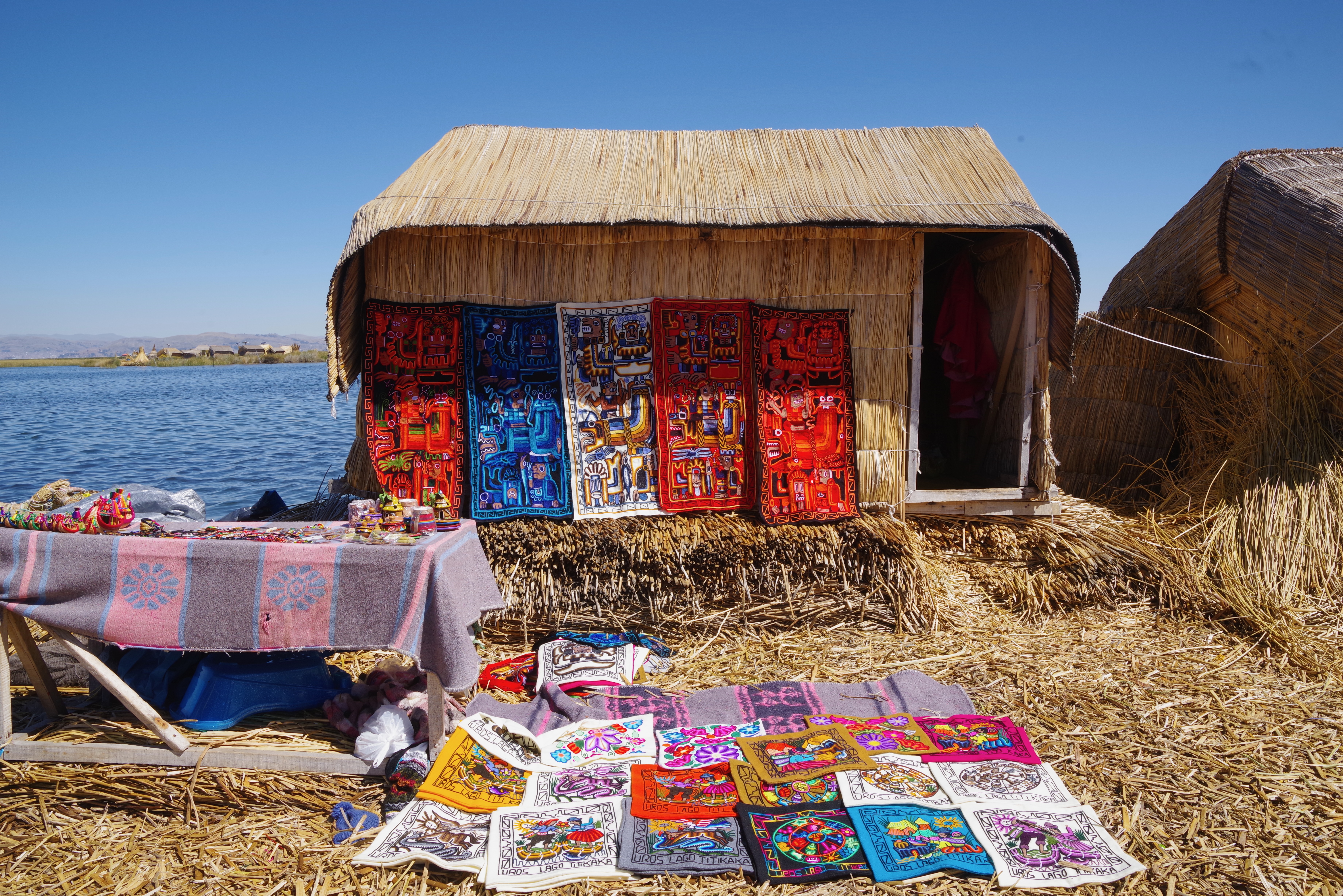
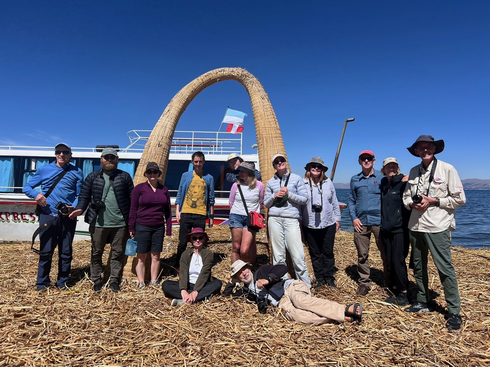
On the island we were given demonstrations of how the islands were made, the local crafts and weaving of the community, and a ride on one of the totora reed boats that are used to harvest the reeds (and to trade at the market in Puno).
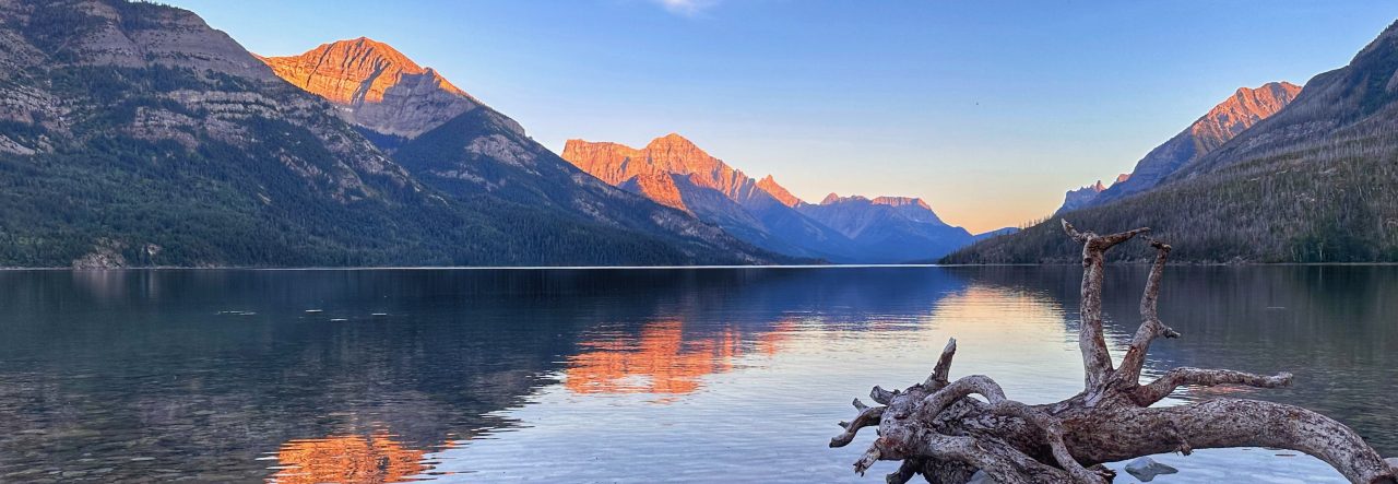
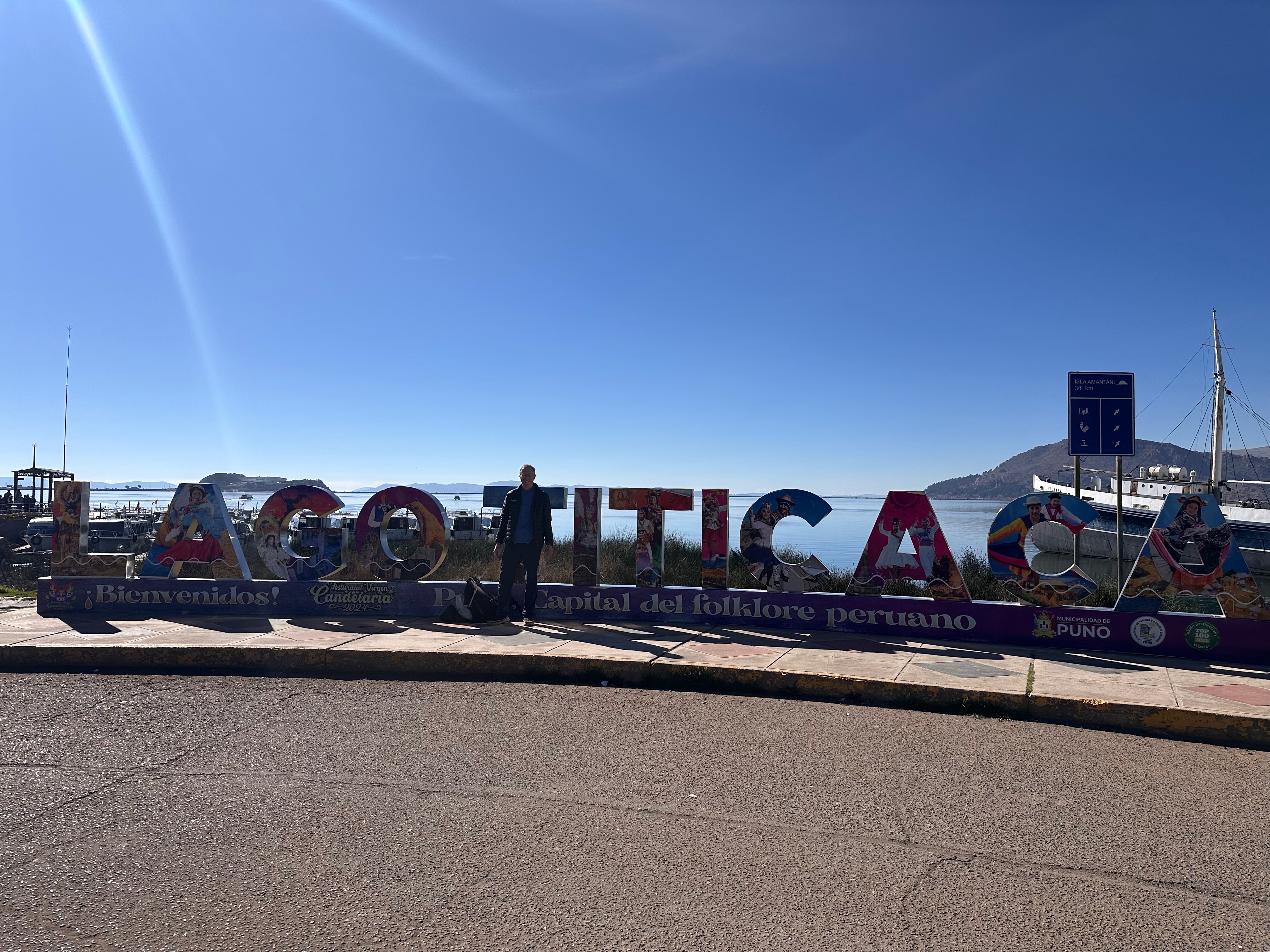
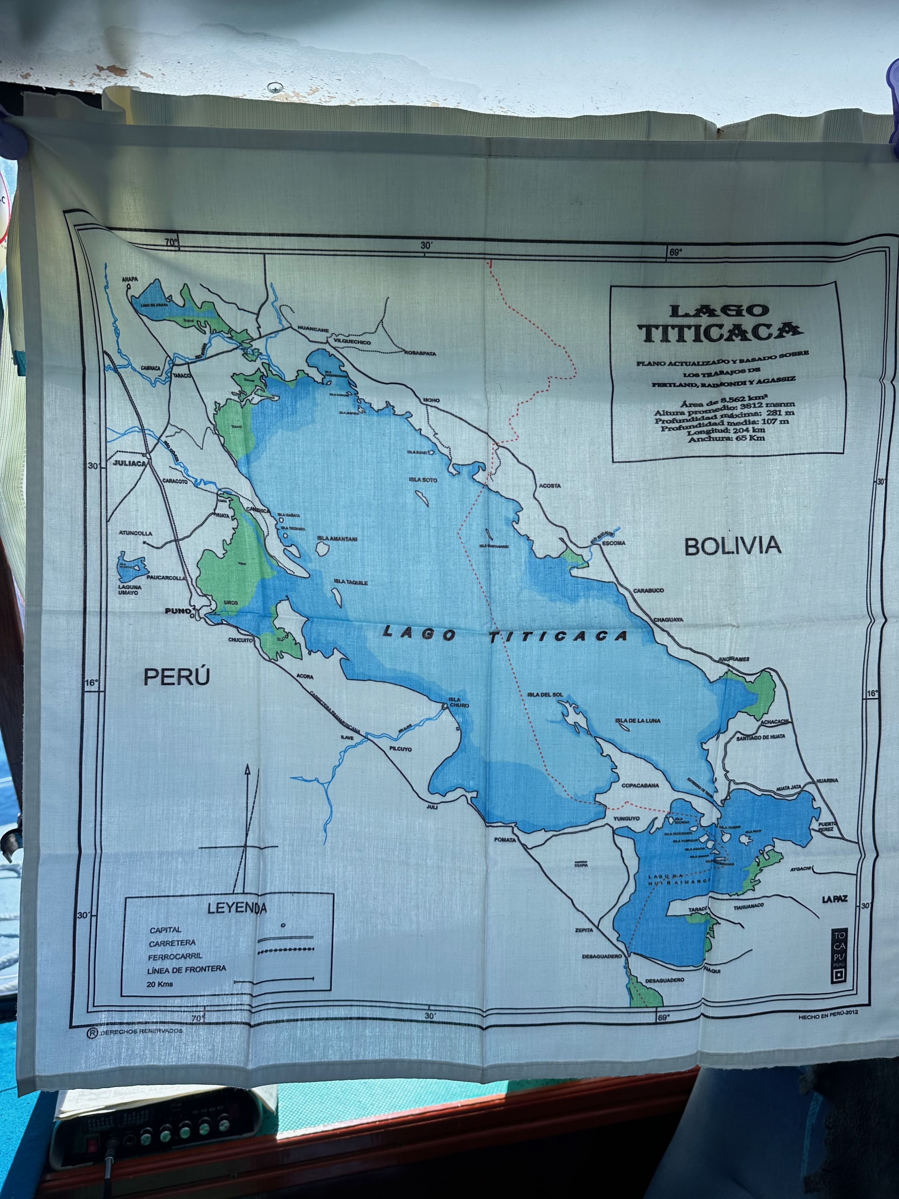
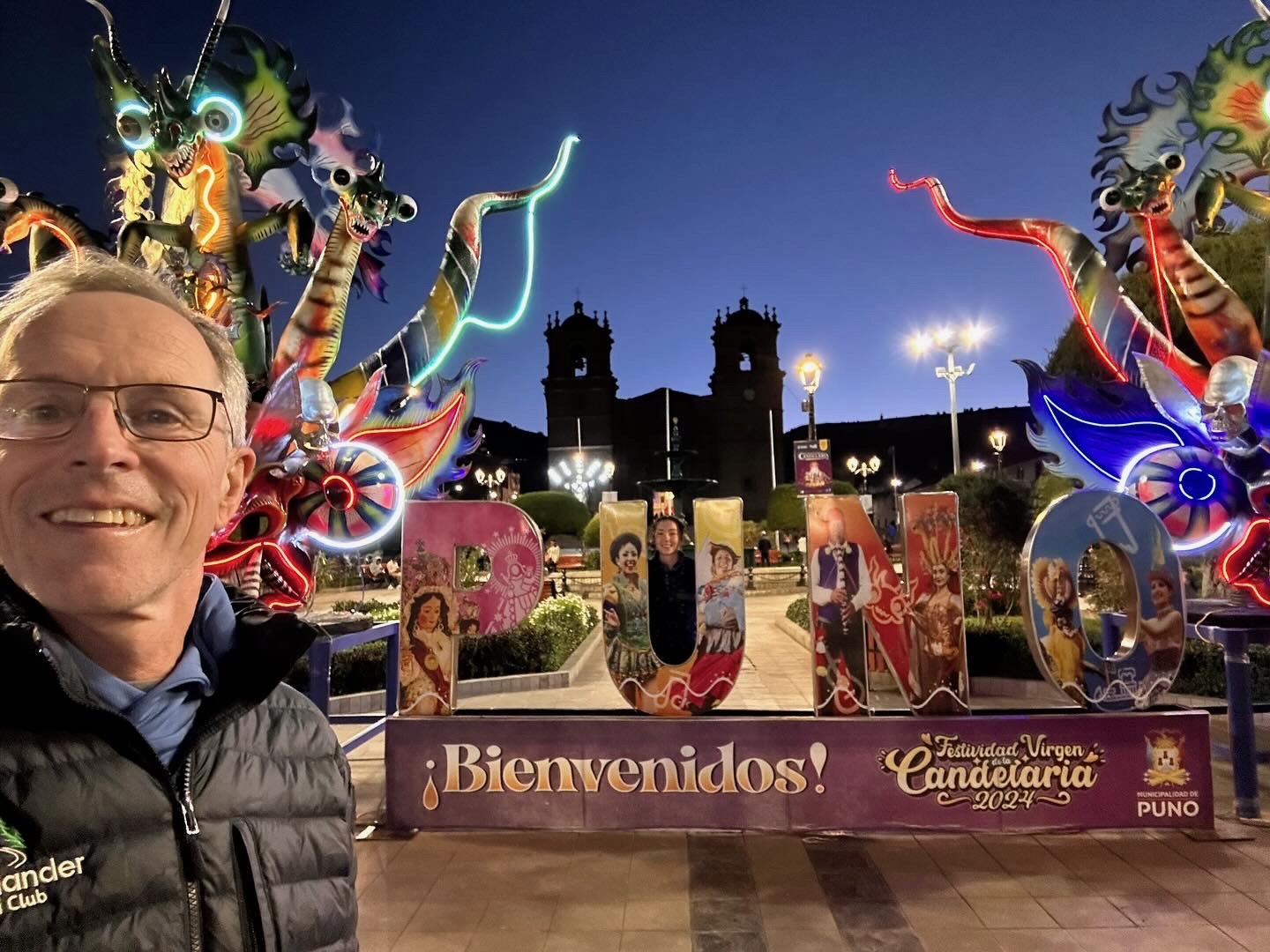
I’m not sure why nor when it arose but I’ve always had this fascination with Lake Titicaca, the “highest navigable lake in the world”. So when researching doing the Inca Trail..well Intrepid must have seen me coming when this particular tour included Lake Titicaca.
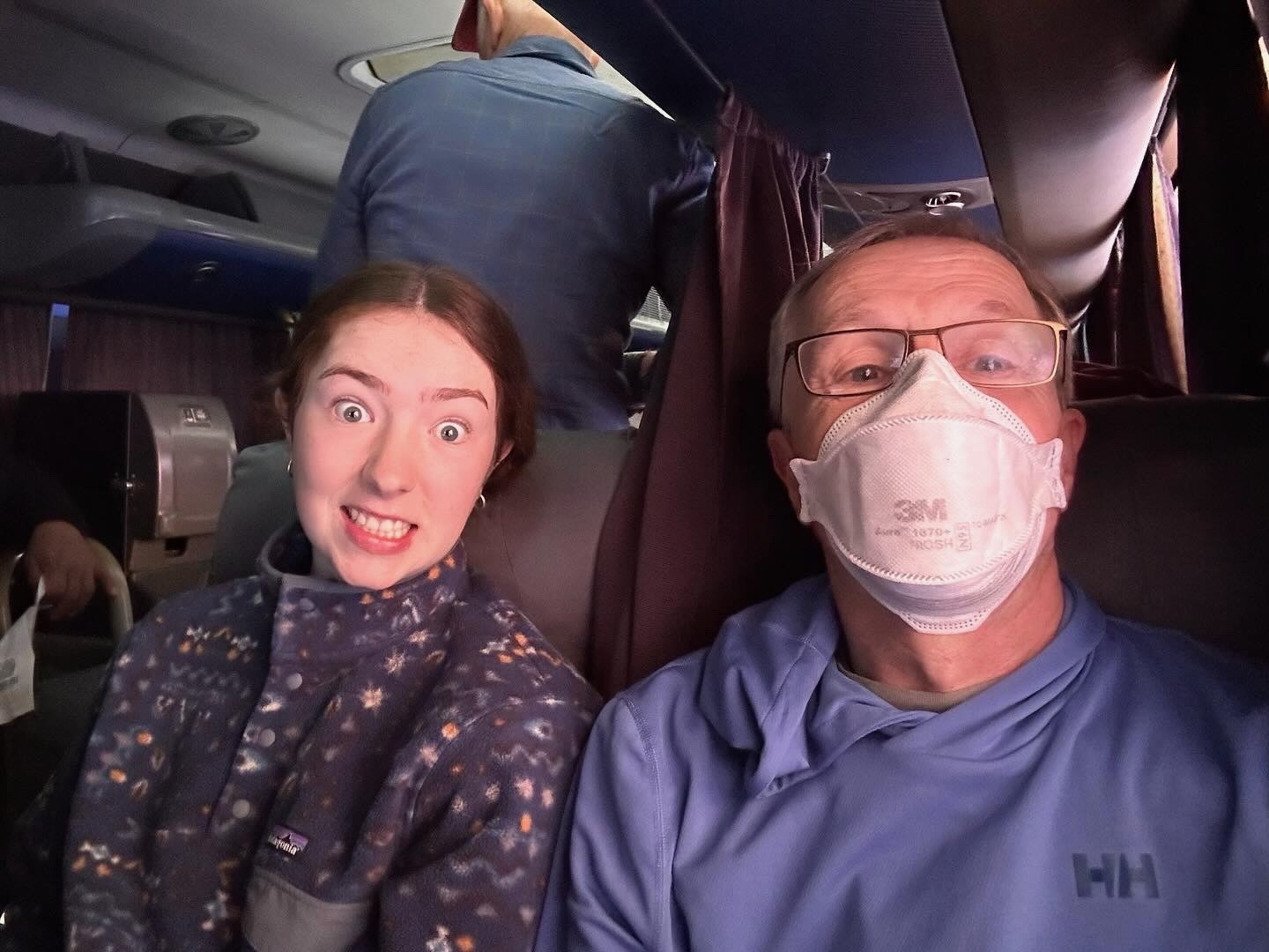
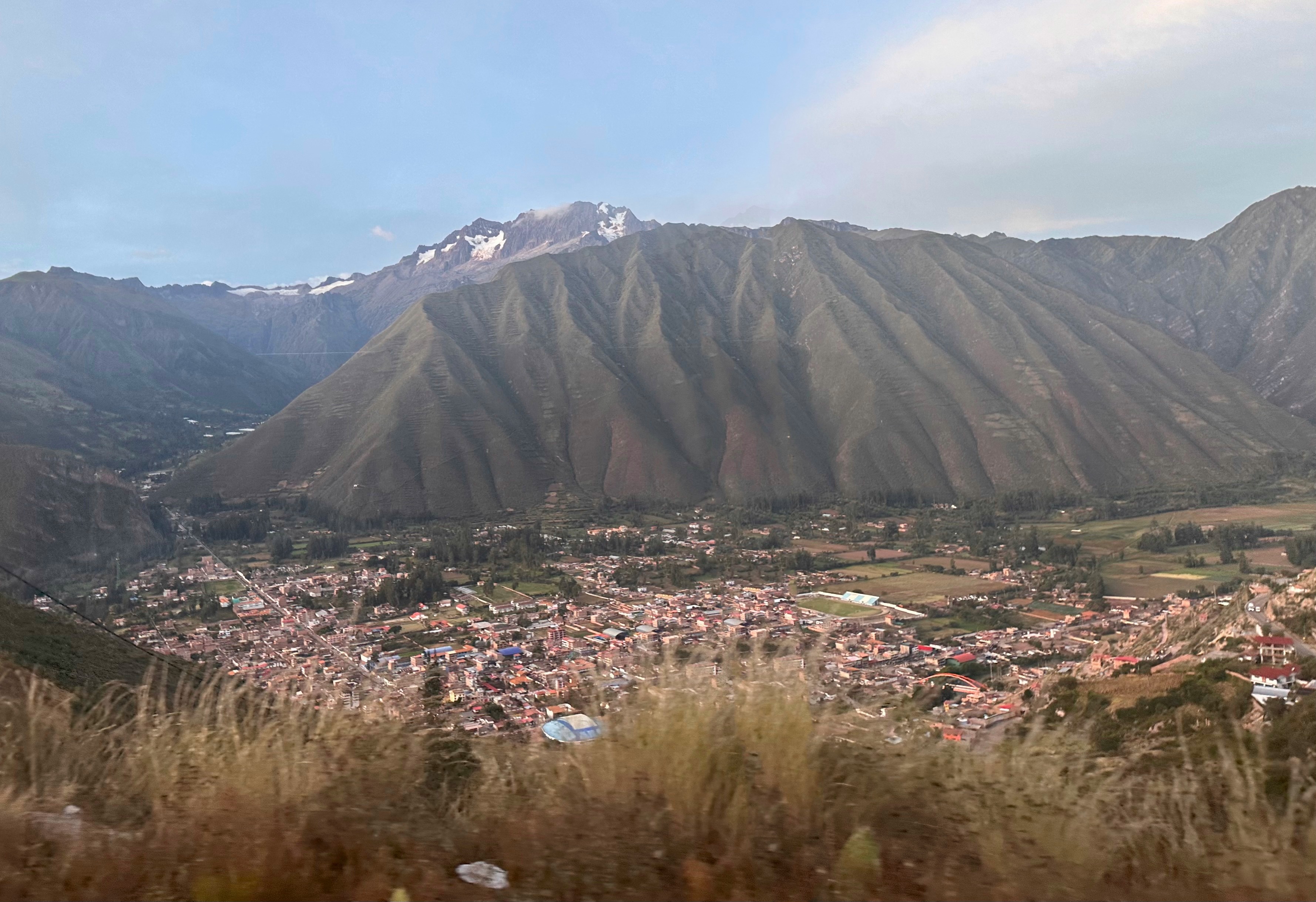
Today was essentially a travel day from Cusco to Puno, in a very swanky regional bus.
But first a visit to Jack’s for another Australian coffee!
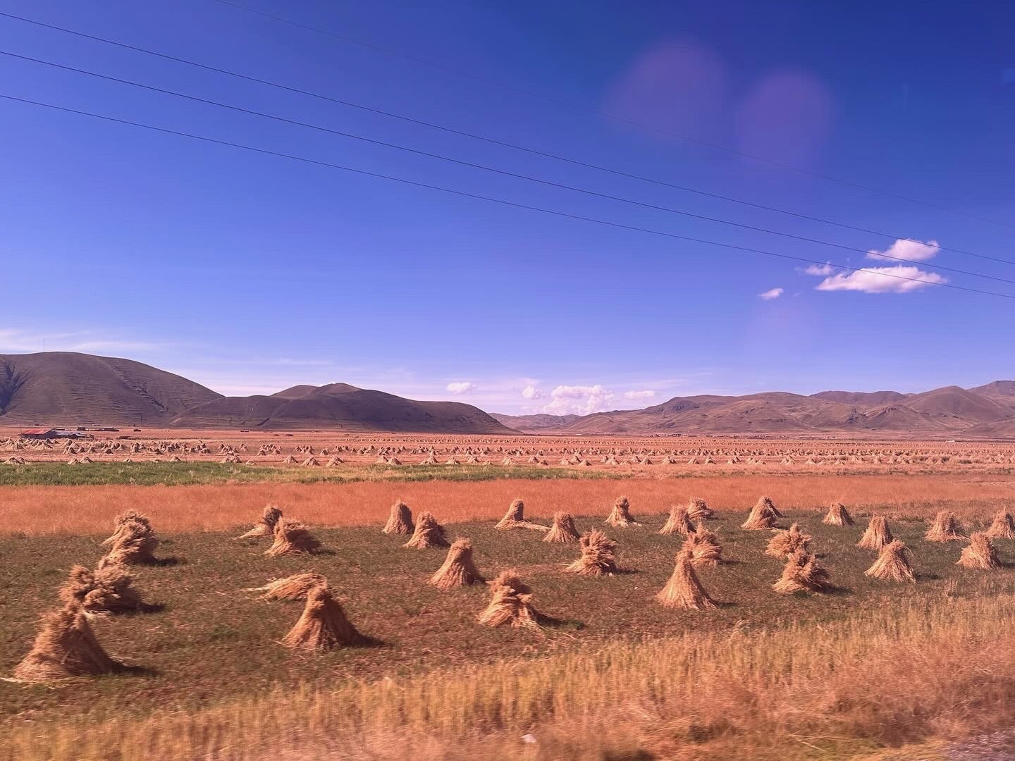
Today’s journey was across the Andean altiplano which I’ve just learned is the most extensive high plateau on earth outside Tibet! It starts up at our destination of Puno and extends down into Bolivia.
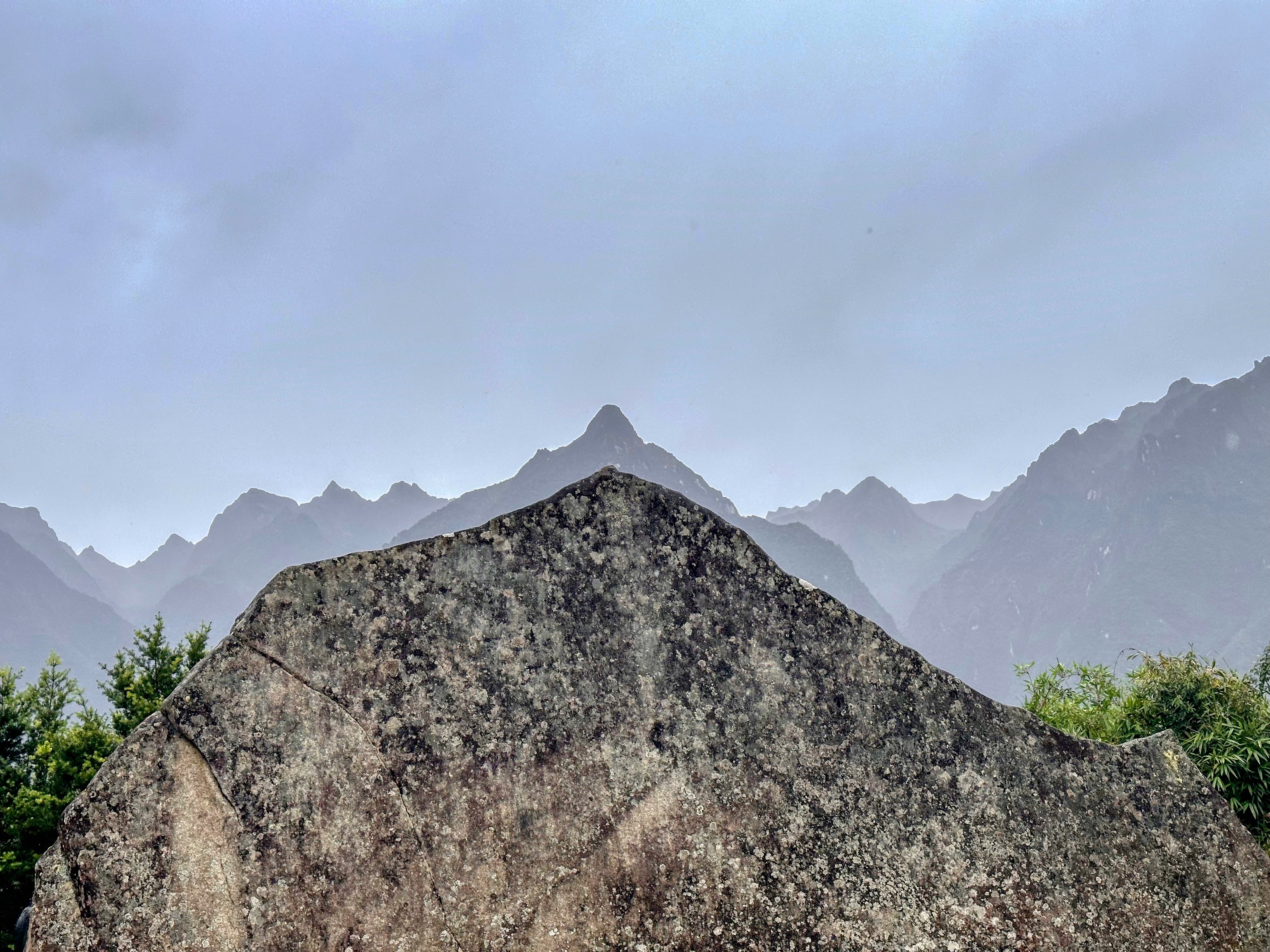
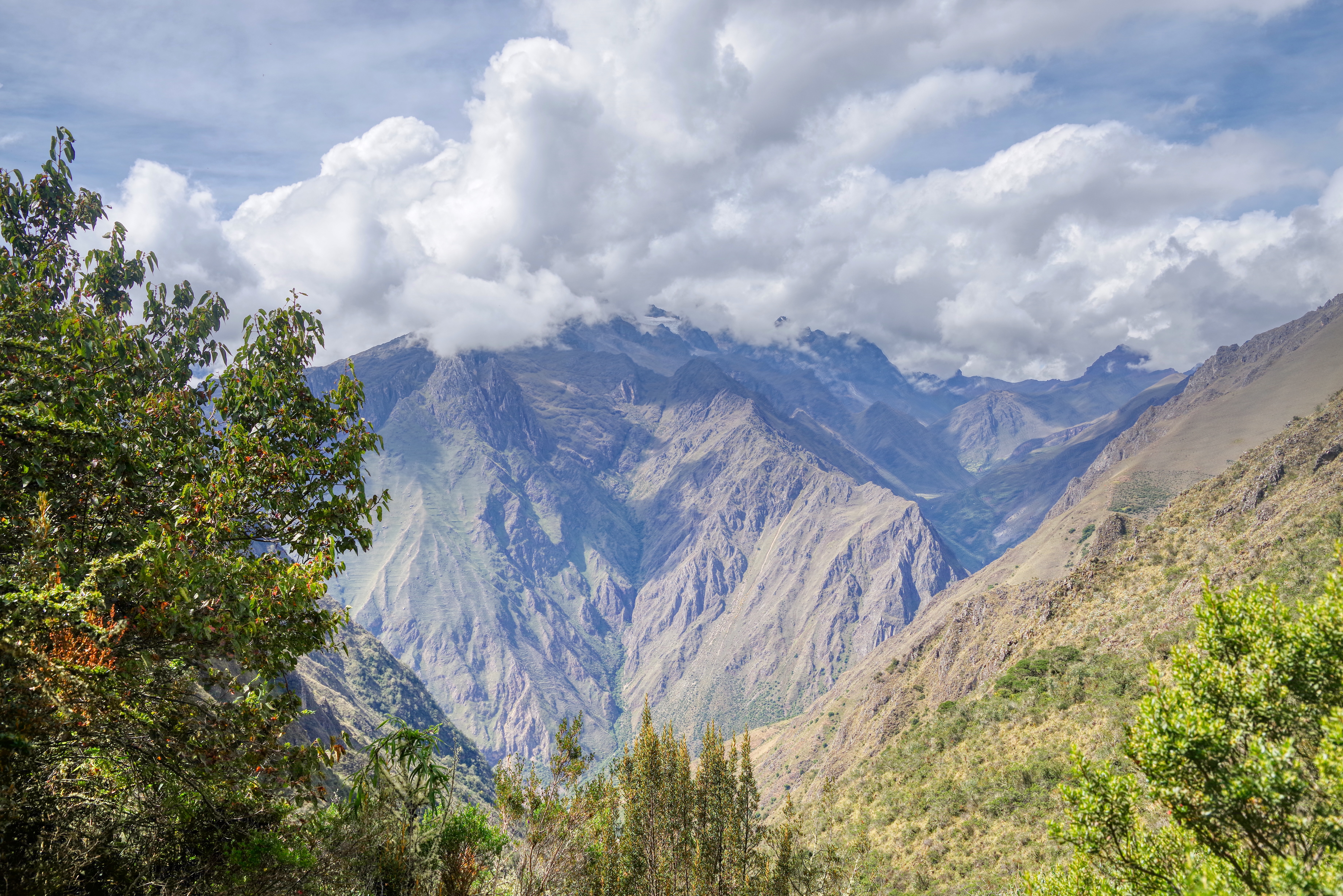
The terrain was stark and beautiful: the arid plains rimmed by snow tipped mountains.
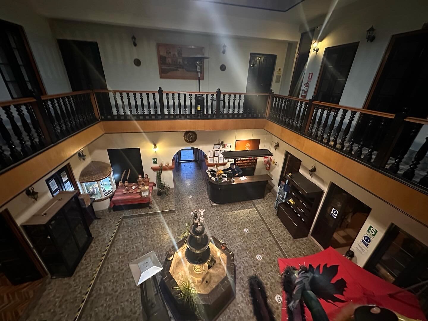
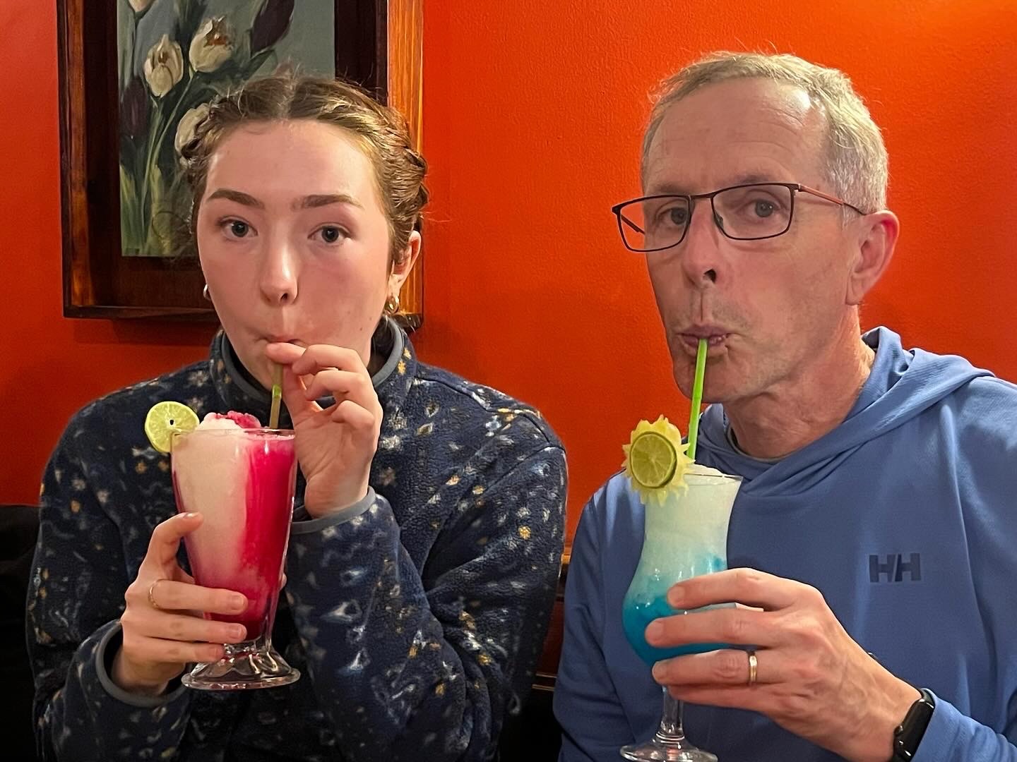
We descended down into Puno on the shores of Lake Titicaca, deposited our bags then headed out for a Mother’s Day dinner to celebrate the mothers on our trip.
On the way back to the hotel we were treated to the wonderful entertainment of a local community outdoor “line dance” in the square. The guys rocked it.
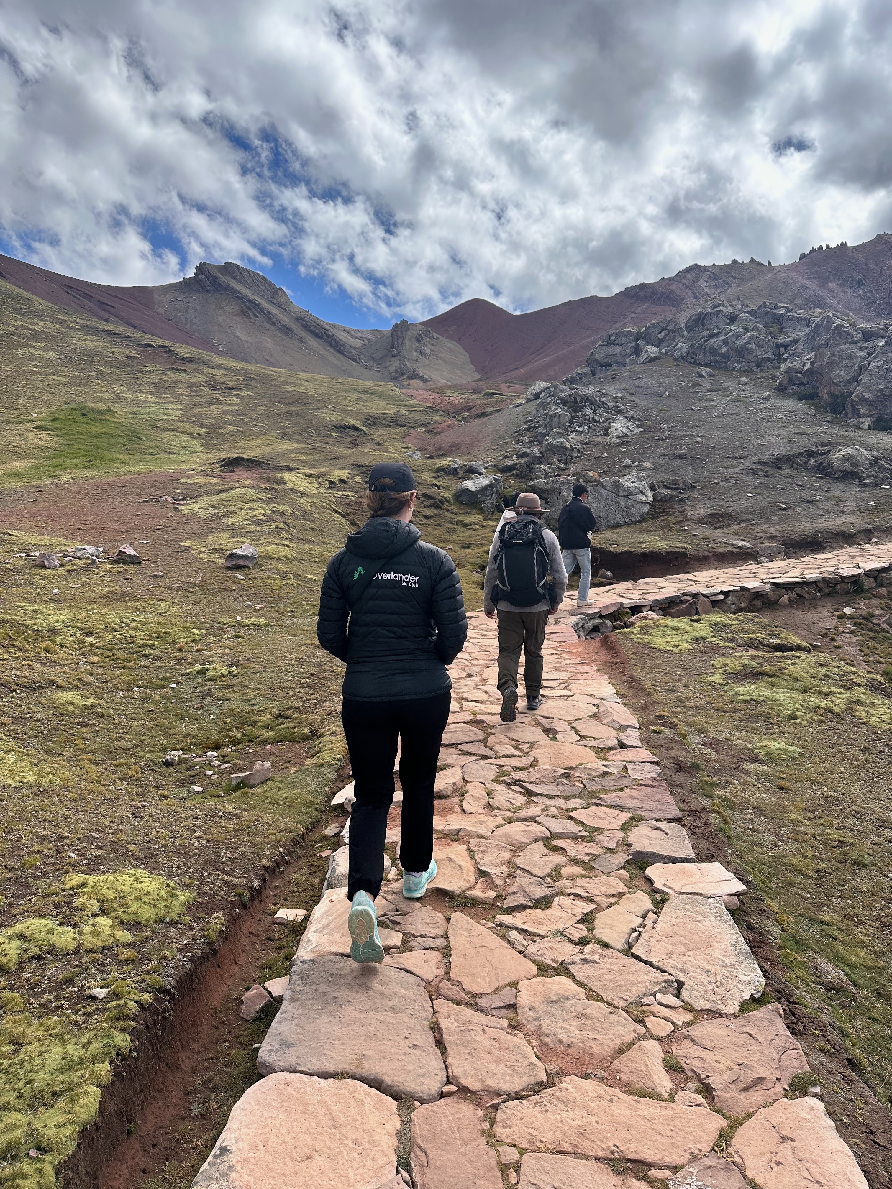
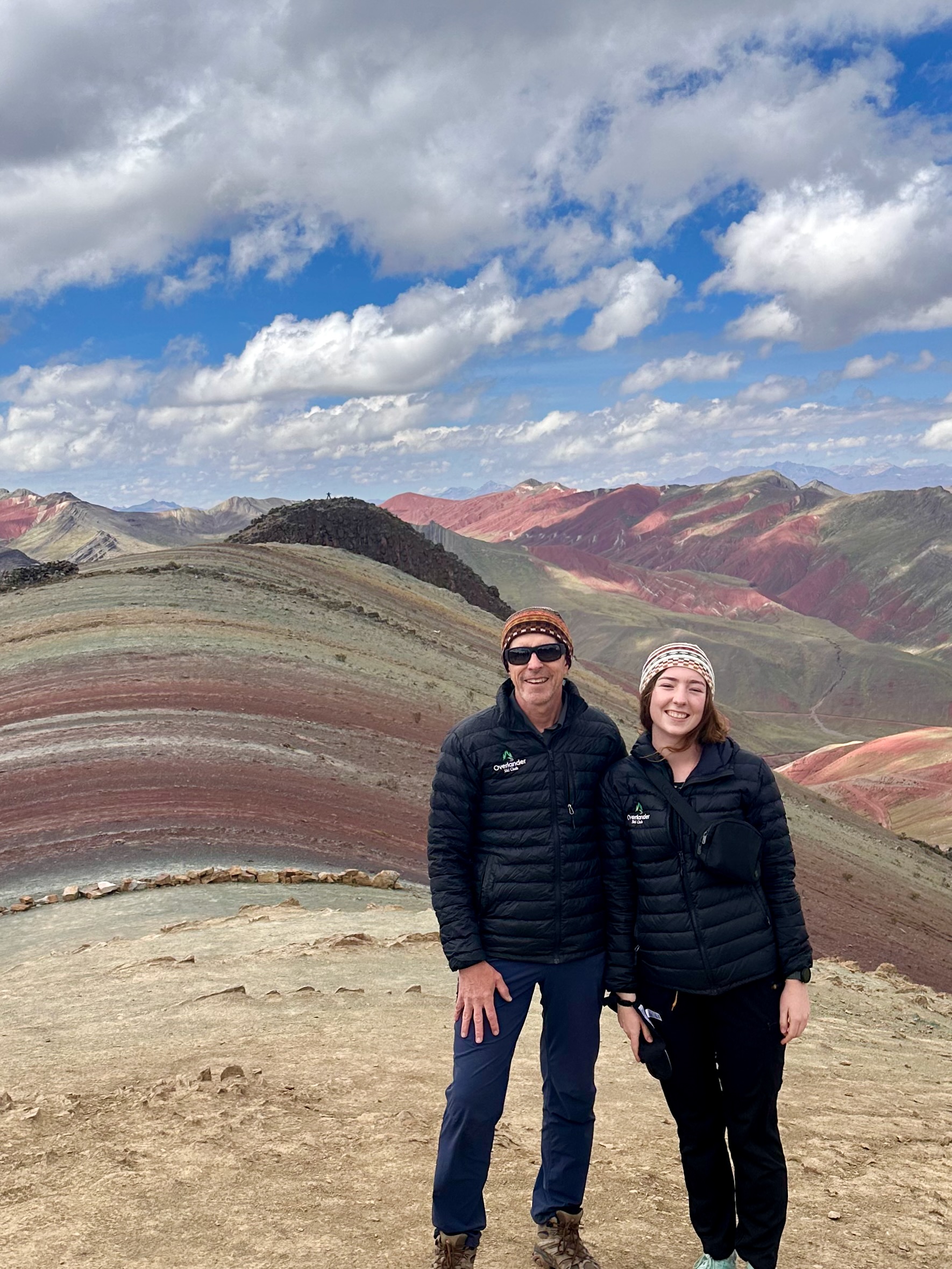
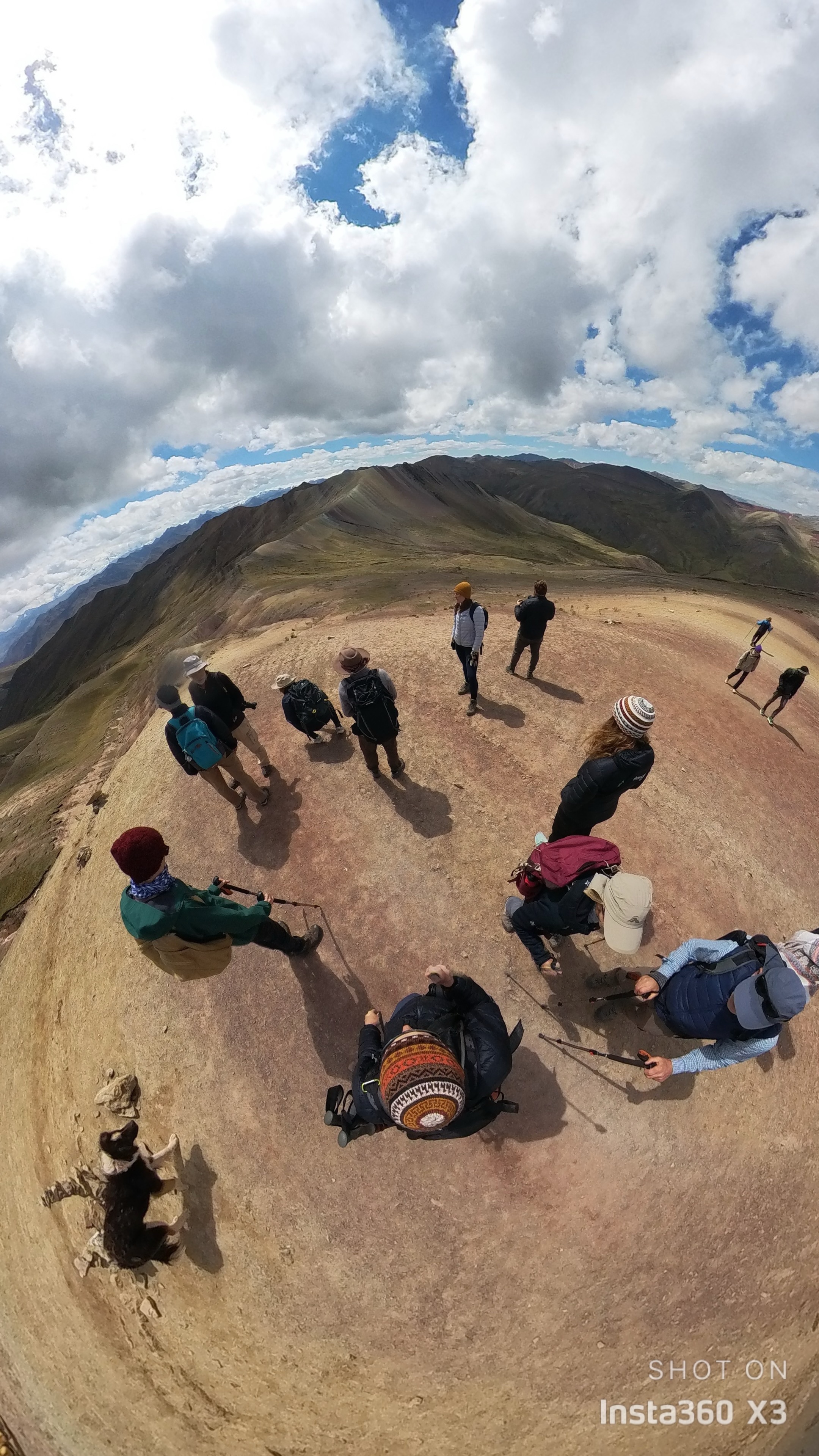
During preparations for this trip Anthea expressed her interest in also going to Rainbow Mountain. This was offered as an add on activity on the “rest” day after returning from Machu Picchu. The tour required a minimum of four people and so Anthea went to work on the group quite early on the tour. In the end nine of the group chose (were convinced?) to go.
However I think we all shared a moment of doubt when the departure time was to be 5 am. We negotiated it back to 530.
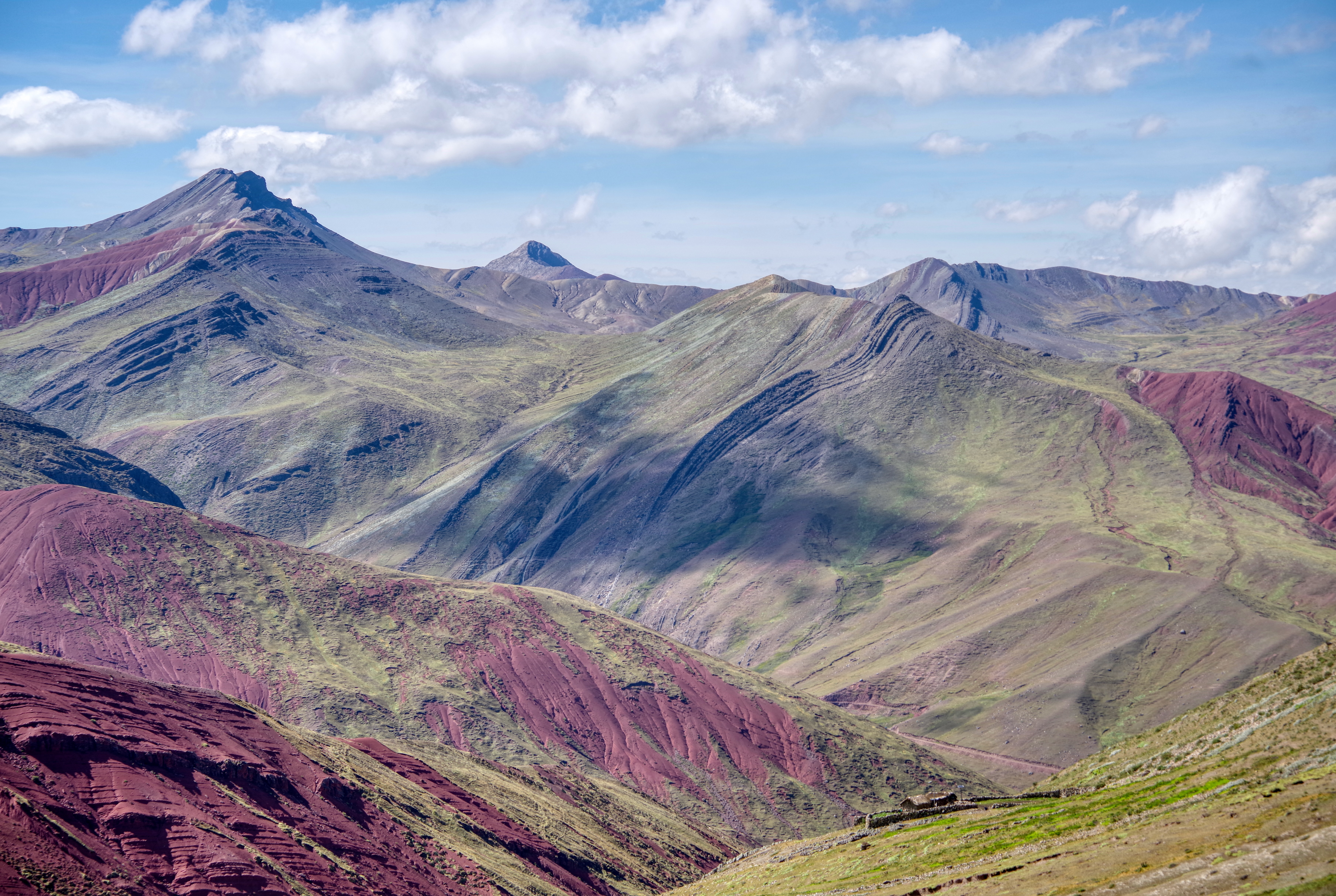
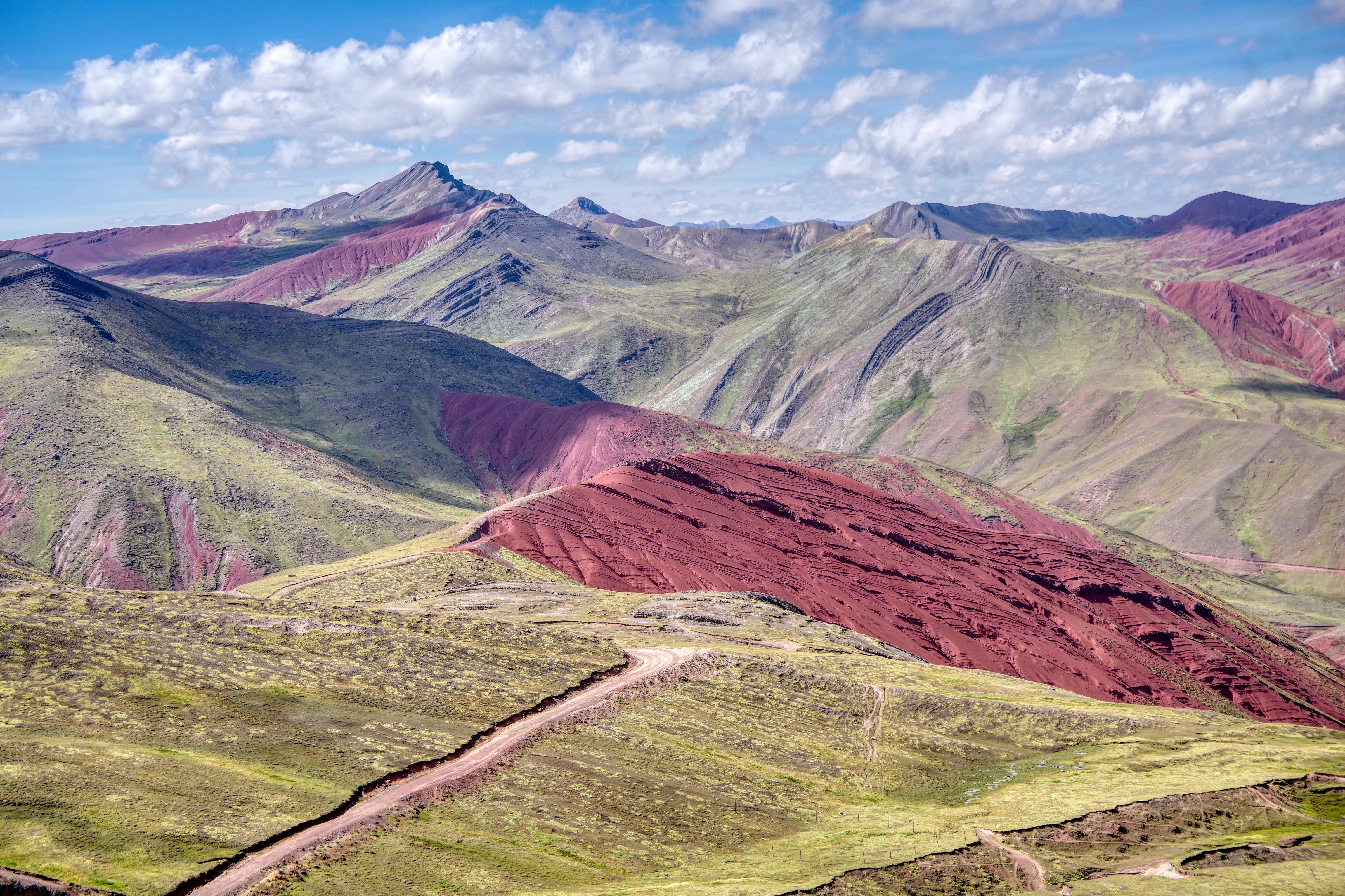
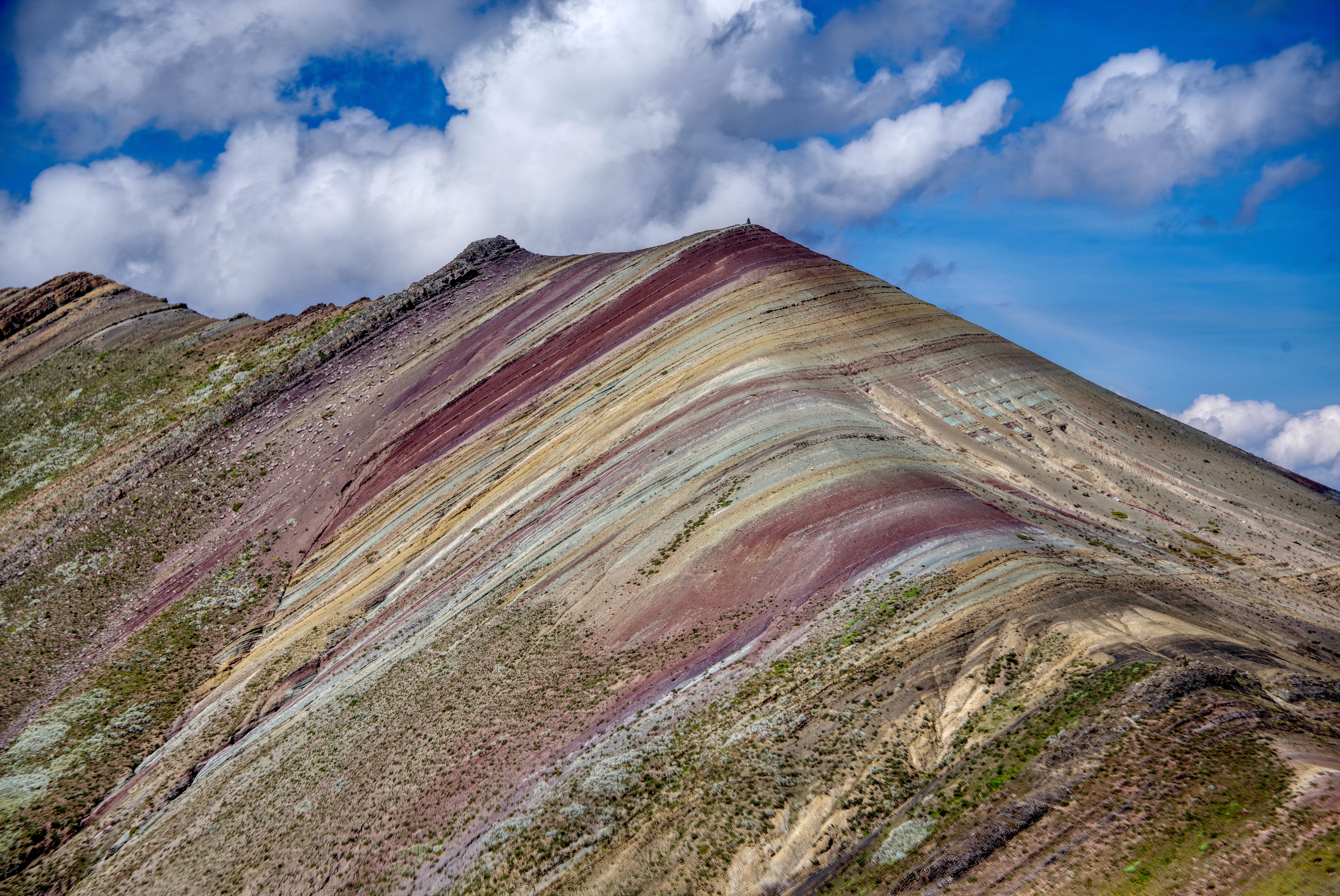
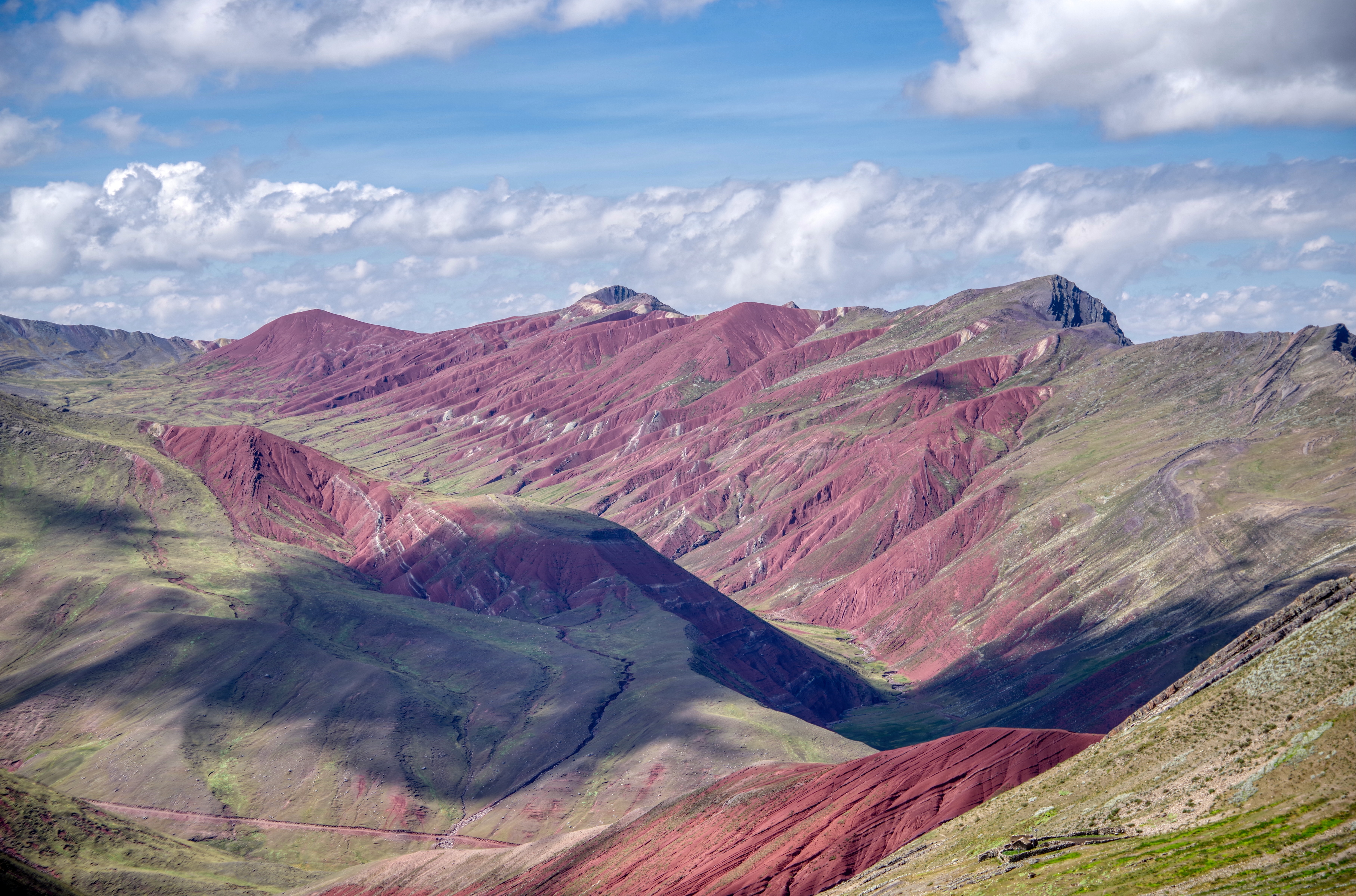
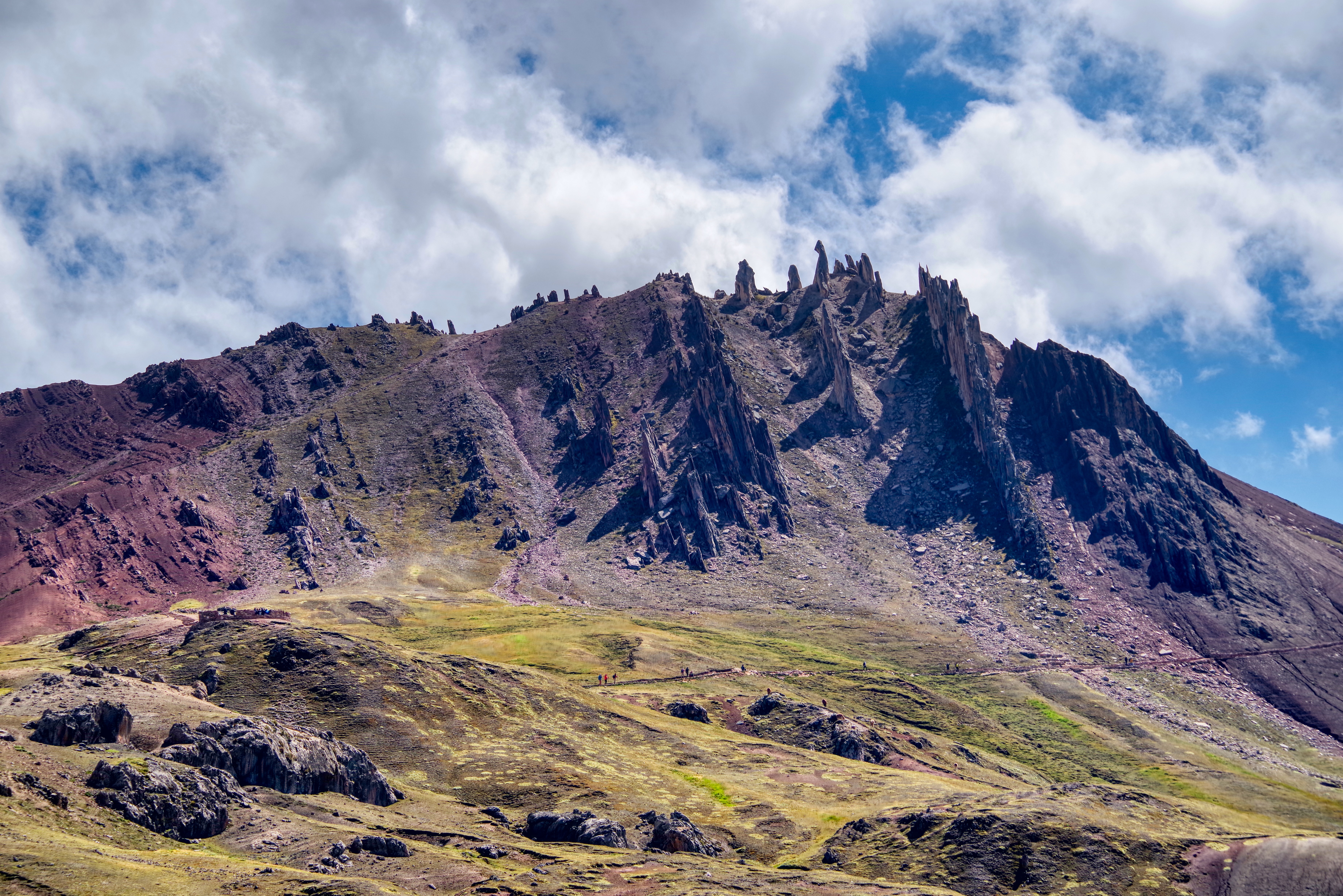
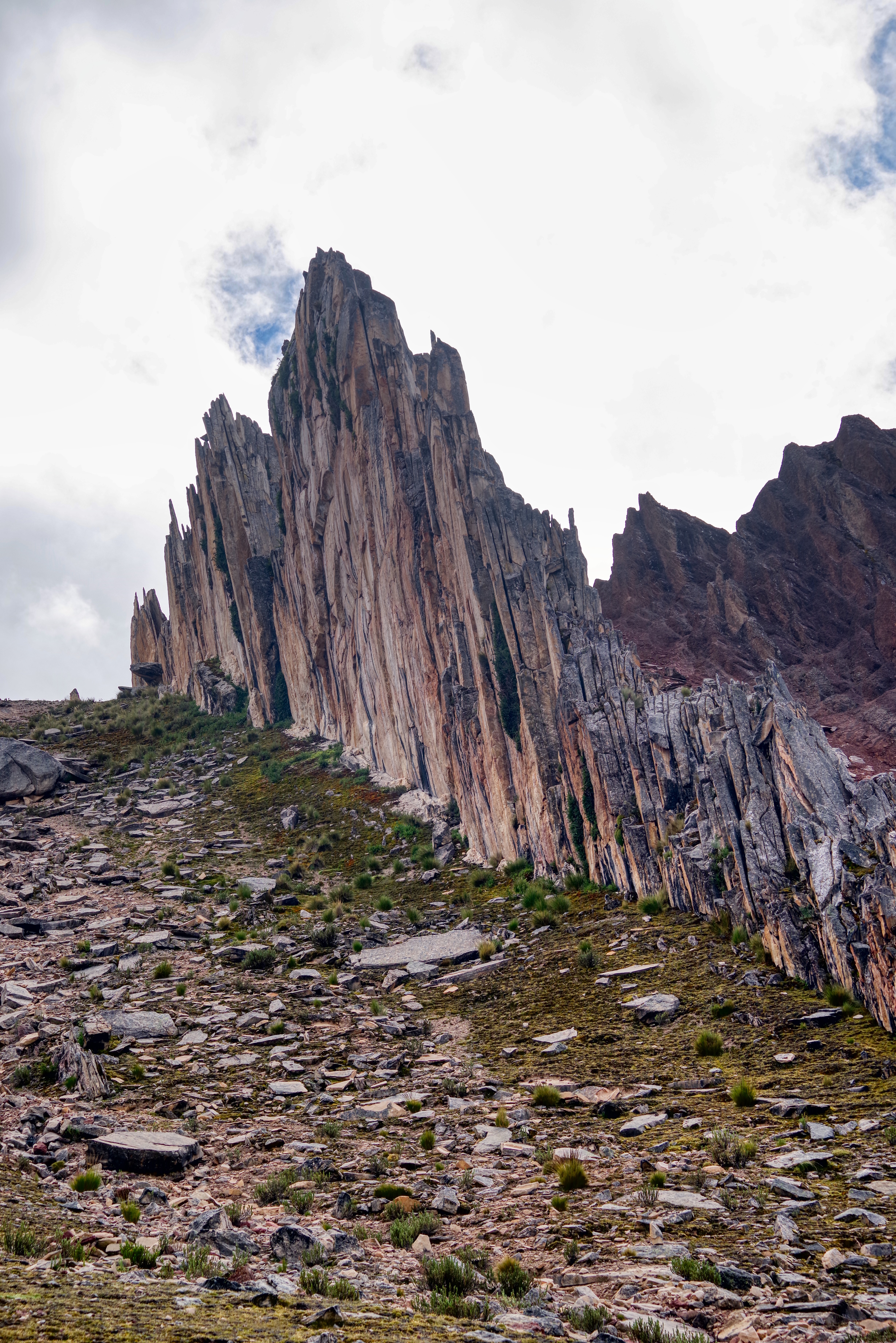
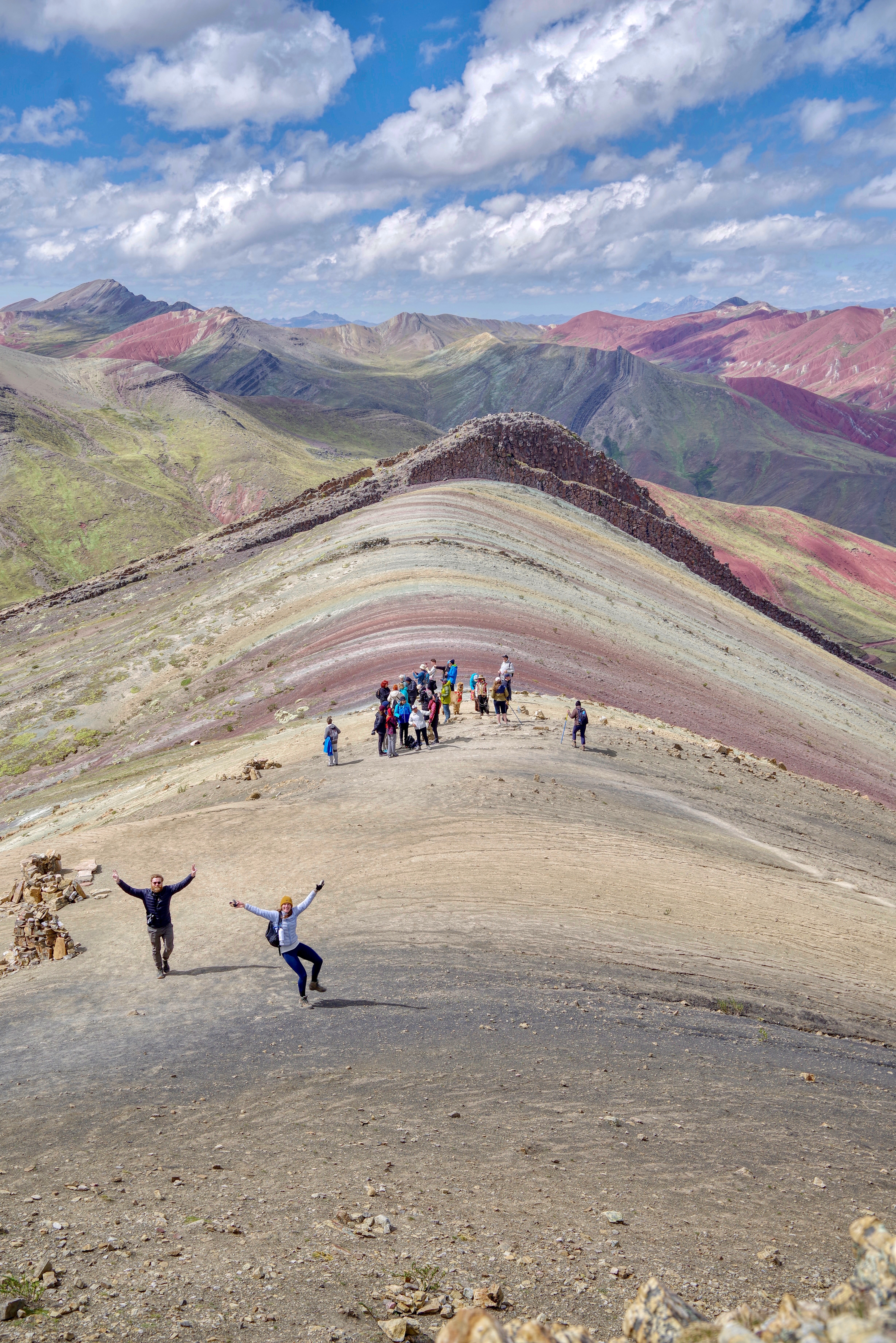
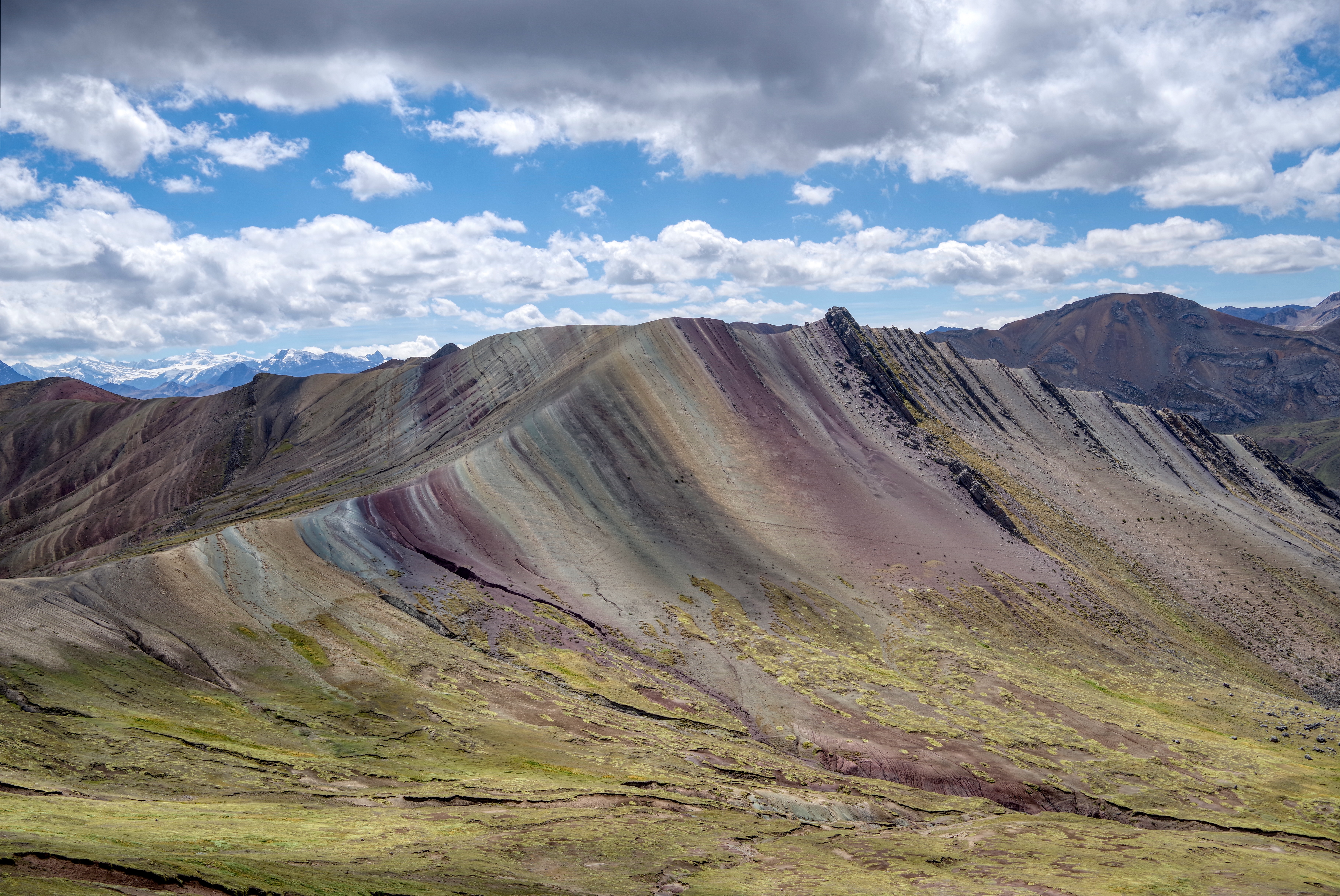
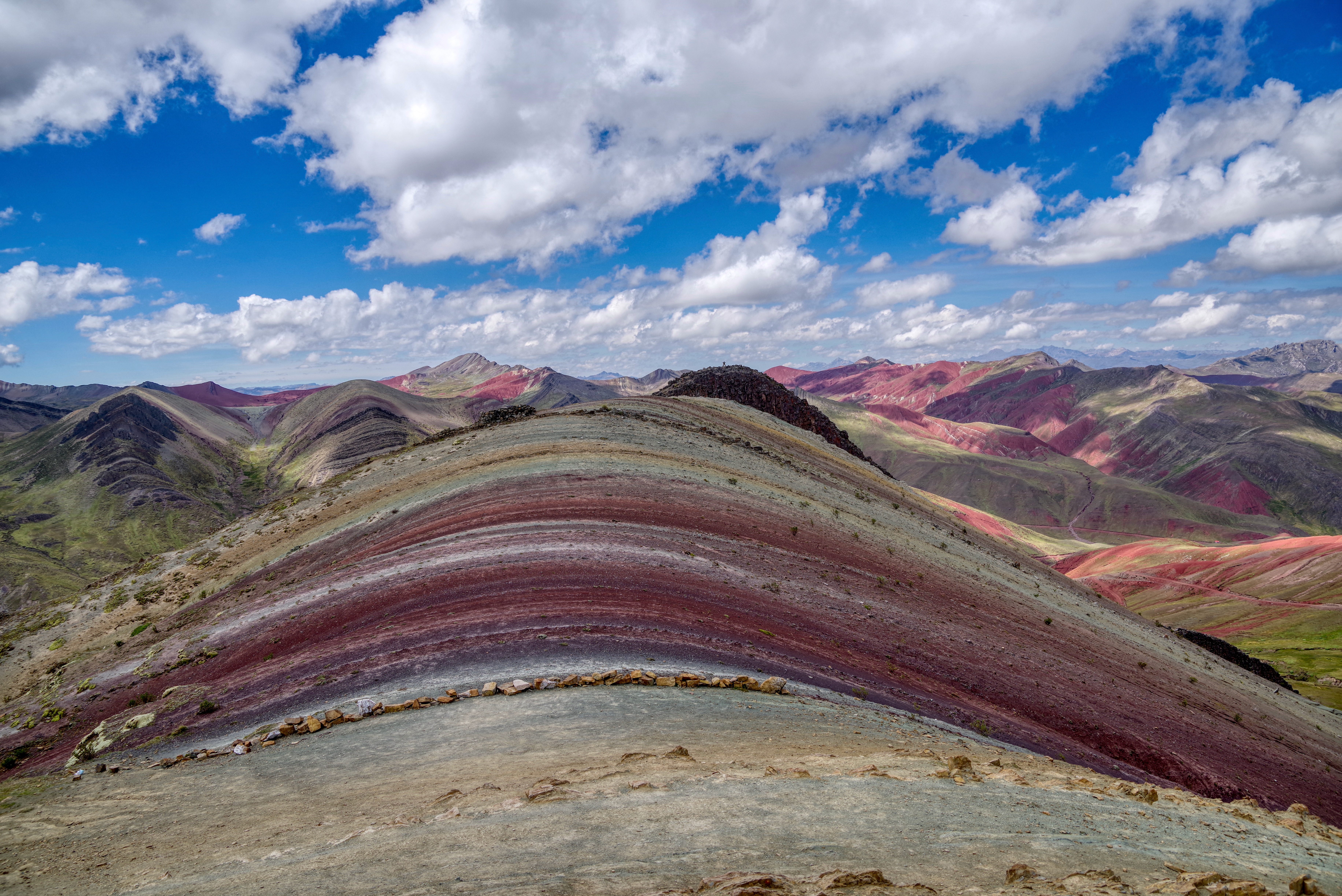
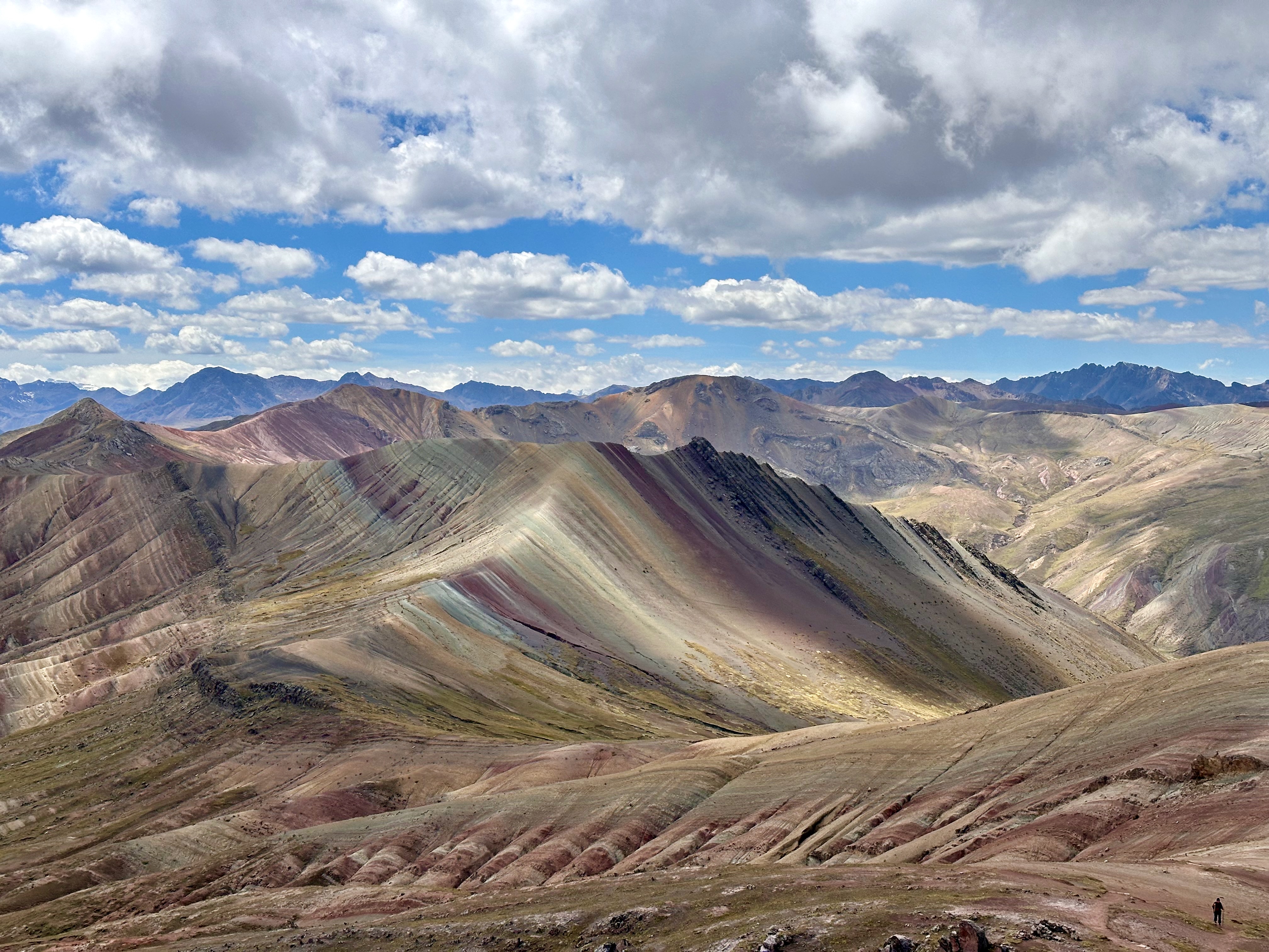
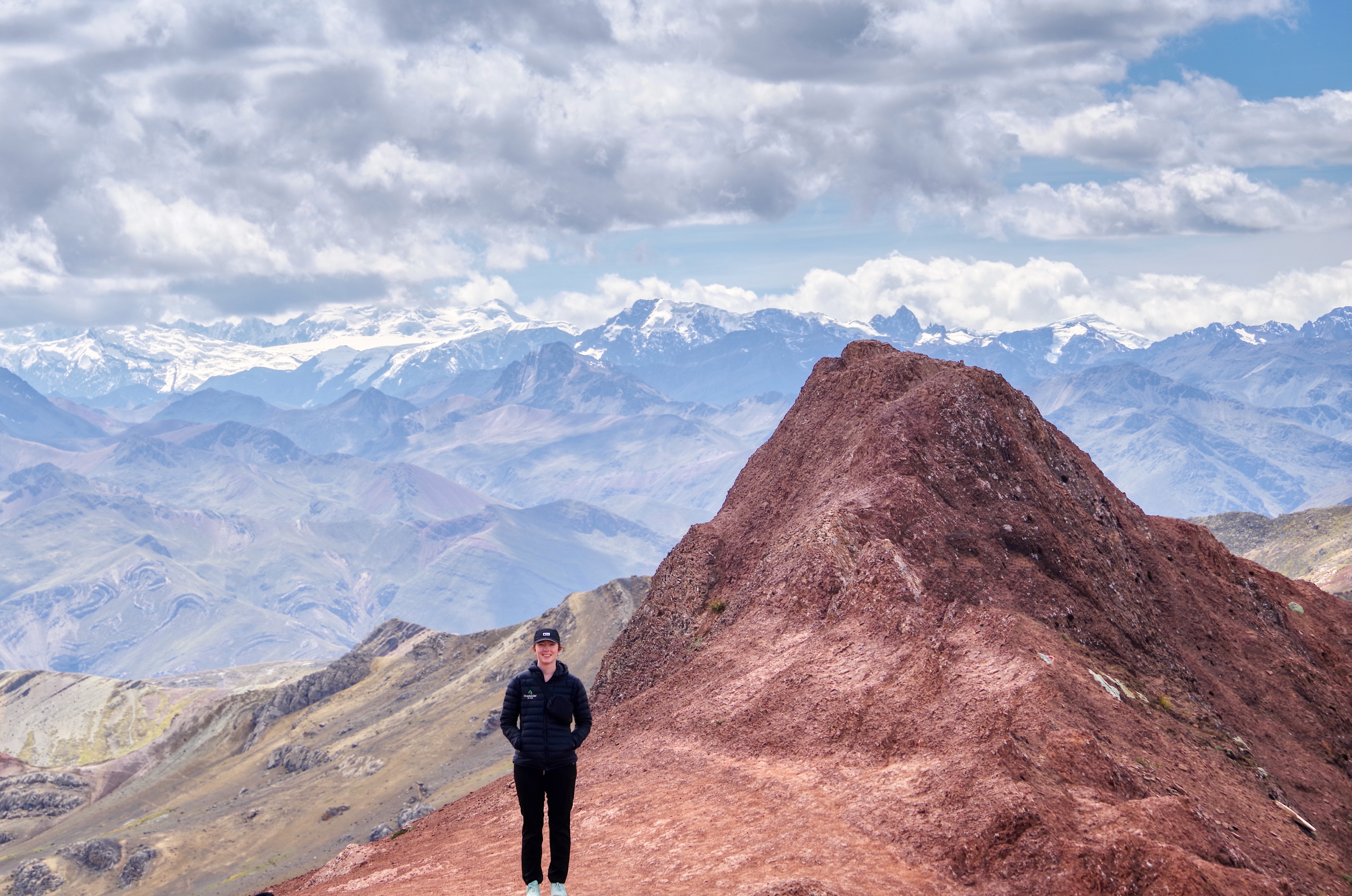
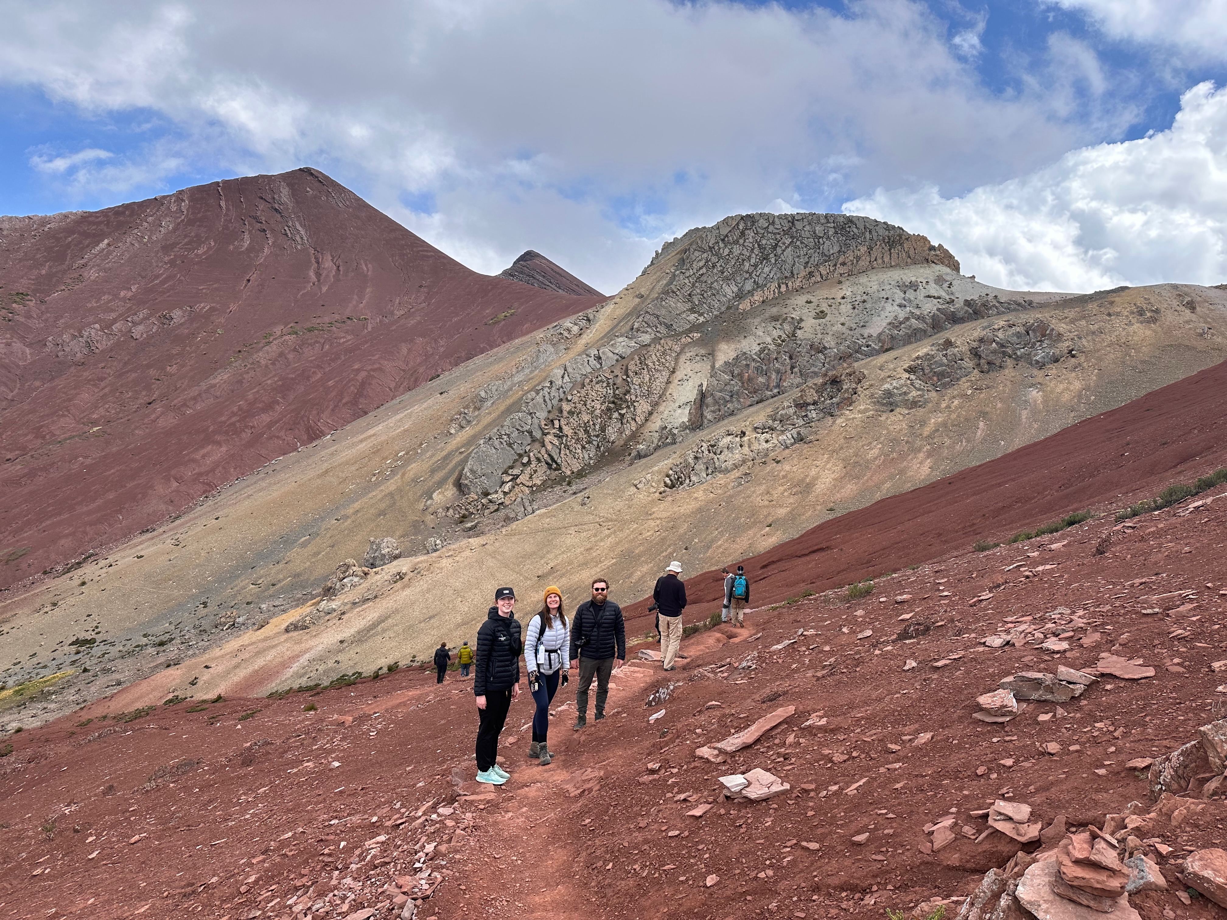
Very astutely Wilson, our guide, suggested that instead of going to the more popular and crowded Vinicunca that we should go to the lesser known Palccoyo.
Inspired advice as it was simply amazing!
The colours and vistas were unbelievable. And not crowded. According to the locals it had only been revealed to the outside world the last 20 years or so!
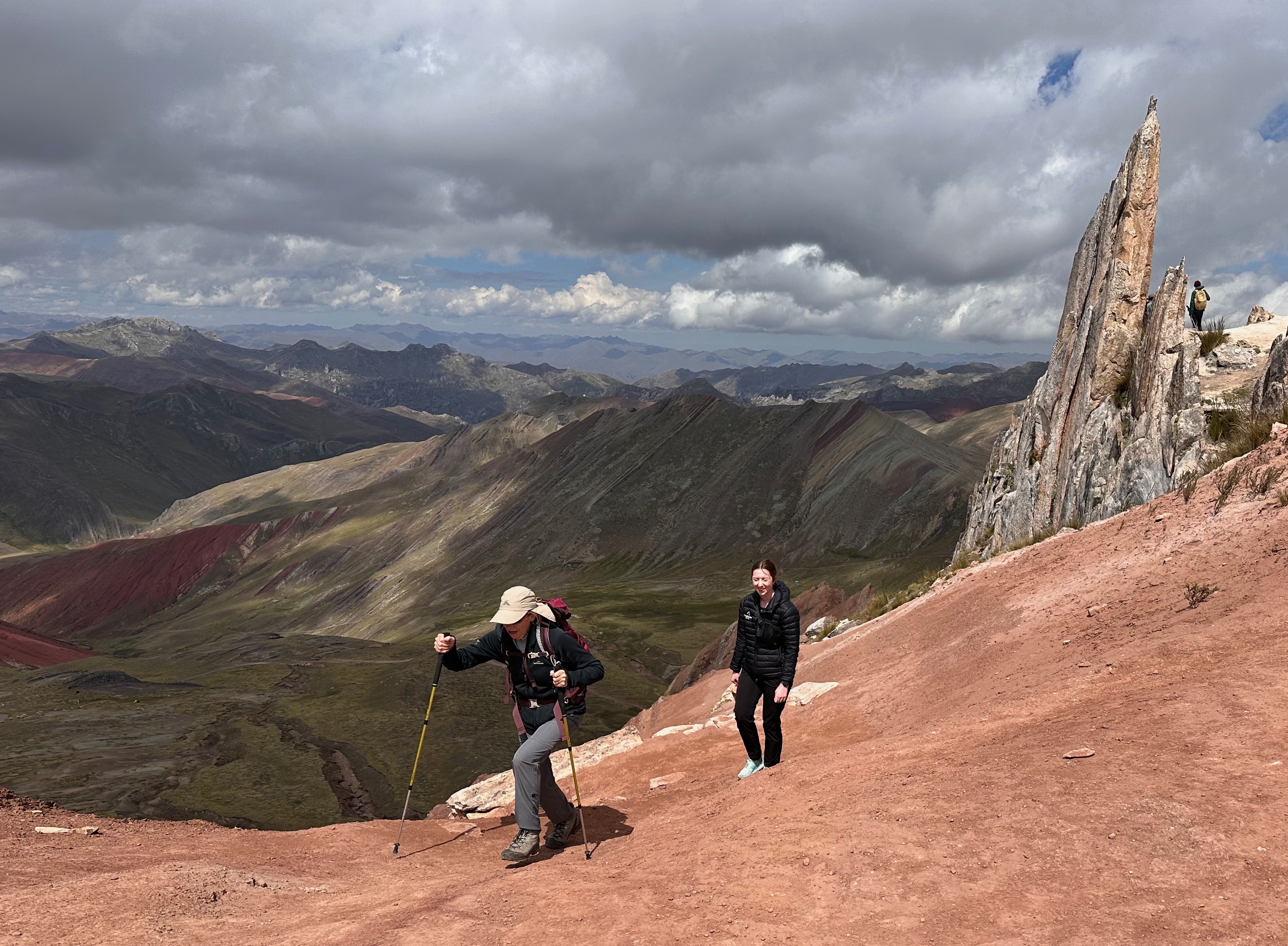
And it was handy having a retired geologist in the group. Apparently Millions of years ago, Palccoyo’s area was submerged under a shallow sea. During this time, different sediments, such as red clay, sandstone, iron oxide, and copper oxide, were deposited on the seafloor, forming layers of different colors. The specific colors are due to the different minerals in each layer of sediments. For example, red clay gives the red color, sandstone provides yellow and orange tones, iron oxide creates the brown color, and copper oxide produces greenish and bluish shades.
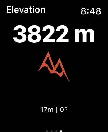
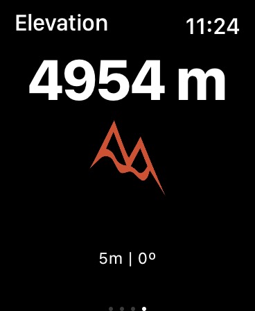
The altitude was nothing to sniff at either. 4954m.
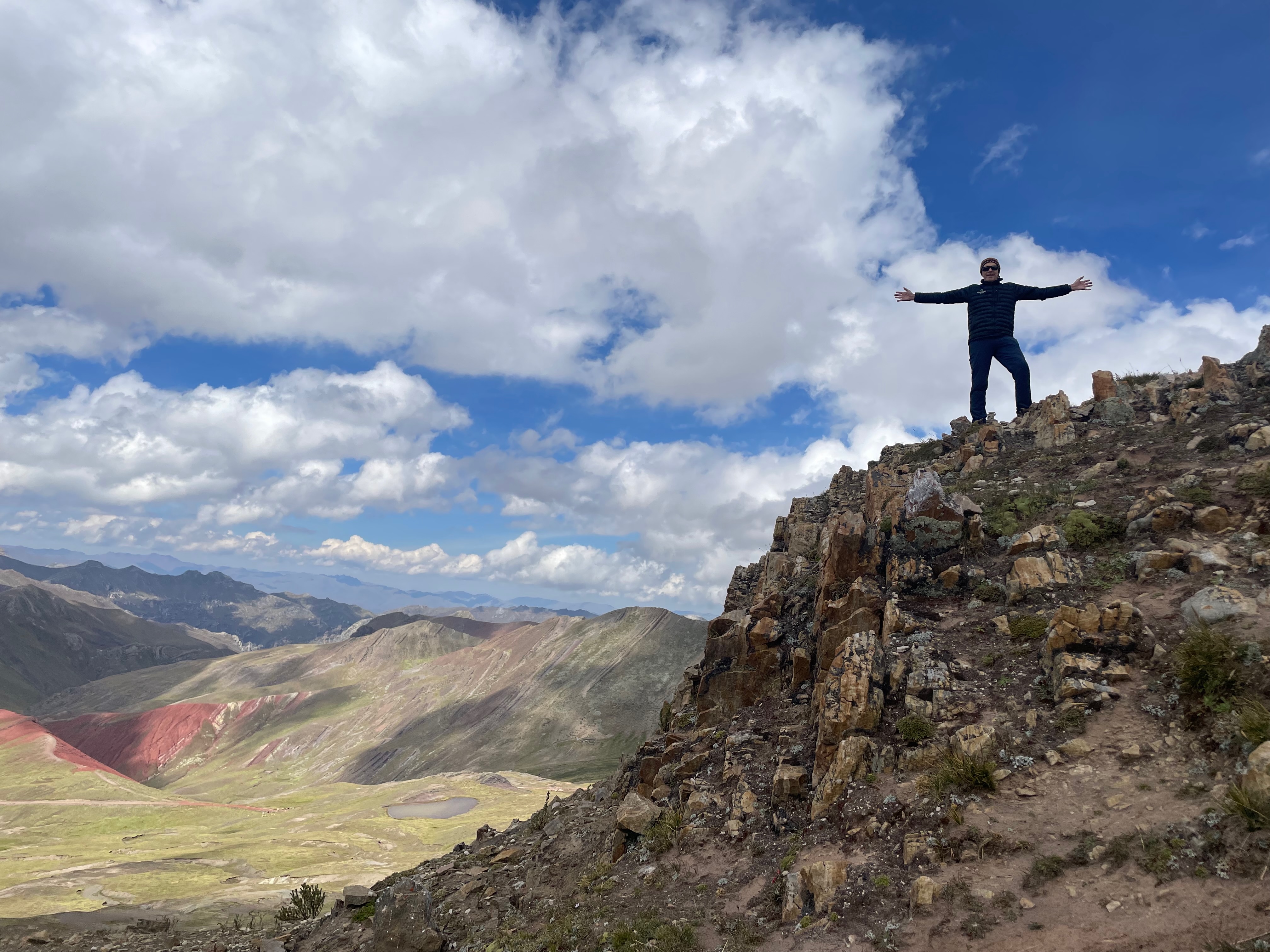
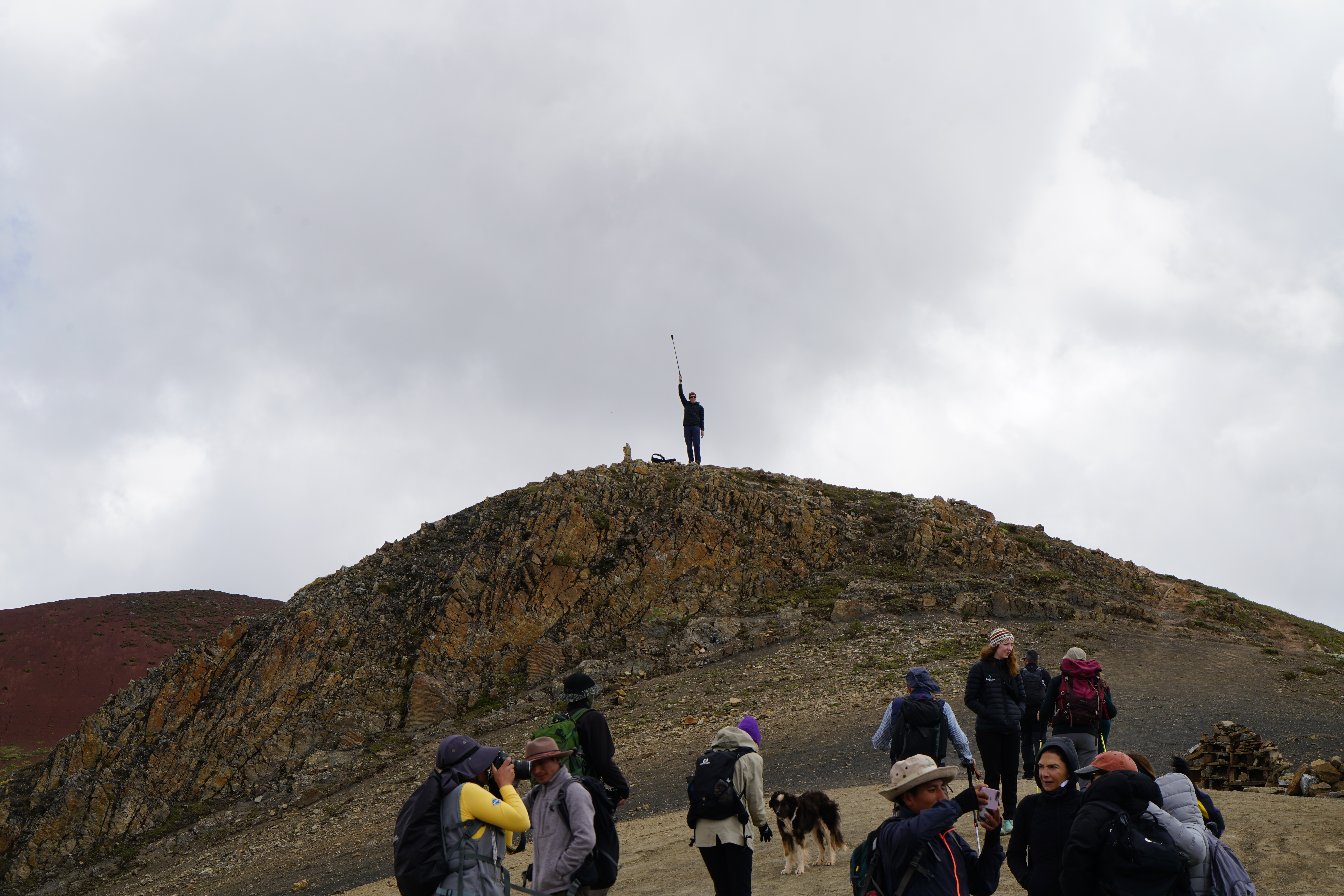
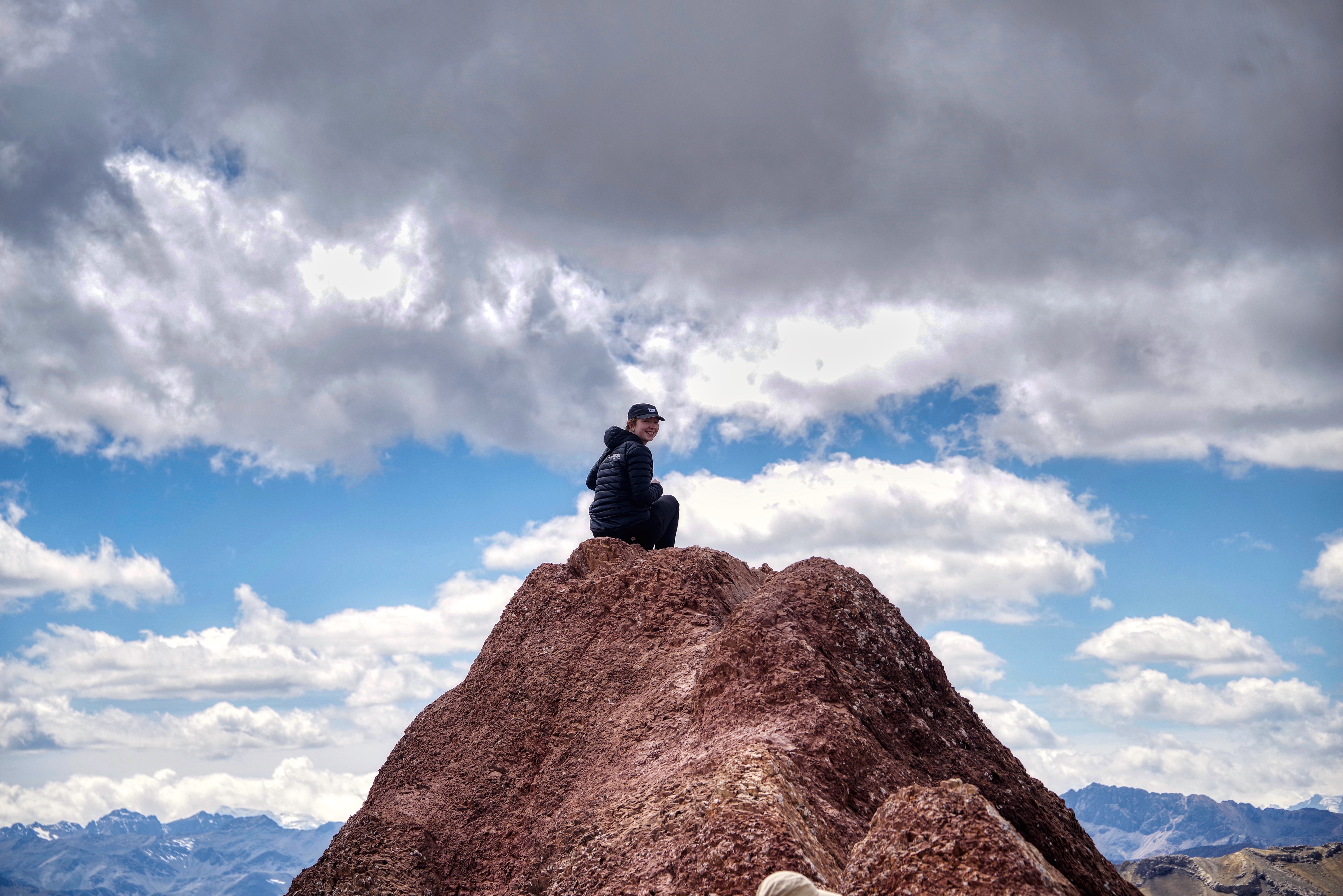
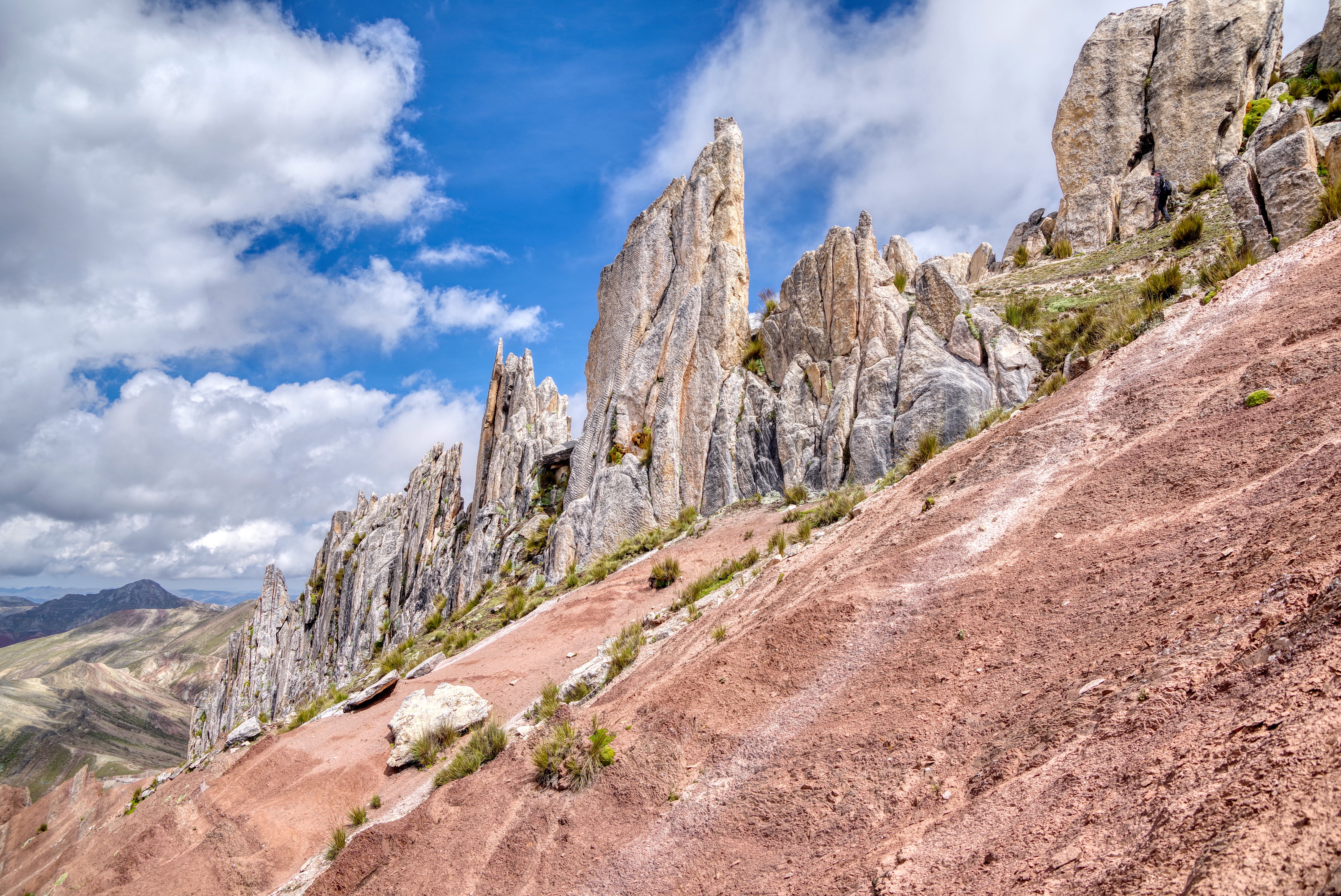
Our local guide was also very astute. He’d gently entice us to the next highest point. Several times when I had announced “Oh I think this is far enough” he’d let us pause for (copious) photos (lots of bracketing) and then encourage us gently on. Aided by Ibolya in our group who bluntly stated, “Well if we’re going to go up this way we may as well just keep going.”
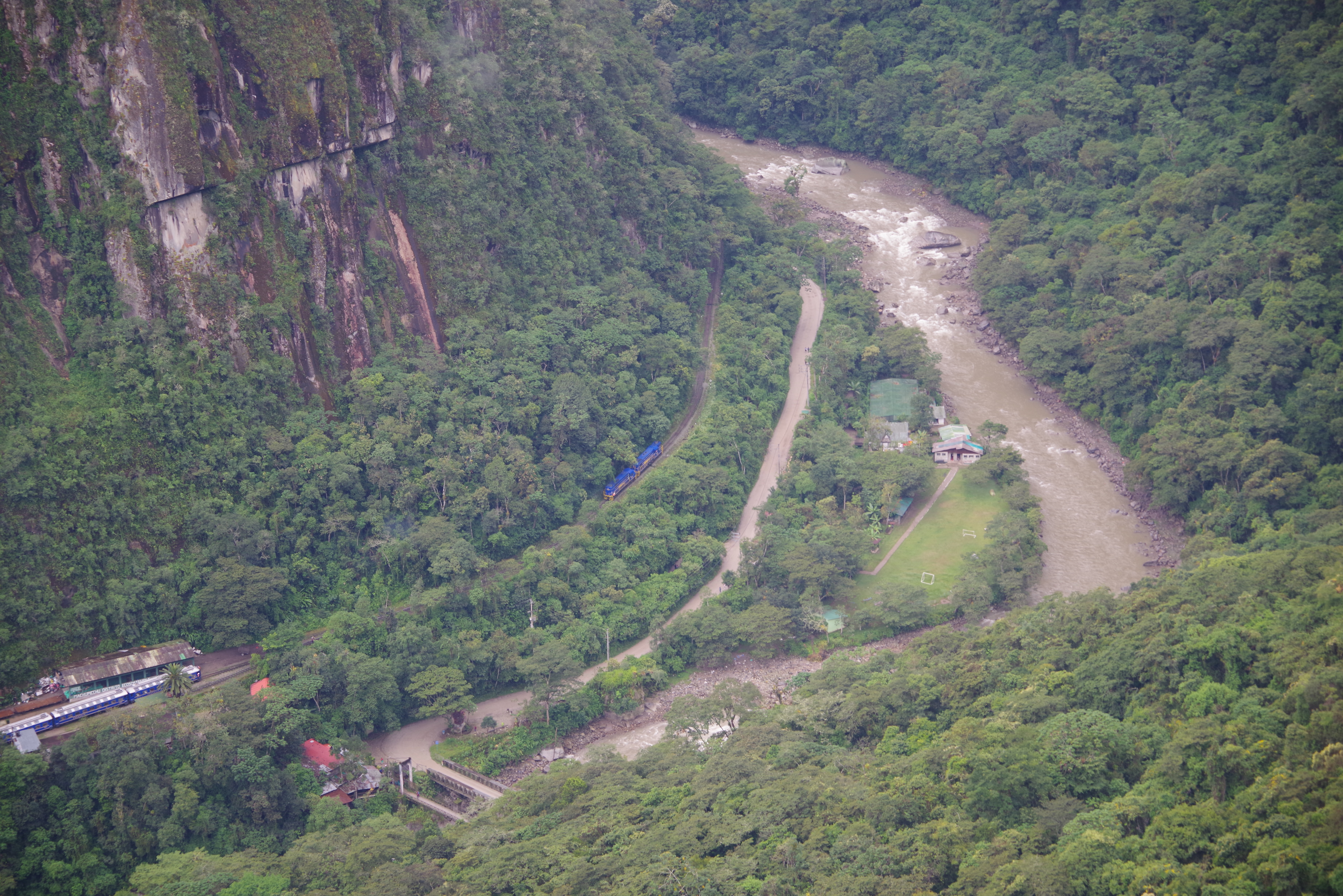
We exited the site, queued up for the bus to drive us down the switchback road to the village at the base in time for lunch.
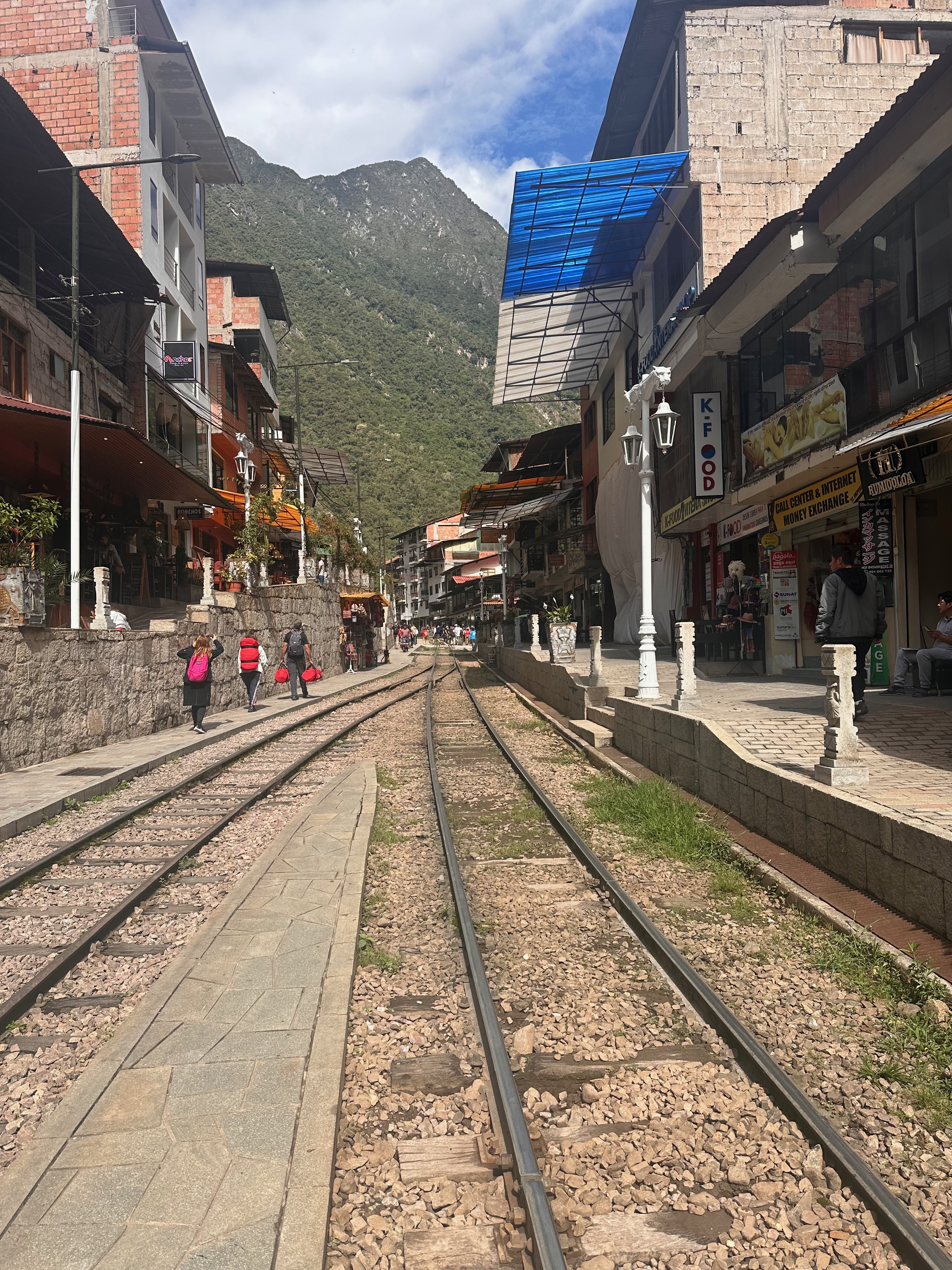
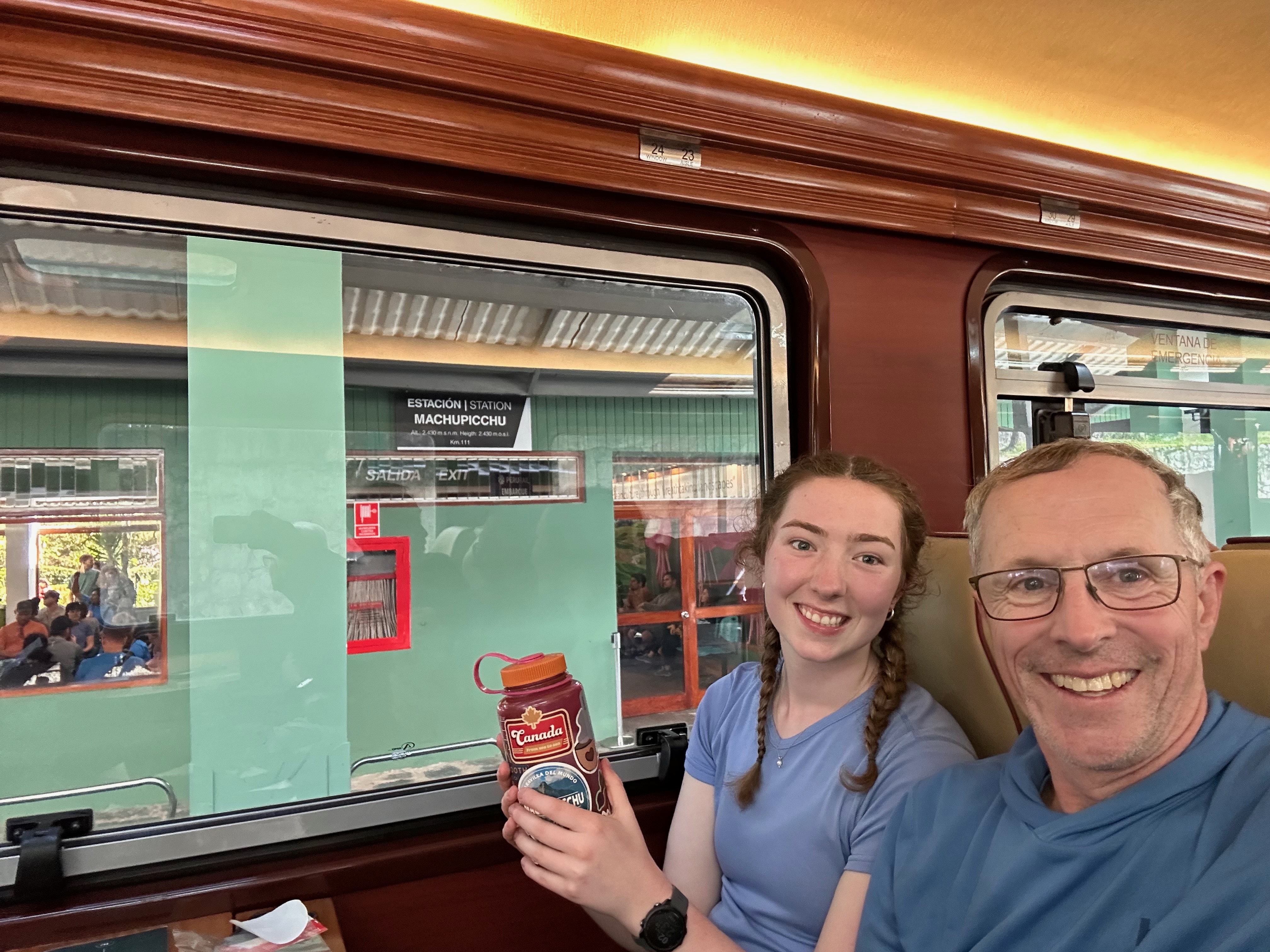
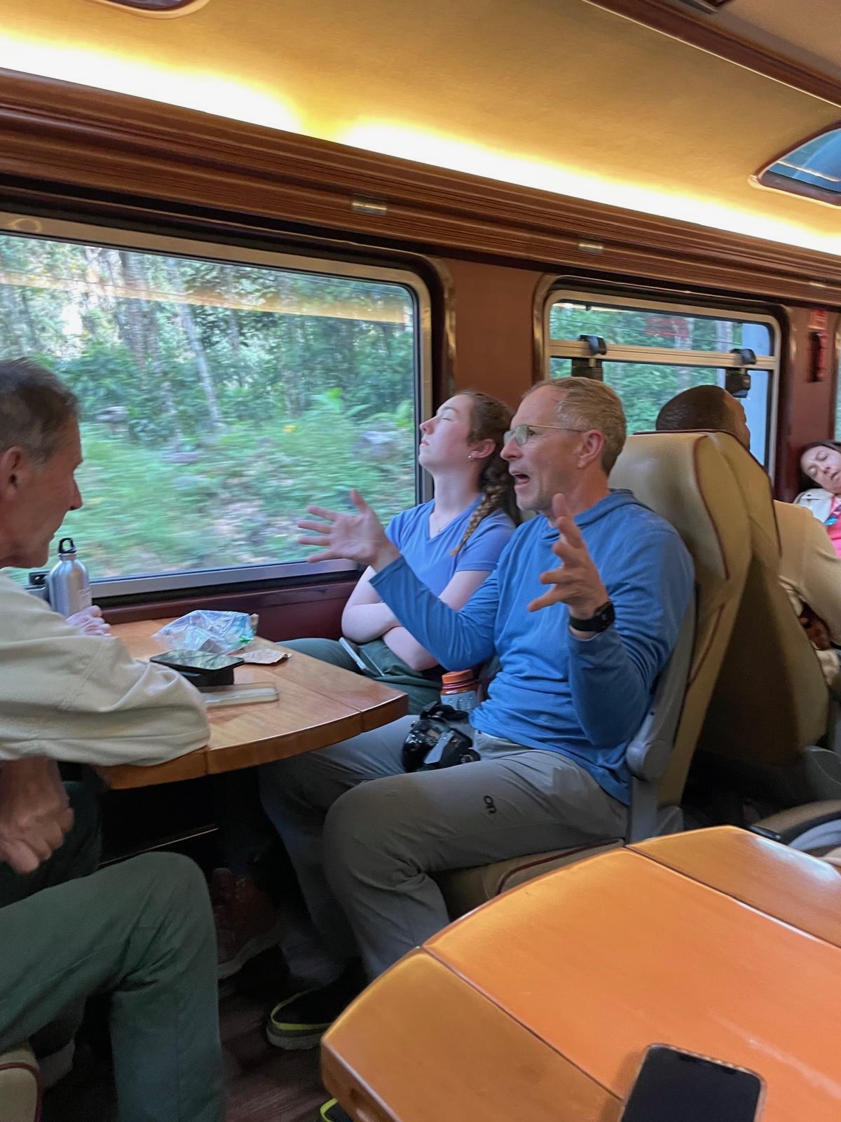
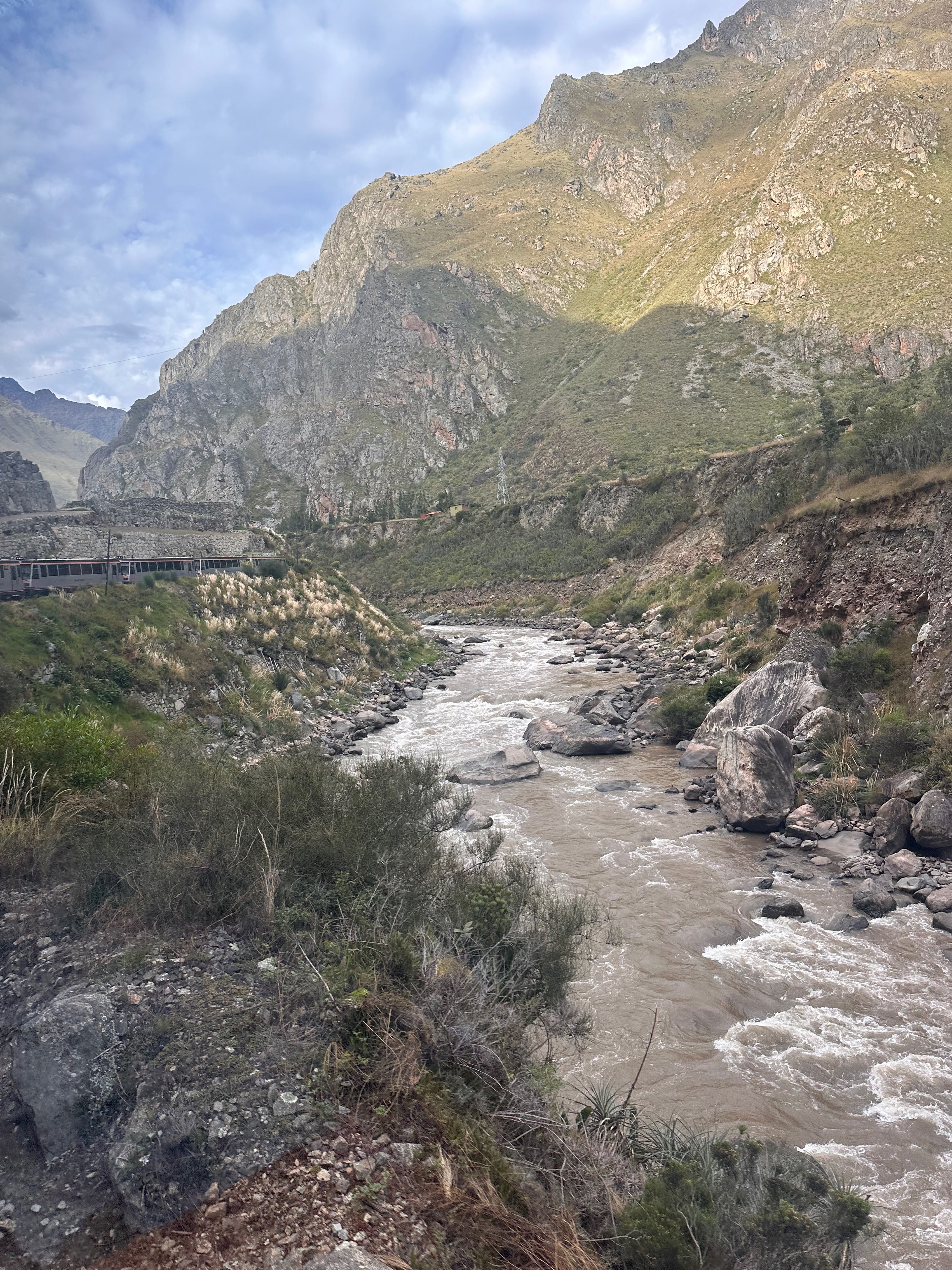
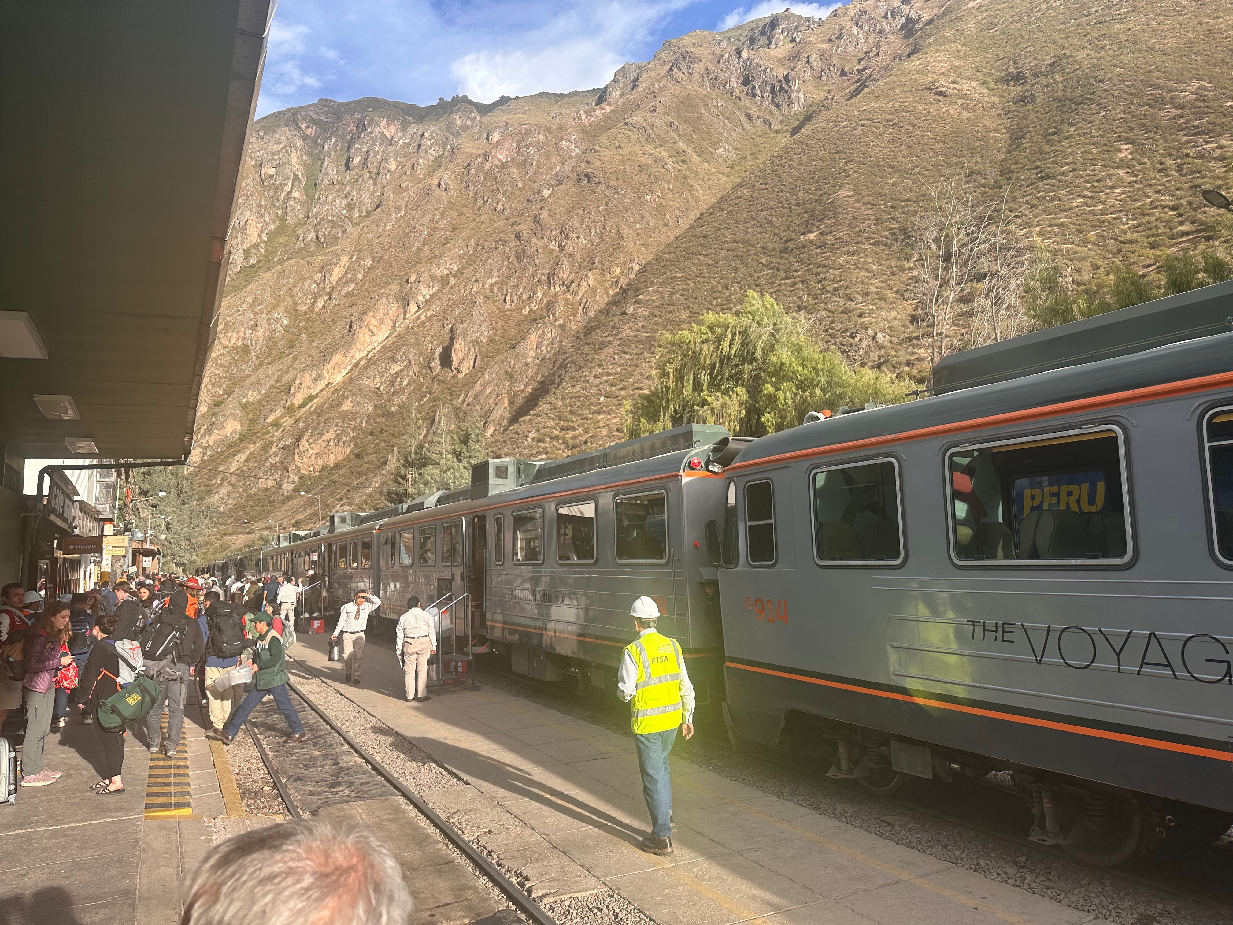
Oh look! The Train!Our route down from the ruinsMost enjoyable
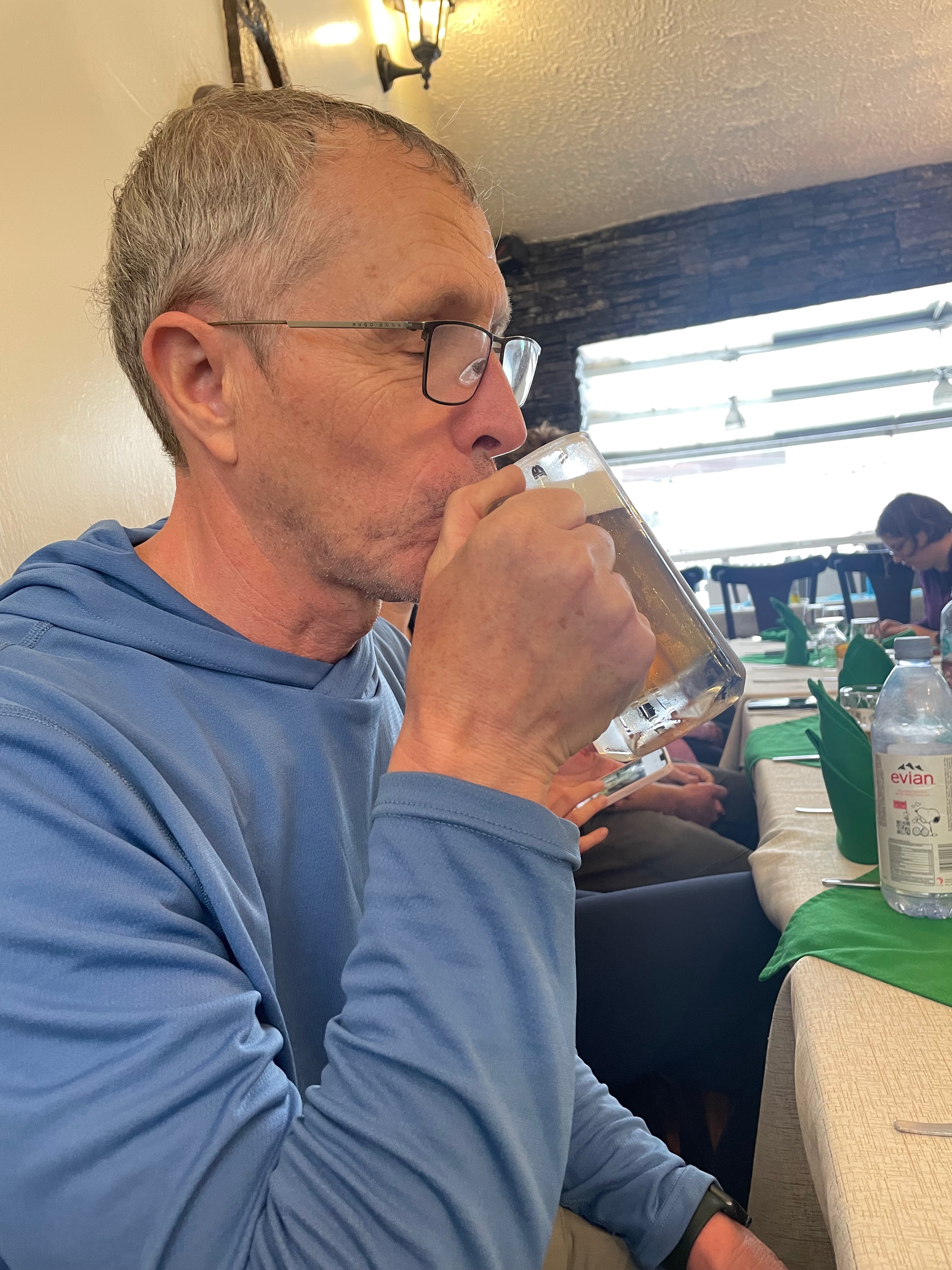
Yes lunch.
Time had sort of seemed suspended while we were up at the site and it felt like it suddenly restarted once back down in the “rest of the world”.
The photo Thea took of me enjoying that very enjoyable beer was at 1230!
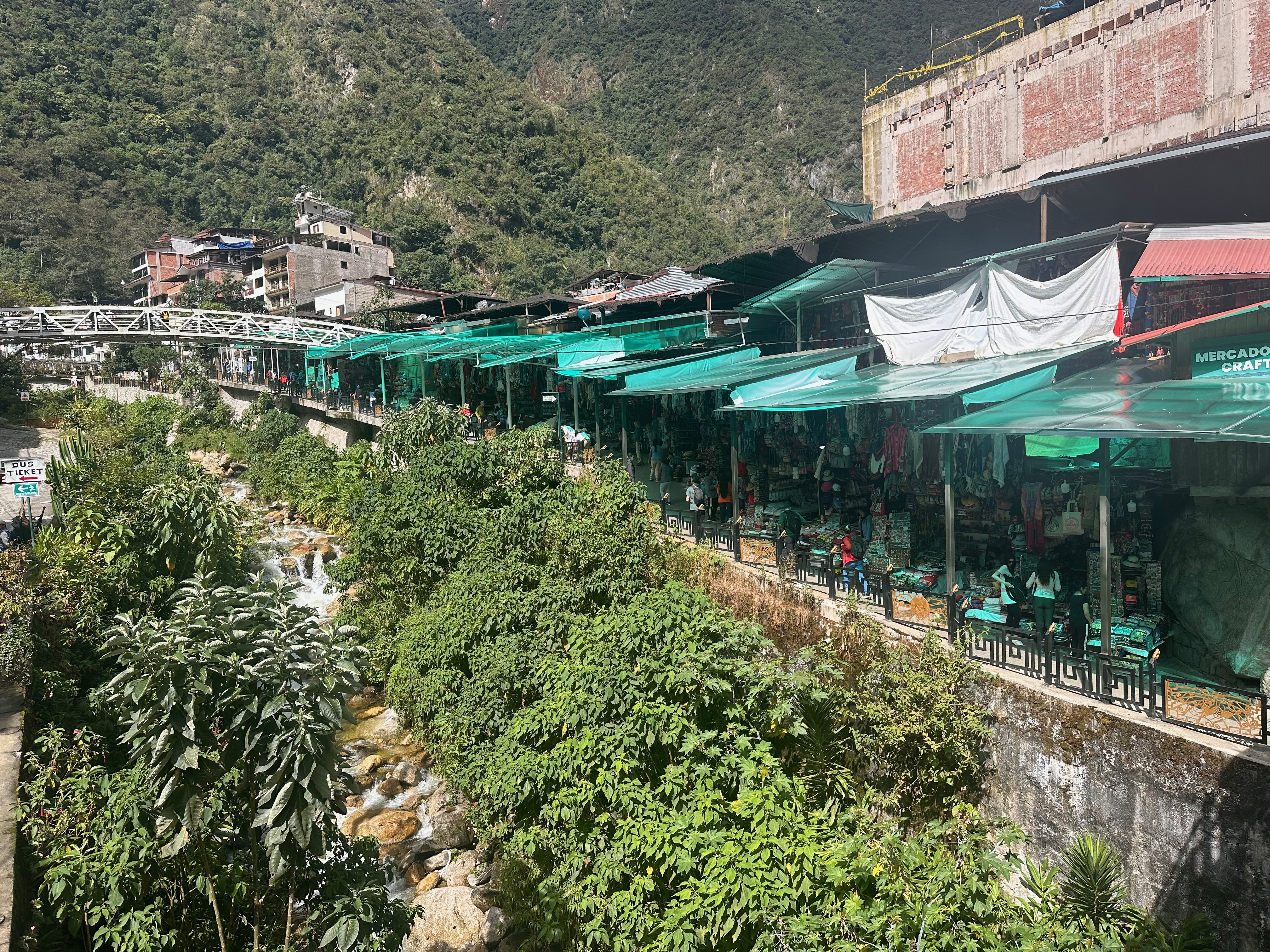
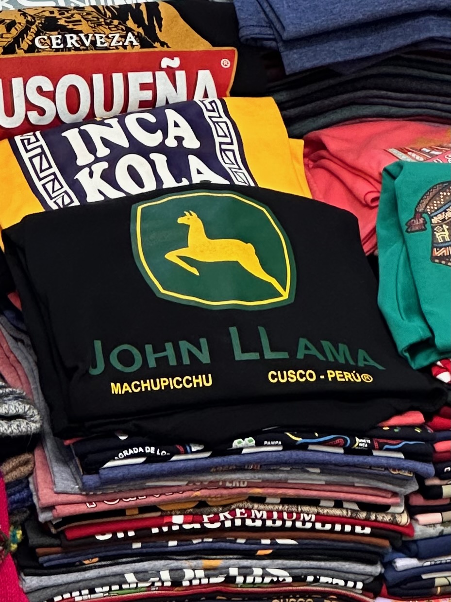
After lunch it was a quick visit to the local market to purchase the alpaca toques we didn’t see for purchase on the trail. Are they toques in Peru? Not sure what the local name is.
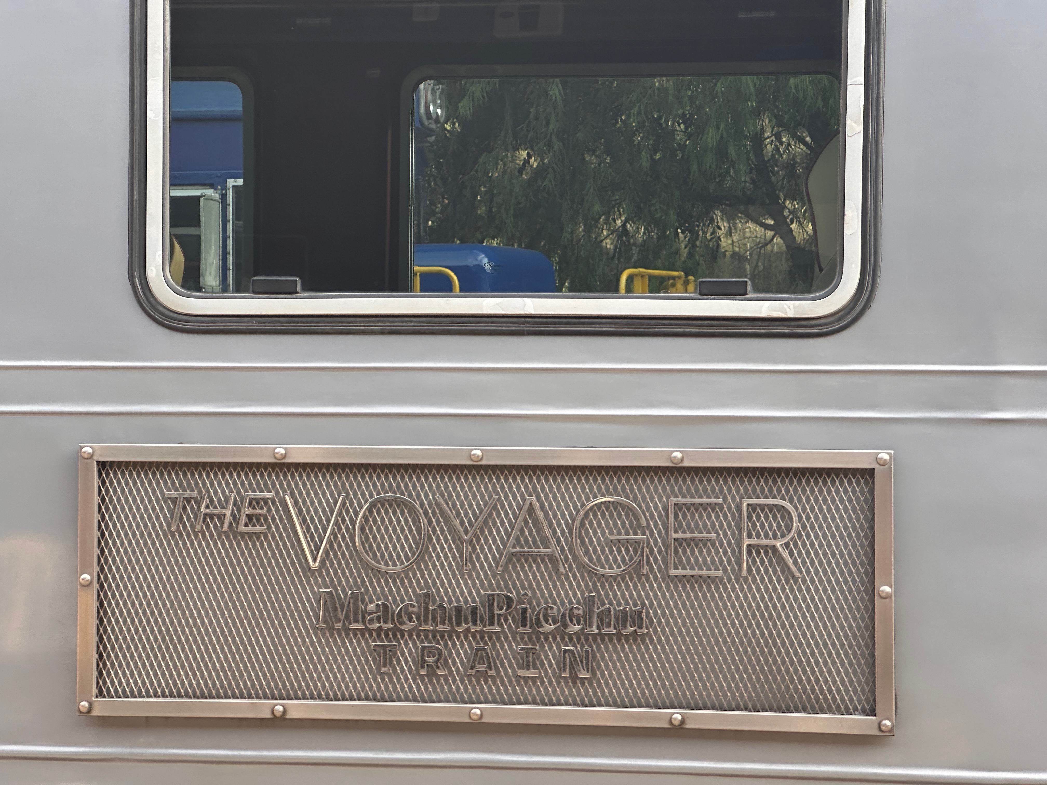
And then it was on the train YES THE TRAIN! , back to Ollyantaytambo to then board the bus back to Cusco.
One of the many book series from Scholastic the kids devoured was Geronimo Stilton. A spin off was Thea Stilton. Our Thea was entranced by one in particular.
And thus here we were.
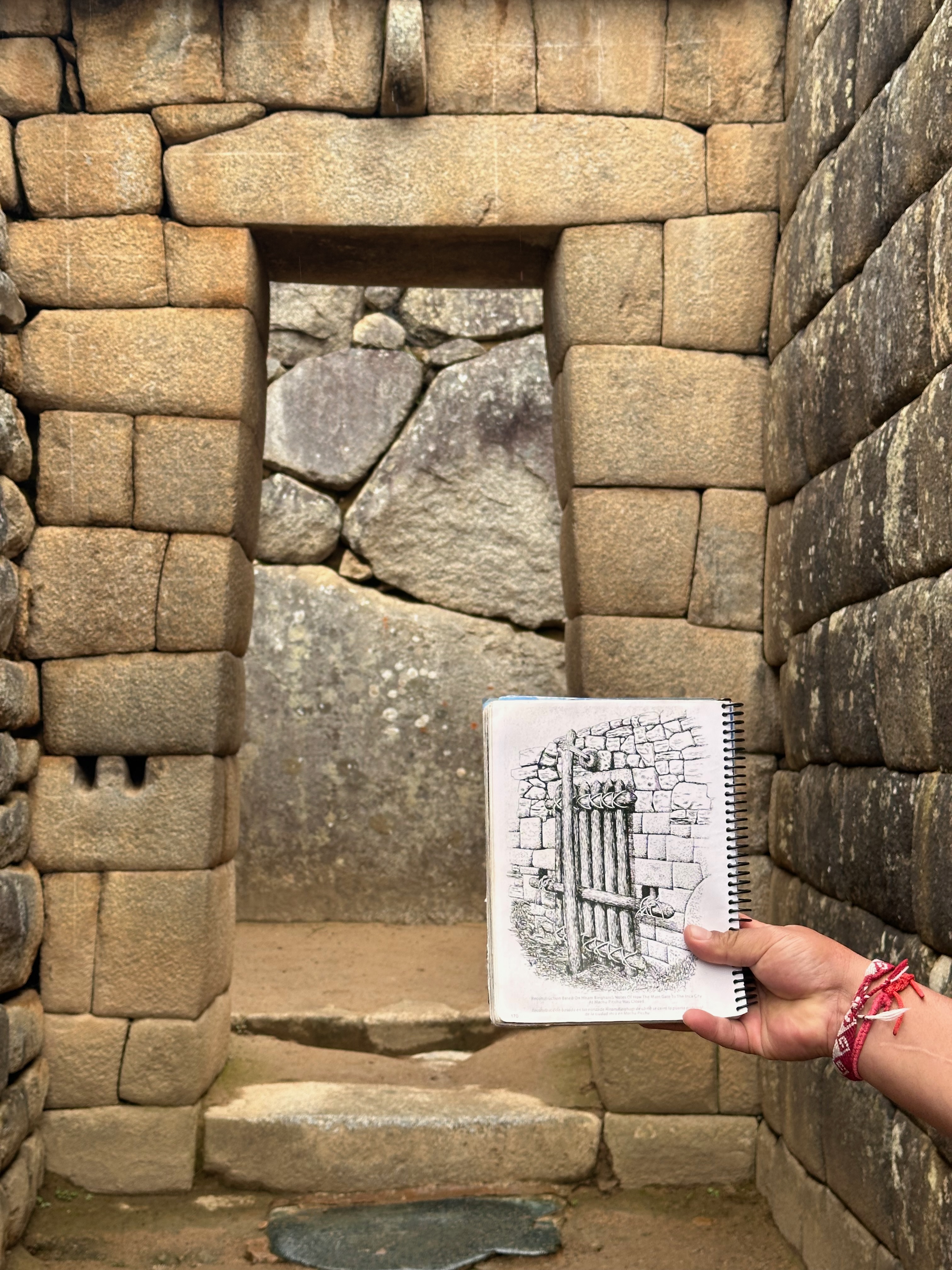
I myself had been re-enjoying a book that Lori had stumbled across. “Turn Right at Machu Picchu” by Mark Adams. A well written and neatly woven retelling of Bingham’s journeys to find the Lost City of the Incas (that Machu Picchu wasn’t) and the author’s “following in the footsteps”.
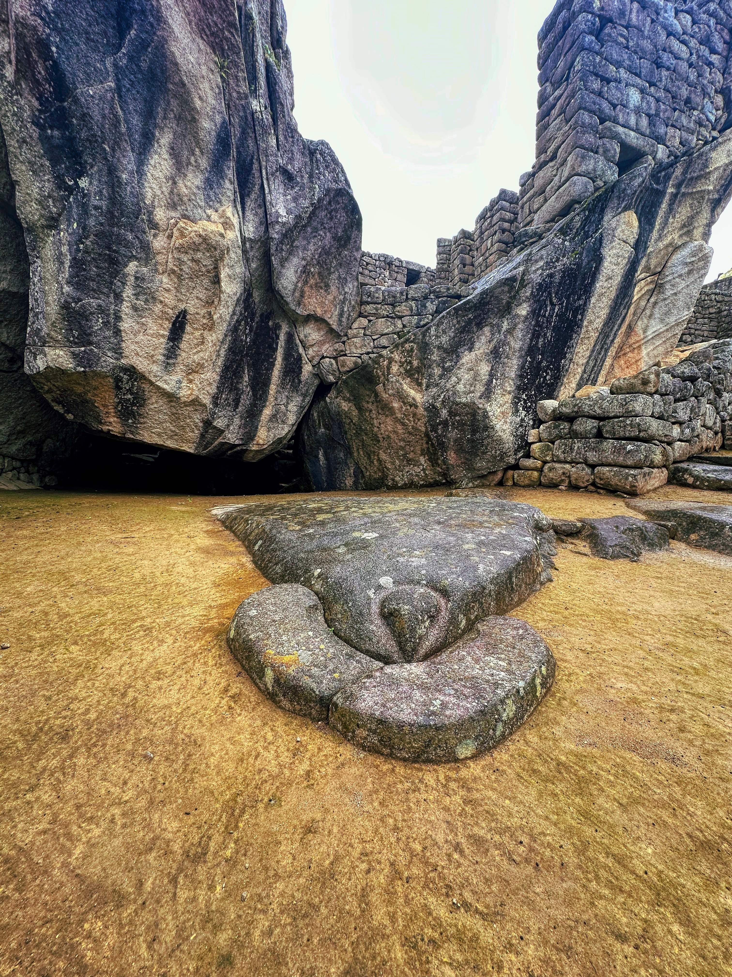
Unfortunately I had forgotten much from my first read and I hadn’t got quite through it again when we arrived at MP. Thus I didn’t notice some of the things I didn’t notice until afterwards. (The Intihuatana Stone, The Temple of the Three Windows for example).
The Intihuatana in the distanceClosest I got to the Temple of Three Windows
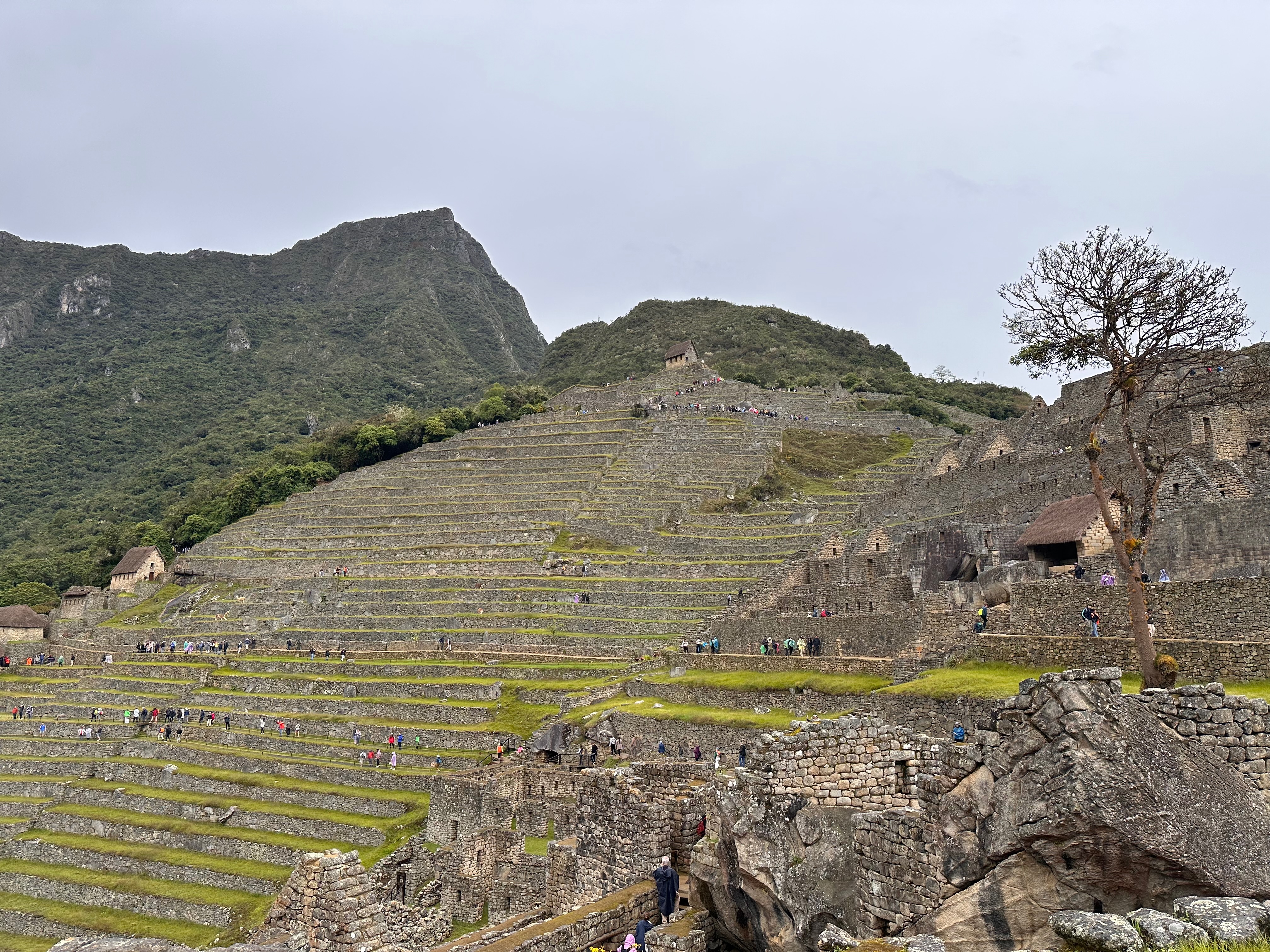
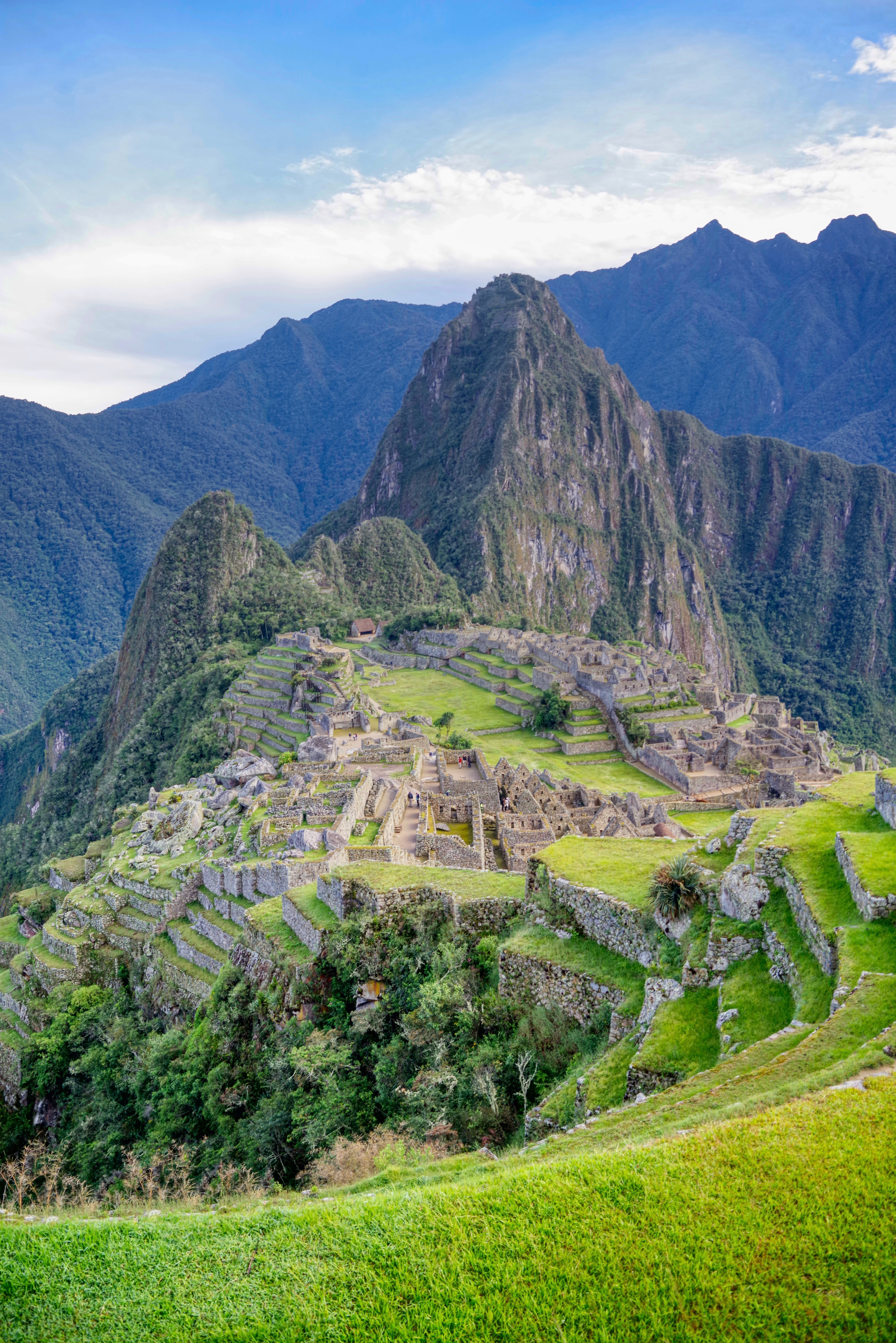
There was just so much to absorb.
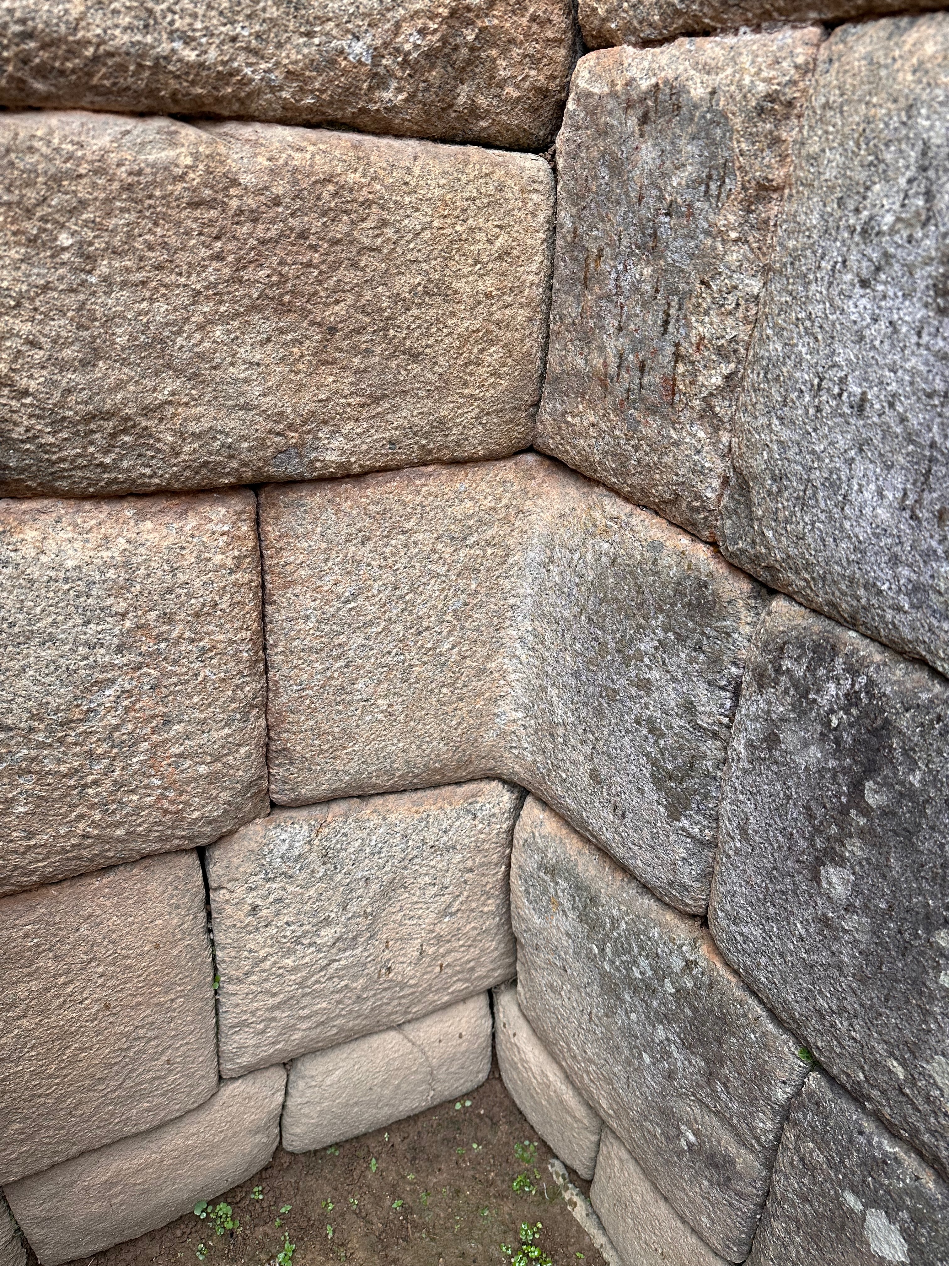
Again the incredible architecture, the mathematical symmetry, the astronomical precision and the artistry.
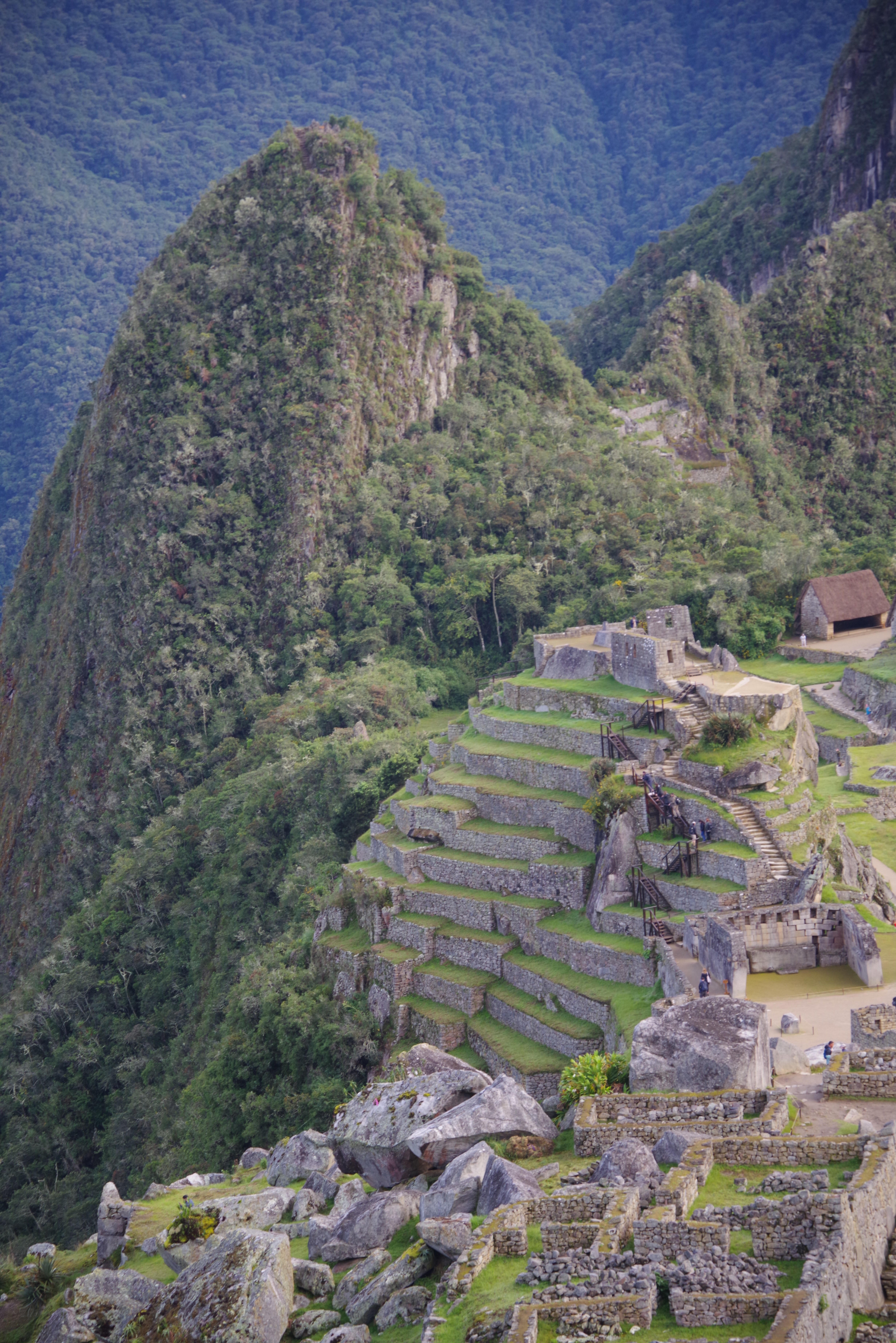
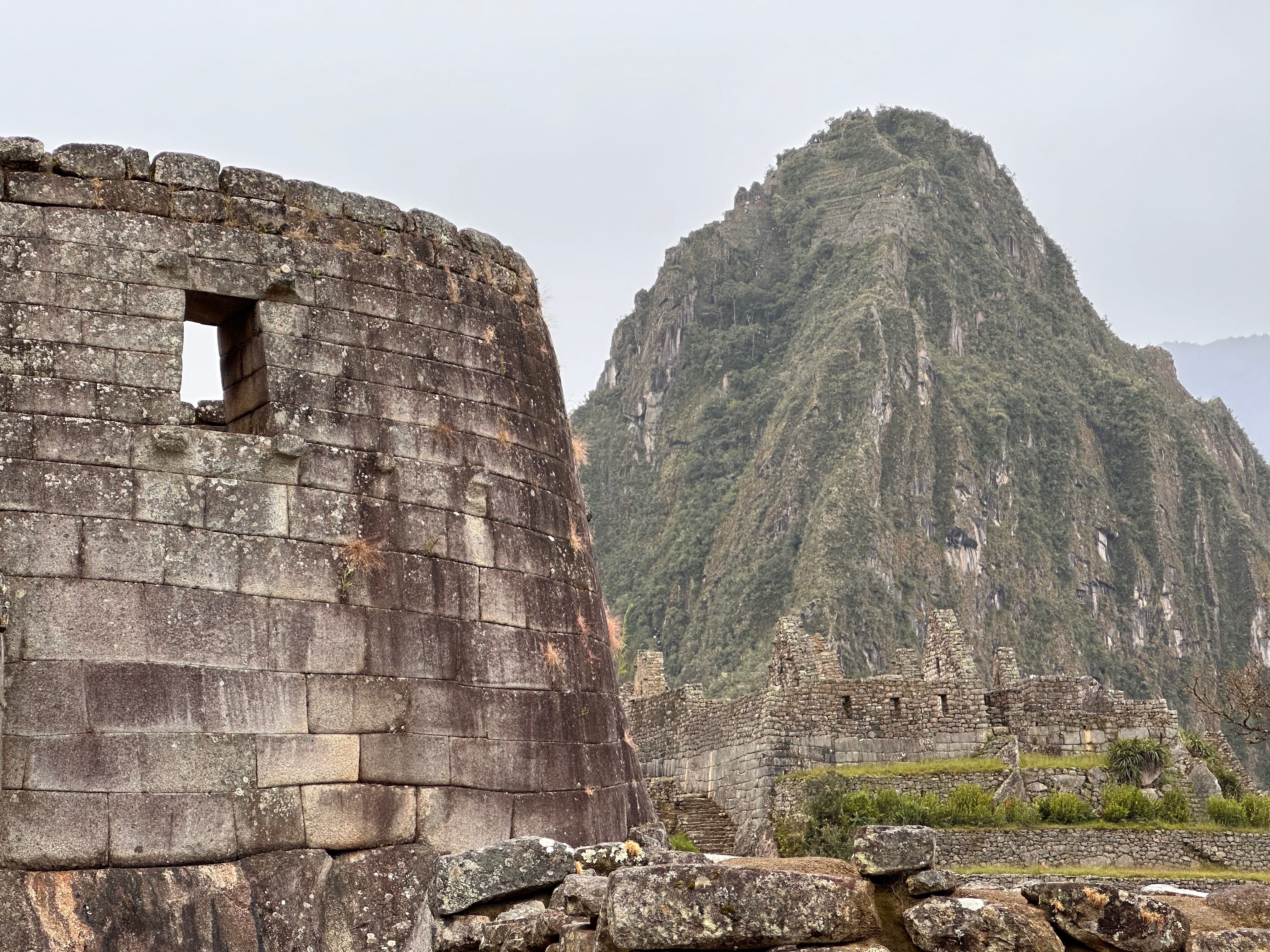
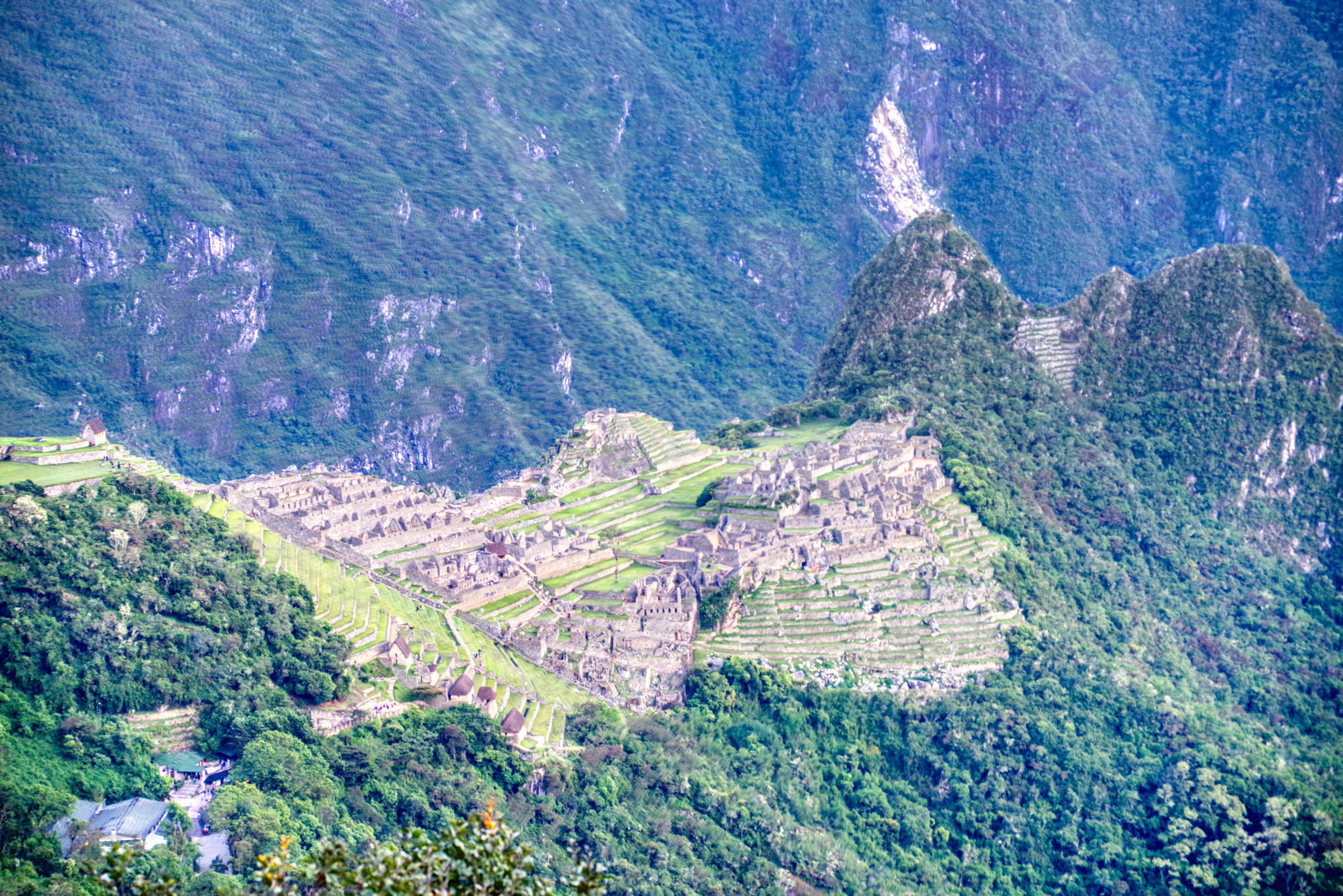
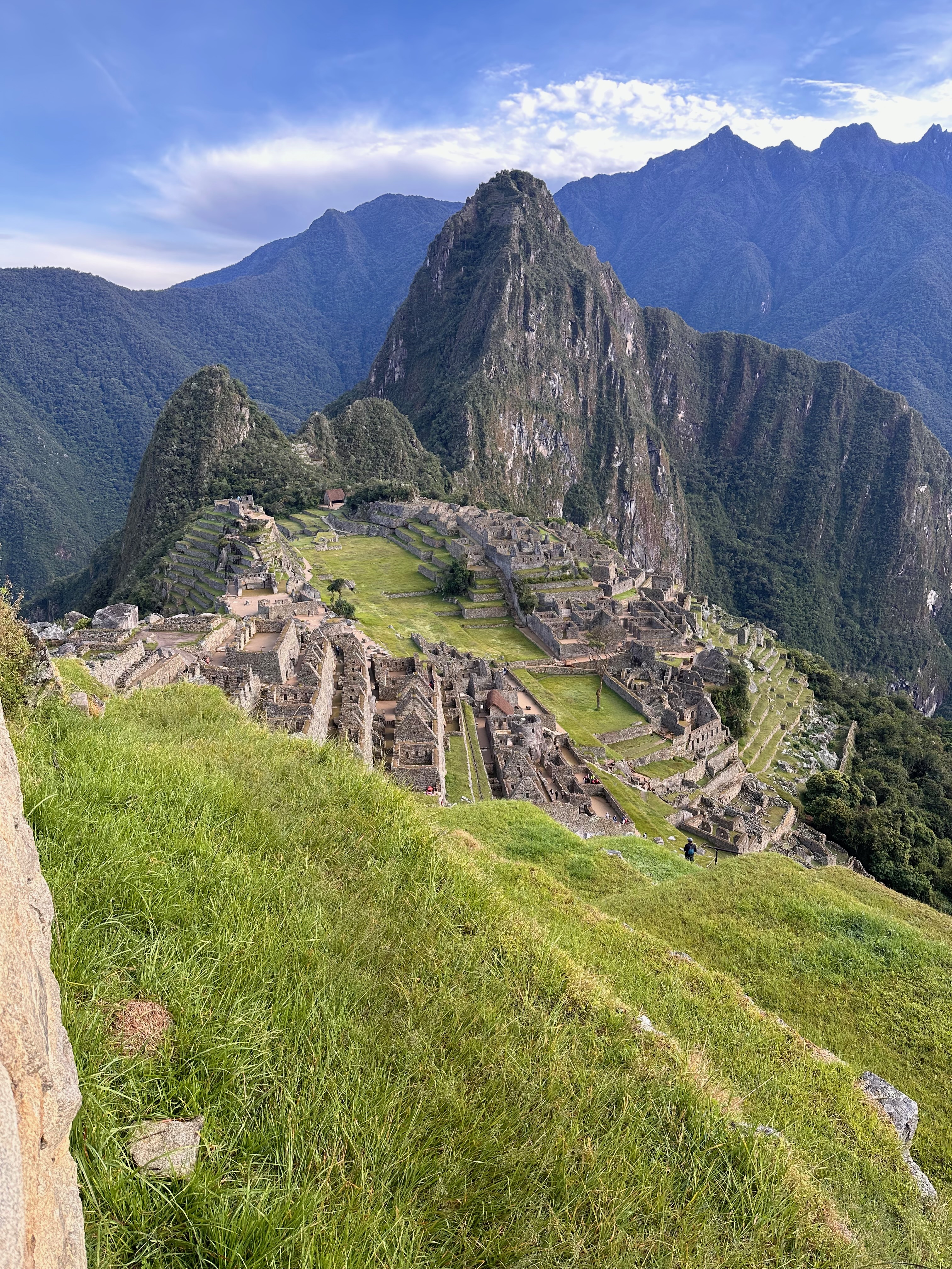
I had been unaware that all of the Inca sites except for Choquequirao are designed to appear like the animals important to the Incas
MP was laid out in the shape of a condor when viewed from Huayna Picchu. Cusco is laid out in the shape of a puma. Choquequirao has terraces inlaid with llama mosaics.
And an integral part of the site is the Condor Temple, shaped around the natural rock to look, well, like a condor.
But this was just one facet of the multiple architectural wonders of the site.
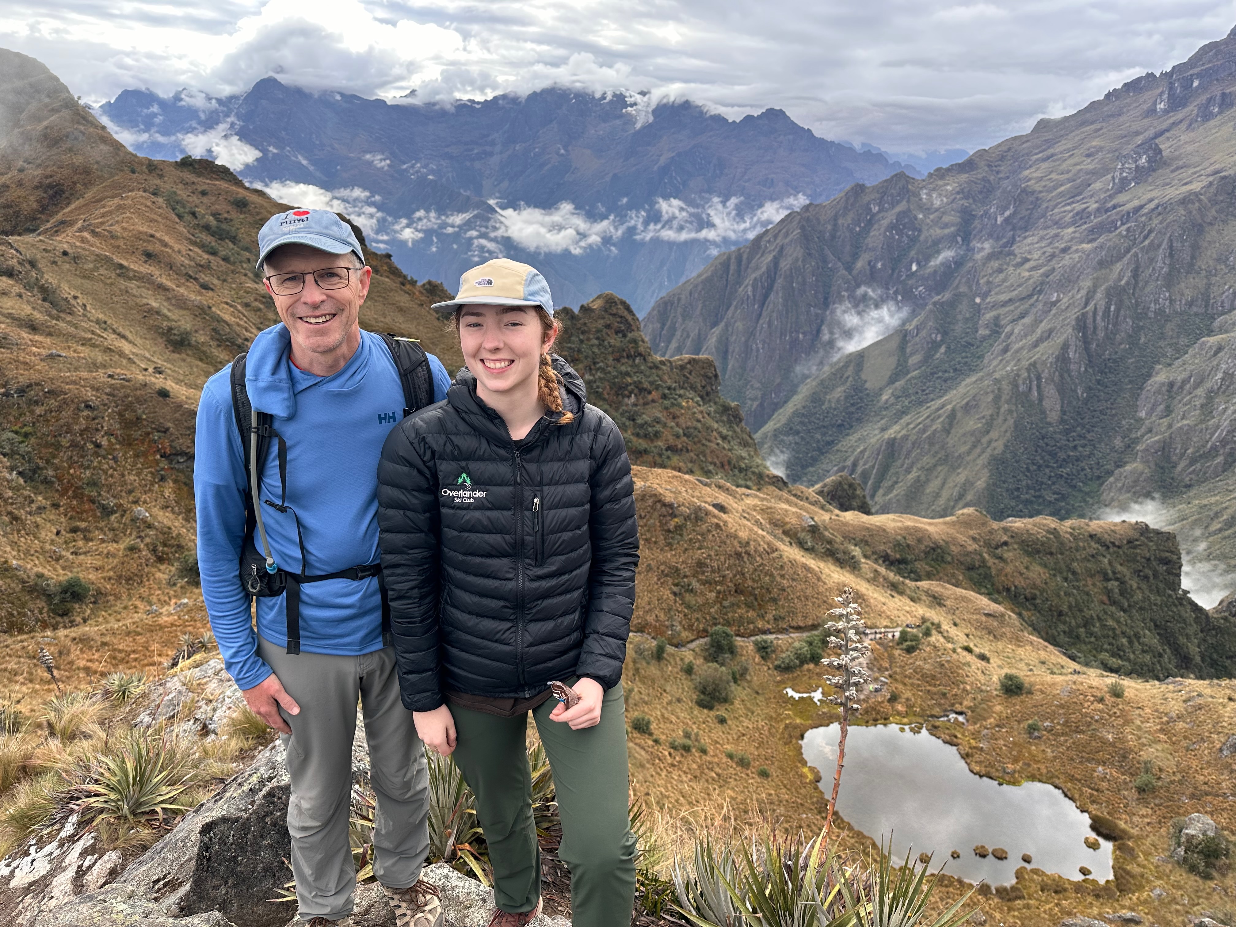
There’s walking pace. Then there’s “Mackey” walking pace. And then there’s “Anthea’s on a mission to get to Machu Picchu” walking pace.
I’d been surprised at how well my body had held up to the hiking. Apart from having to tape some of the toes on my left foot I woke up each morning feeling mostly ok. I attribute this to our guide pacing us well with regular stops, and possibly the altitude slowing us down.
But not today.
Today we had to be up at 330 am. We had to be up early so the porters could pack up and be on the 530 train. The trail did not open until 530 and so we had to wait. Our guide chose not to have us wait at the gate but to only go down there as it was opening.
Thus we started the last leg to Machu Picchu at the back.
Our guide did tell us we could walk at our own pace and, should we wish to pass, just say “On your right” and to do so.
This Anthea set out to do.
We had quickly passed maybe 100 other hikers when we got caught behind an American group that were sticking together and not passing. Nor letting others pass. When an opportunity to pass came, one of the group kept stepping out to block Anthea from doing so. So she deftly cut on his inside, whereupon he stuck out his walking stick to try and trip/stop her.
A minor international incident may or may not have ensued.
I’m not sure what the intention was. Maybe they were worried we’d steal it if we got there before them.
Yada yada, both Thea and I made it past the group and pressed on.
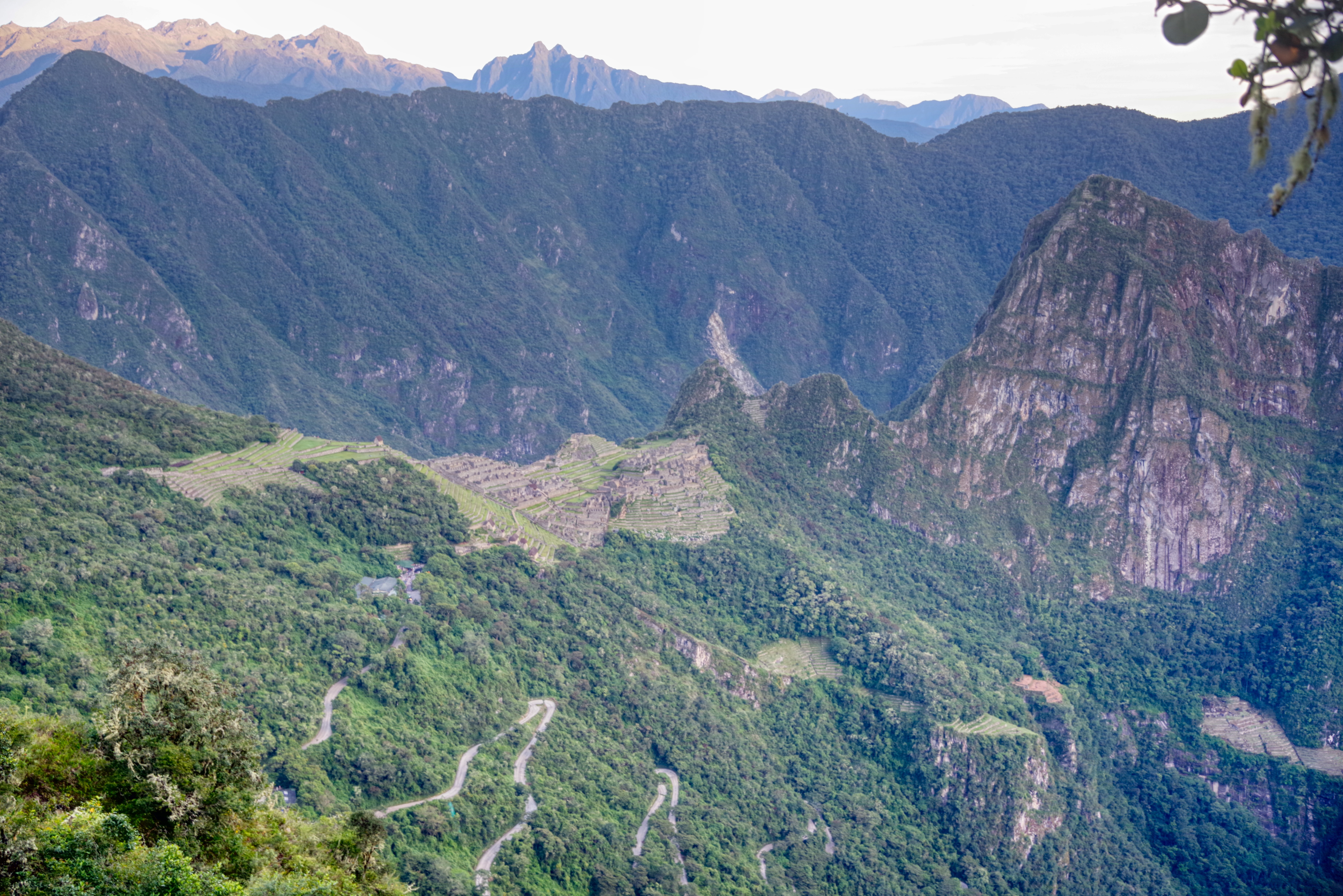
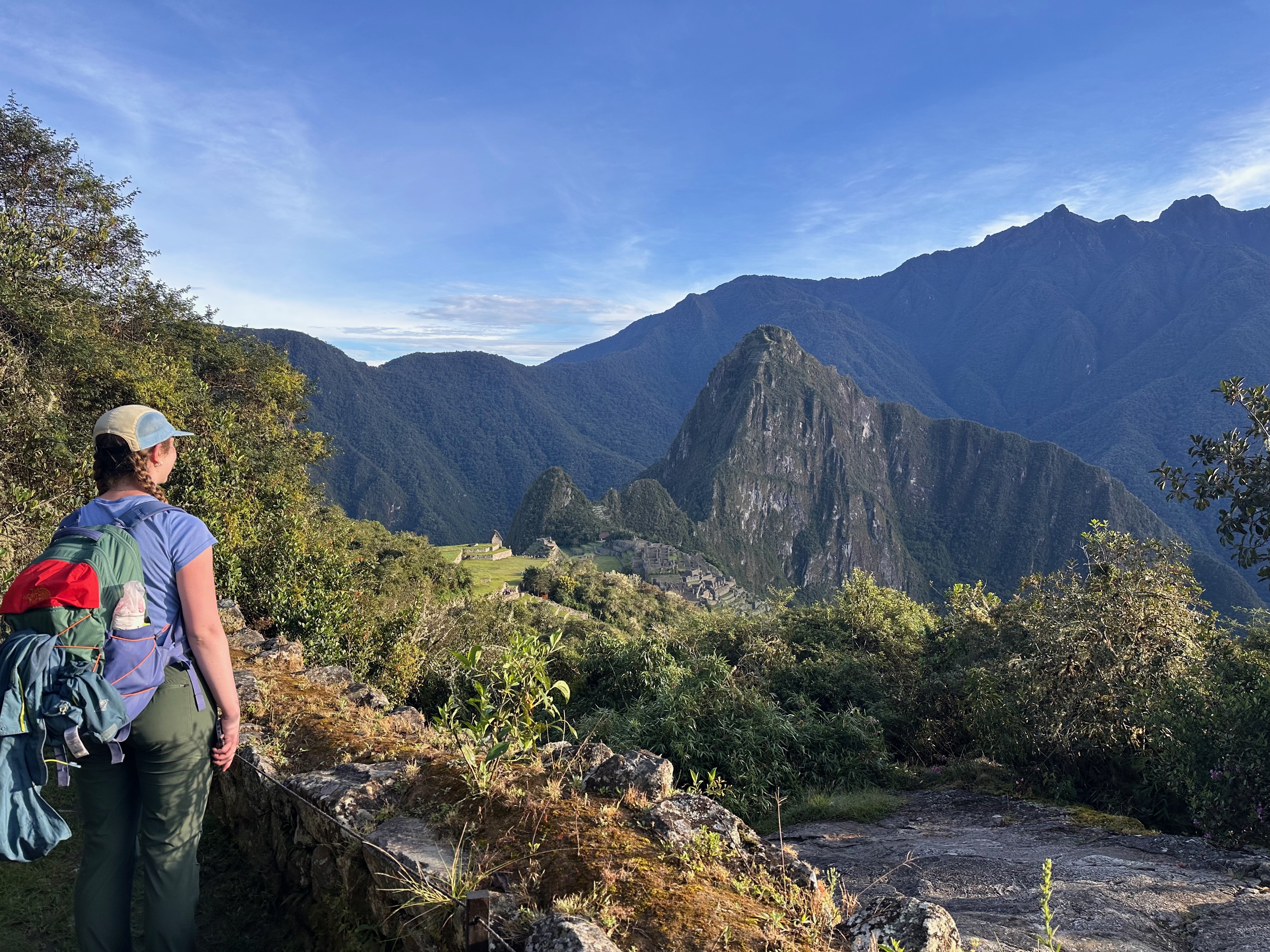
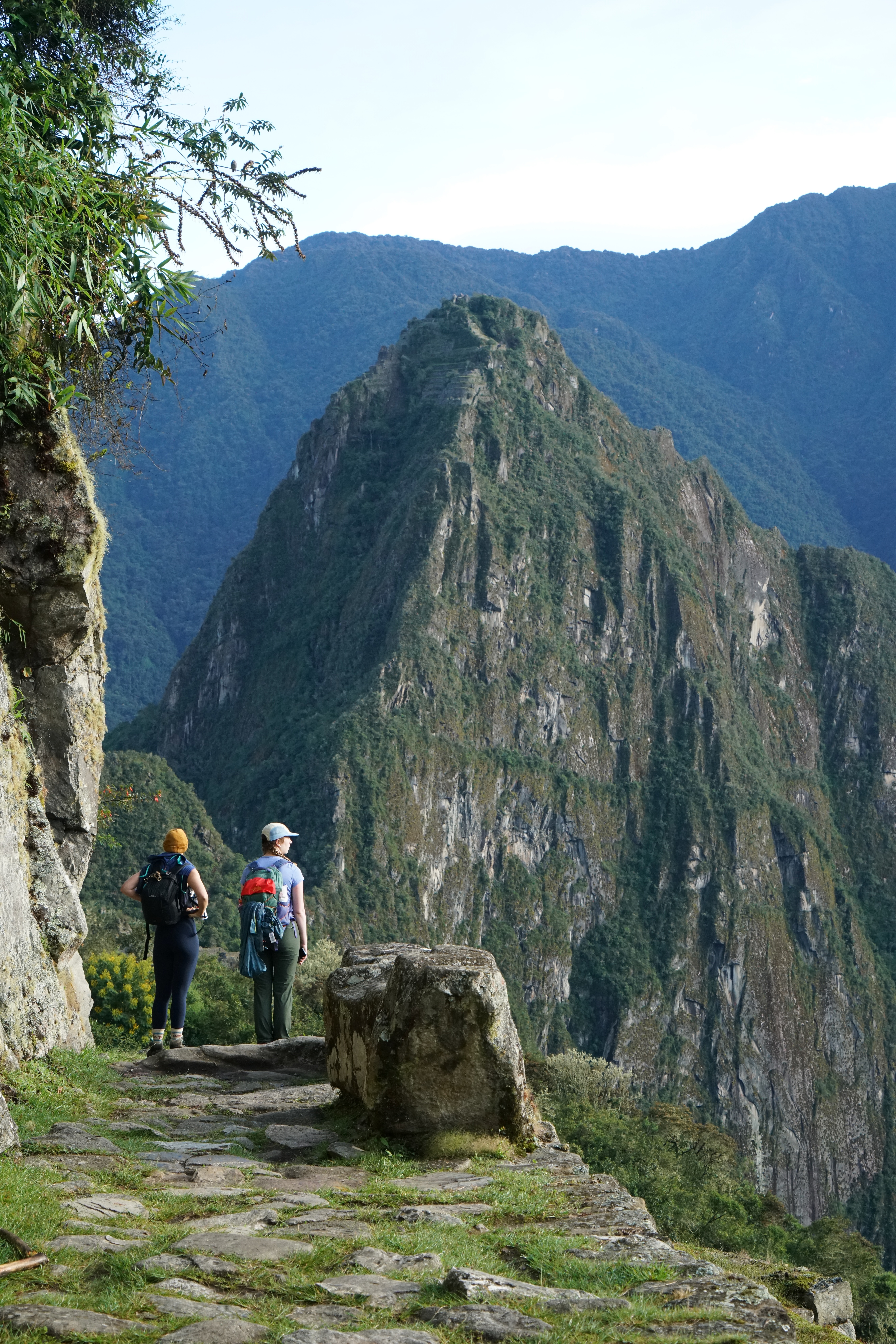
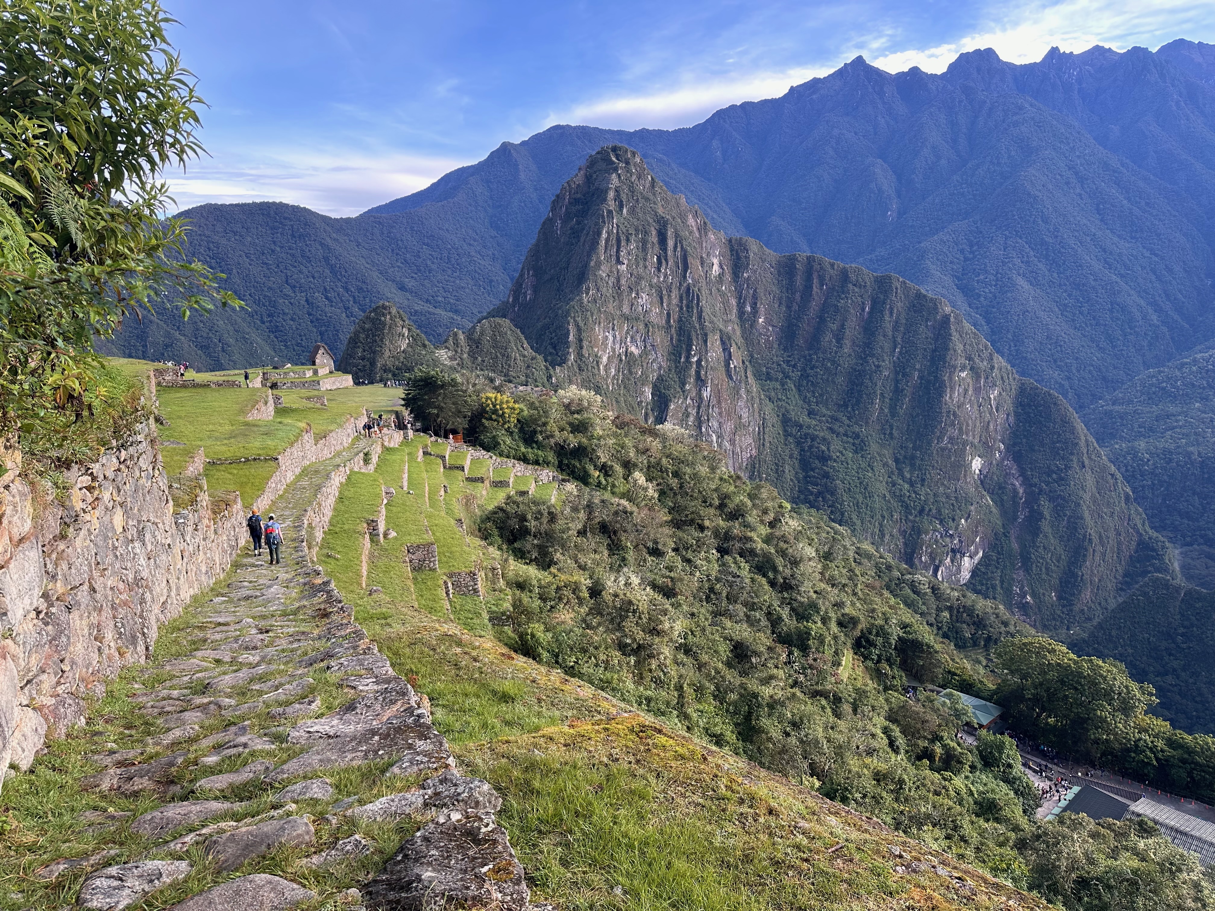
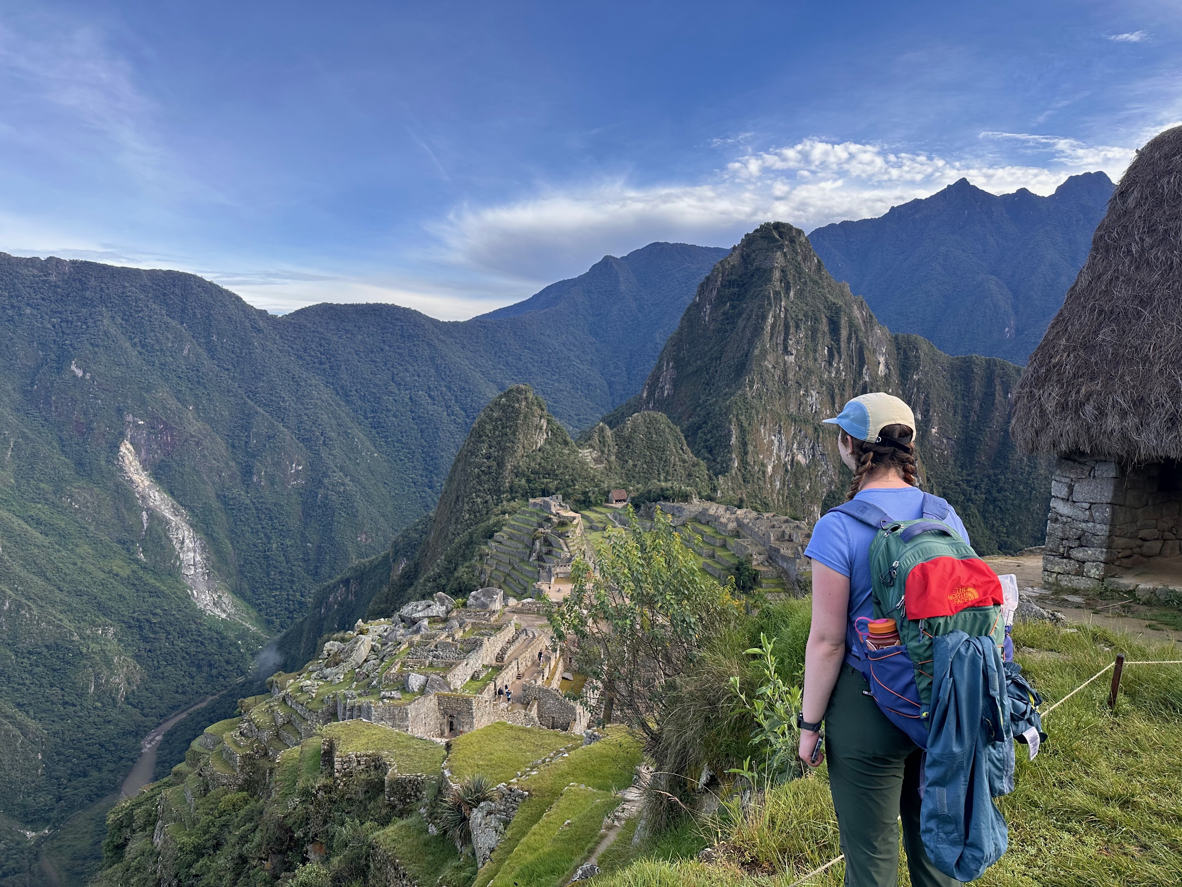
Eventually to (what we realized later was) the Sun Gate we arrived.
It was already becoming pretty crowded and Machu Picchu was, well, just there, so we continued on down.
It was then that the benefits of Thea’s hustle (and chutzpah) became evident. We had the benefit of at least half an hour (at what we learned was the Guard House and not the Sun Gate), almost on our own.
The light and stillness during this time was just magical.
It is a time and experience that will stay with me.
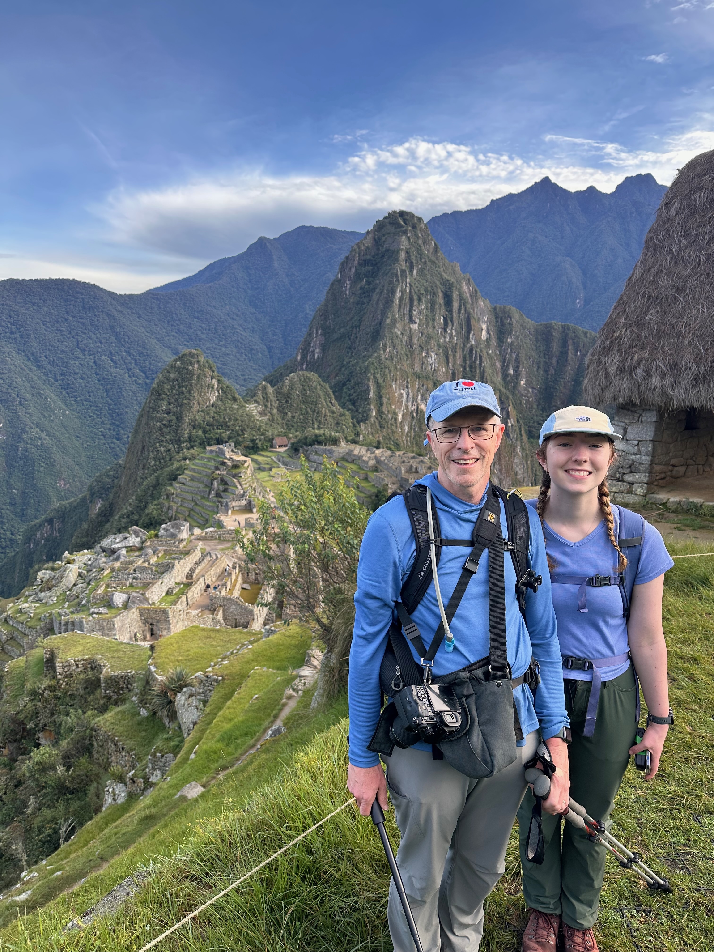
Why do I keep going on about the Sun Gate? Well we may or may have not been told to wait at said Sun Gate. We discovered this quite surreally when a random guide from another group turned to Jason and said, “Are you Jason?” To which he was handed a cell phone. On the other end was Wilson our guide asking, “Where are you?”
And thus we learned we weren’t at the Sun Gate.
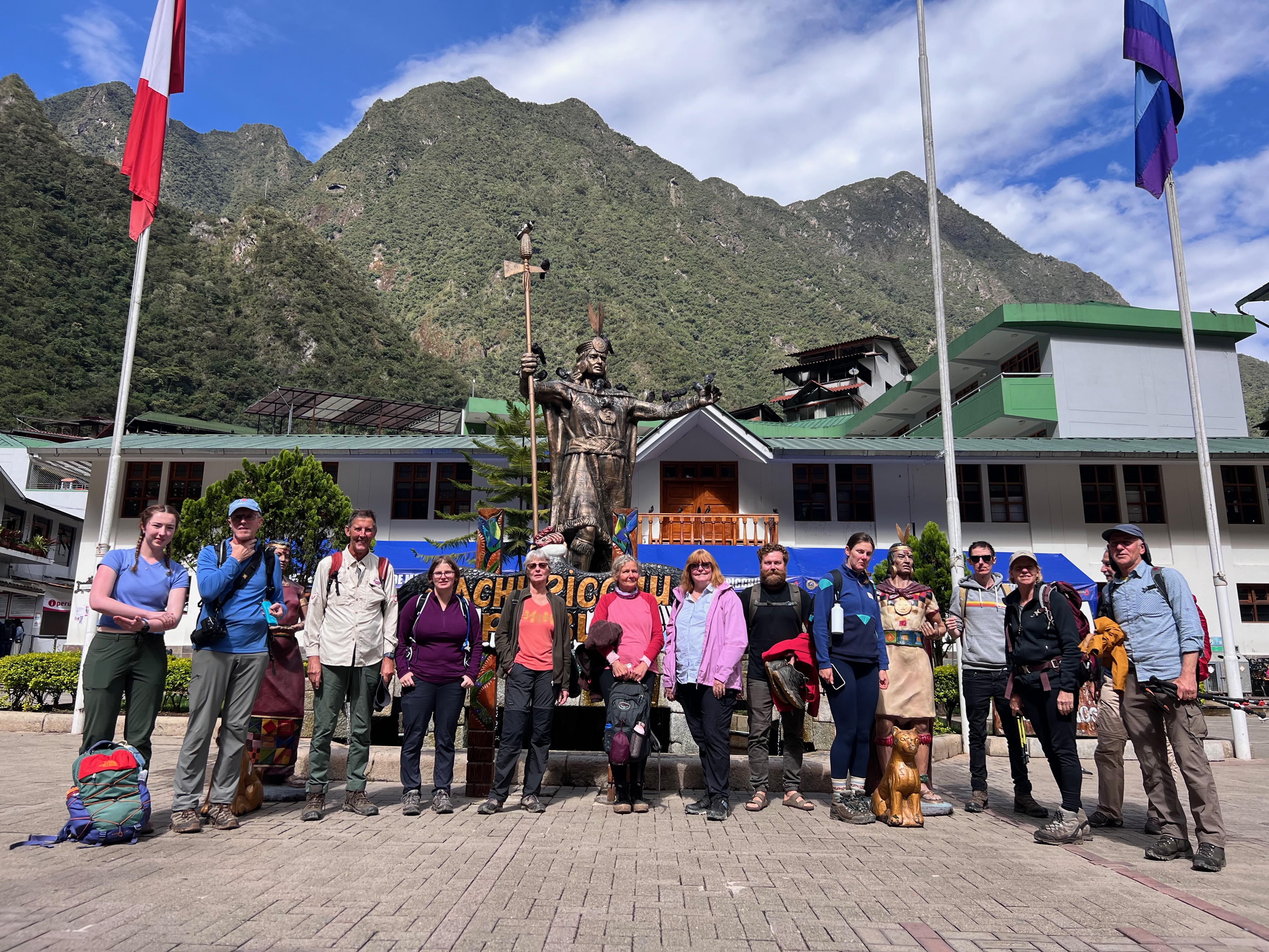
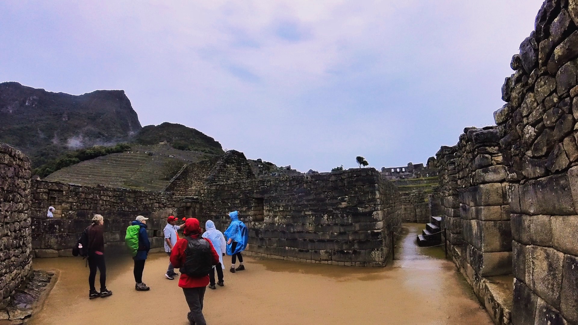
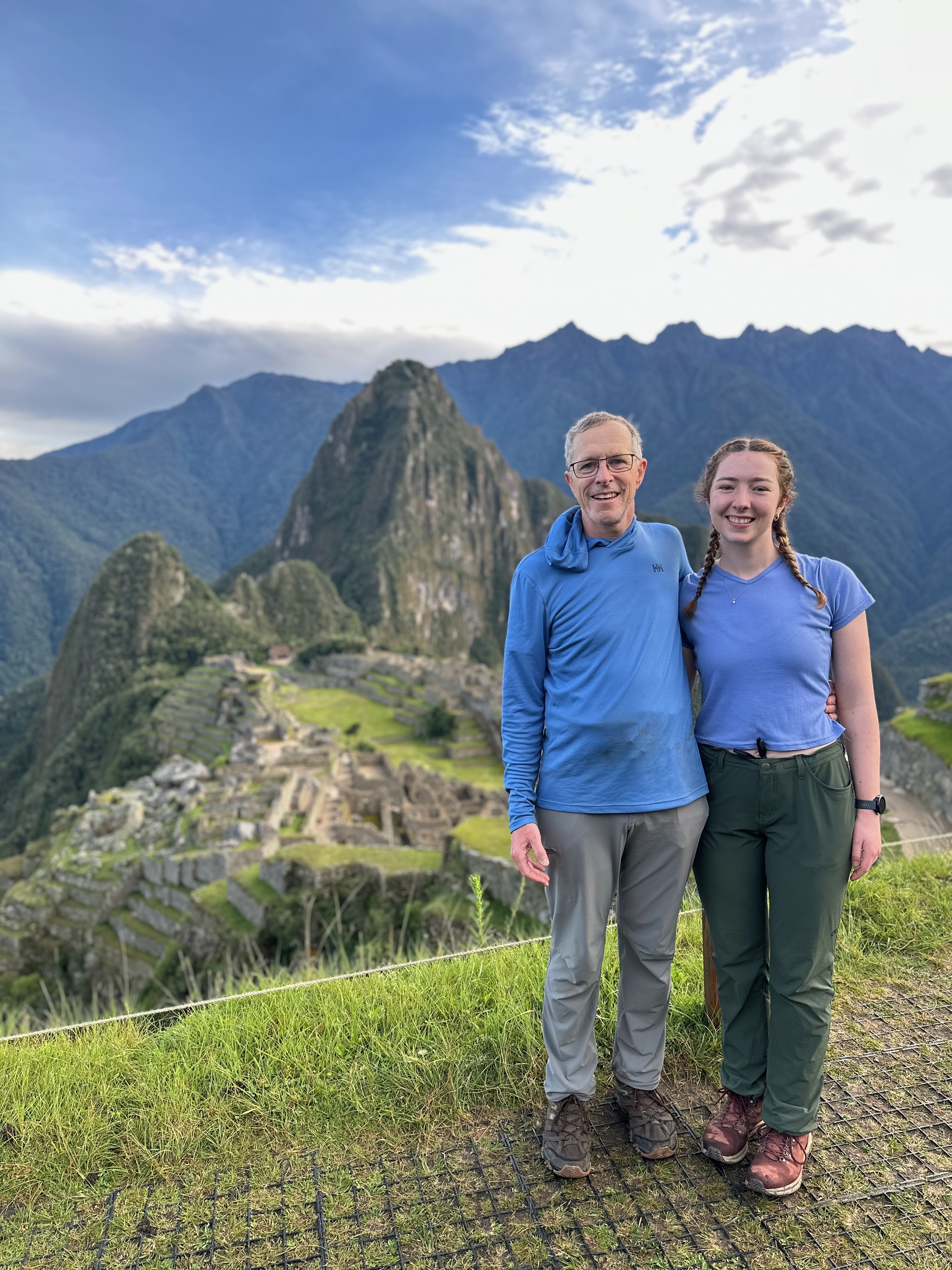
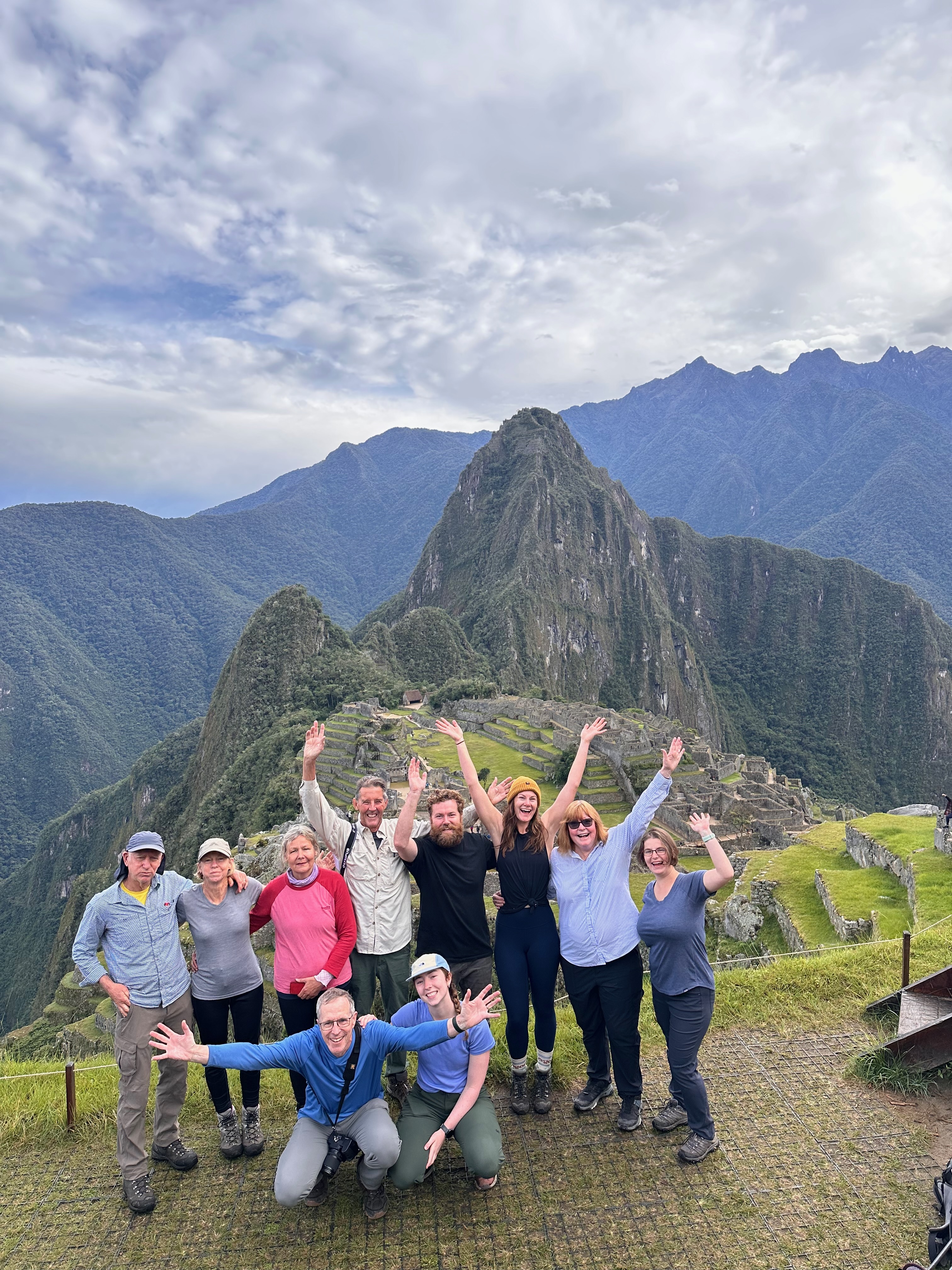
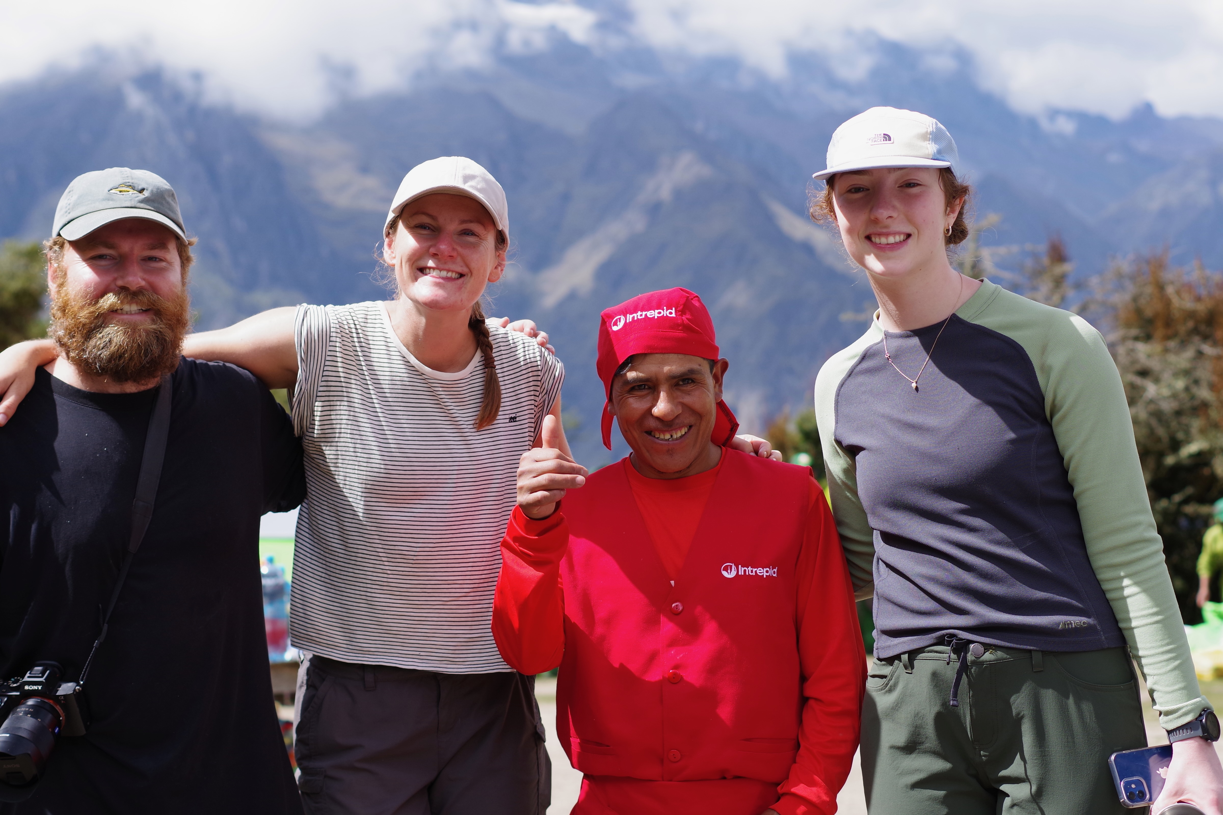
No harm done. The group photo happened soon after.
Yes this was also when we learned Machu Picchu has cell service.
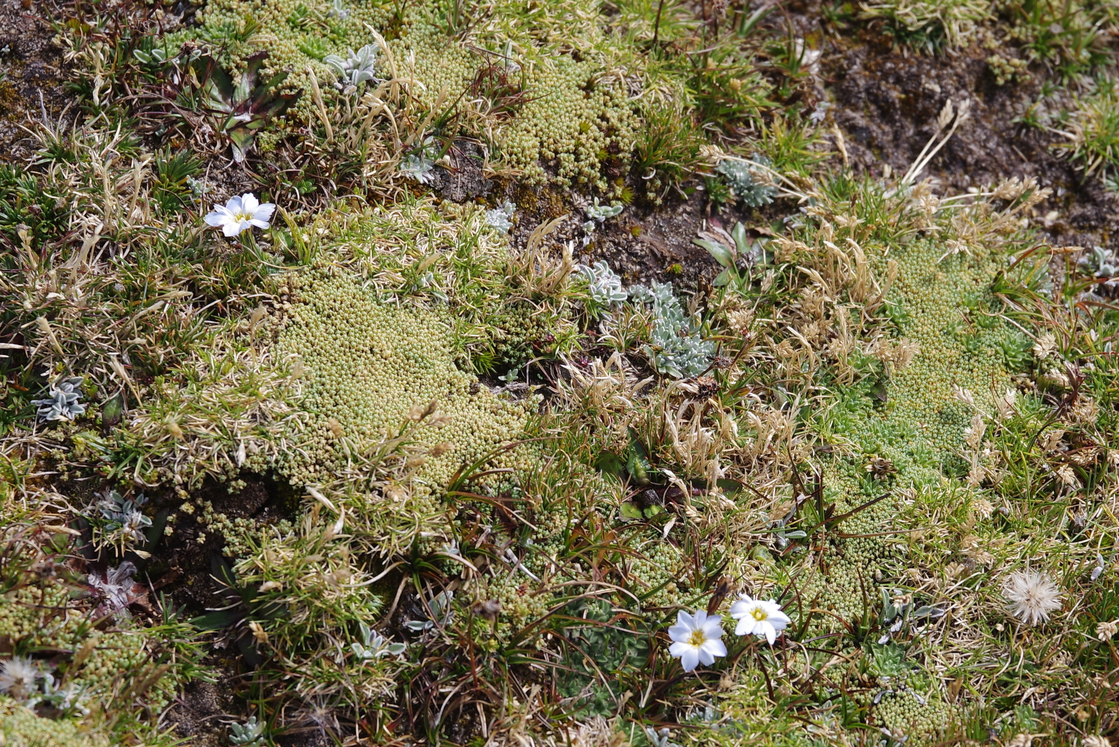
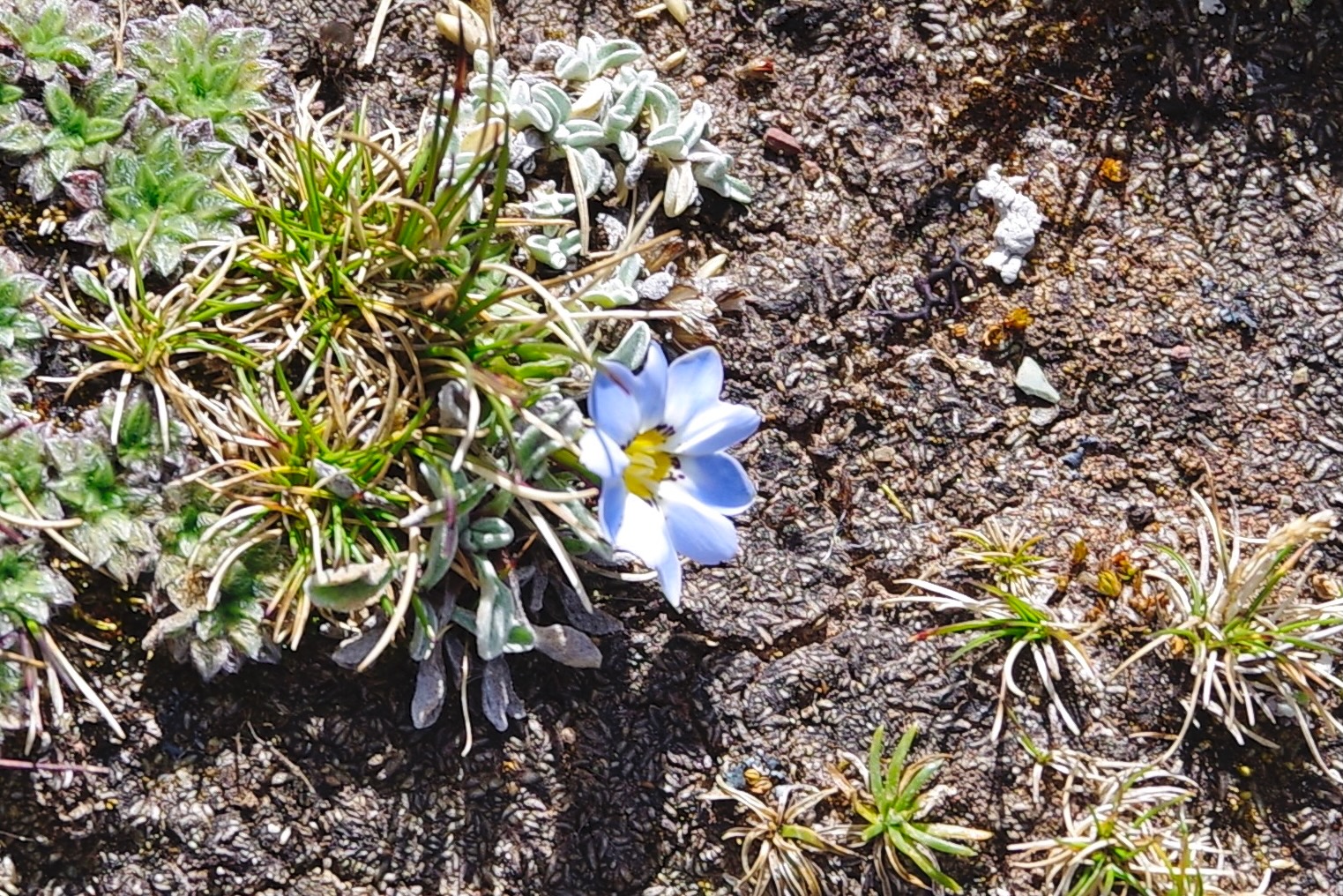
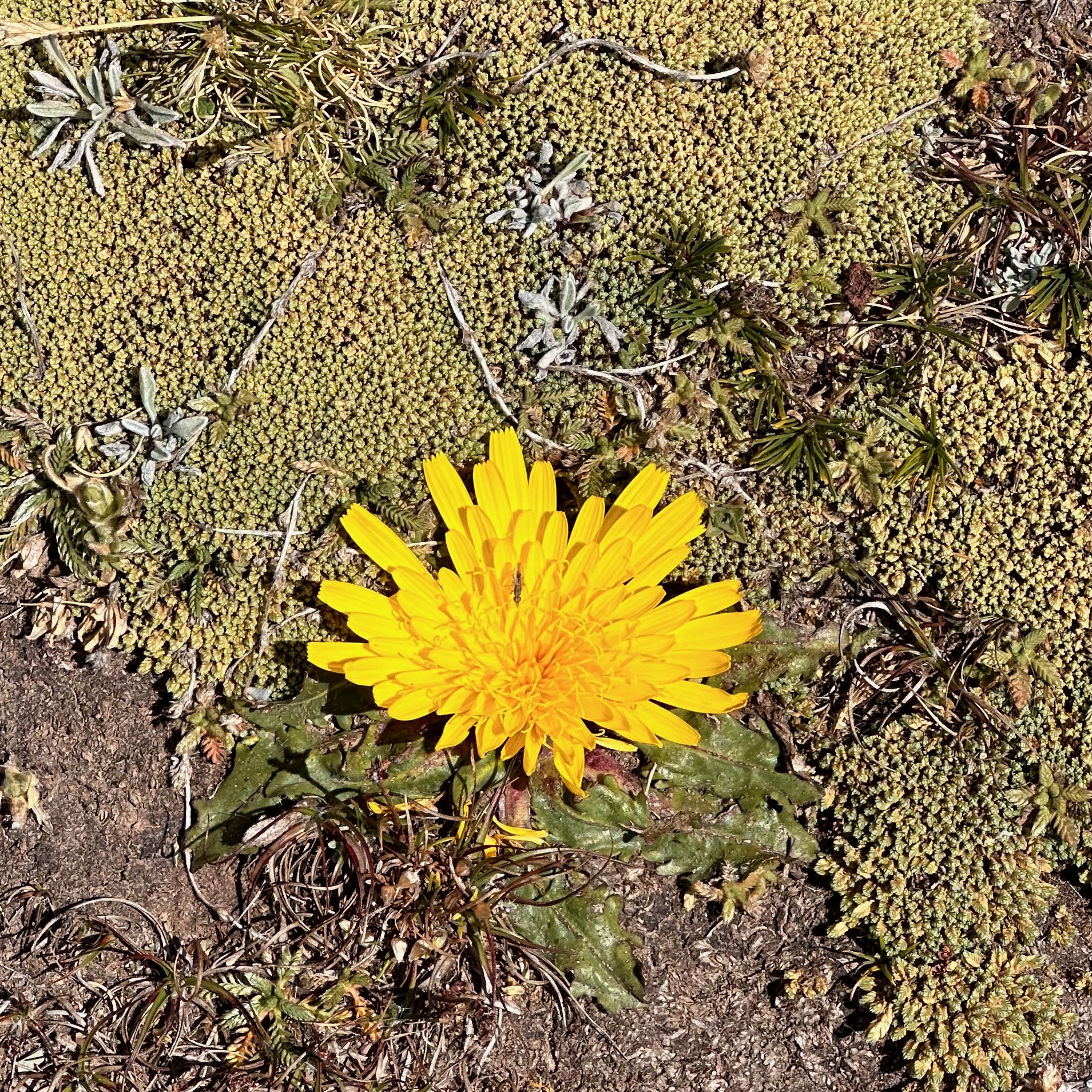
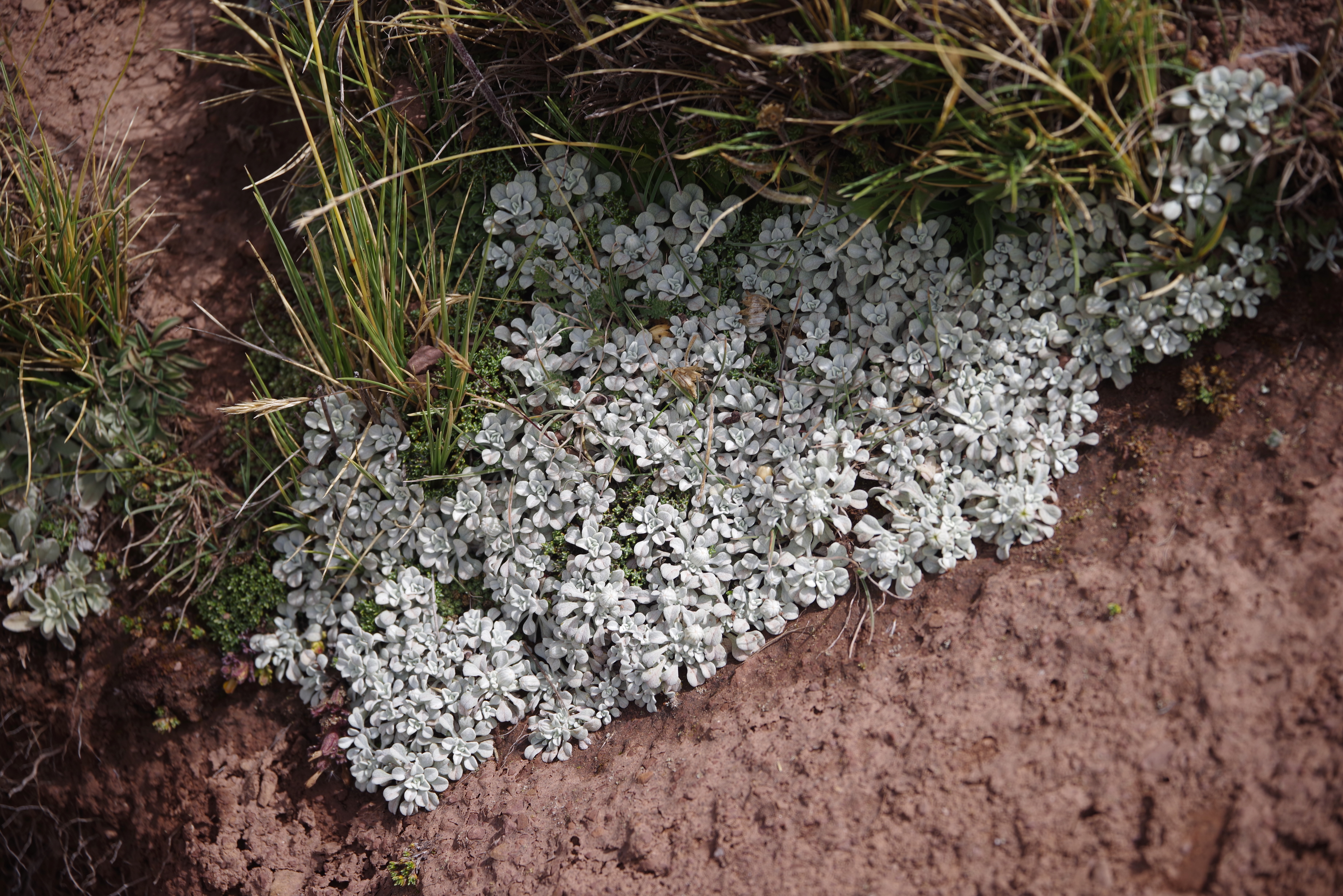
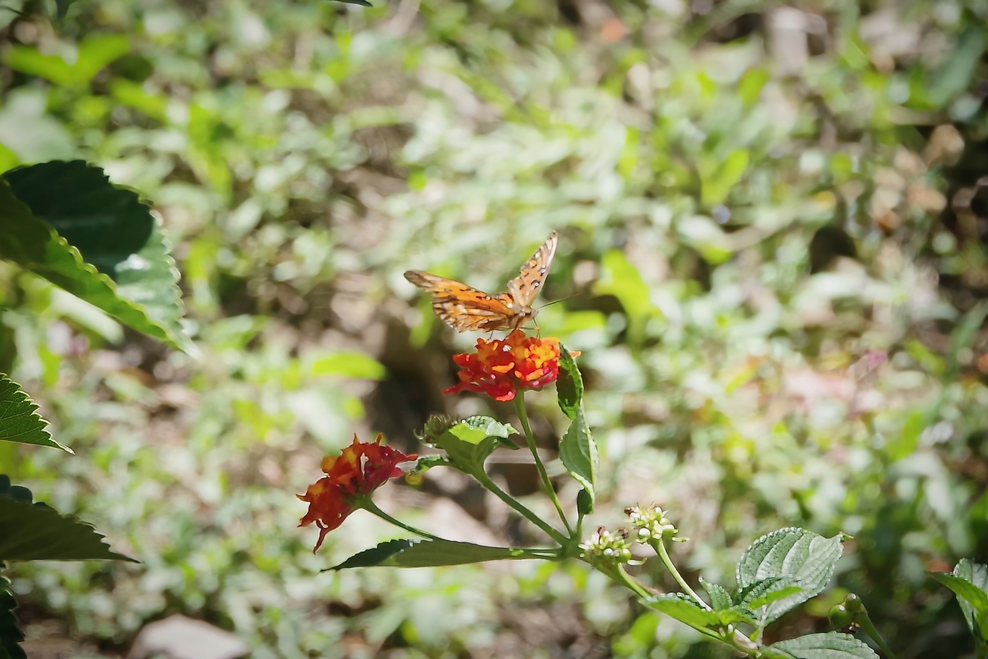
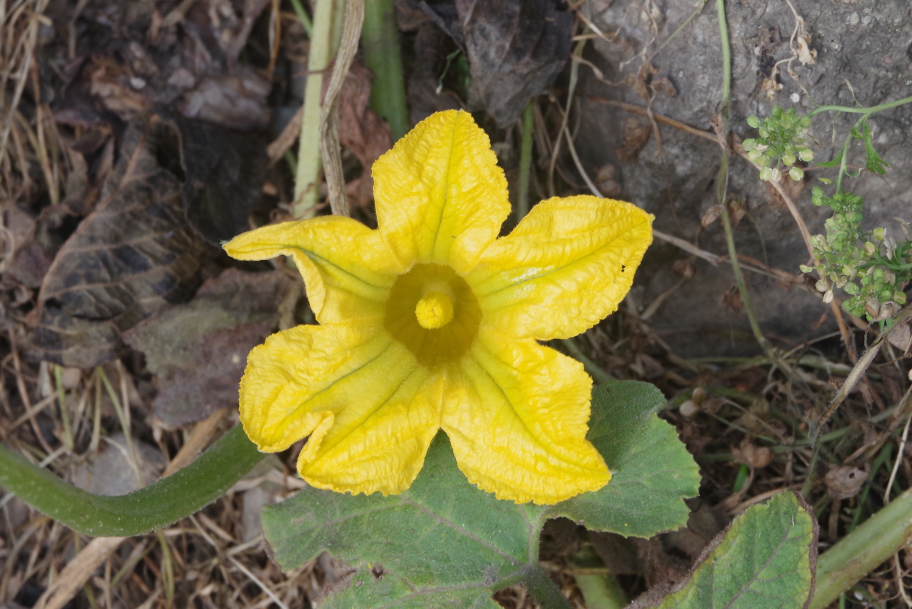
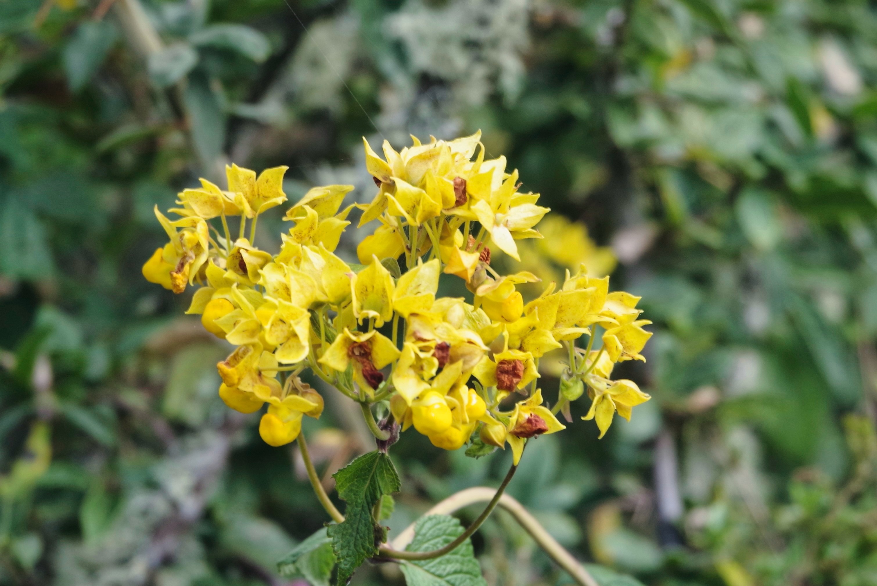
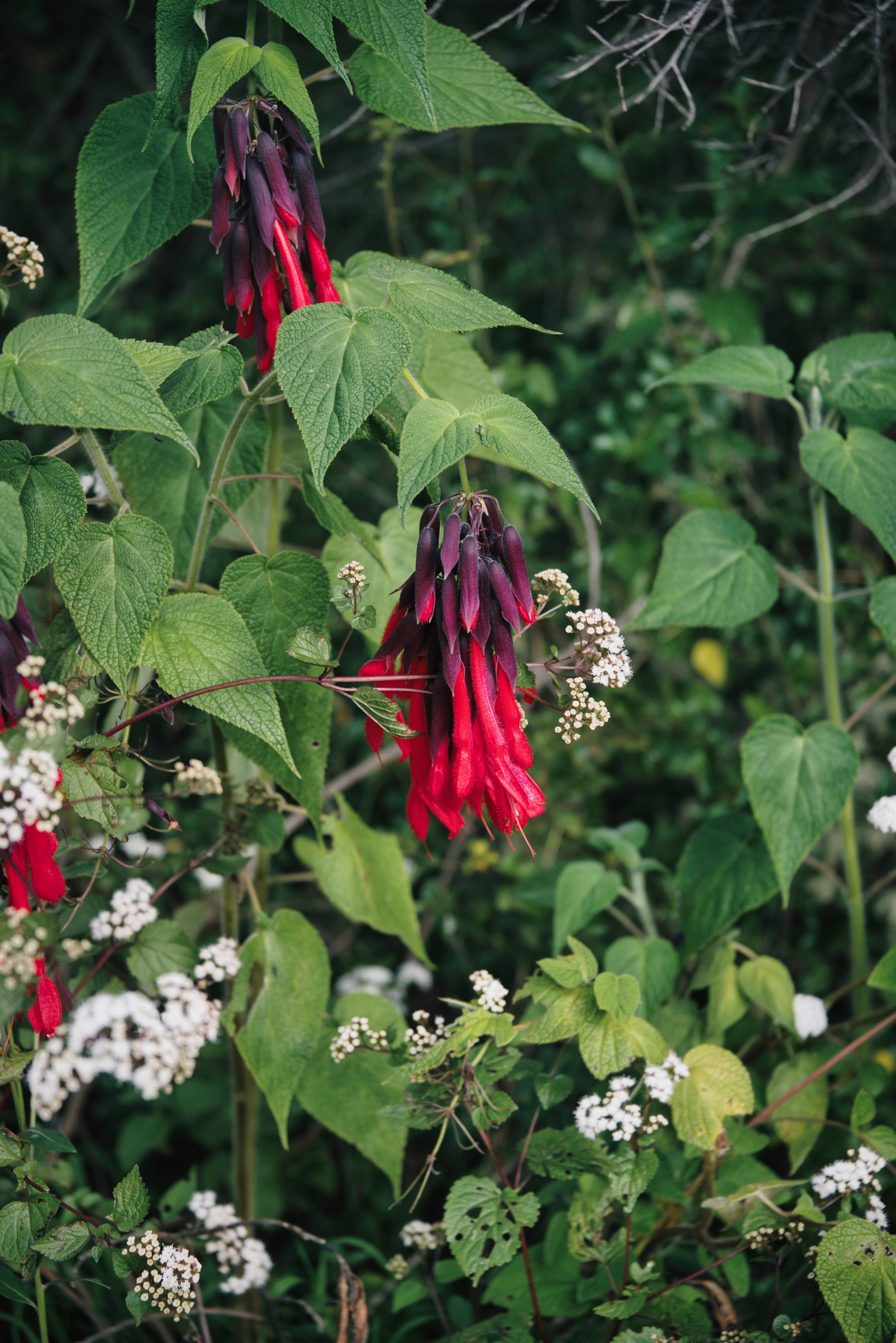
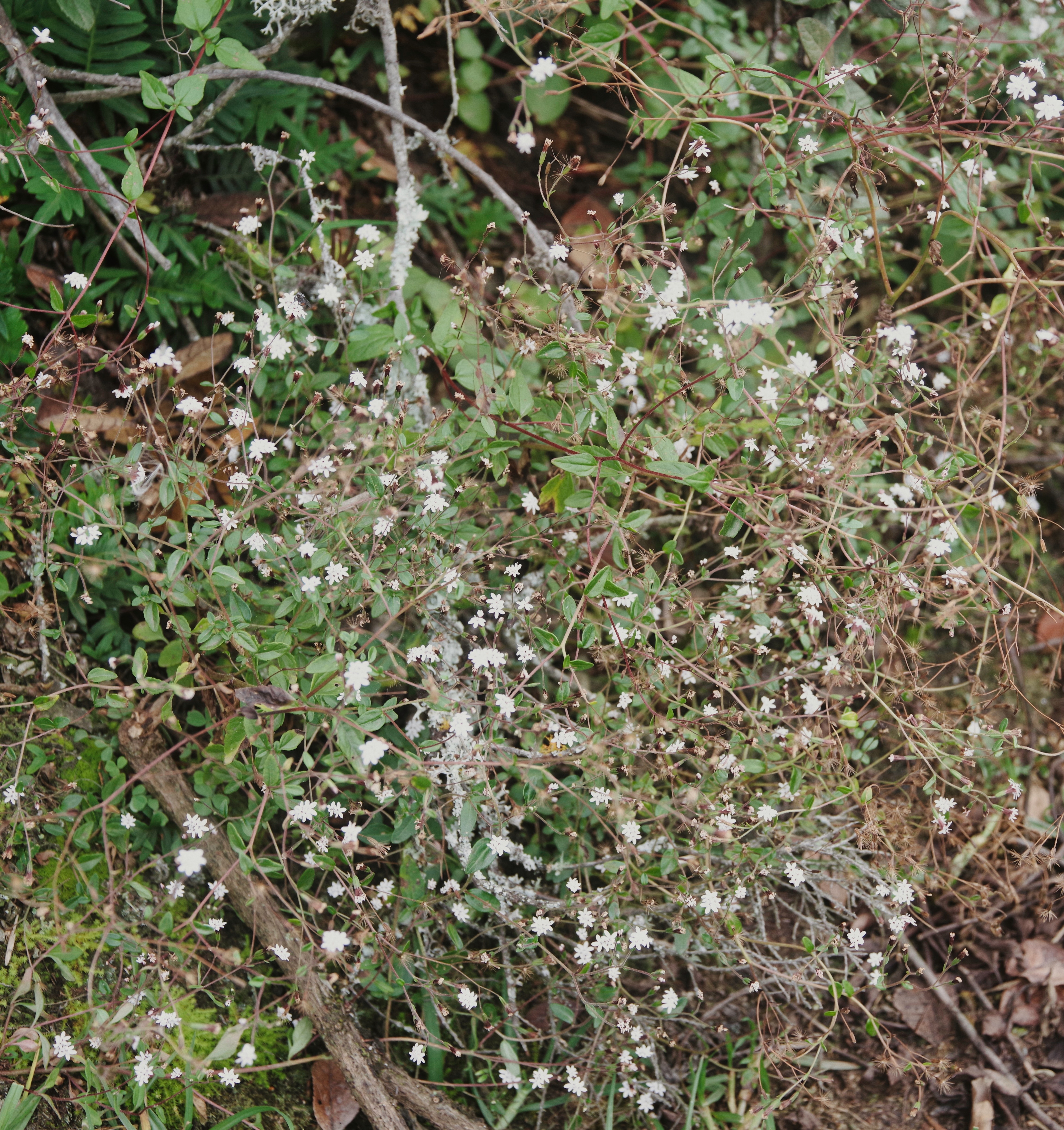
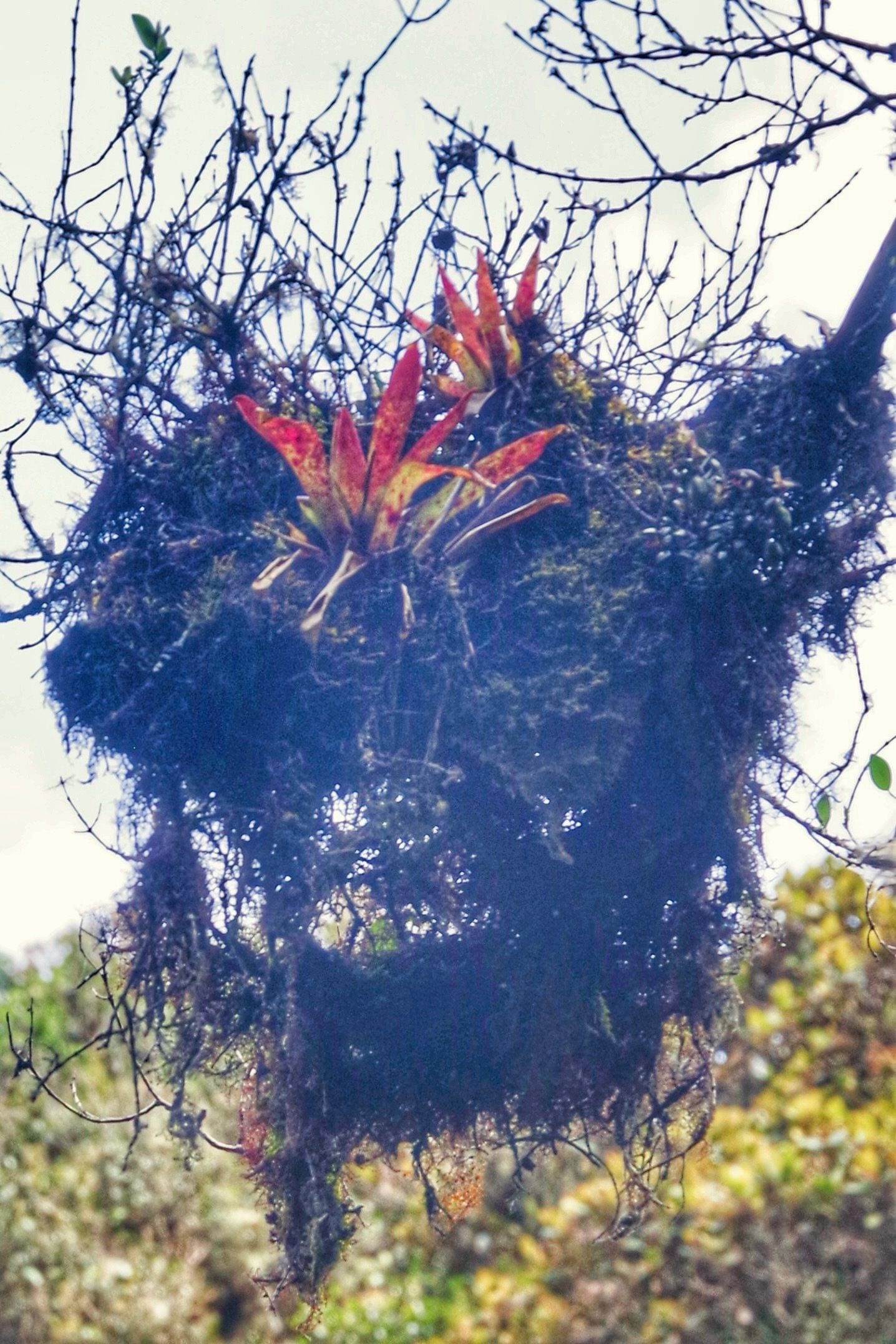
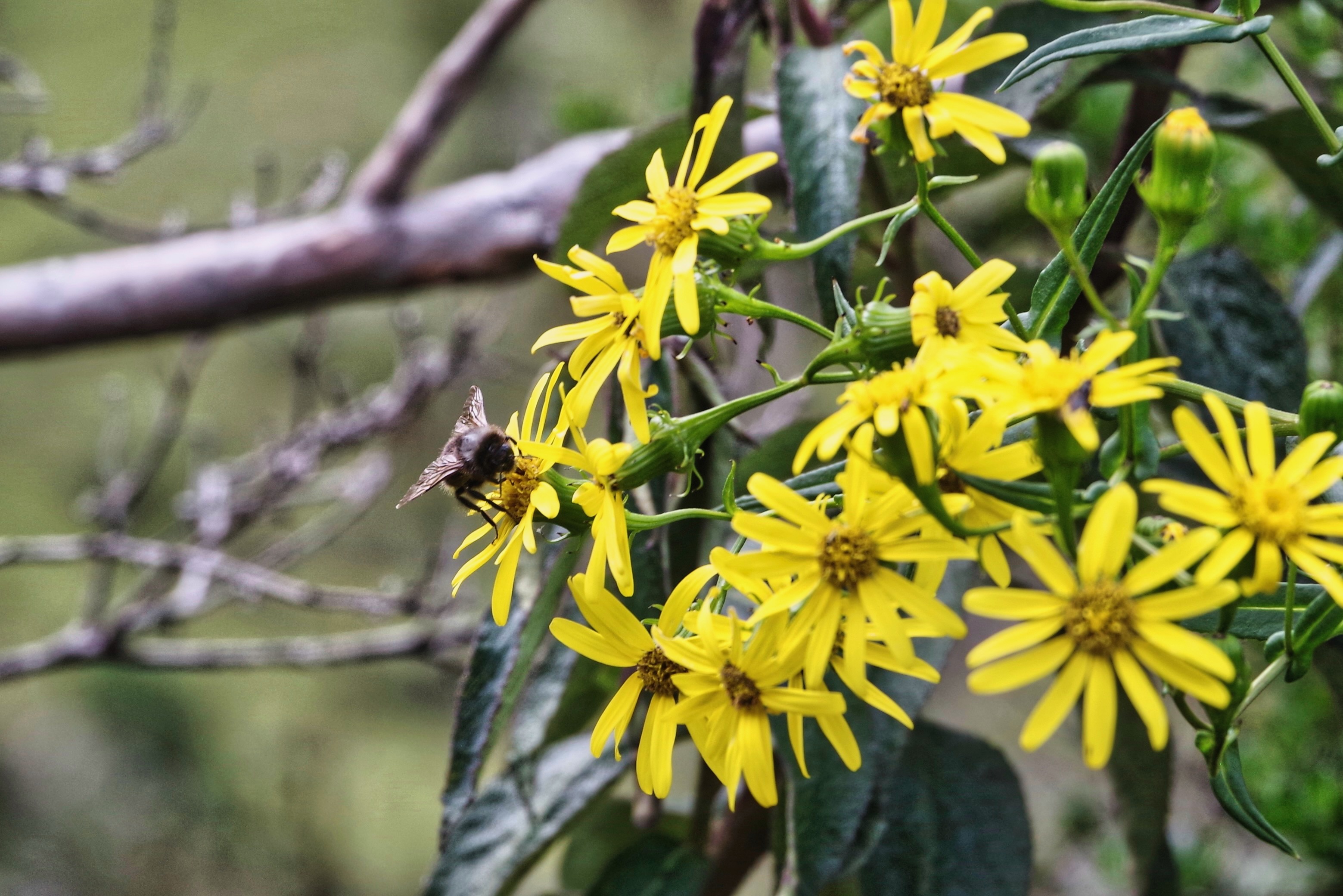
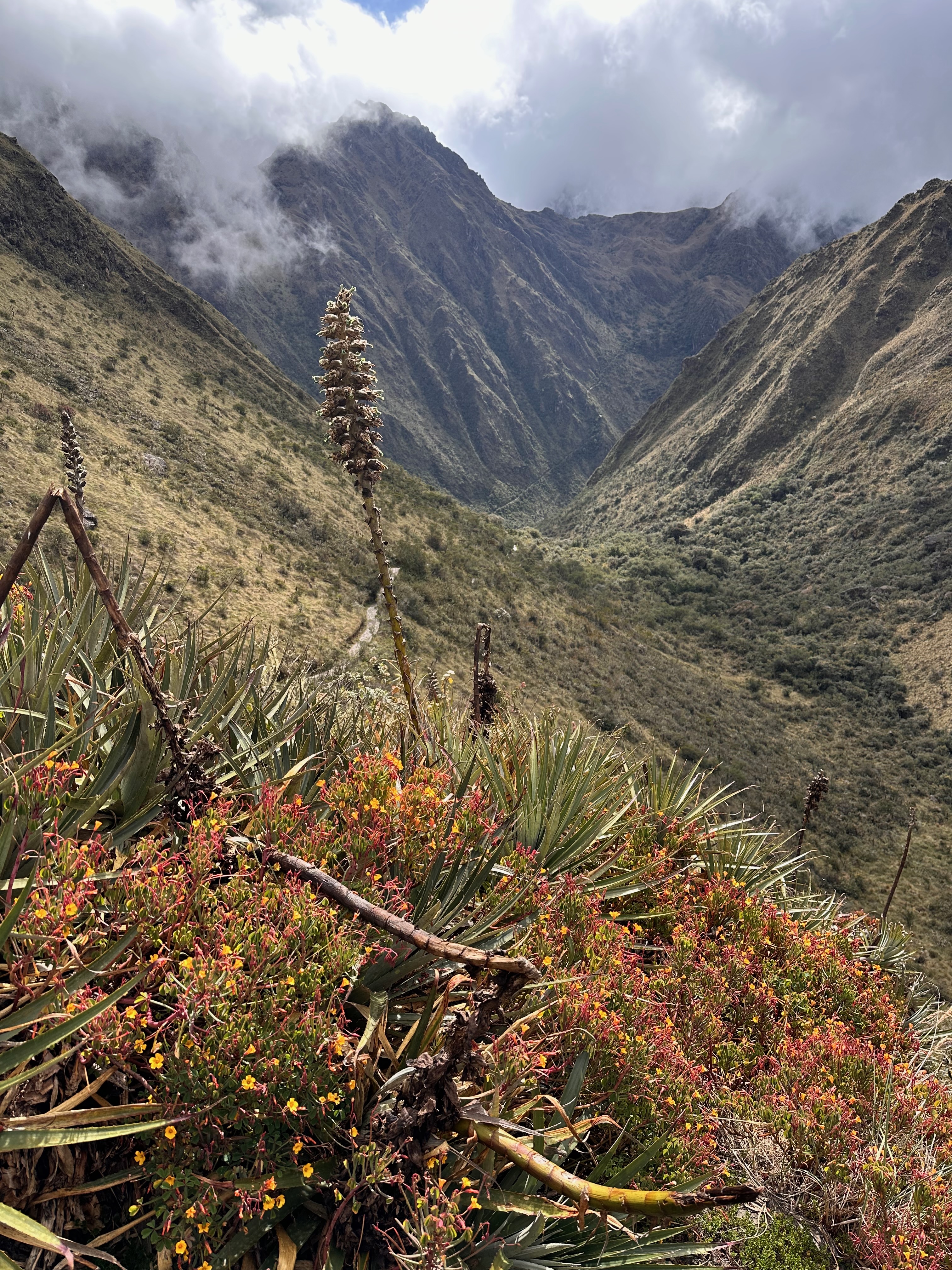
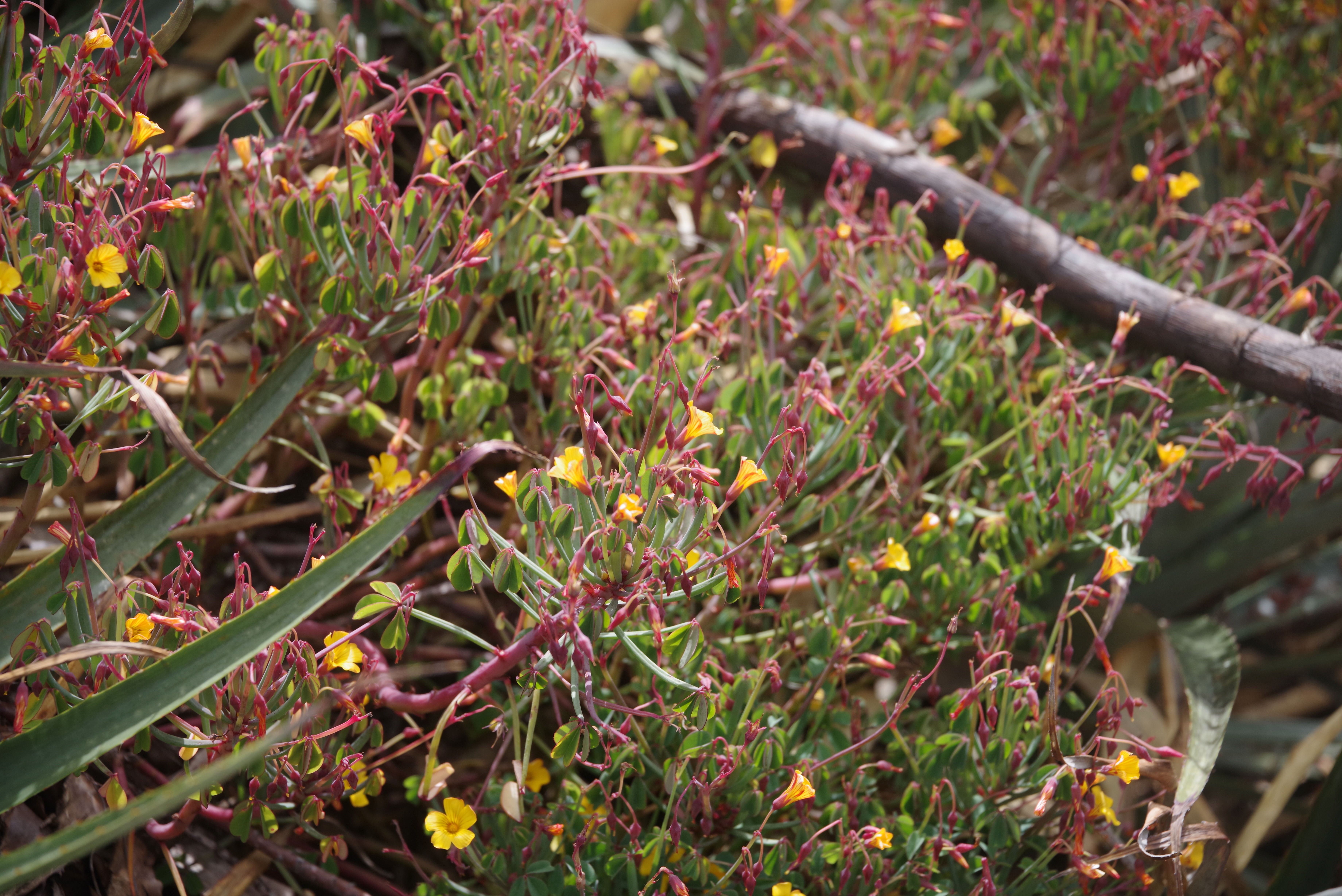
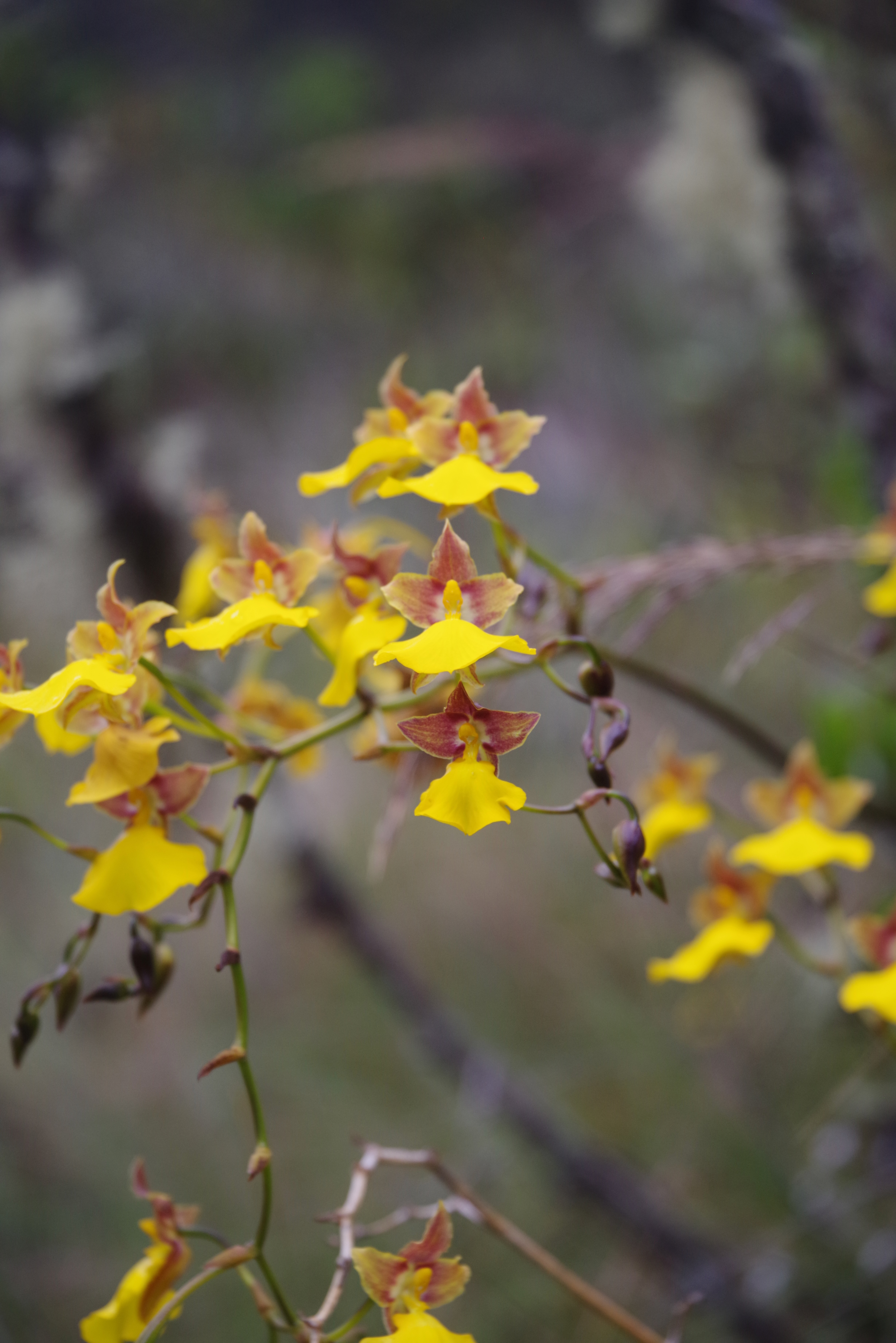
I have made mention of the wildflowers along the trail. Here is a sample.
Adrian was much better at spotting the orchids. I spied only this one type.
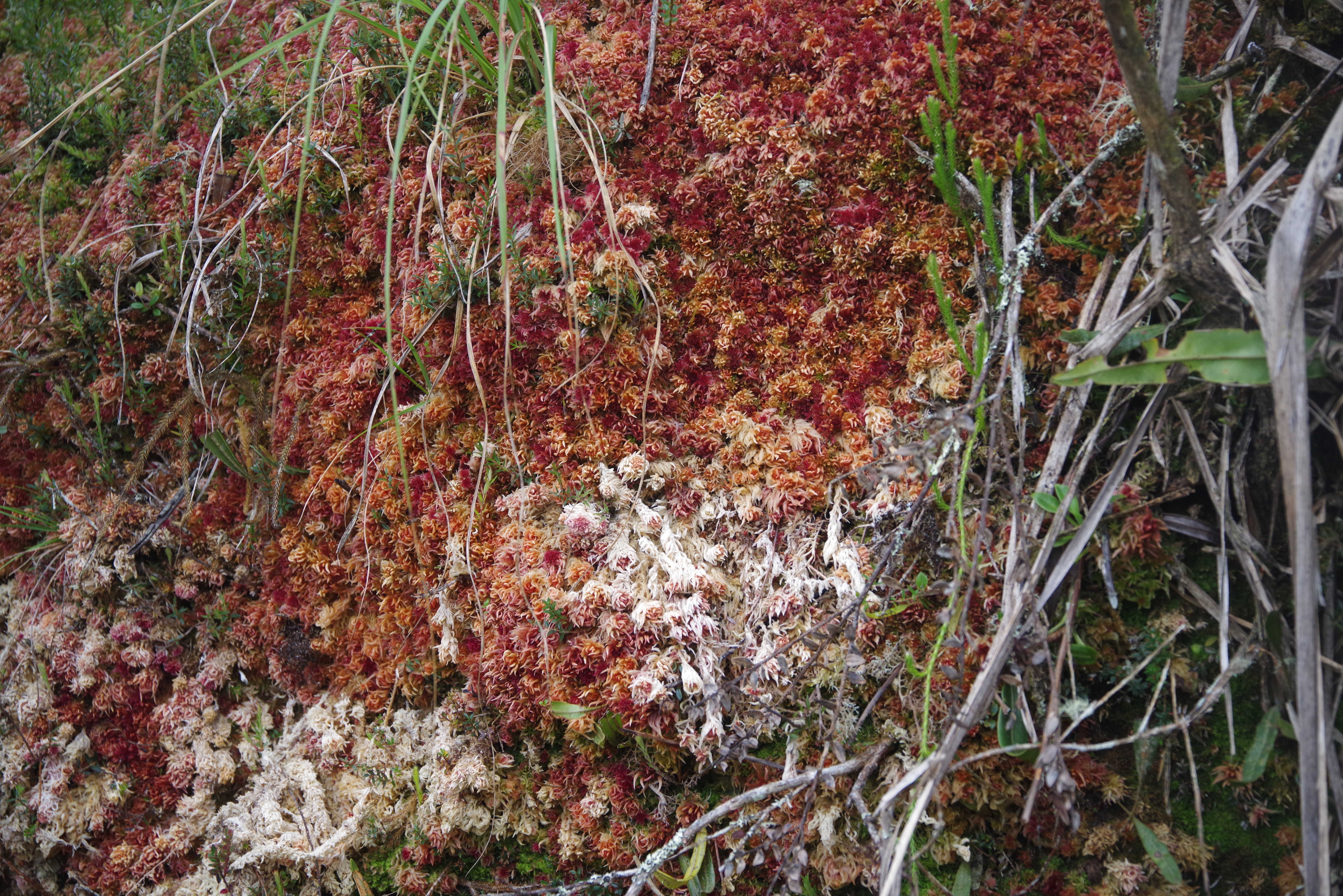
The moss is used as a source of water.
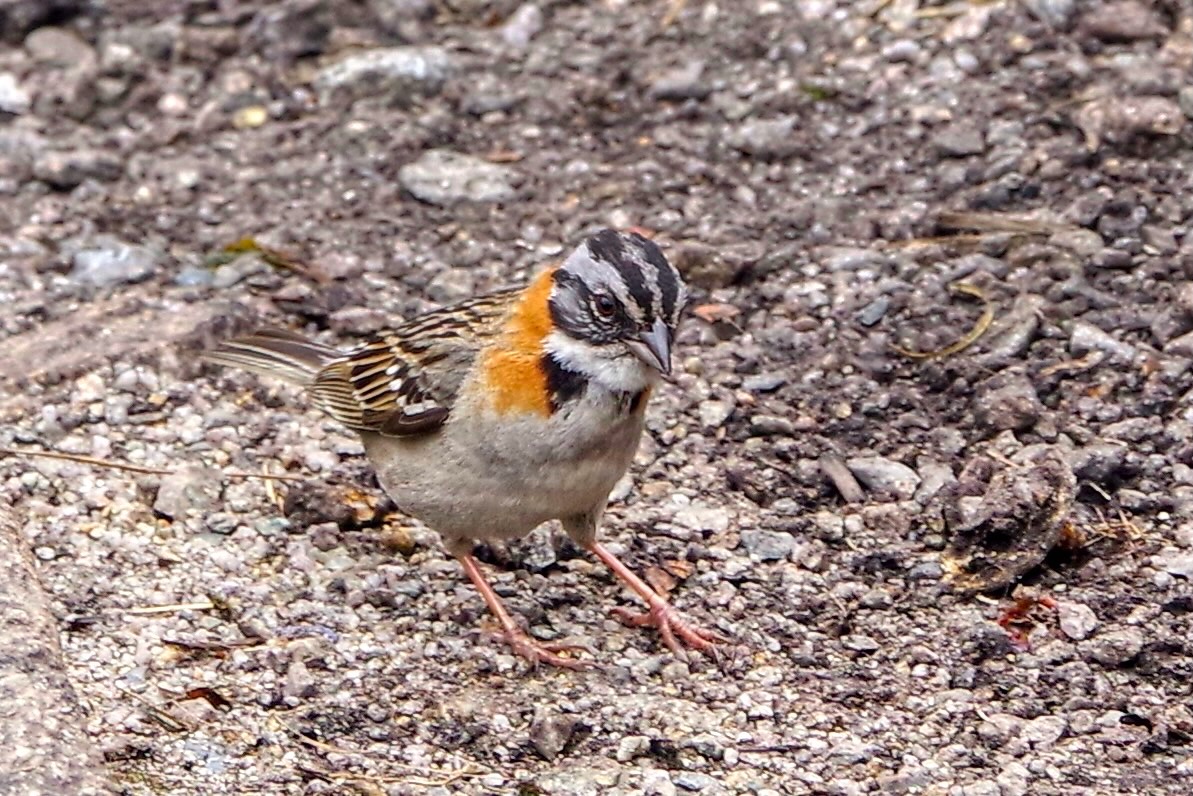
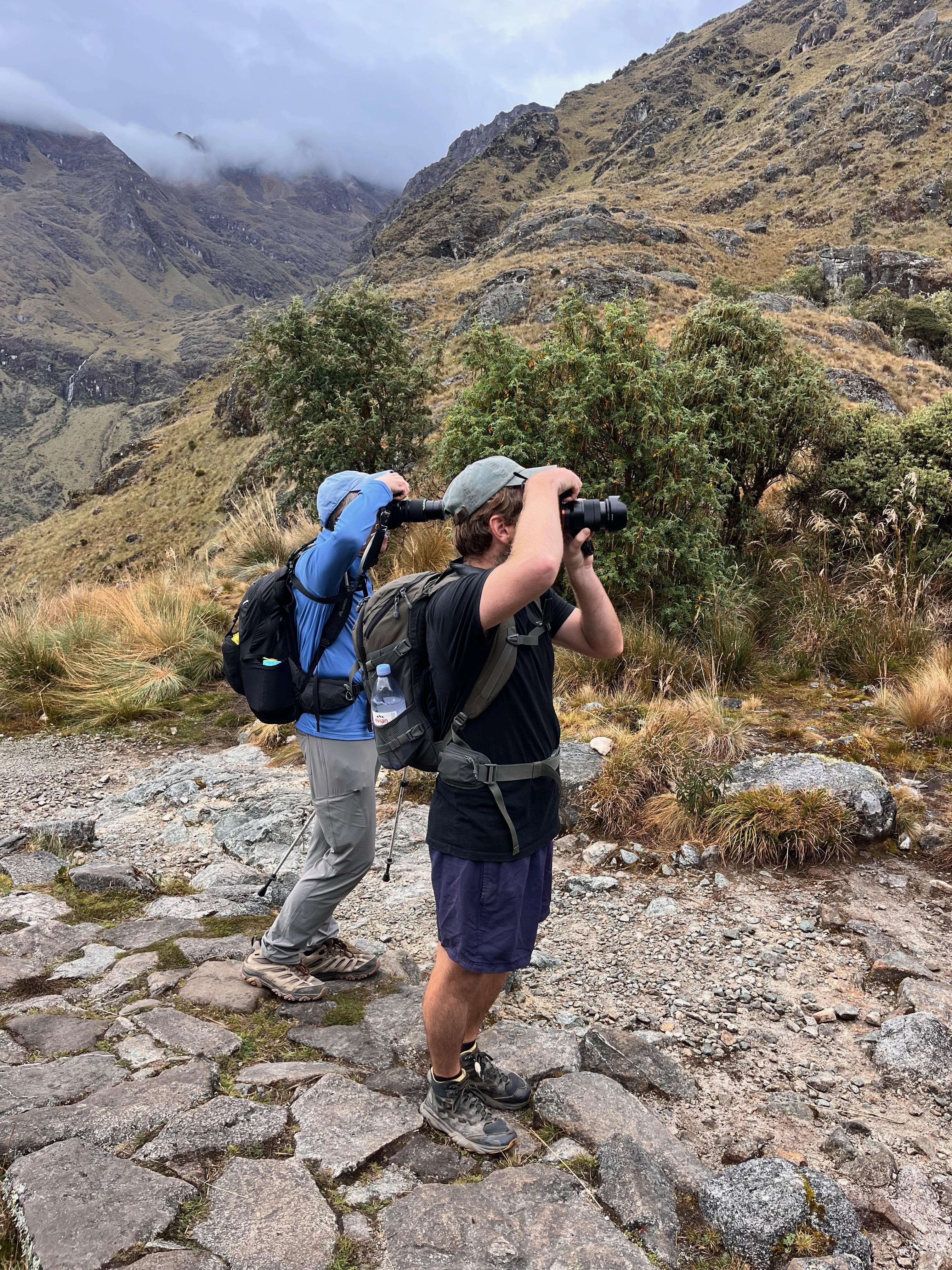
I included the rufous-collared swallow simply because I took so many photos trying to get a non blurry one as they flittered amongst the trees at Runqurakay Pass.
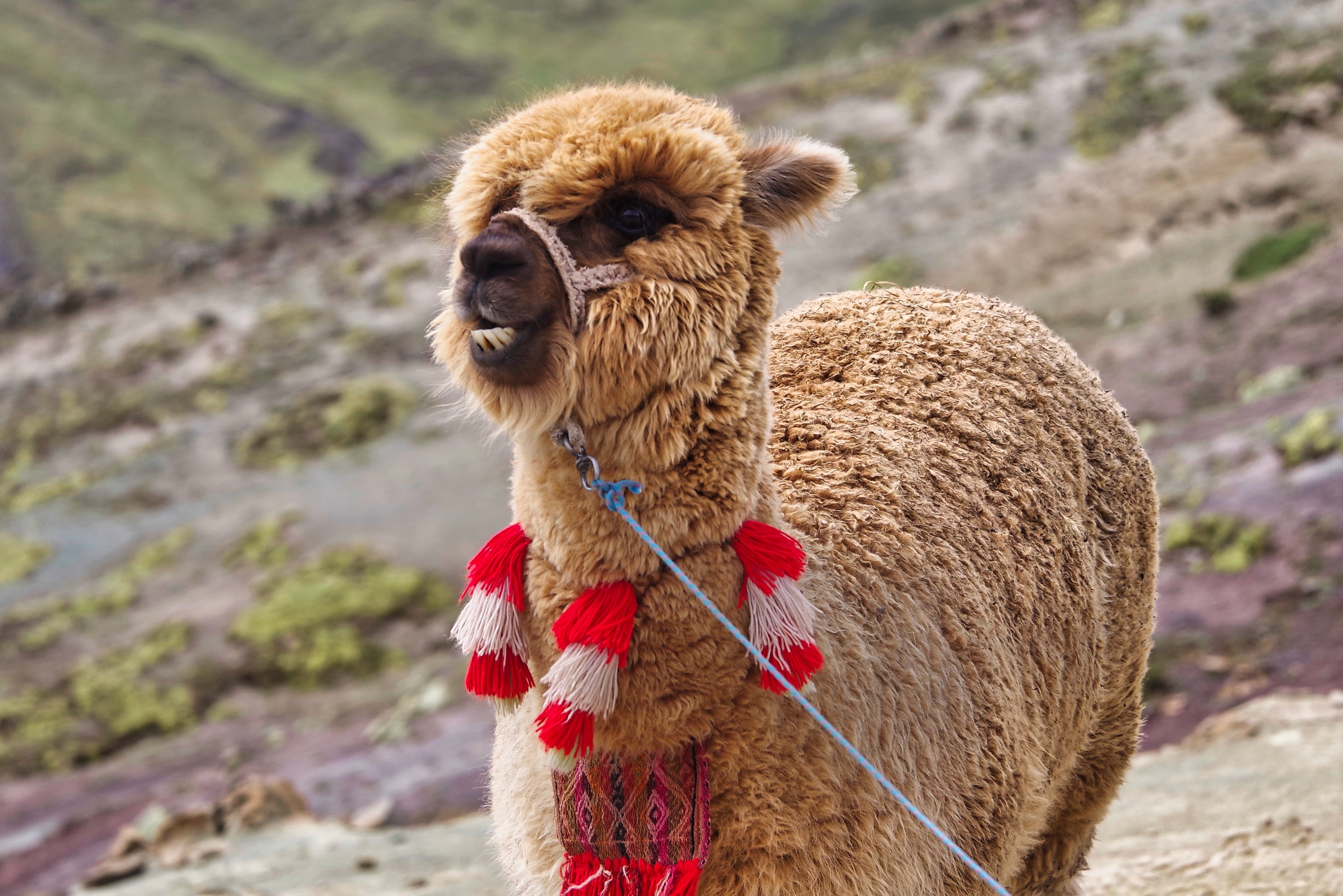
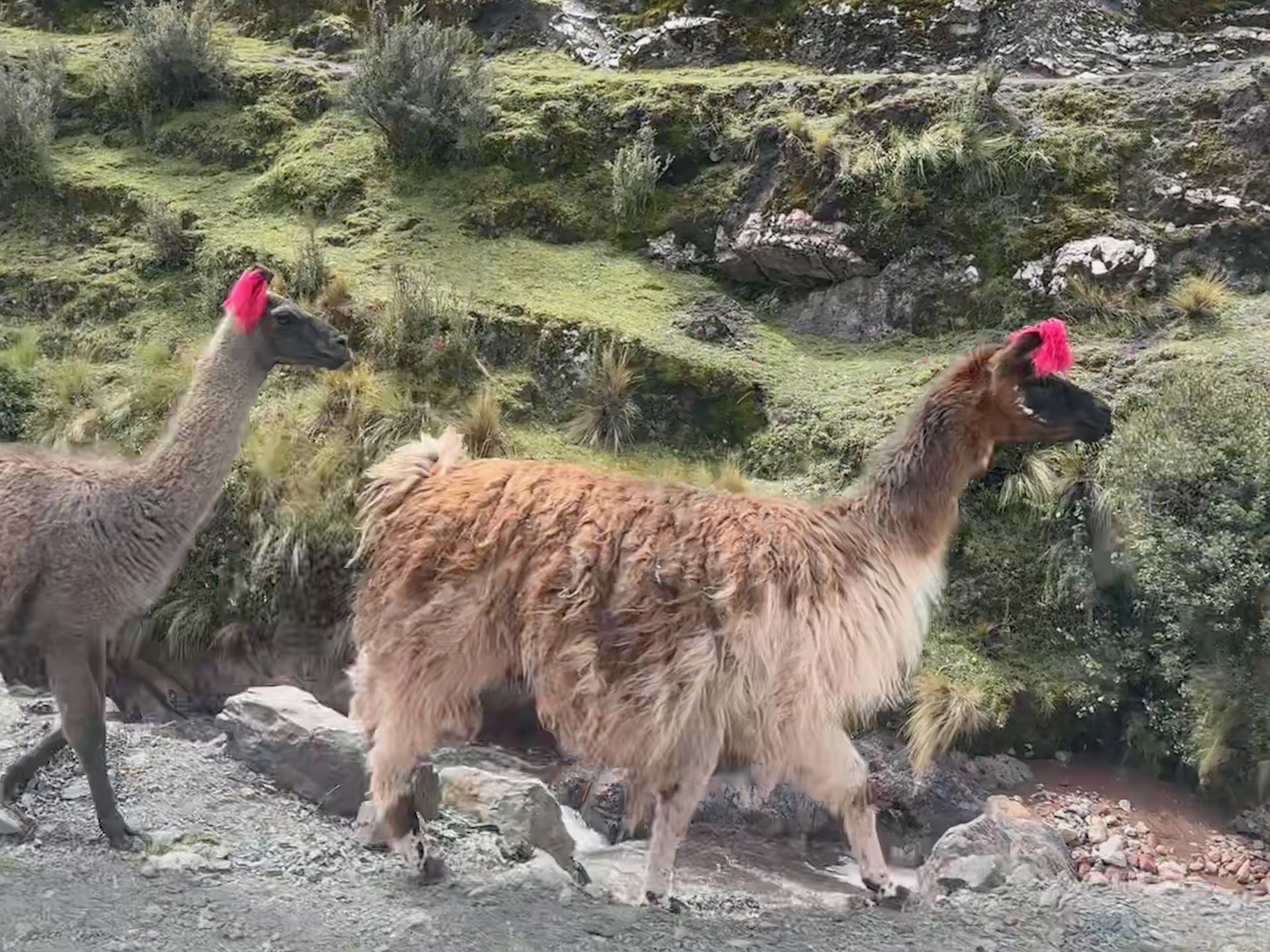
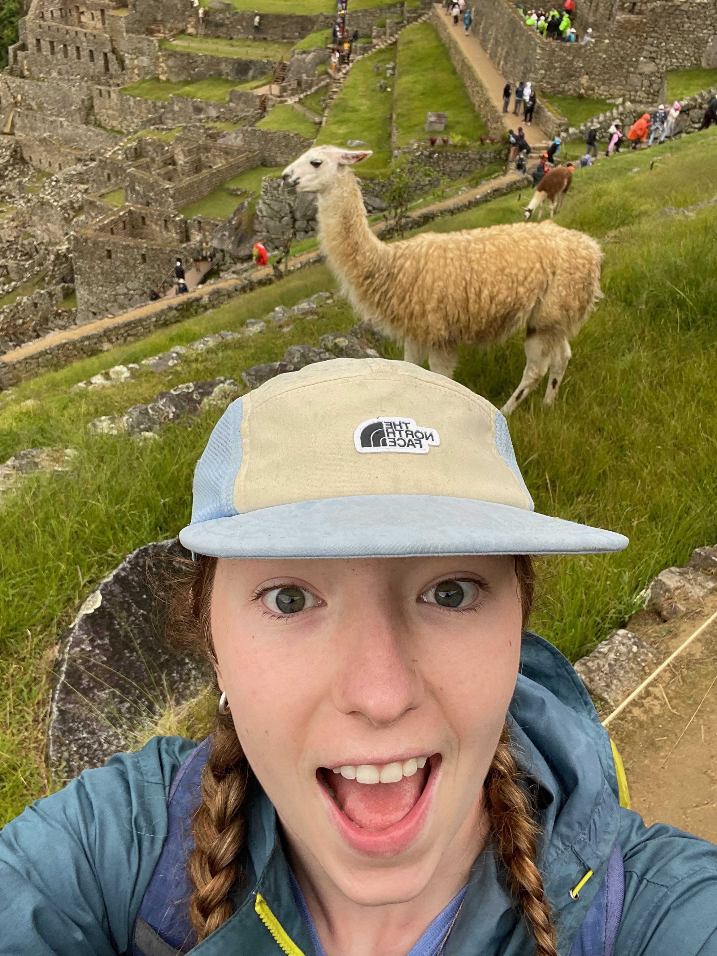
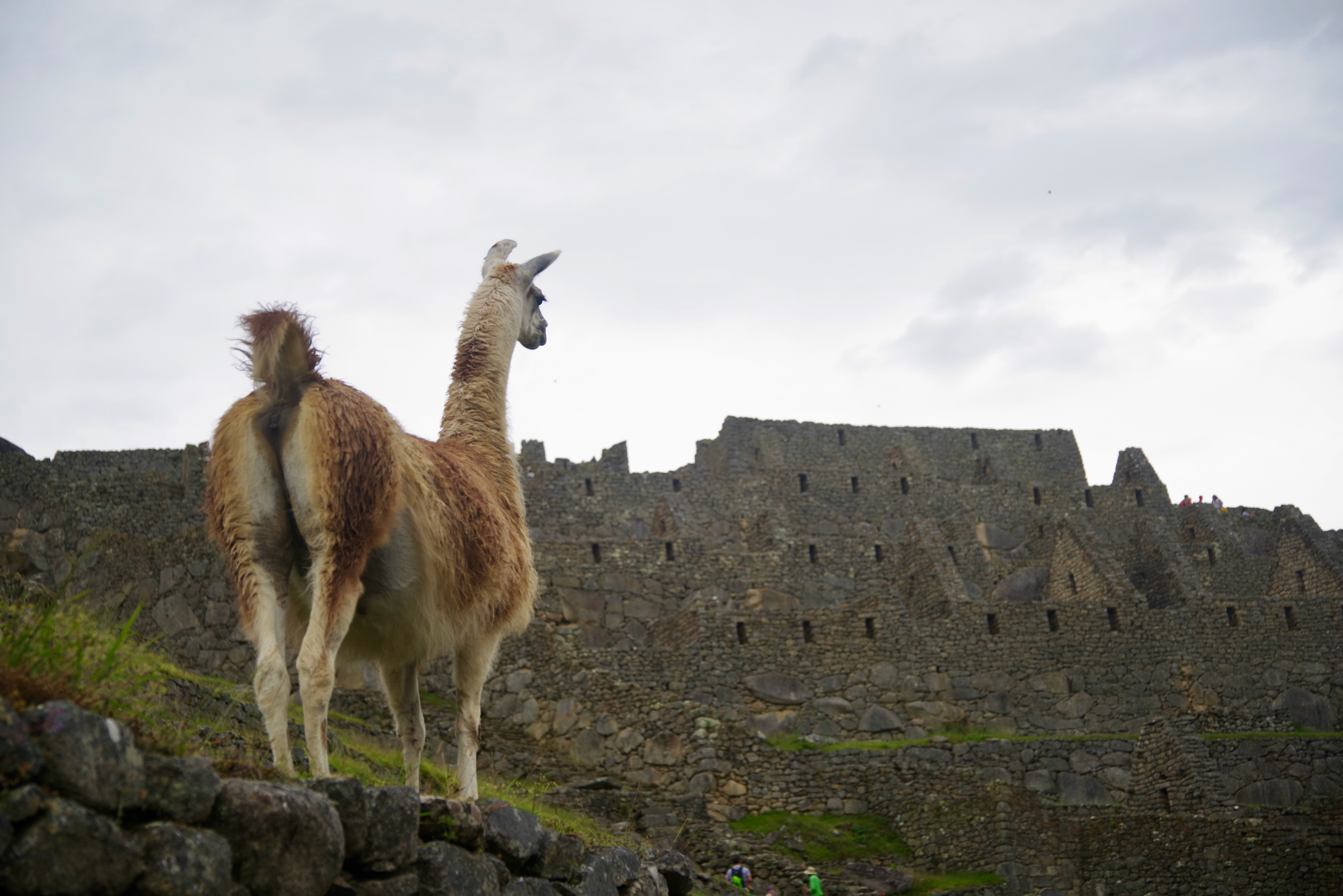
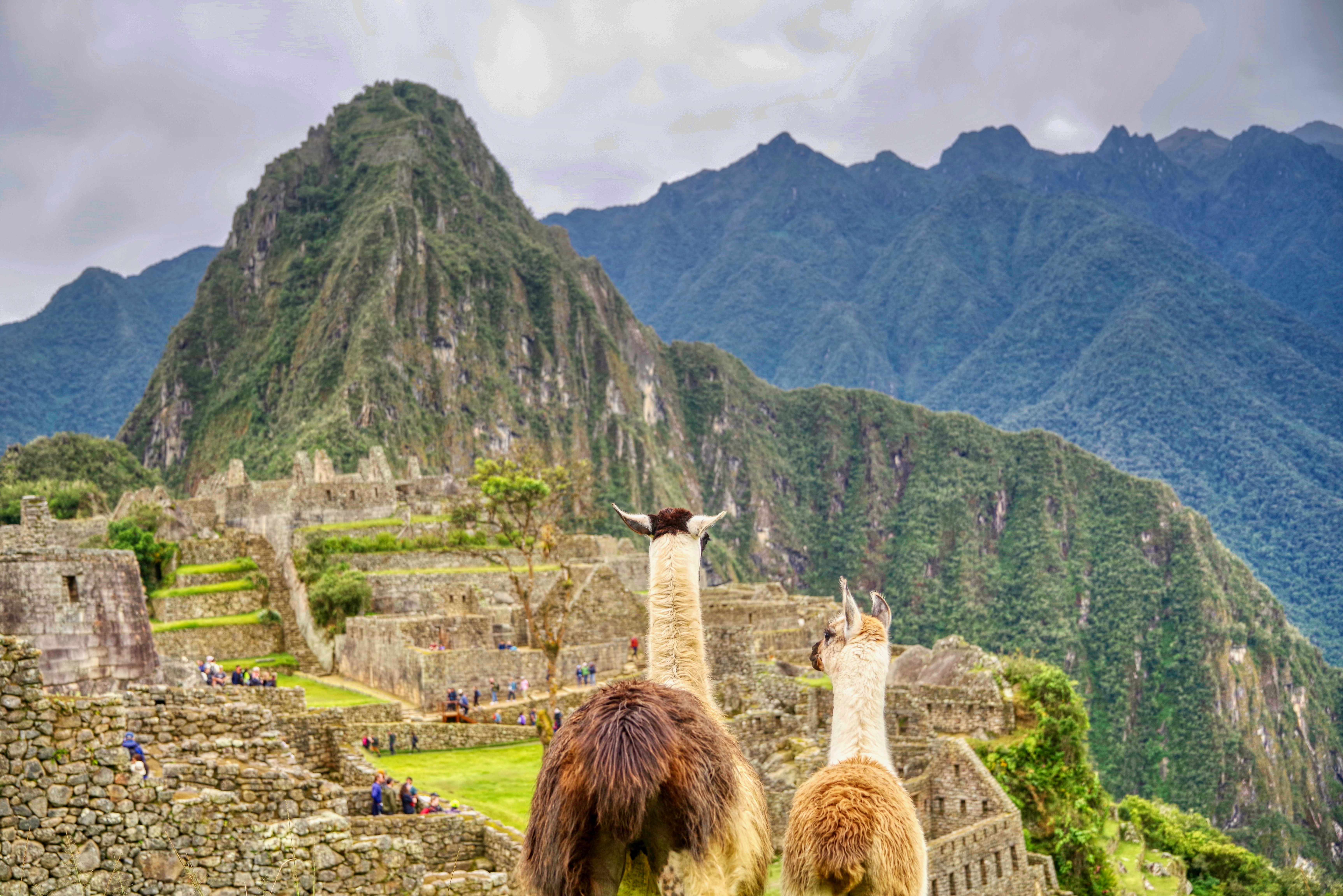
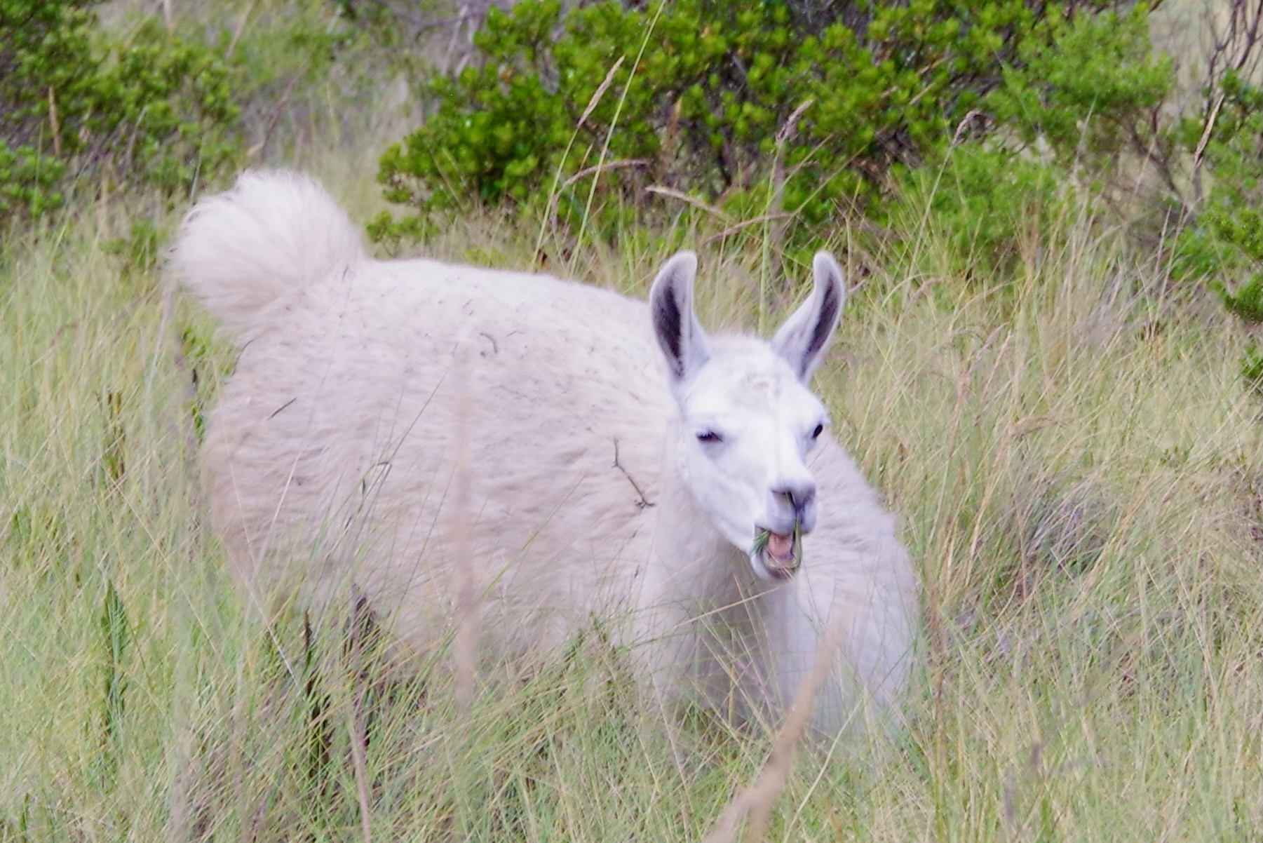
And who doesn’t appreciate a gratuitous llama photo?
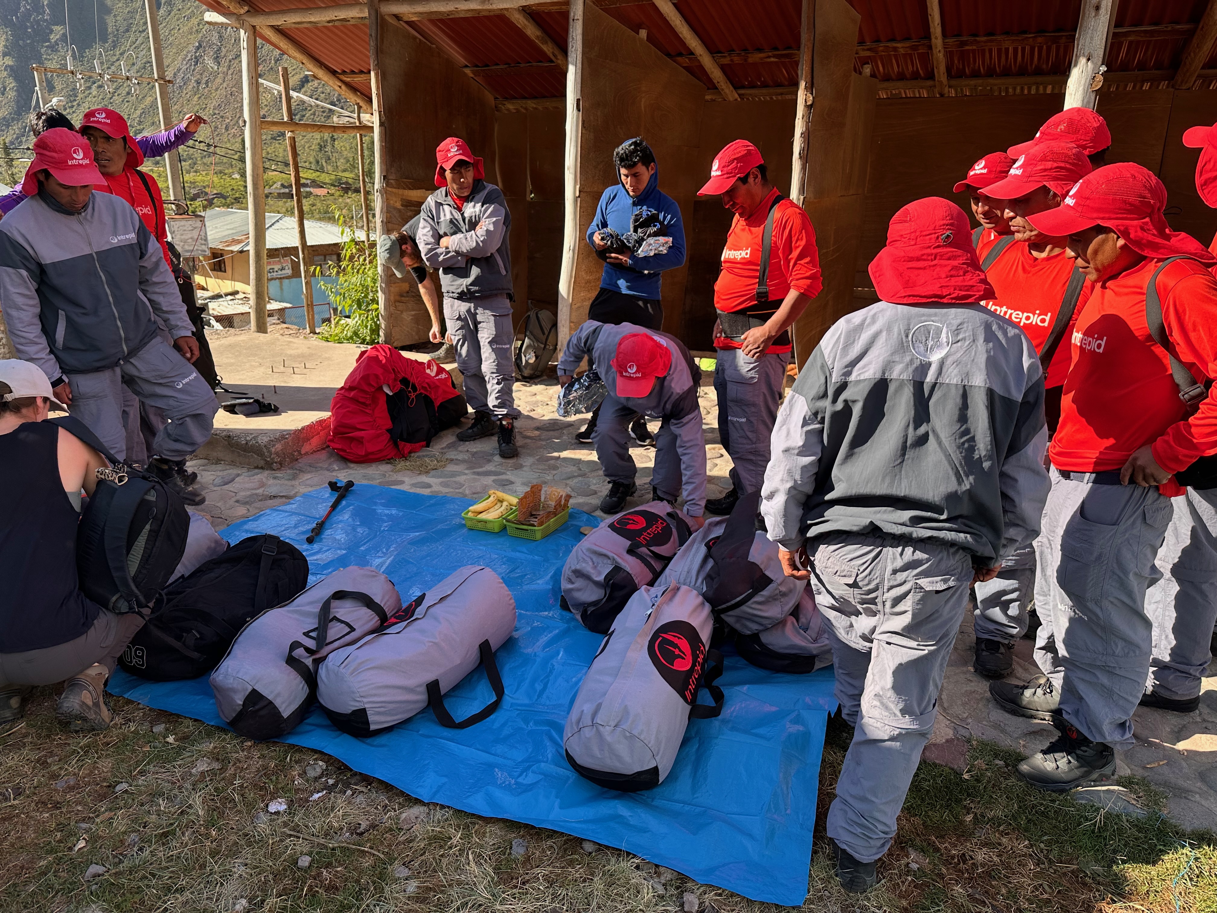
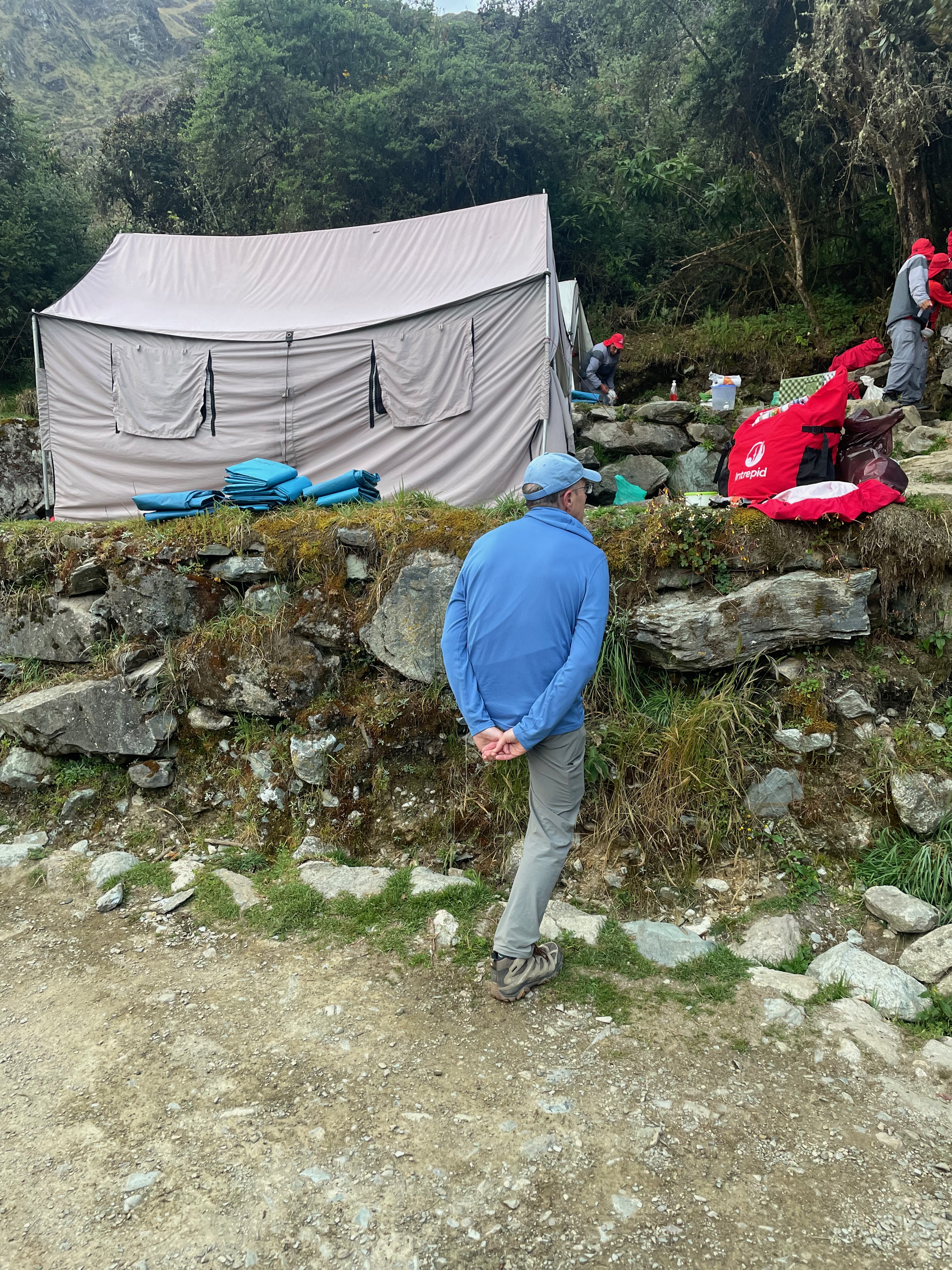
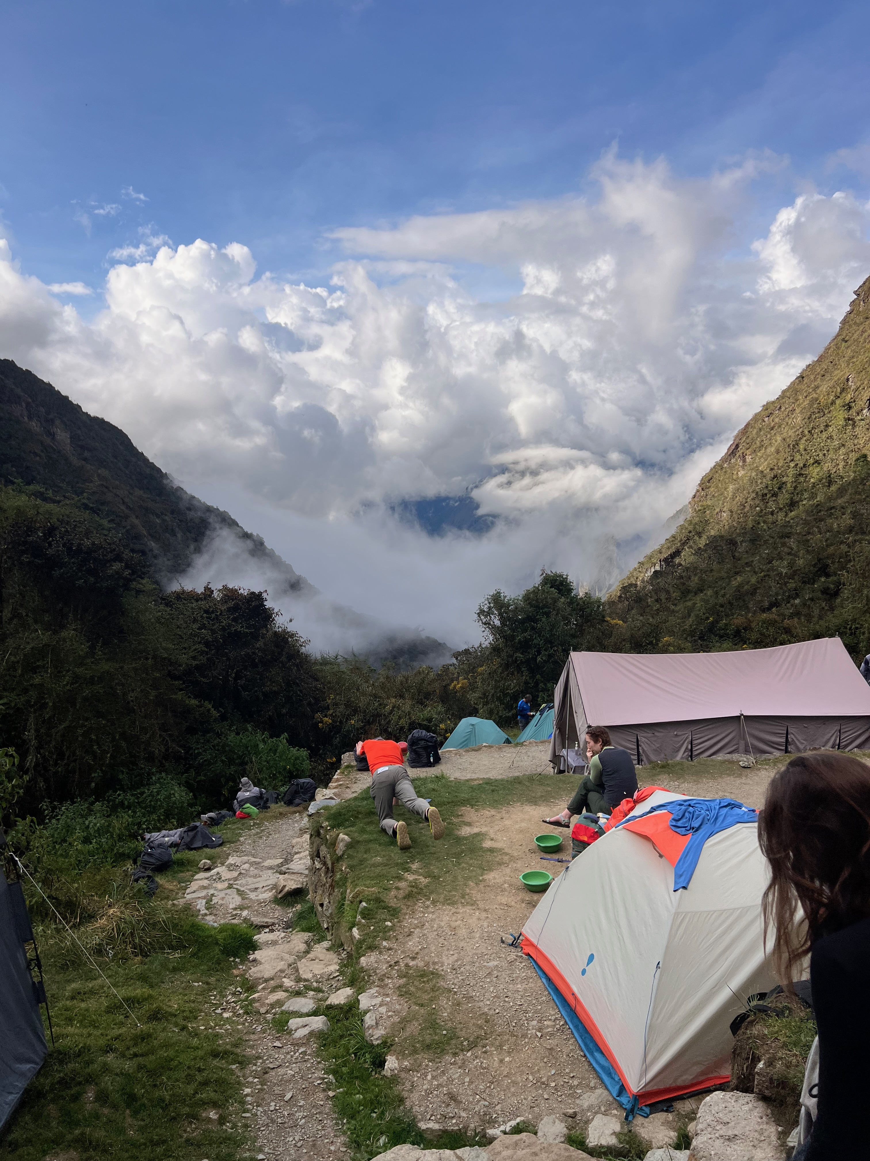
Some may have intuited that we were not doing this trek on our own. In fact you are not allowed to.
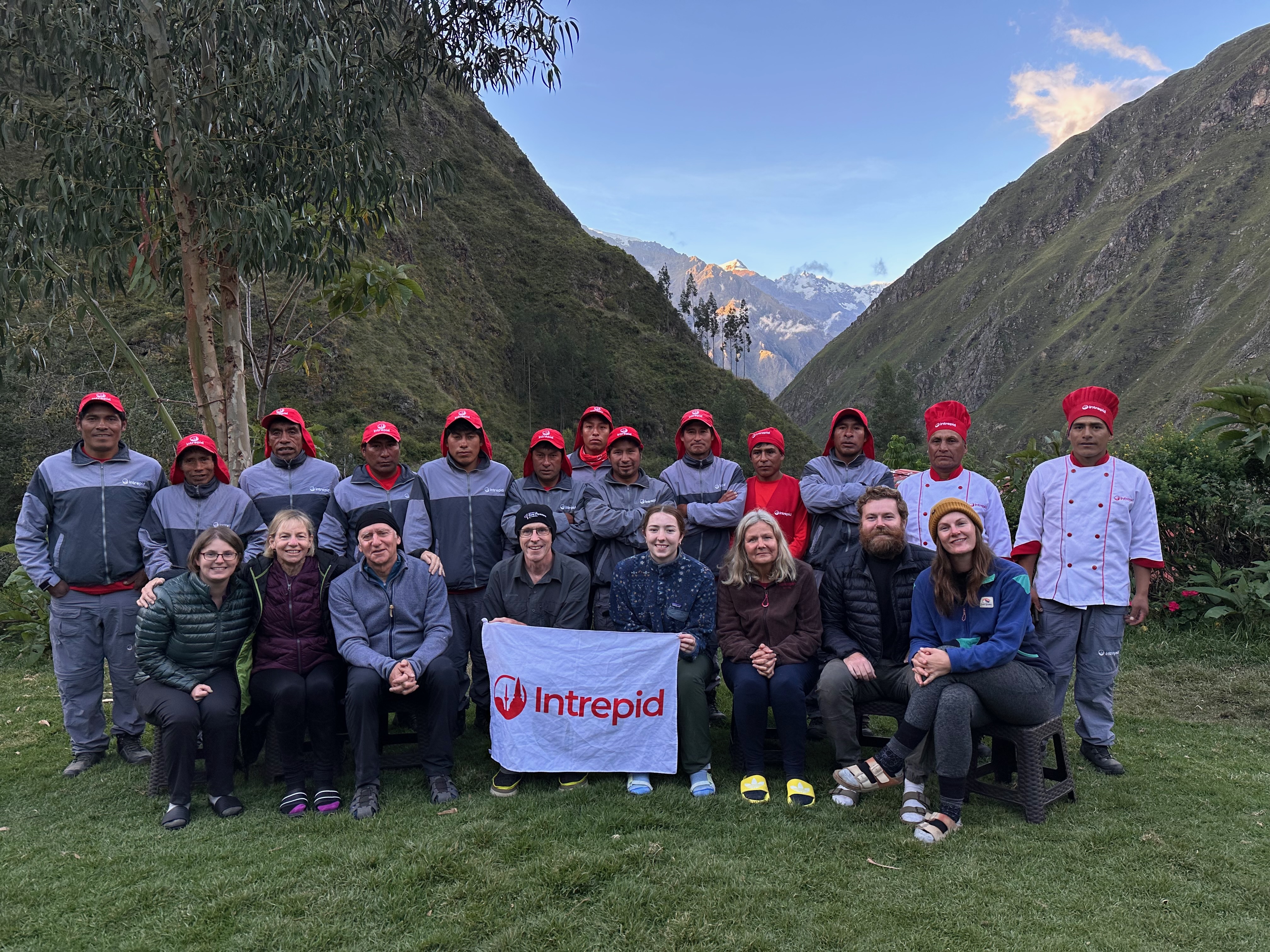
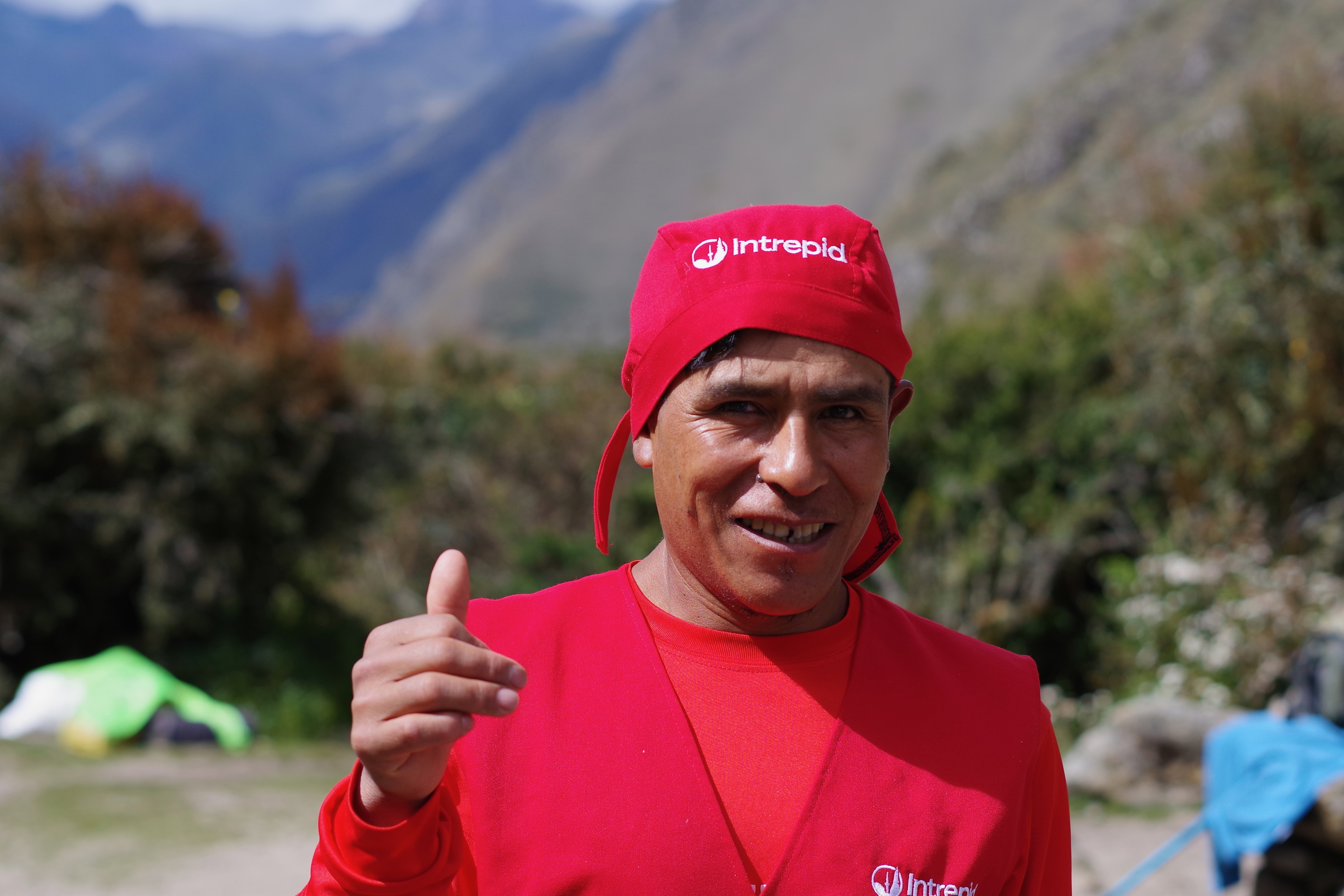
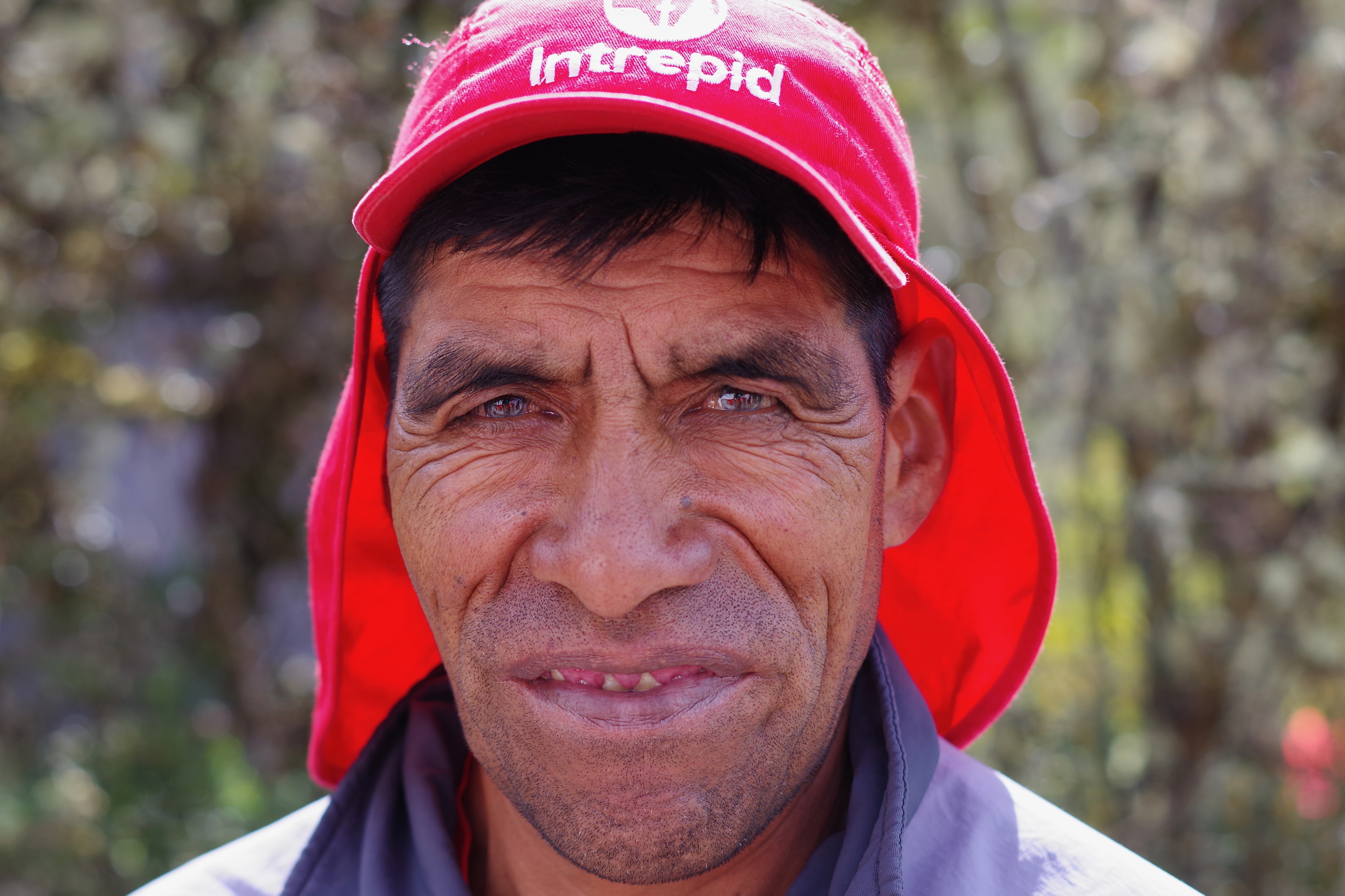
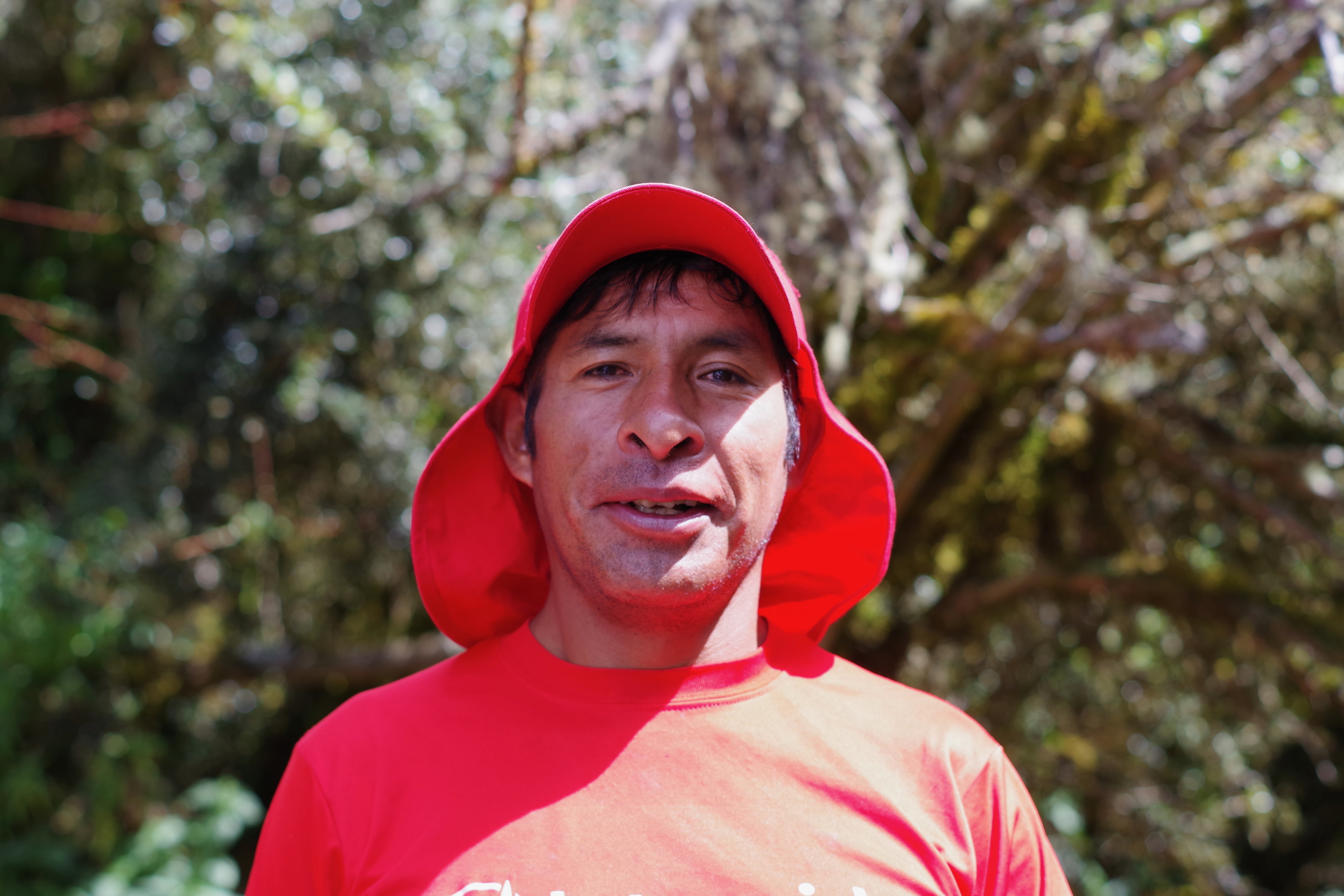
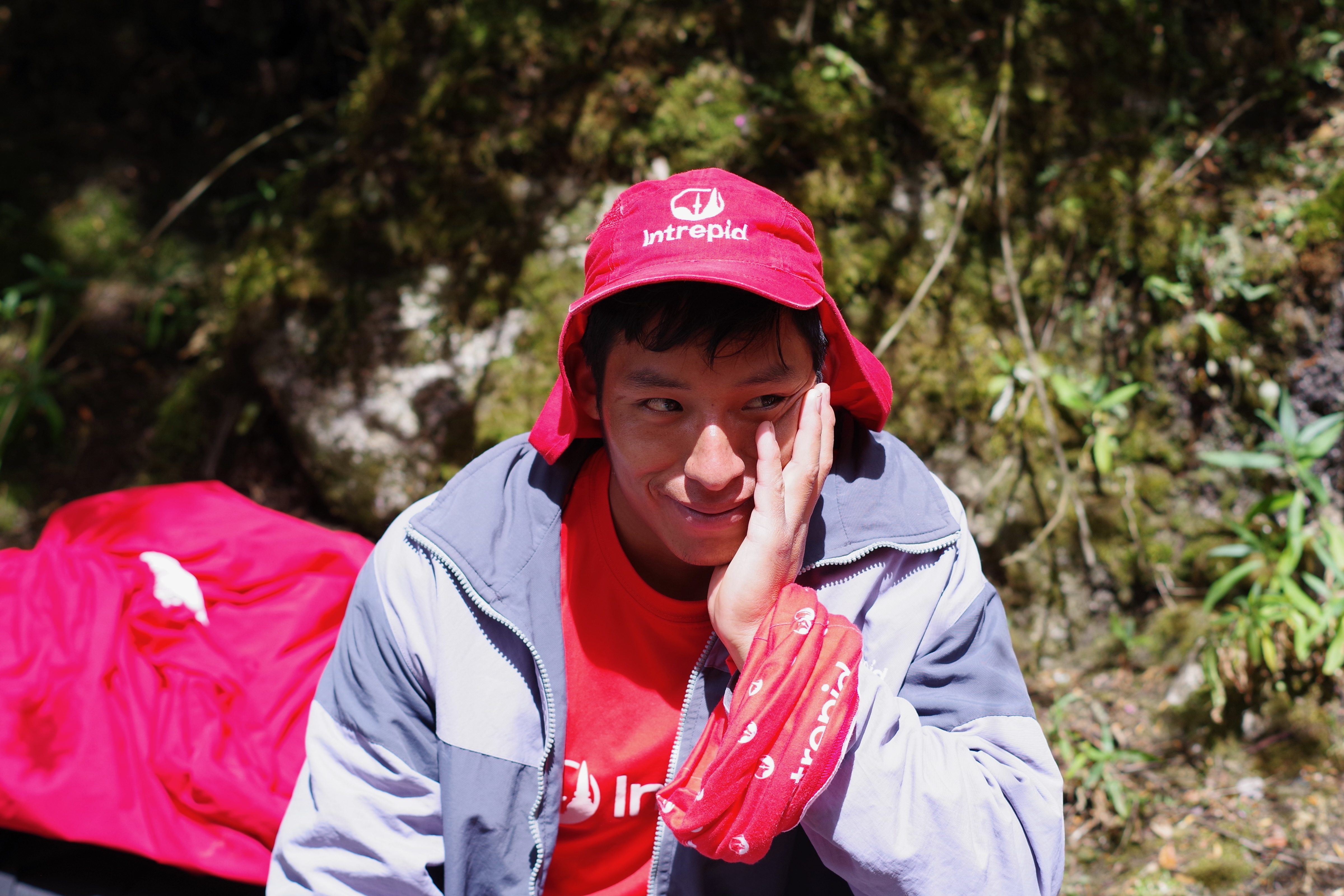
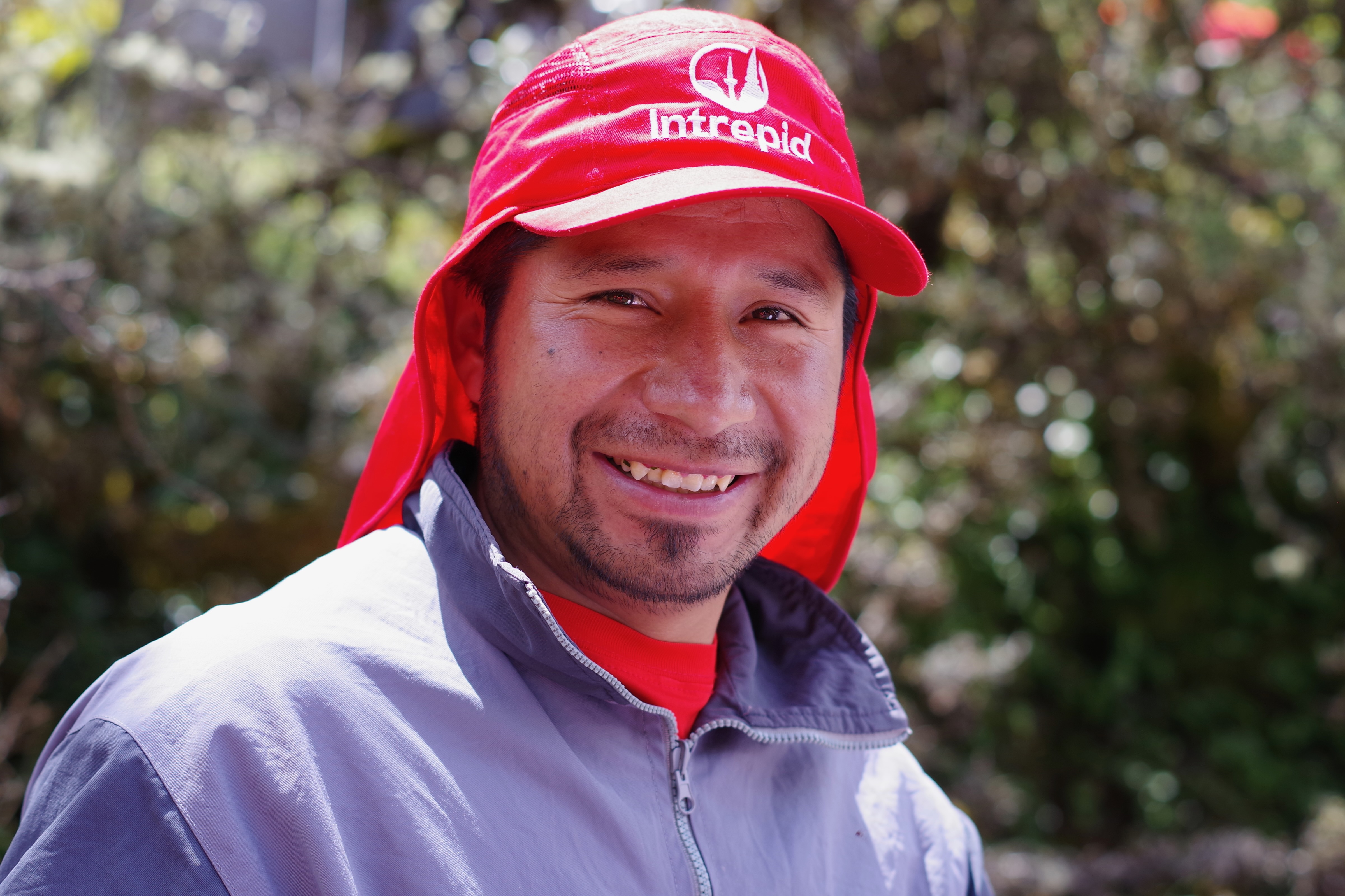
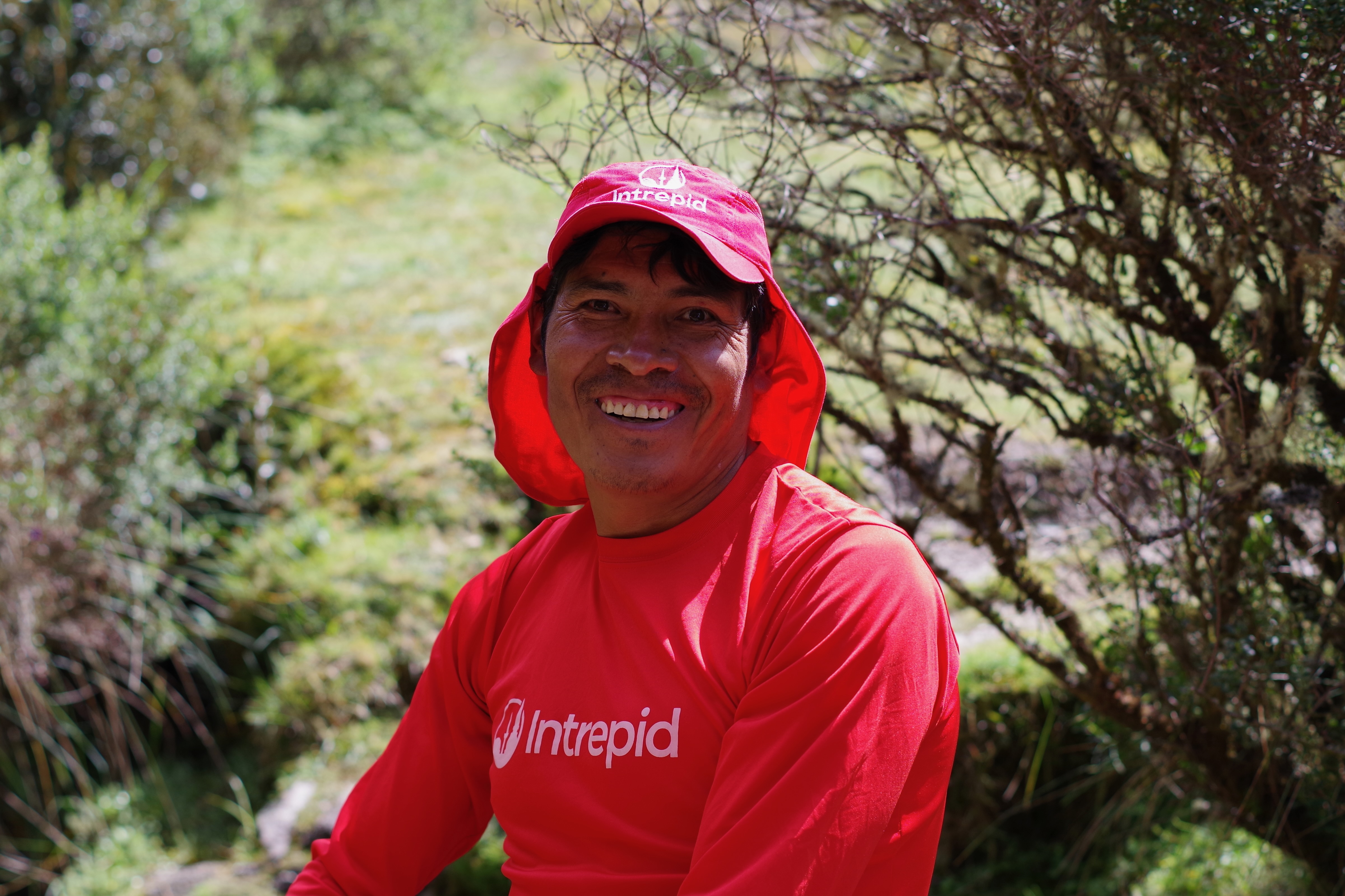
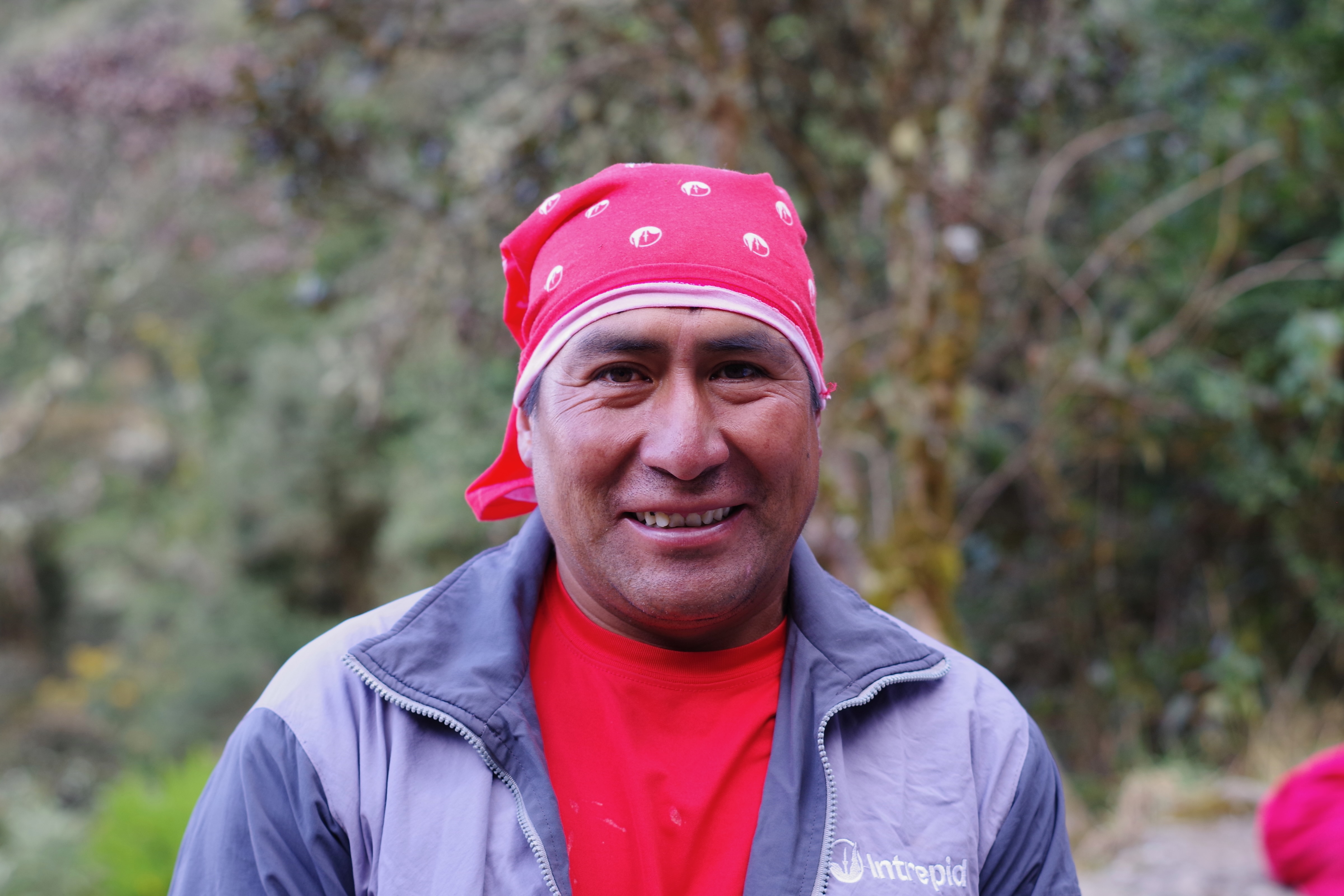
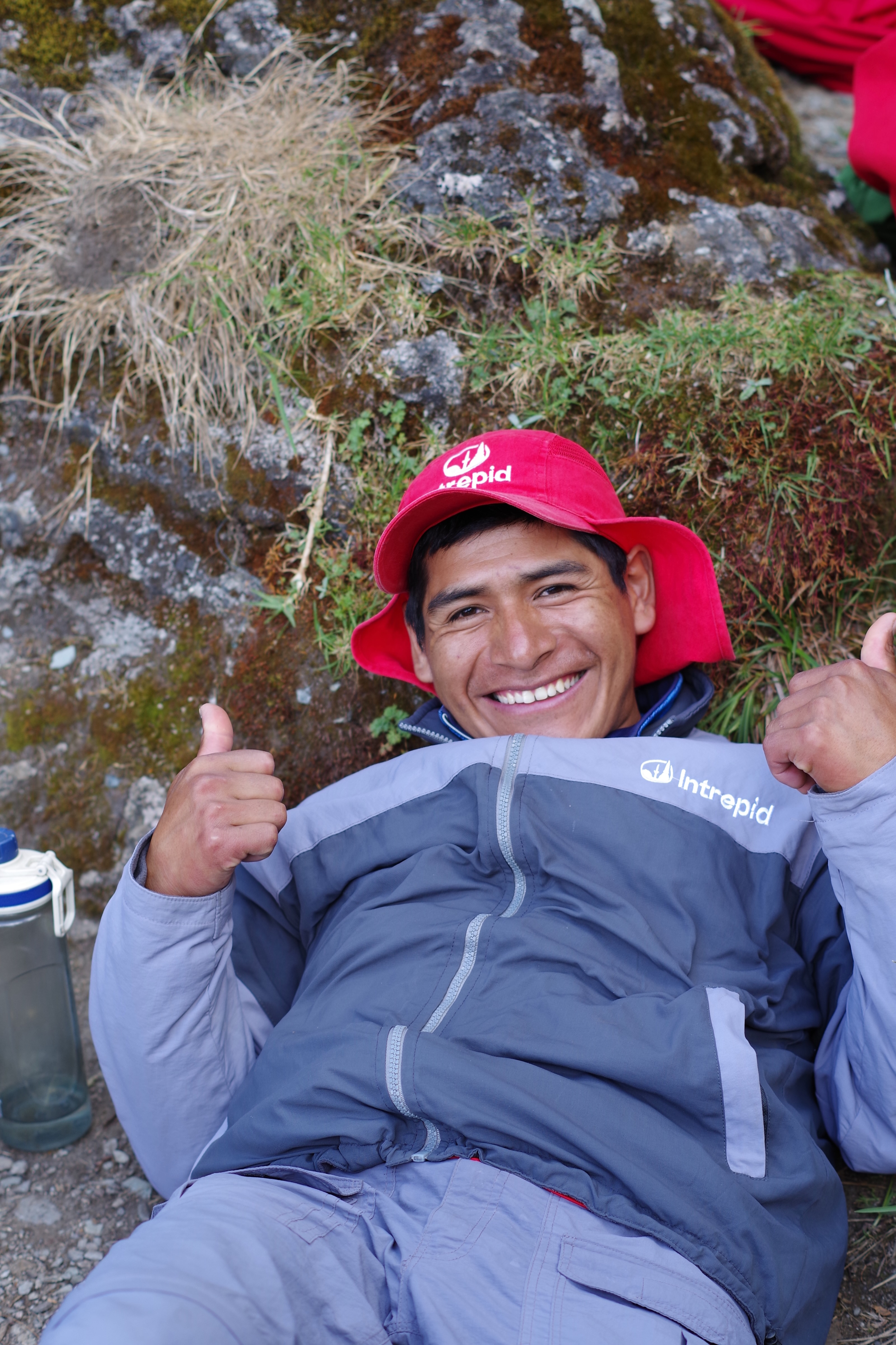
I wanted to do a separate post to honour our porters who made the whole experience as magical, and less arduous, as it was.
Their strength, skill, humour and kindness was incredible. Fortunately Thea was alert enough to write down their names when we were introduced.
Thus I can list them here
Victor Renato Sergio Mitchel Alfredo Edison Heraldo Ricardo Amilka Joel Miguel Washington Sixto
Here they are introducing themselves.
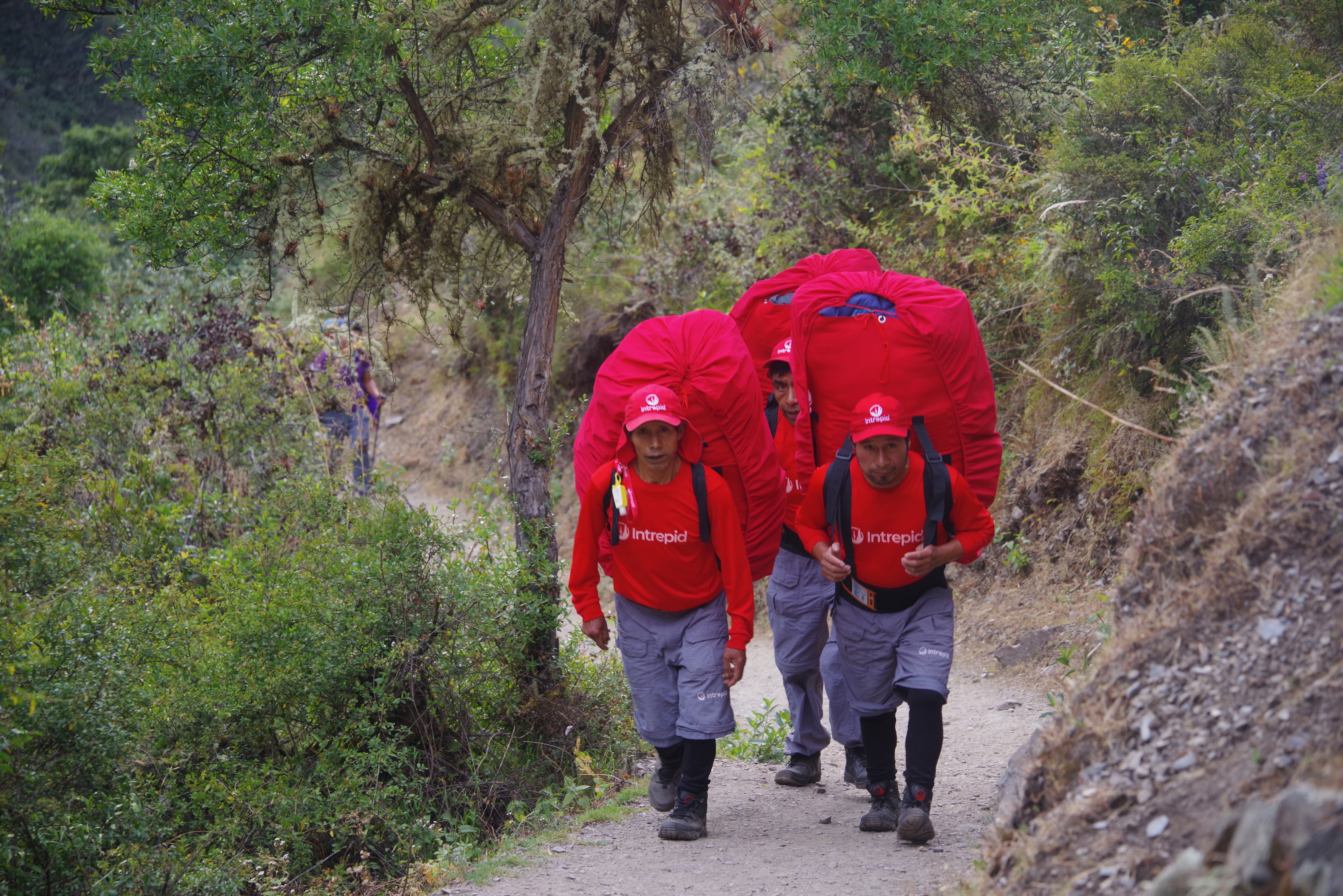
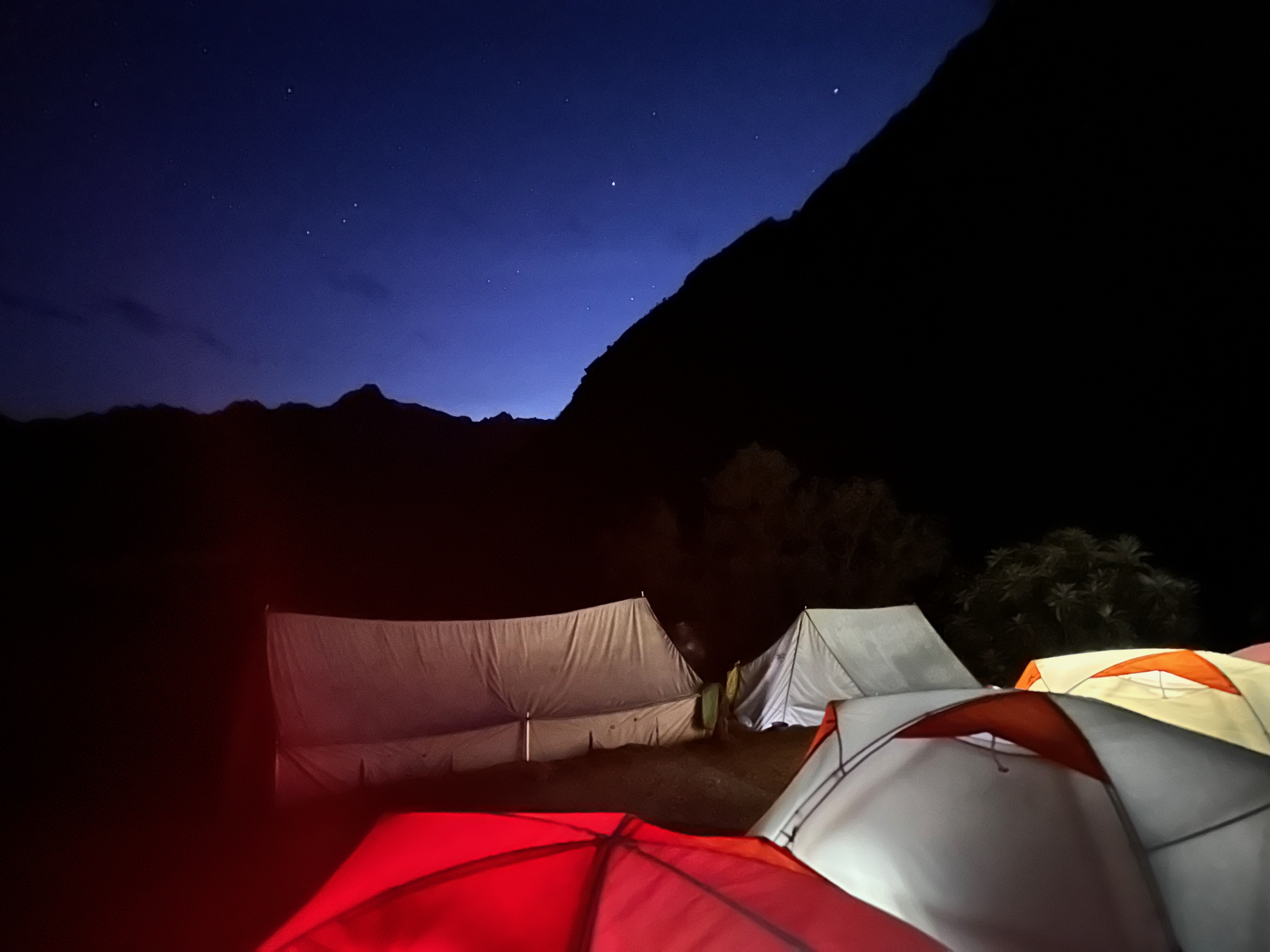
It was they who each carried 20kg for us on the trail. It was they who clapped us in greeting when we arrived at lunch or camp. It was they who had our tents set up each evening. And then packed them up each morning. It was they who served us tea and delicious lunch and dinner. It was they who endeavoured to keep us as dry as possible on that third day. It was they who woke us with camp coffee each morning.
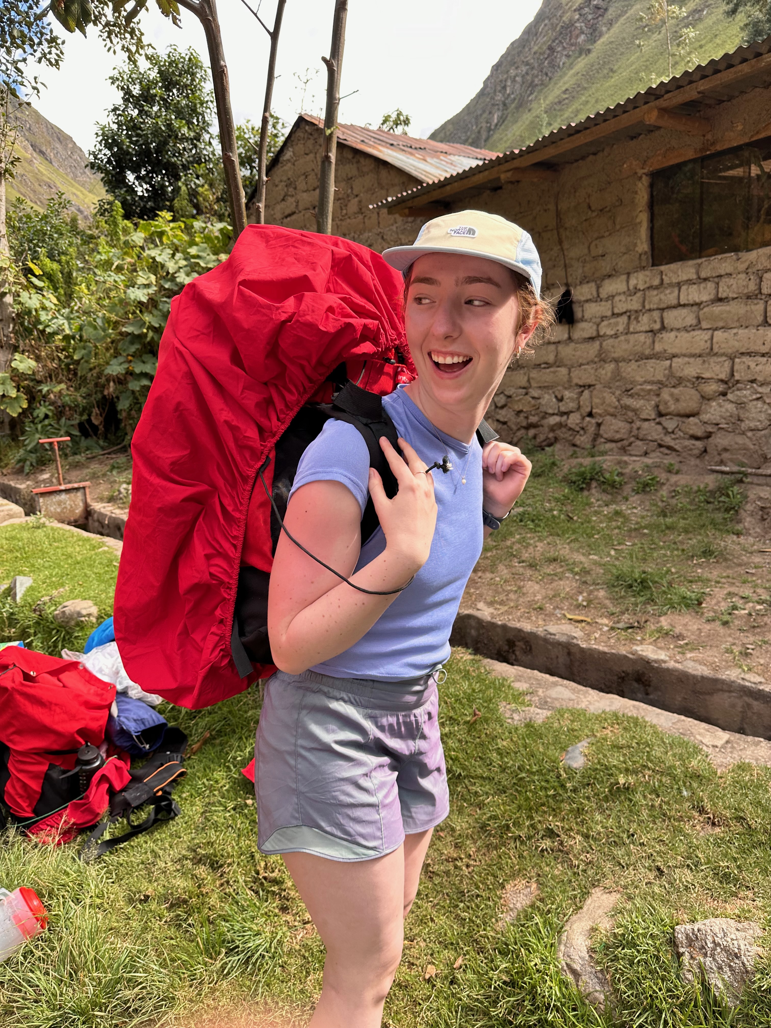
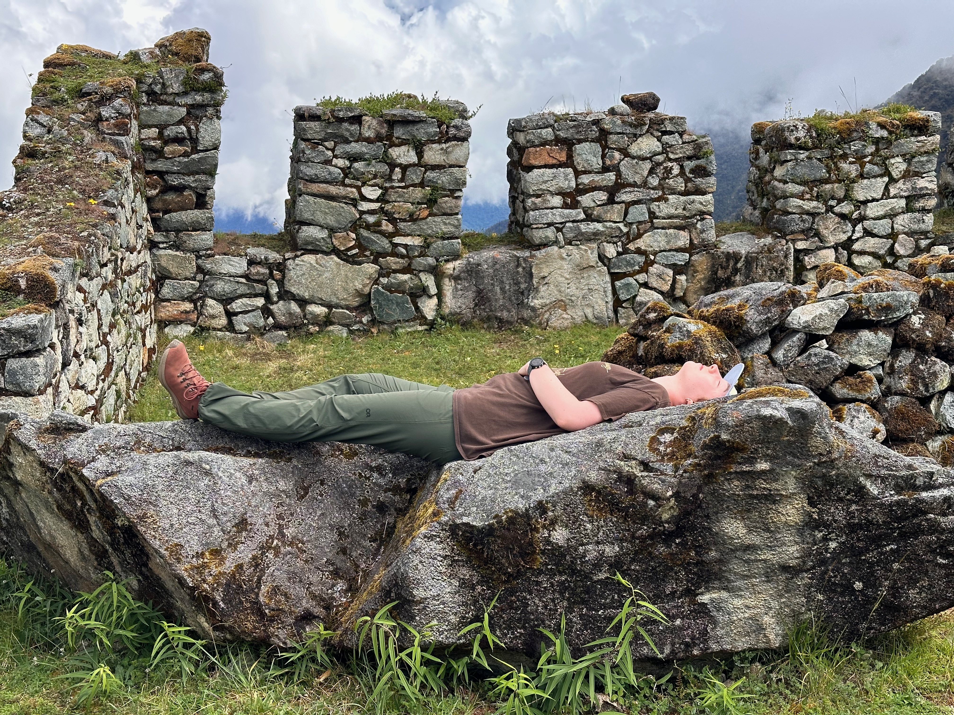
Thea discovering she could not be a porter
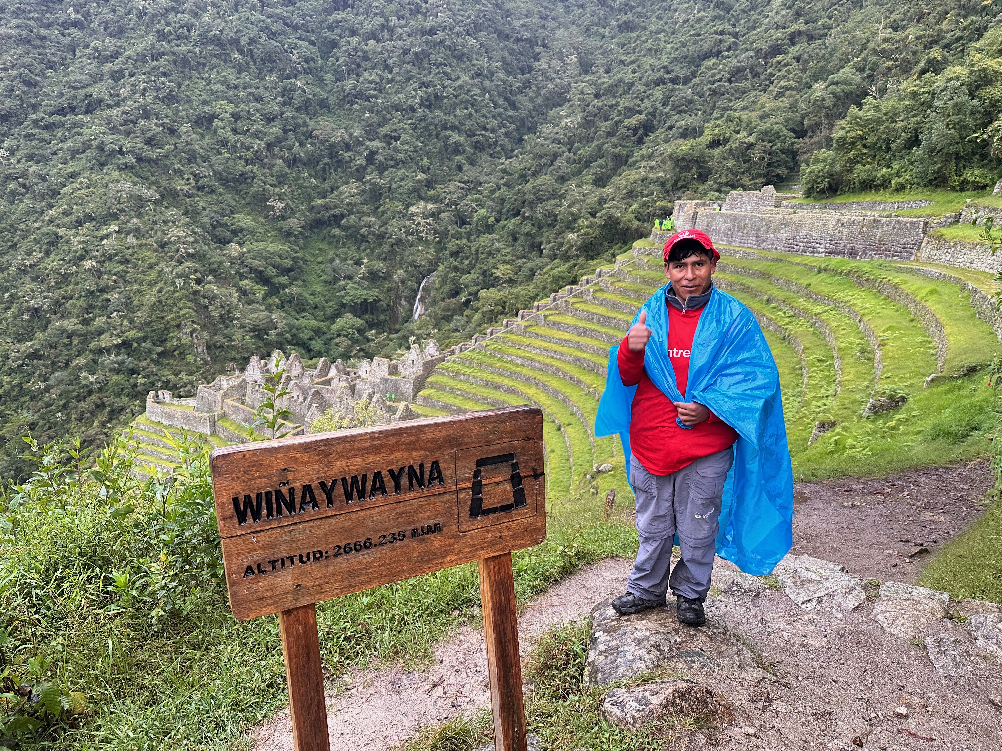
When no-one else wanted to continue on to Winaywayna, Amilka the waiter offered to lead me there.
But it was only Sixto who carried the greatly appreciated porta-potty.
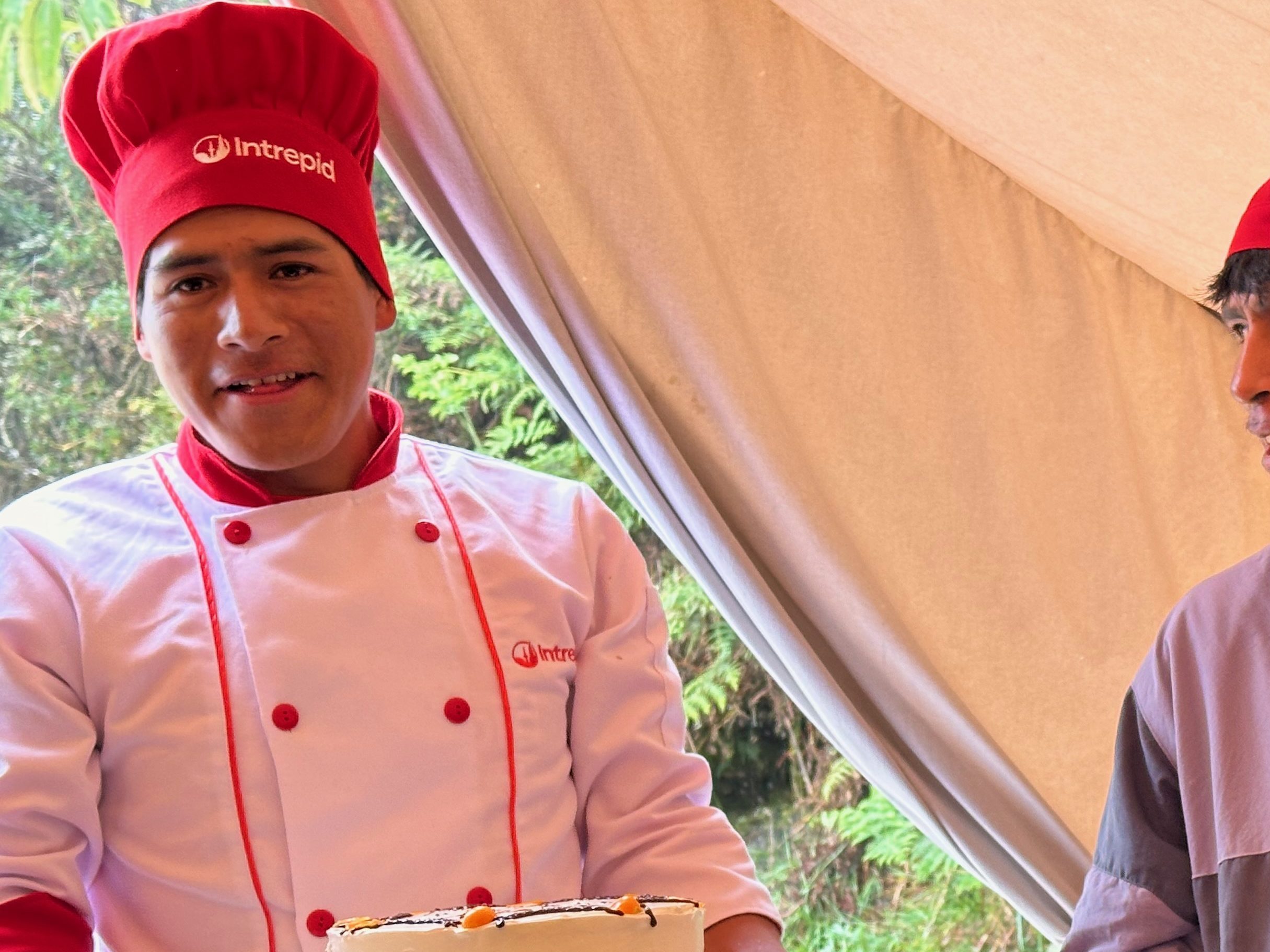
Victor the chef was a wizard. Not only did he feed us deliciously but on the third day, at lunch, in the rain, he managed to construct a cake for Adrian’s birthday.
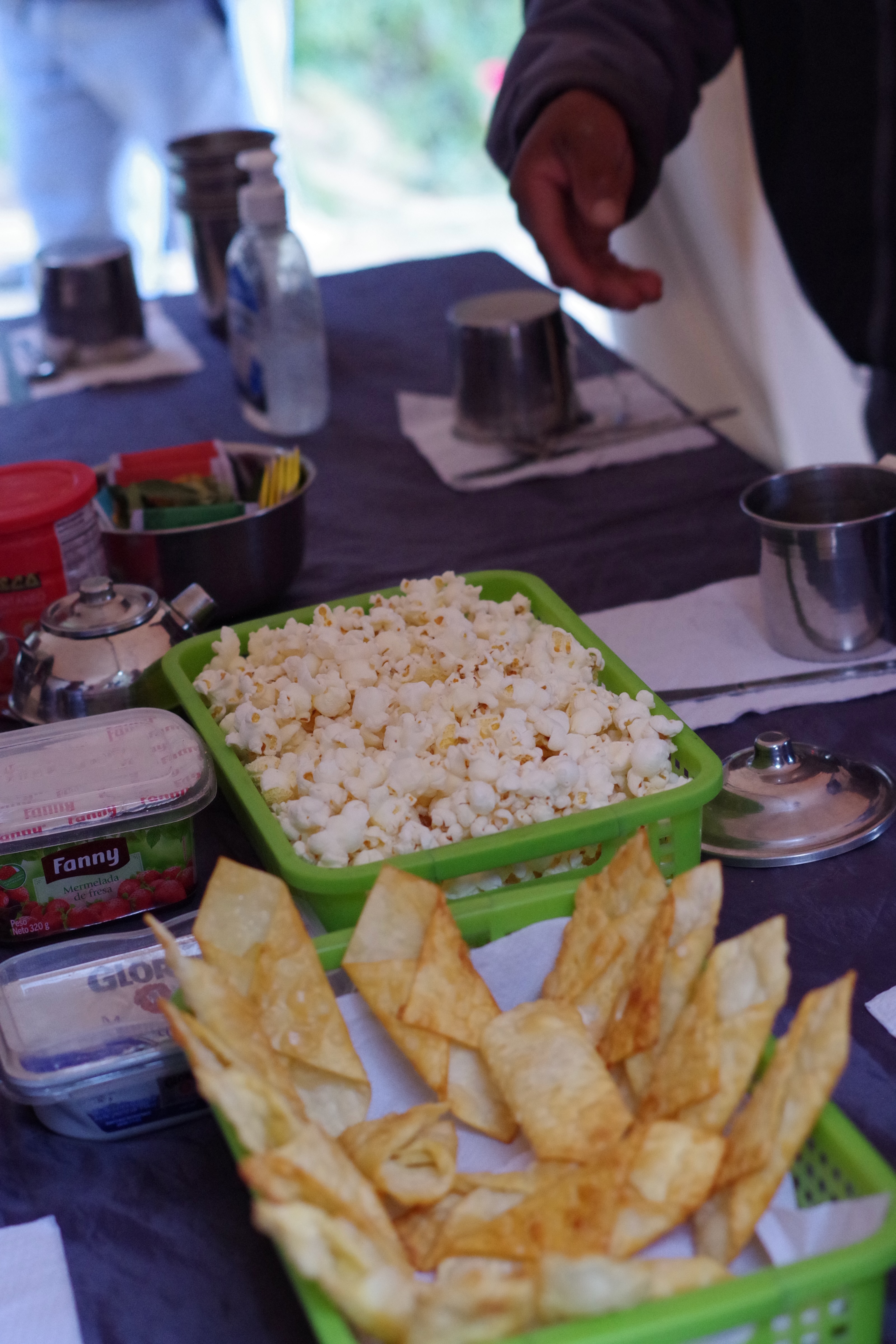
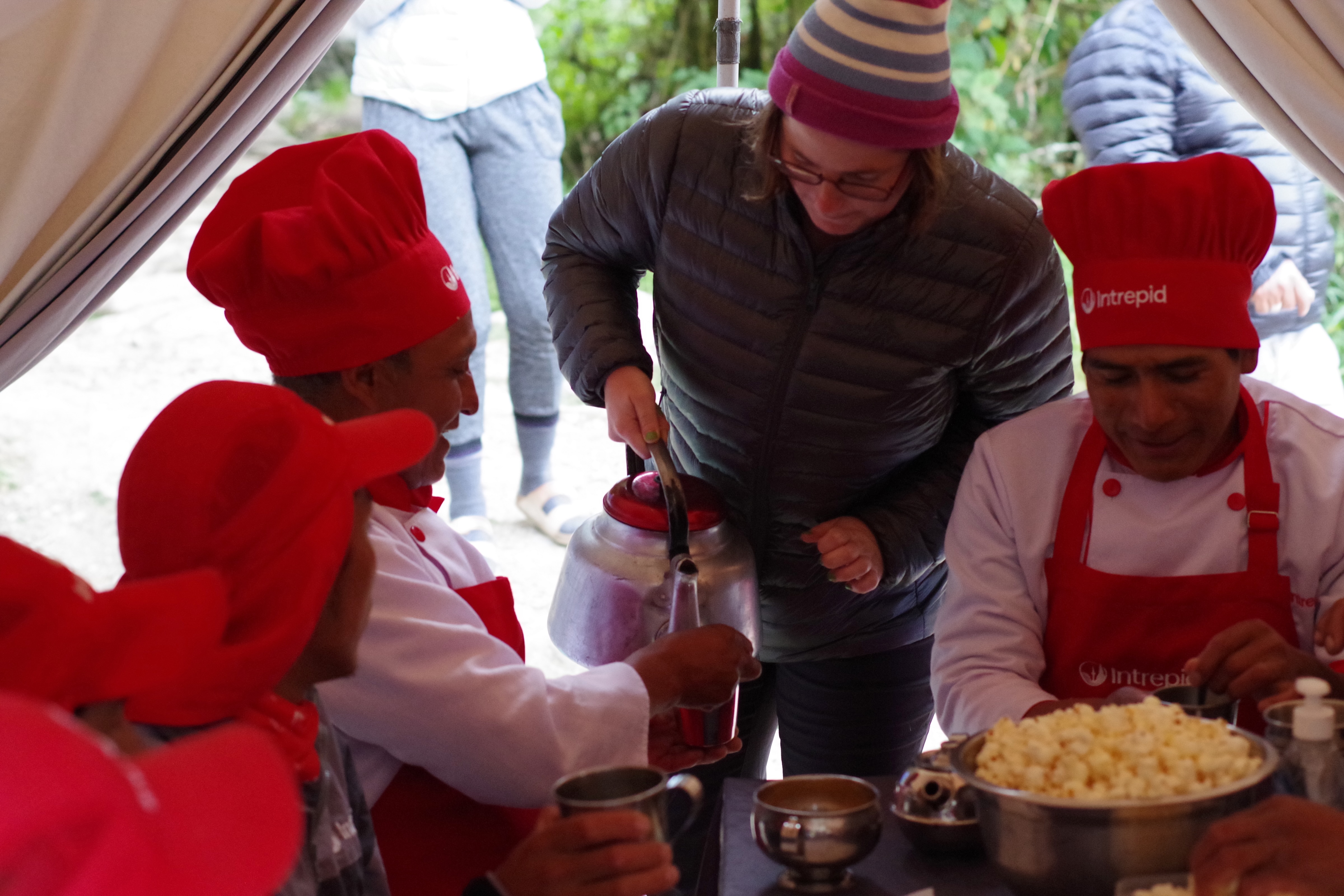
And then there was the popcorn!!
It became a “code” of the trail to yell out “Porter” to those ahead and step aside as they went scooting past, even loaded down as they were.
And if they flew past us going up hill then their speed down the hills was unbelievable. Even in the wet!
On the second evening, Nadia in our group came up with the inspired idea that we should serve them tea (and the popcorn!) instead of them serving us.
Much joy and hilarity ensued.
We were told that many of them used the photos of this event as their phone screensavers.
Thea did ask our guide, Wilson, if there was a race run on the Inca Trail (as it is just over marathon length). The answer was “Yes” and the record is 3 hours and 23 minutes.
Once again it was up before dawn, once again aided by strong black coffee at our tent.
Screenshot
Today it was over two more mountain passes, such that we would be looking down on Mt Machu Picchu before descending to below it for our final camp.
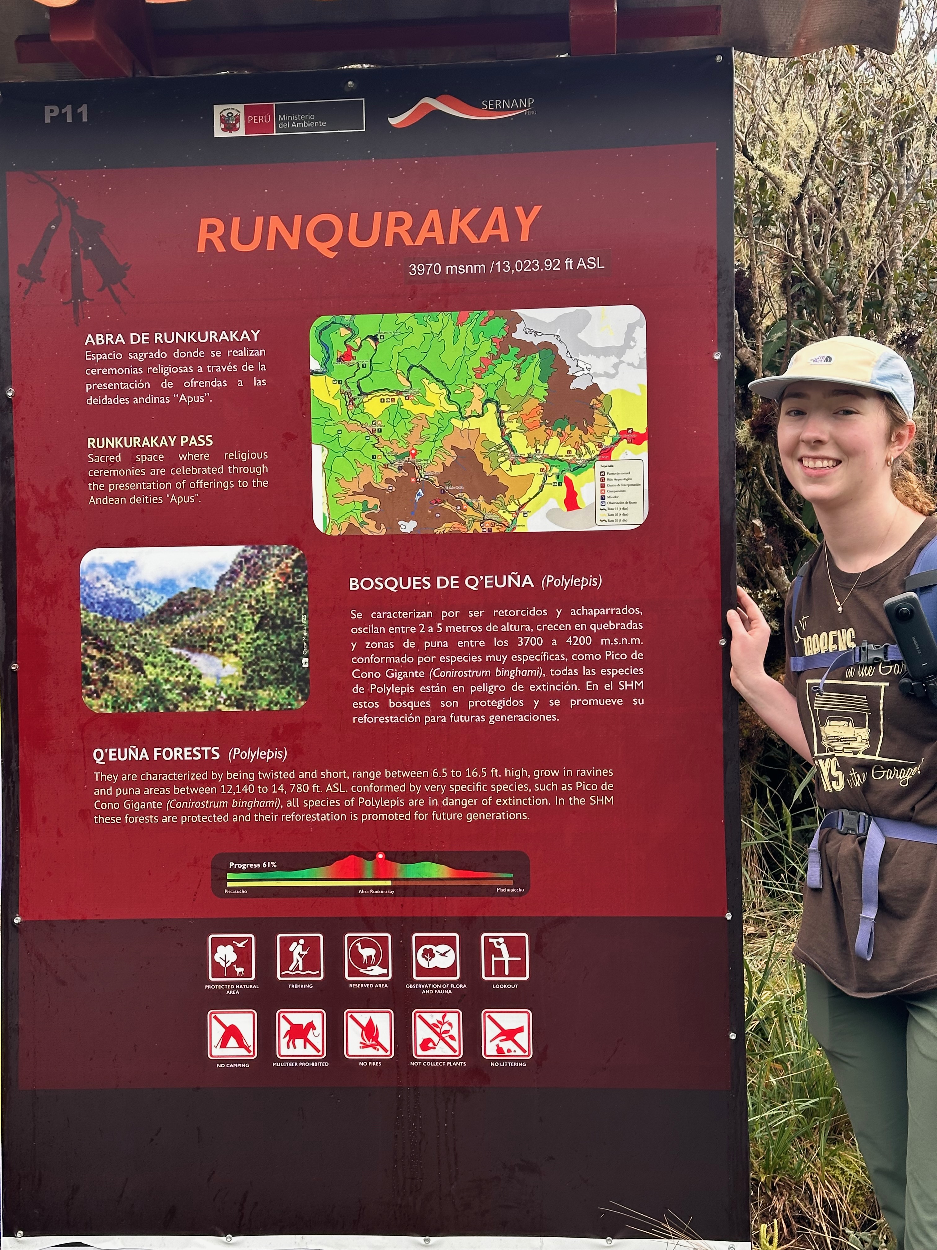
First stop was at Runqurakay. This was an exchange point for the Inca messengers that would run (barefoot of course!) along the trail carrying the messages encoded in the Khipu knot system. A system that is yet to be deciphered. It is said even the messengers were not of high enough station to be able to read them.
Sentries at Runqurakay had a strategic view of both passes and so could rouse the next messenger to be ready to receive the Khipu as it was passed through the communication hole.
Our first summit was Runqurakay pass at 3970m. But we added a little more to climb up to the left to get the stunning views.
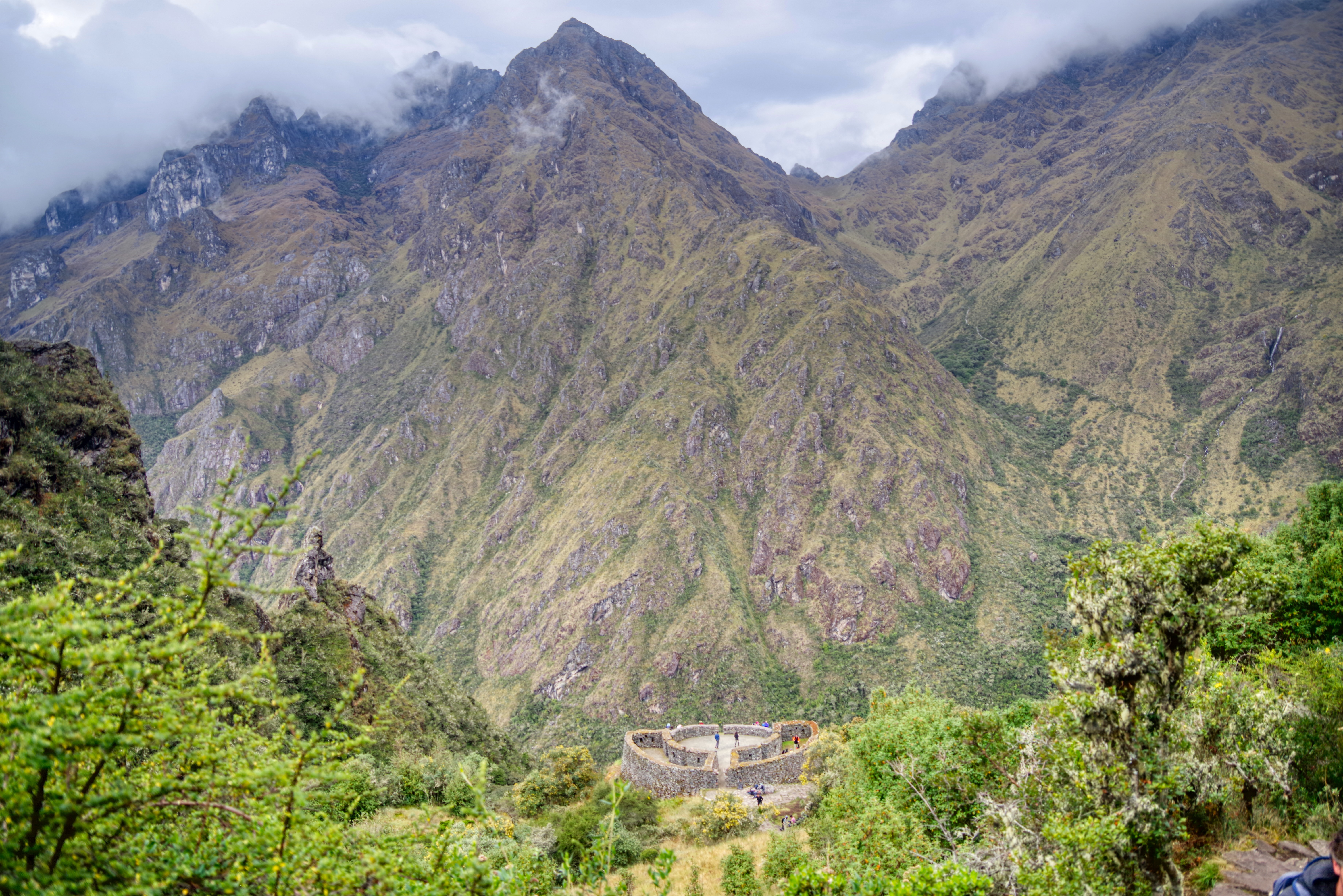
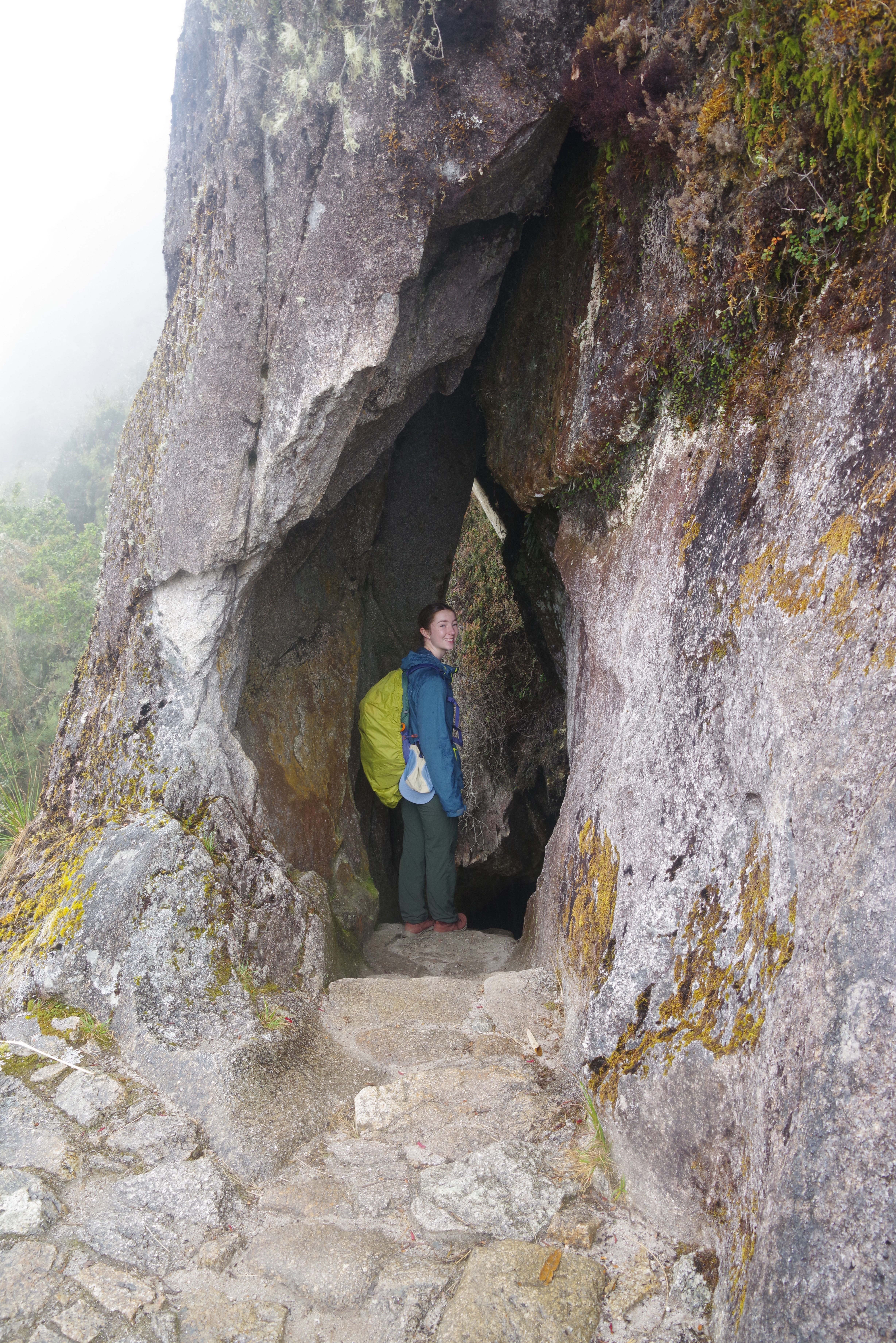
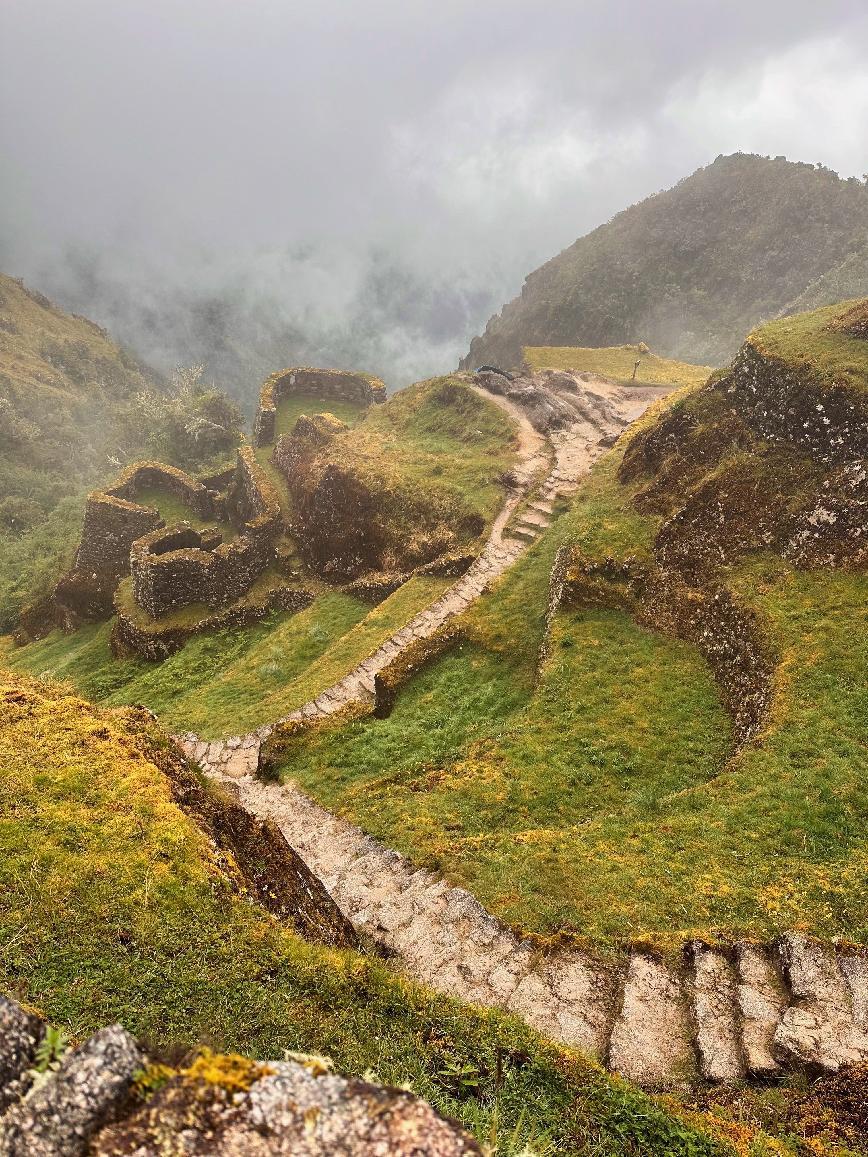
We then descended to Sayaqmarca, another important urban and religious site on the trail. It translates as “Inaccessible Town”. Reasonably apt as one has to go over two passes in either direction. And then the steps. It may have also been unironically dubbed as such by the aforementioned engineers.
“You want to put an outpost where?”
“Is now a good time to remind you about the river?”
It’s significance is emphasized by its alignment with the Machu Picchu site. Alignment achieved without line of sight and done entirely based on astronomy.
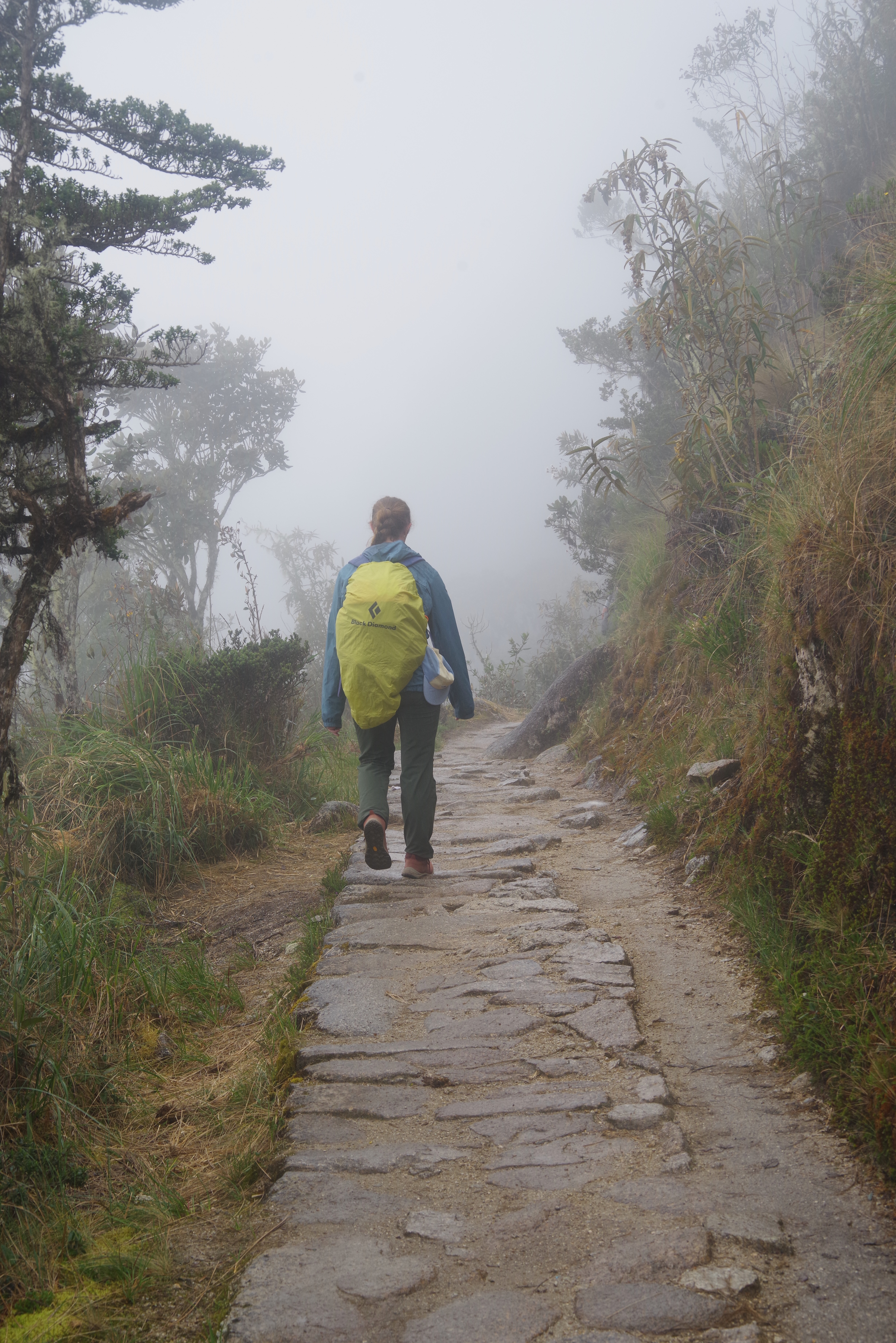
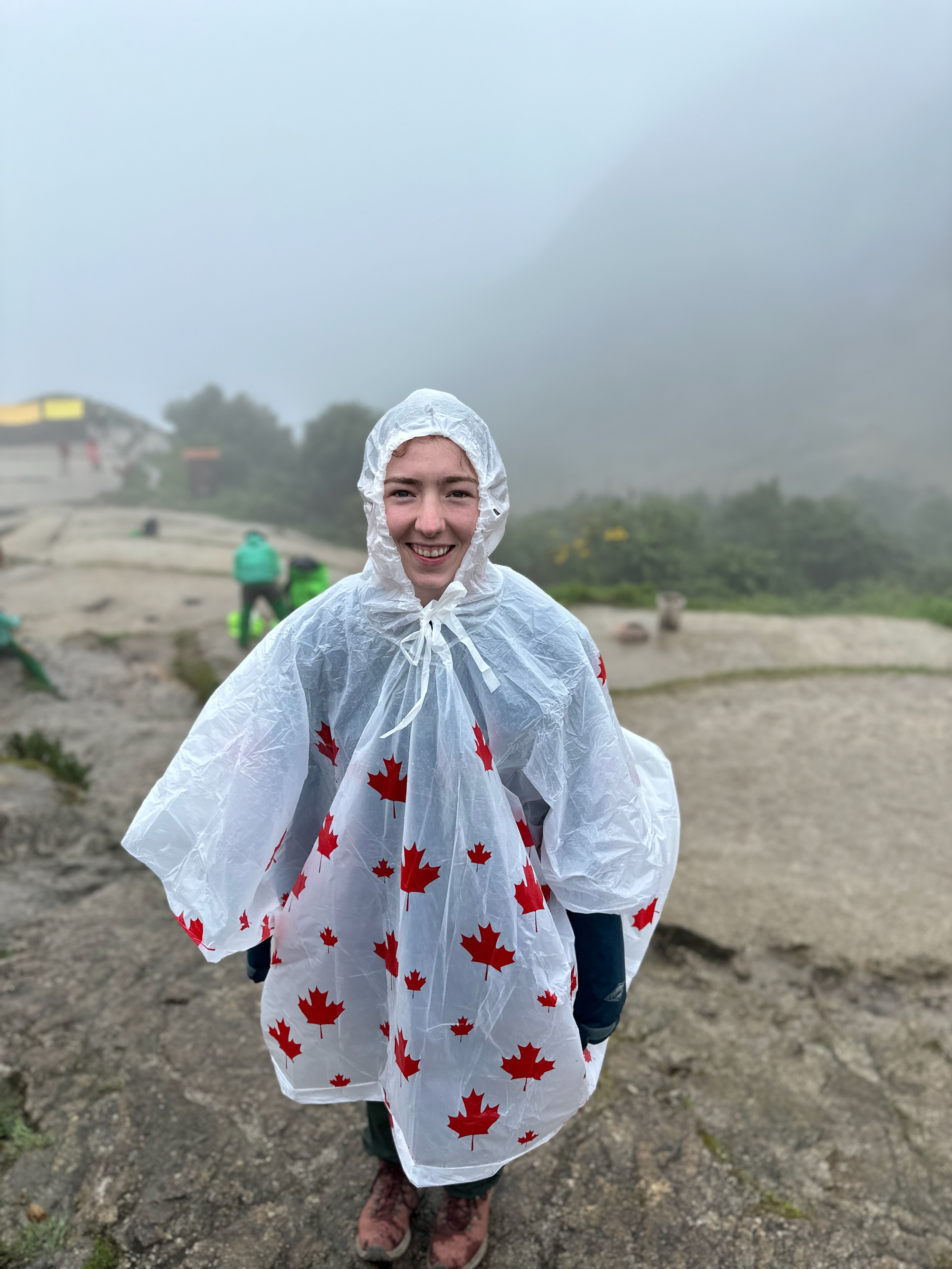
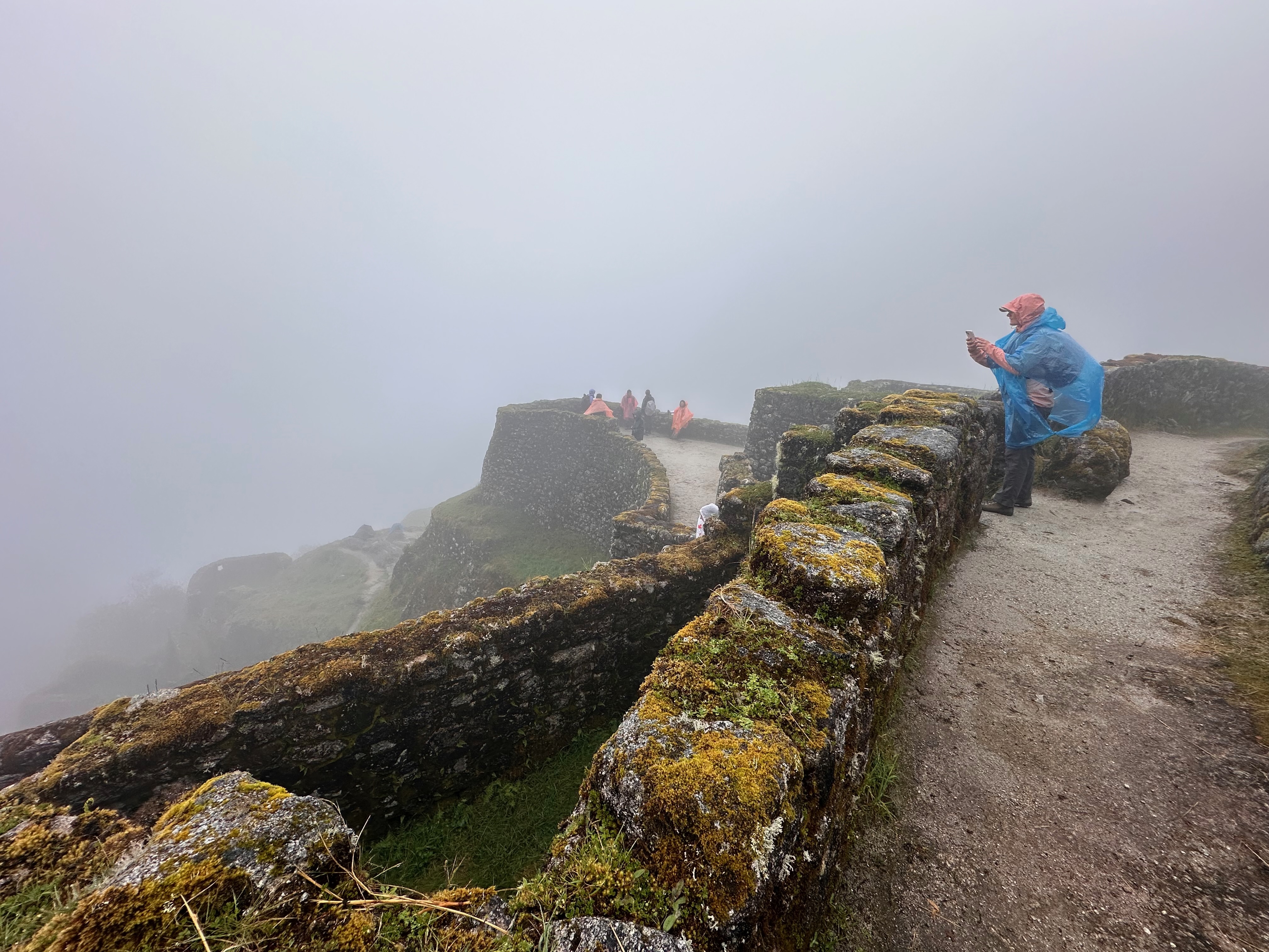
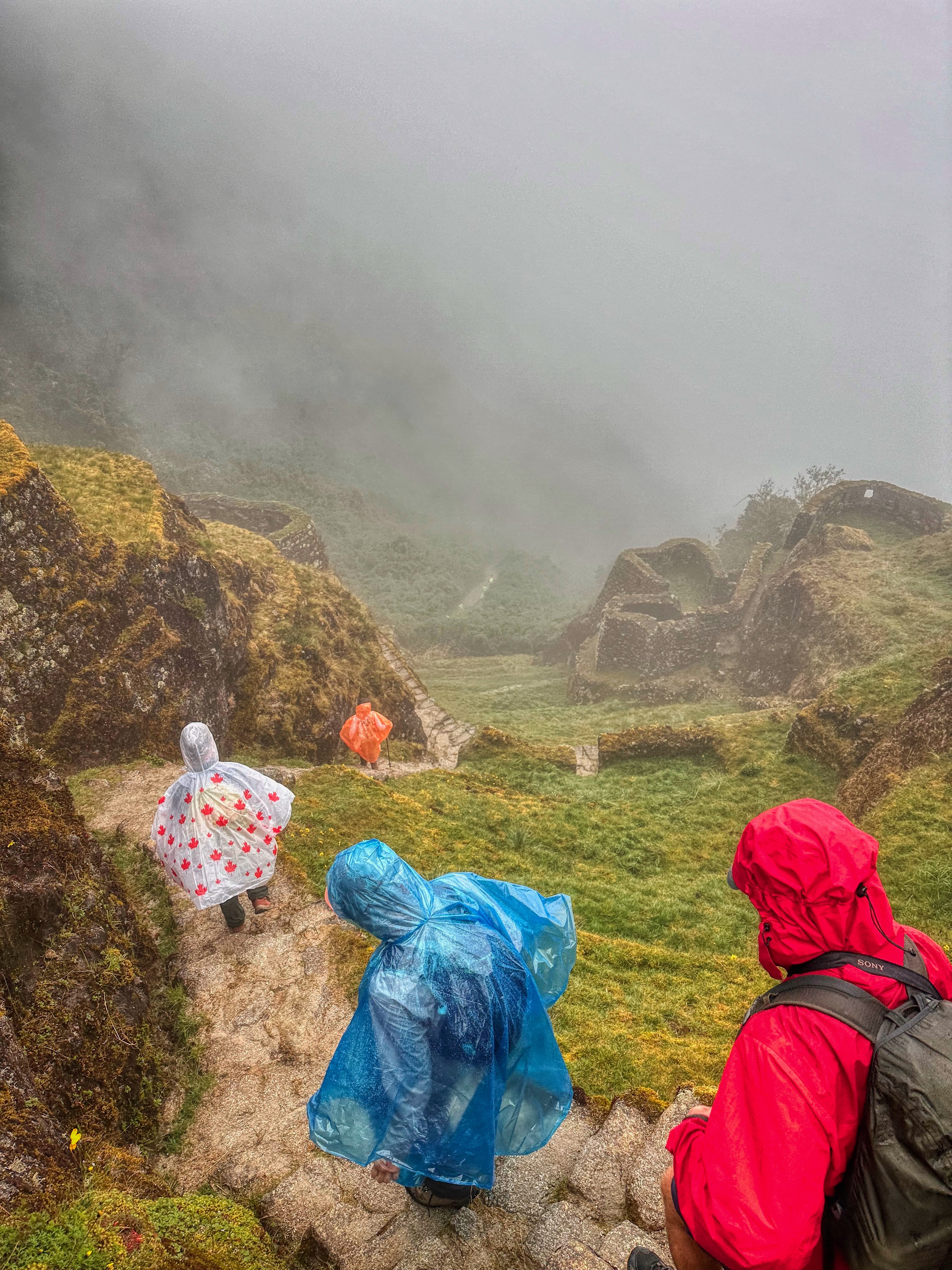
After a brief further descent we started our next climb to Phuyupatamarka. As we ascended we became shrouded in mist then drizzle then rain then serious rain meaning we put on the raincoats, then the pack covers then the ponchos over the raincoats and pack covers.
Needless to say, by the time we reached the relative less wetness of the lunch tent we were very damp.
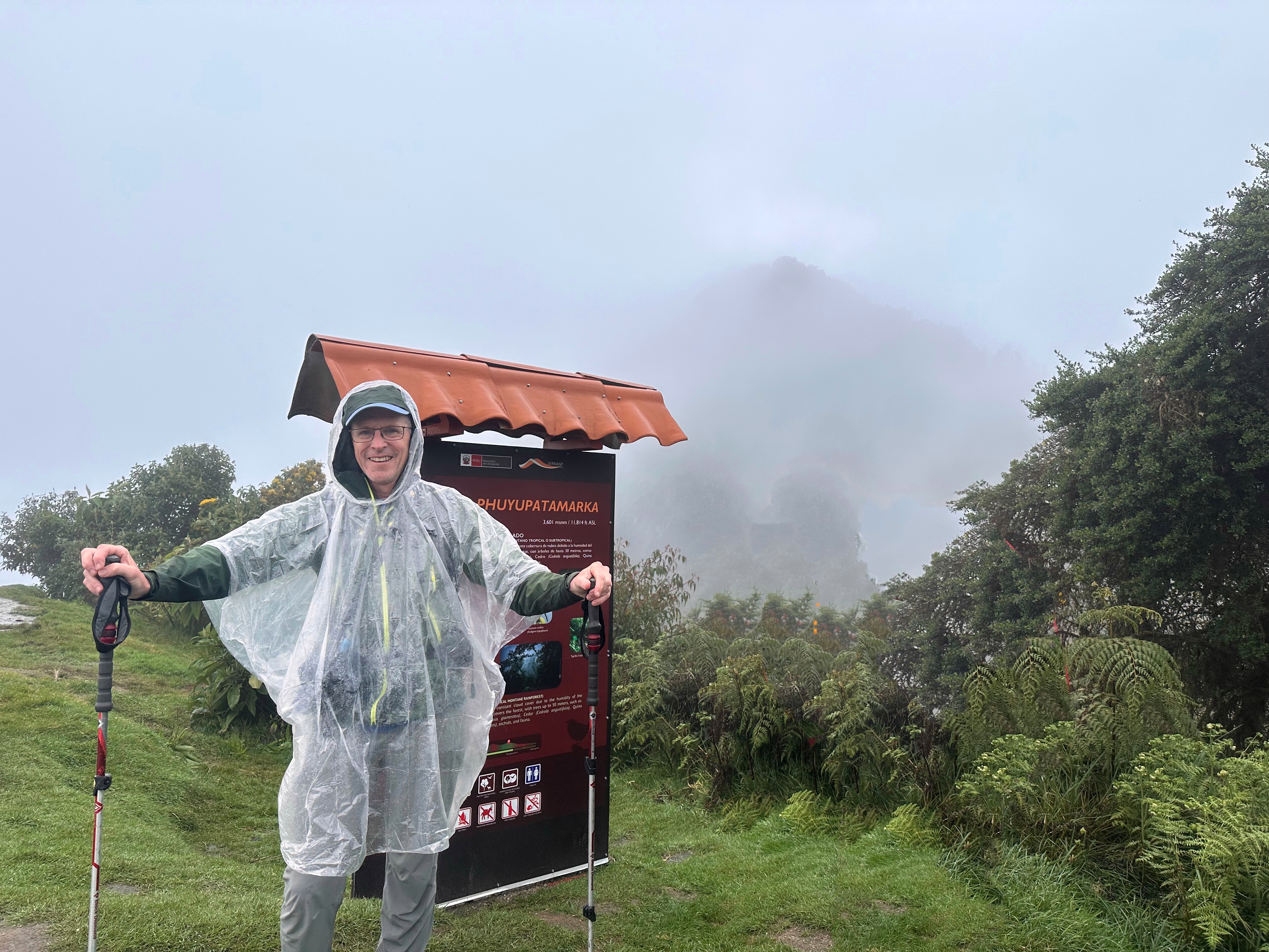
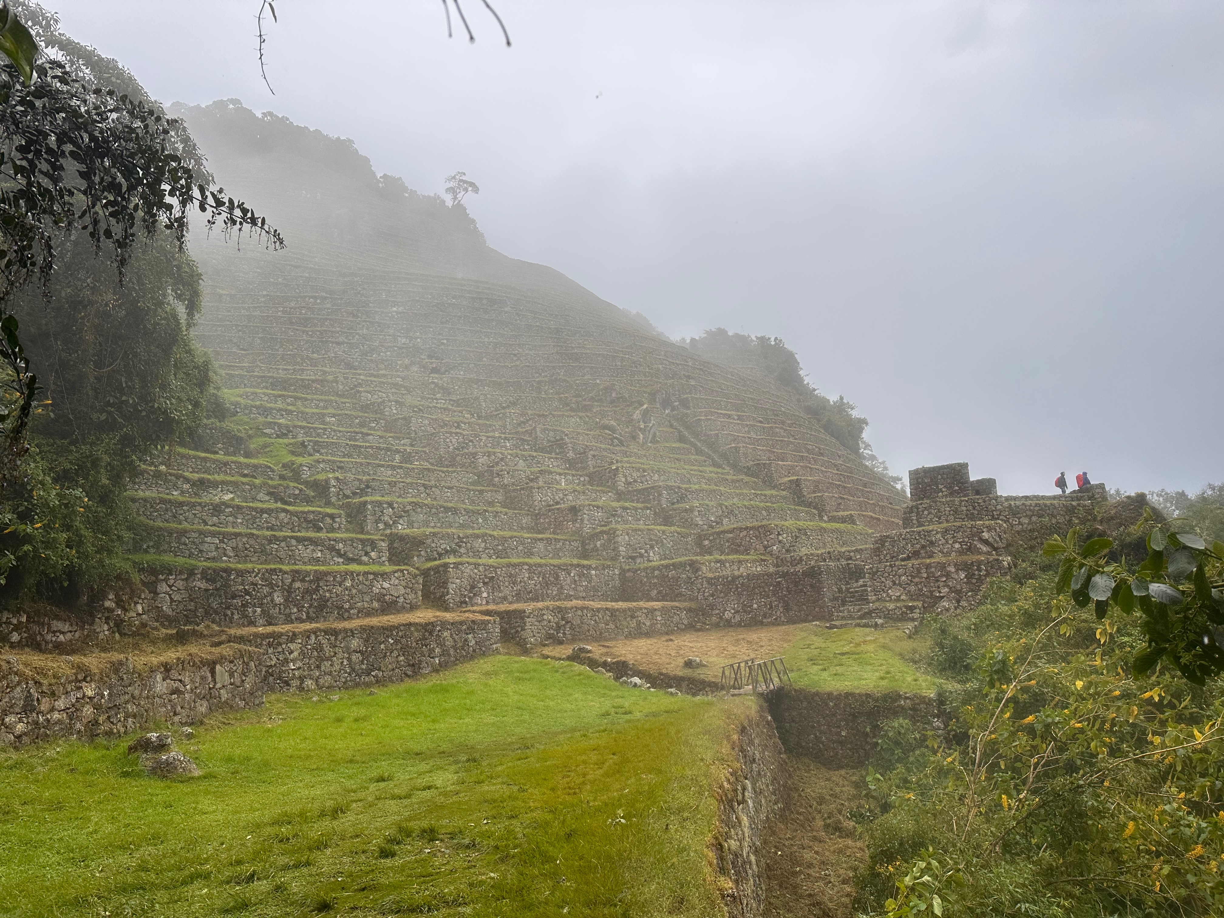
Phuyupatamarka (meaning Place of the Clouds) is listed as an Inca “spa” site where pilgrims would cleanse themselves in preparation for arrival at Machu Picchu. I have a mental picture of Inca’s lounging back in their hot tubs sipping their Pisco sours while looking down on Mt Machu Picchu.
Yes “picturing” as the Quechua name gives a clue. One has to imagine Mt Machu Picchu as there was no seeing it when we were there.
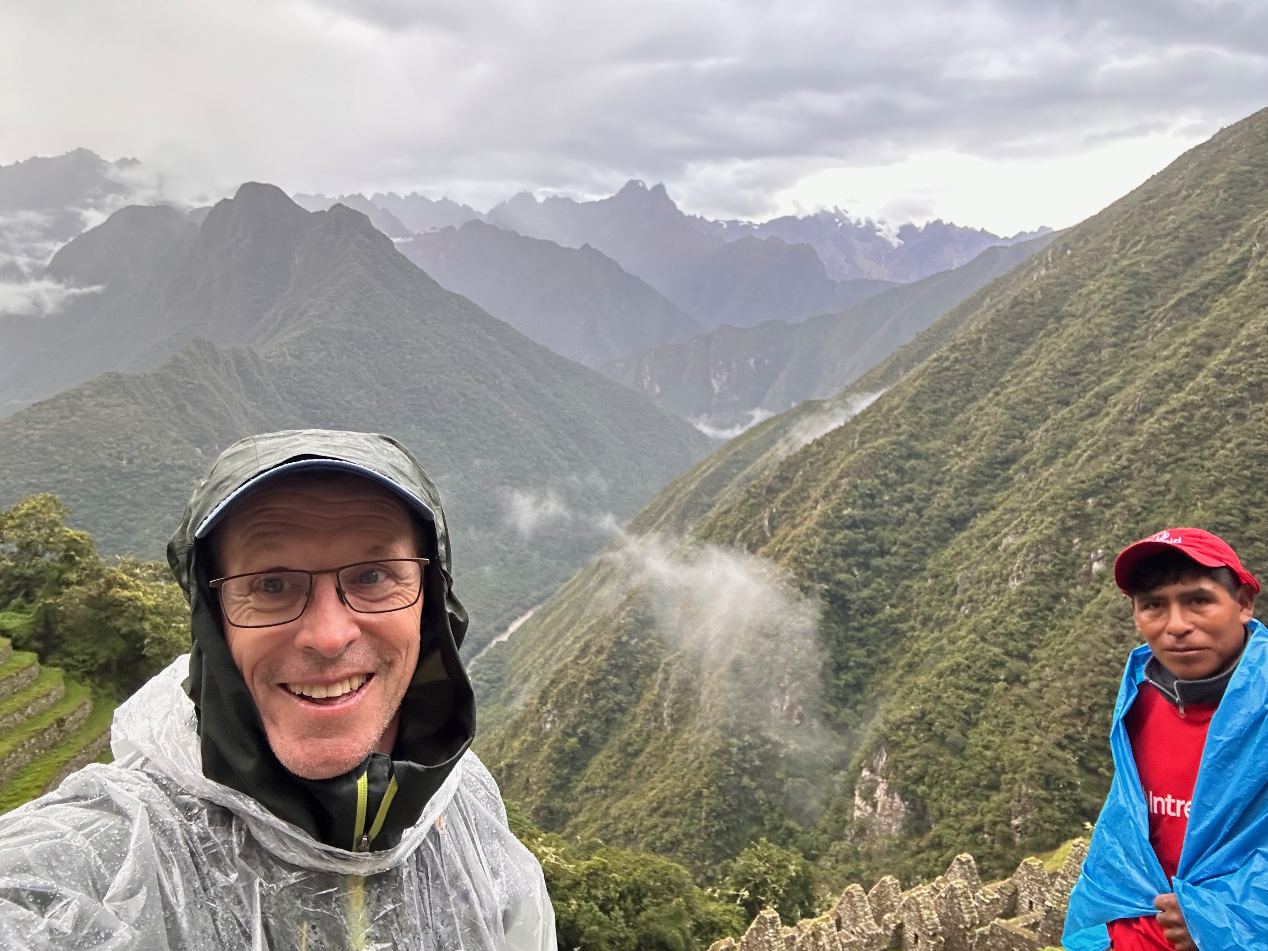
The rain did pause briefly after lunch as we explored the ruins, marvelled at the engineering and the still intact irrigation system and imagined the view. But, as we descended, it returned with a vengeance. At some times raining down so hard that waterfalls cascaded down the stone steps.
On the few times I was able to stop and snap a photo I didn’t realize that I happened to actually capture Mt Machu Picchu in the distance, poking through the clouds.
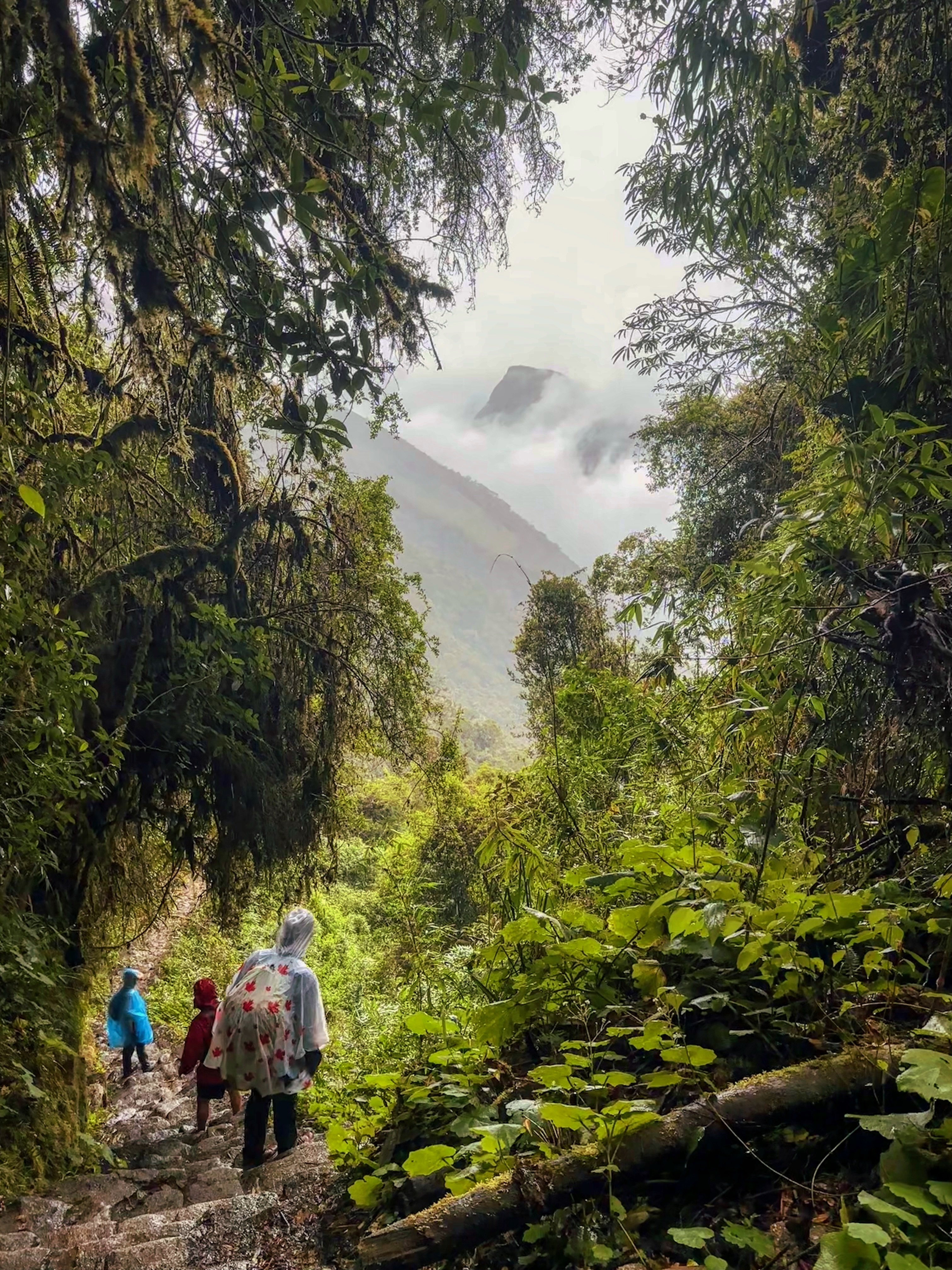
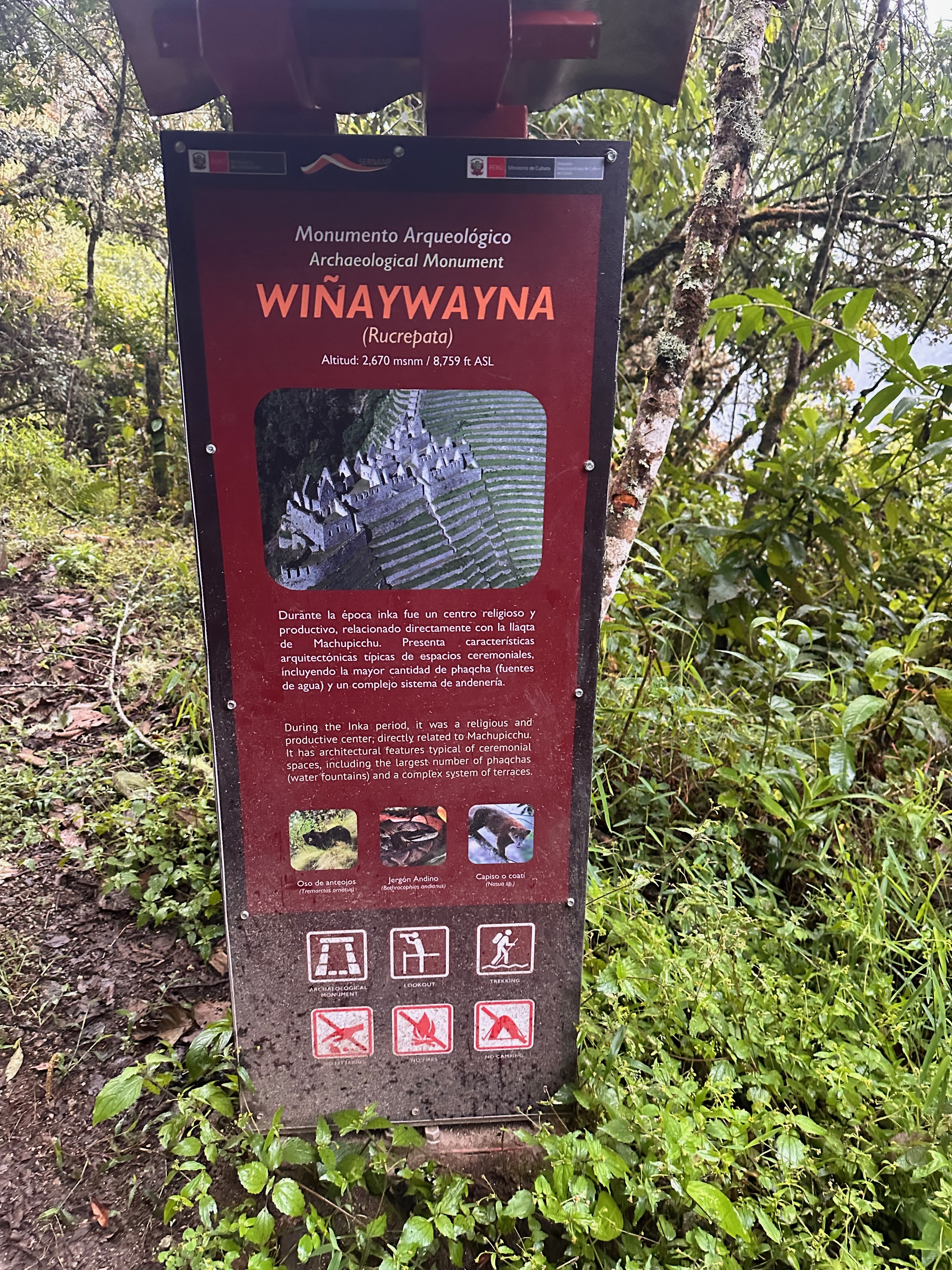
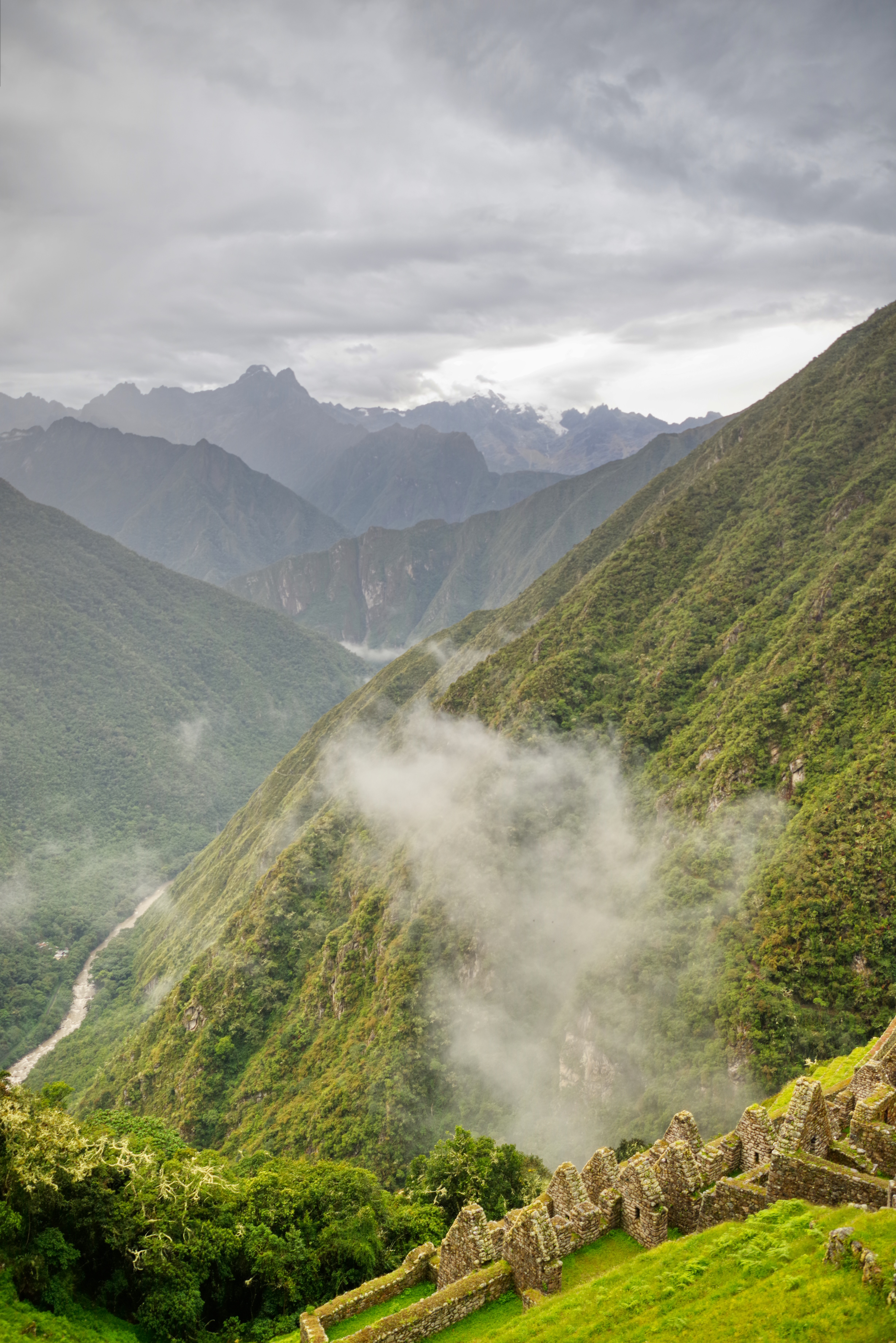
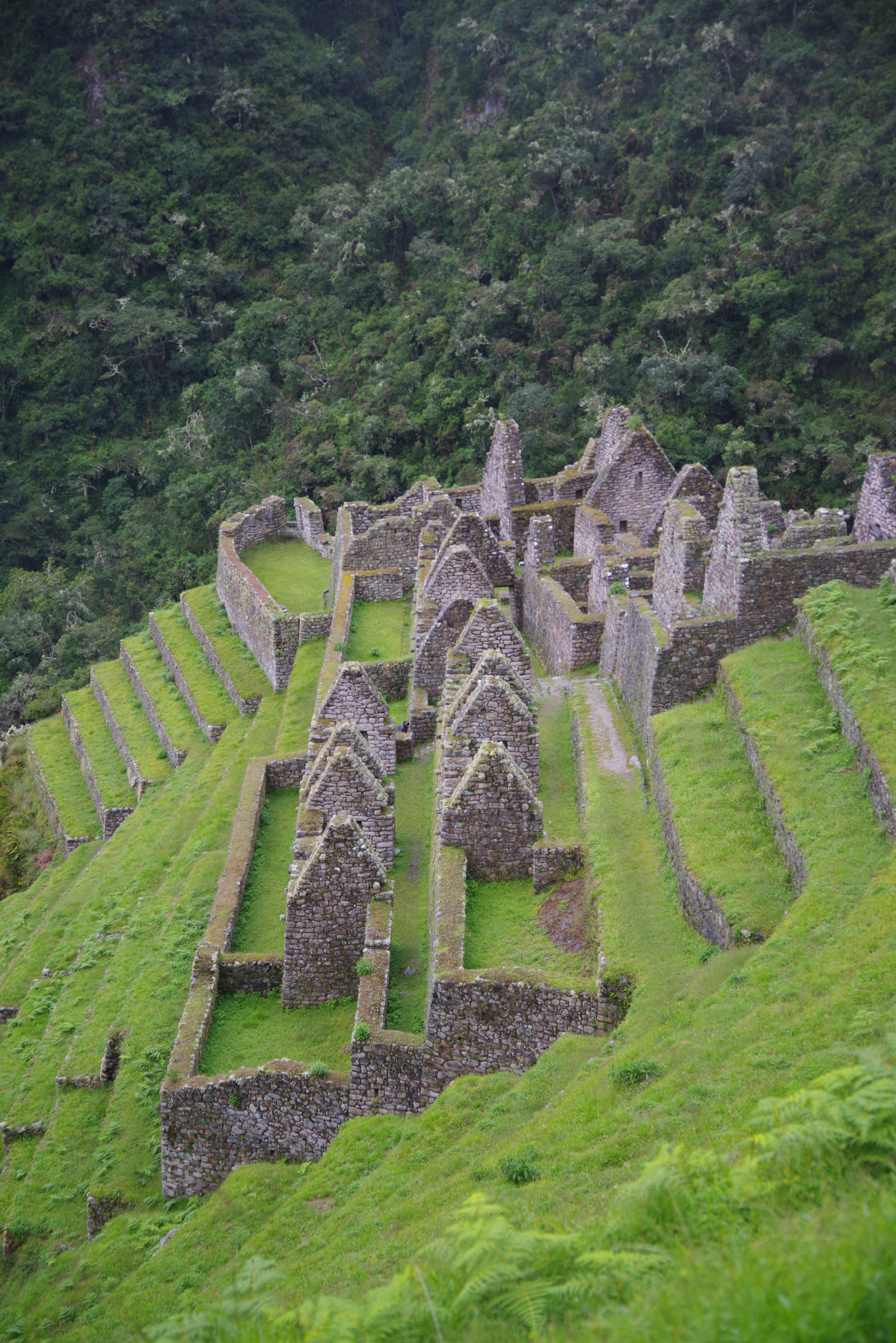
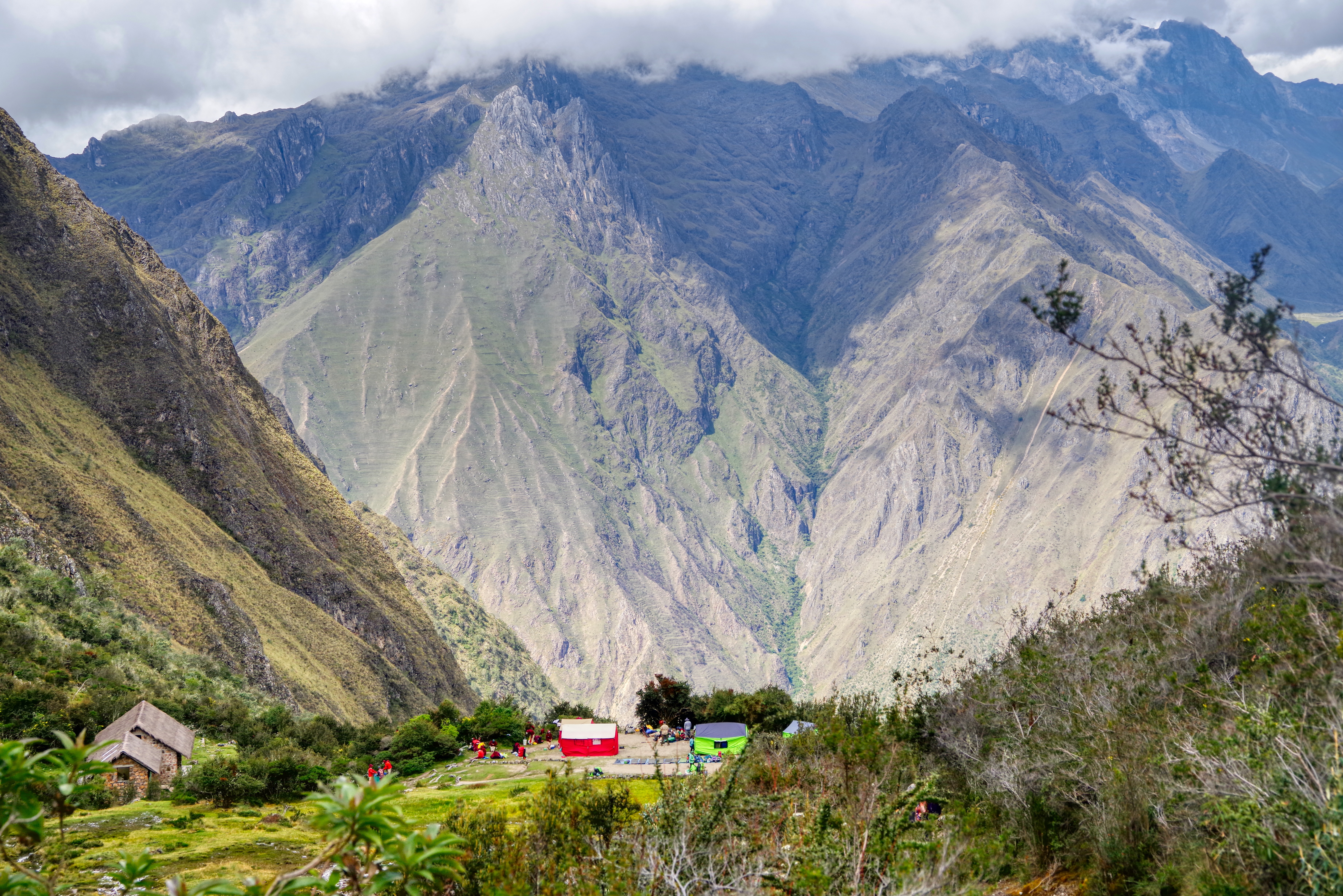
The ridge we were now descending was the continuation of the ridge that comes down from Mt Salcantay. The ridge that ends with at Machu Picchu (and the iconic Mt Huayna Picchu). The trail climbs up the north side of the ridge to cross it at Runqurakay (3970m), descends down and then back up the south side to cross again at Phuyupatamarka (3601 m) “above” Mt Machu Picchu (3000m) and descends down the north side to Winaywayna (2670m) below the mountain.
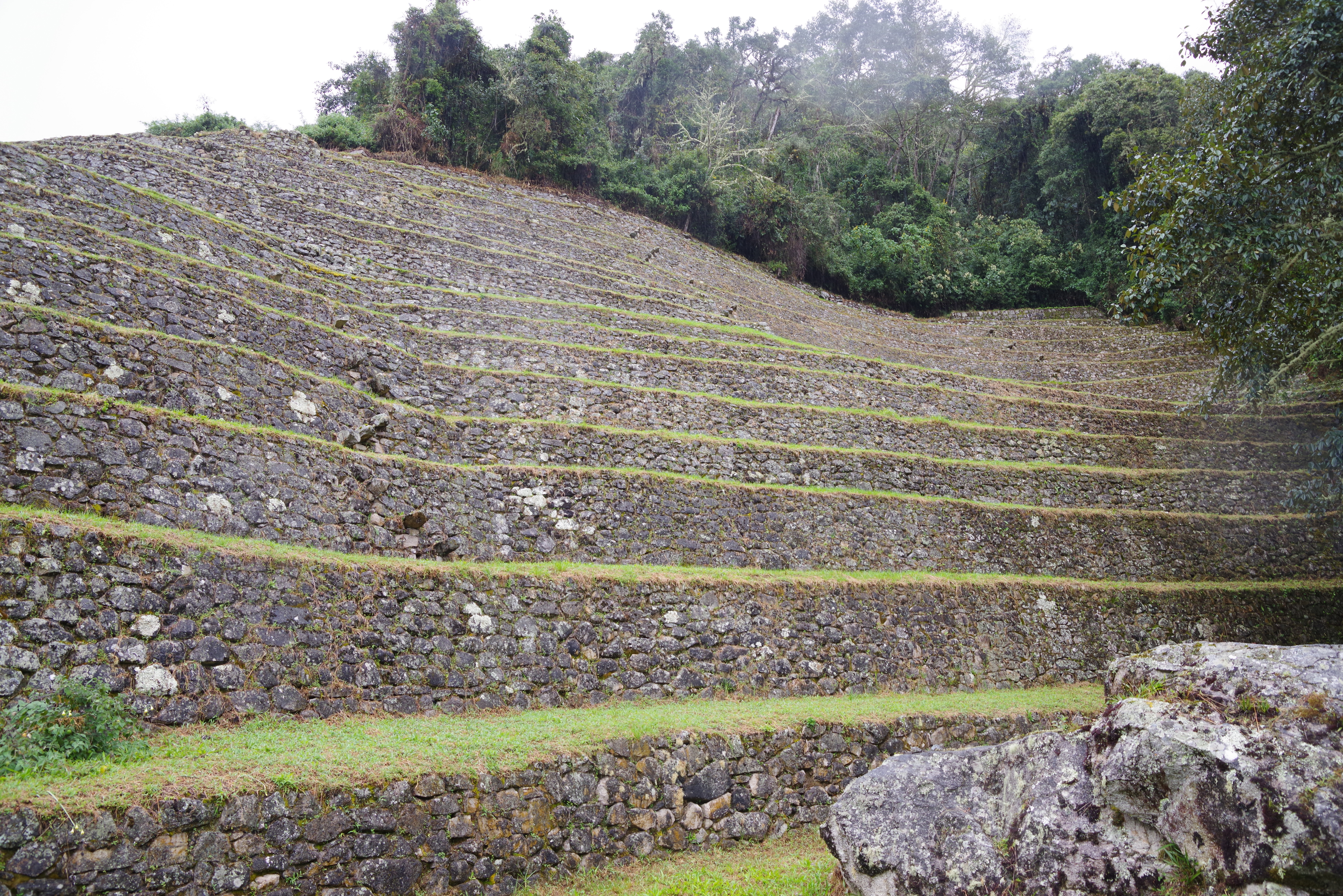
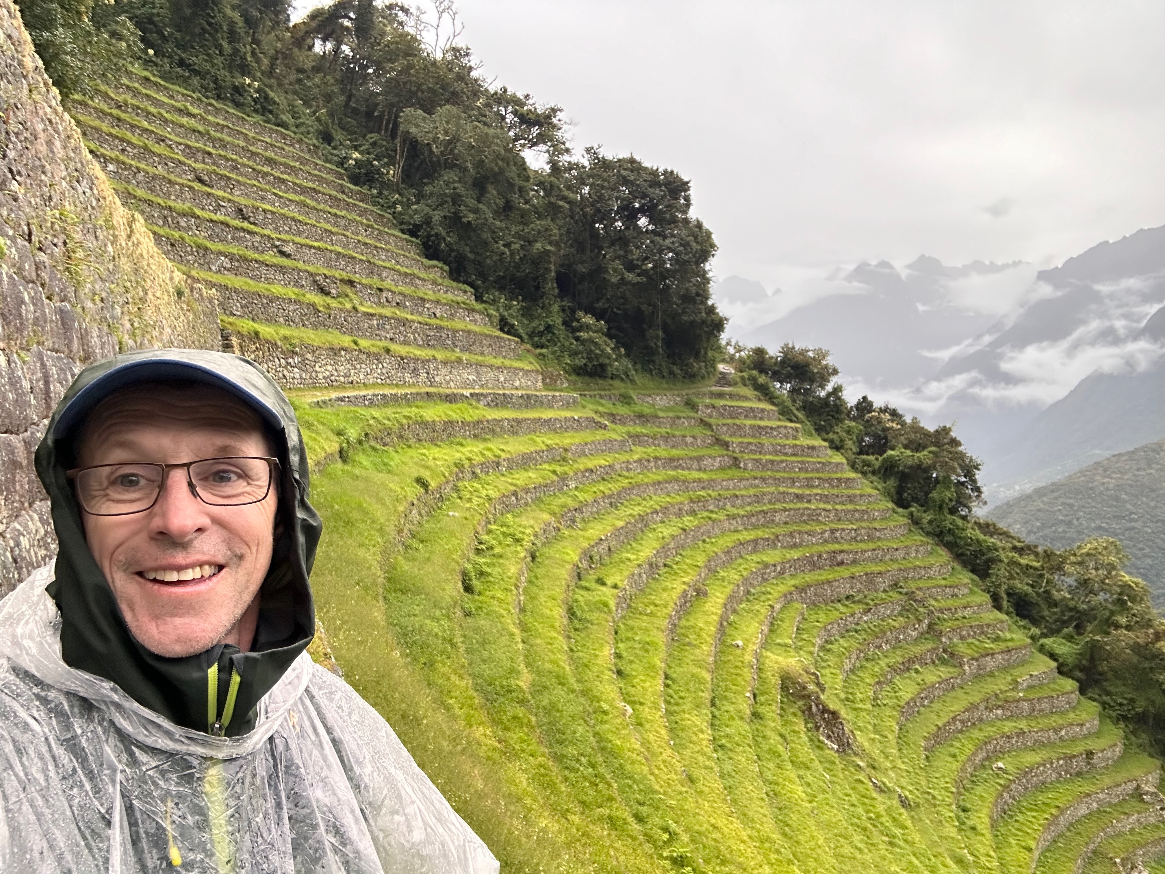
On the way down the trail passes across, beside and then back across the extensive ruins of Intipata. This means “Place of the Sun”. Not named on a day like today it seems. Part of the trail descends down the very treacherous, particularly in the rain, steps down the middle of the extensive terraces that were used for agriculture. A feature of the terracing was that different layers would thus be in different micro climates and thus able to grow different produce.
By this time Thea was very soaked and not at all interested in her dad lingering to study the construction and take photos.
It was also here that we got asked directions.
It’s a thing.
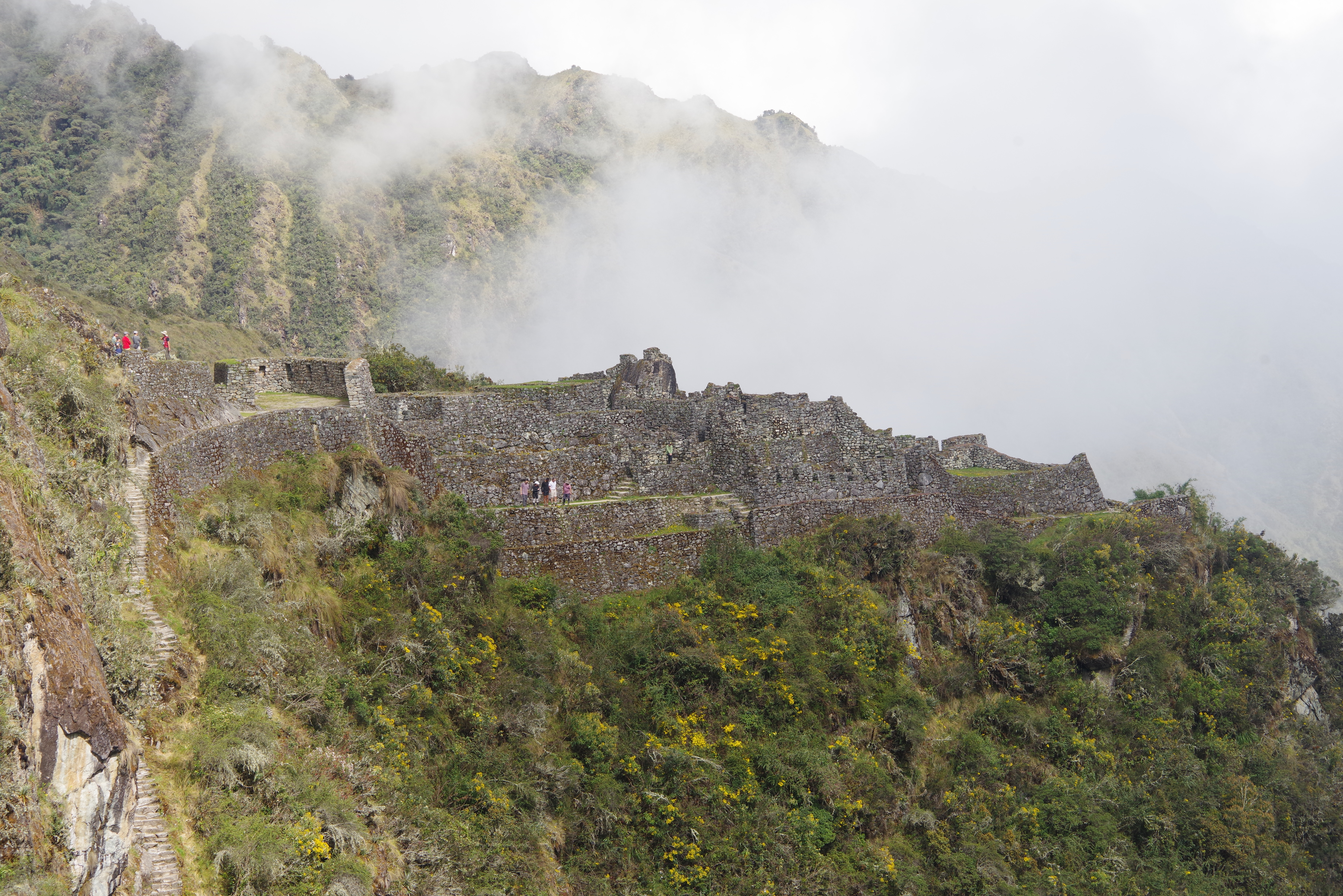
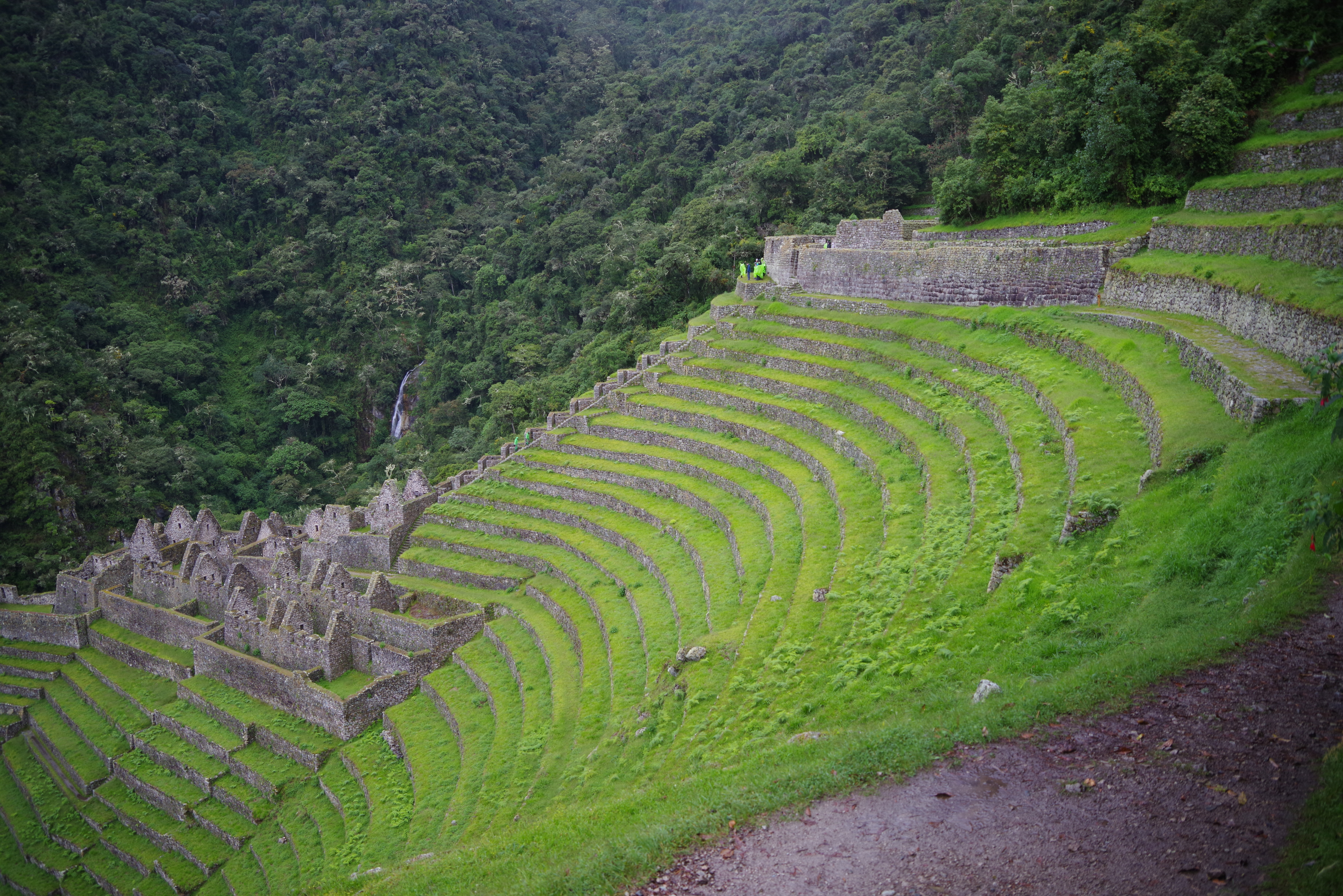
We sloshed into camp and no-one else was at all interested in going the further 300m to the equally extensive Winaywayna ruins. Possibly the most impressive ones on the trail. Particularly in the way they are carved/constructed into the curve of the valley.
I’m also picturing the engineers..
“Look boss. The river is _right_ there!”
In all 14.7km and 934m elevation gain. And a lot of descent!
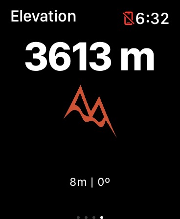
We were awakened at 530 am with freshly brewed, very strong coffee as well as a bowl of warm water with which to do our limited morning “freshen up”. All was in preparation for what was to be the big day. This was the day I was most concerned about. I felt I could manage the distance, having been walking and hiking a fair distance in preparation, but not at this altitude. Coupled with my slight anemia I was worried about my oxygen carrying capacity combined with the reduced partial pressure at altitude.
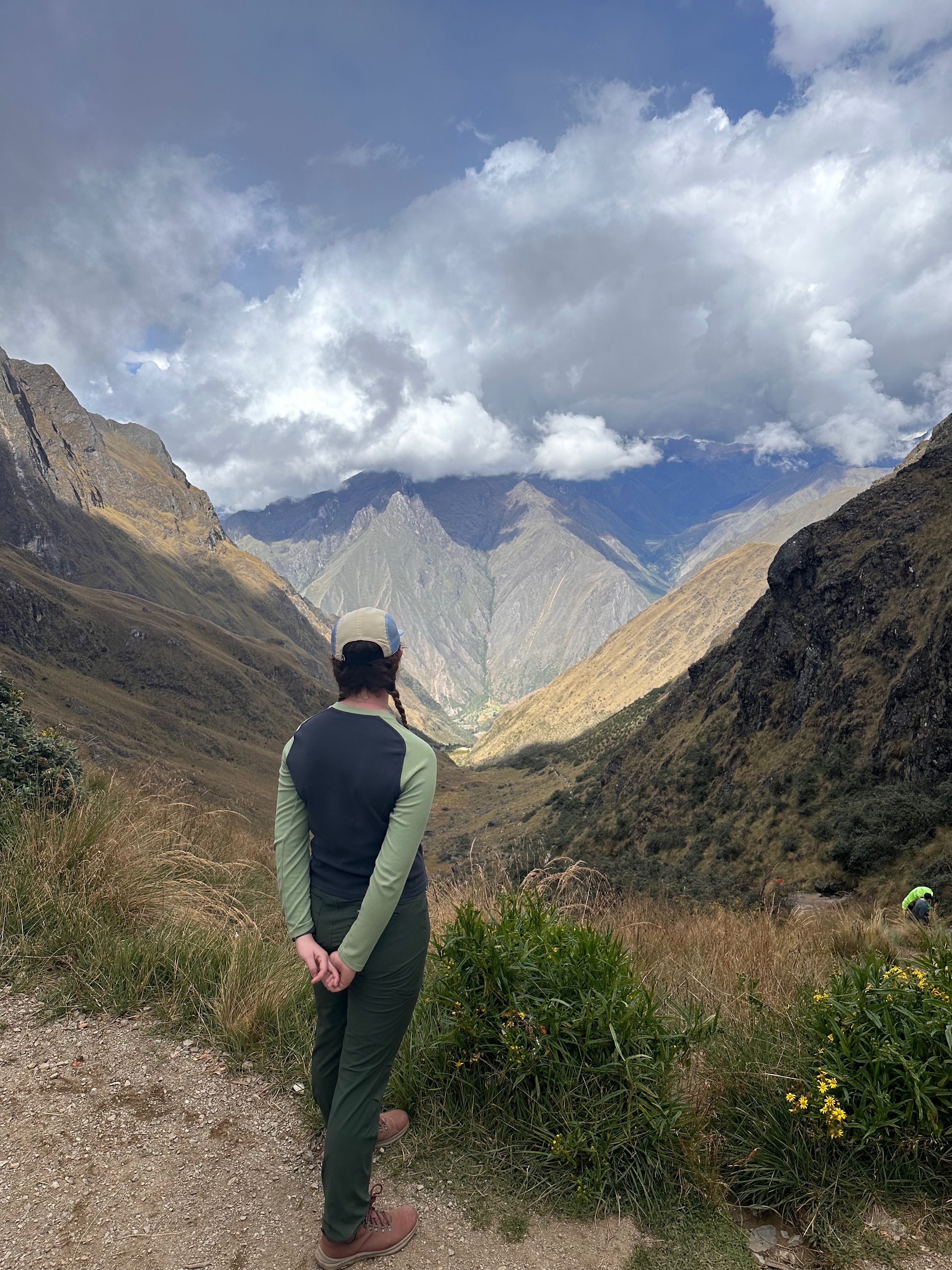
Today we are going to go over Dead Woman’s Pass at 4215m. Only hiking a distance of 10Km but with a vertical gain of 1577m!
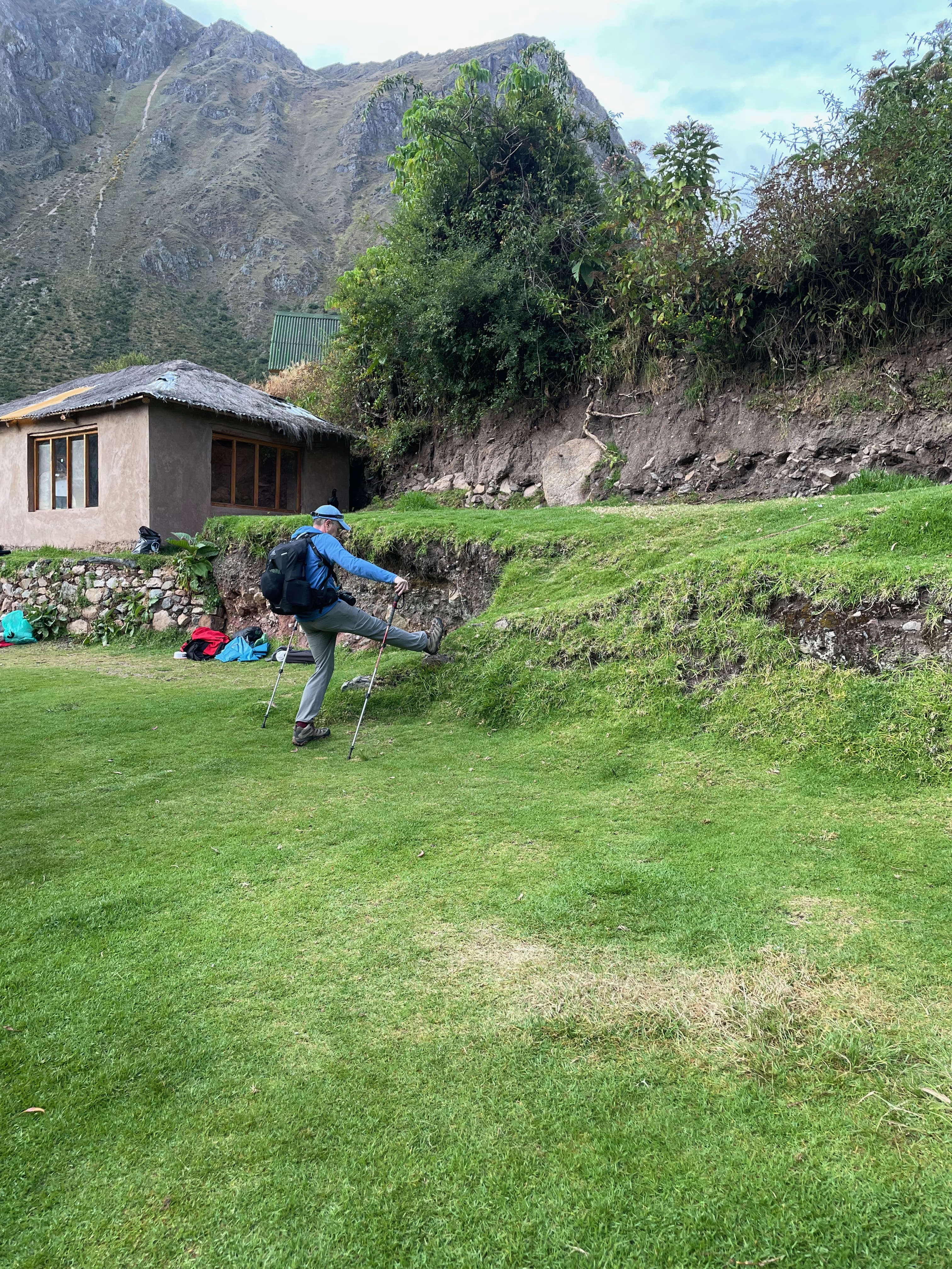
But first the morning stretches!
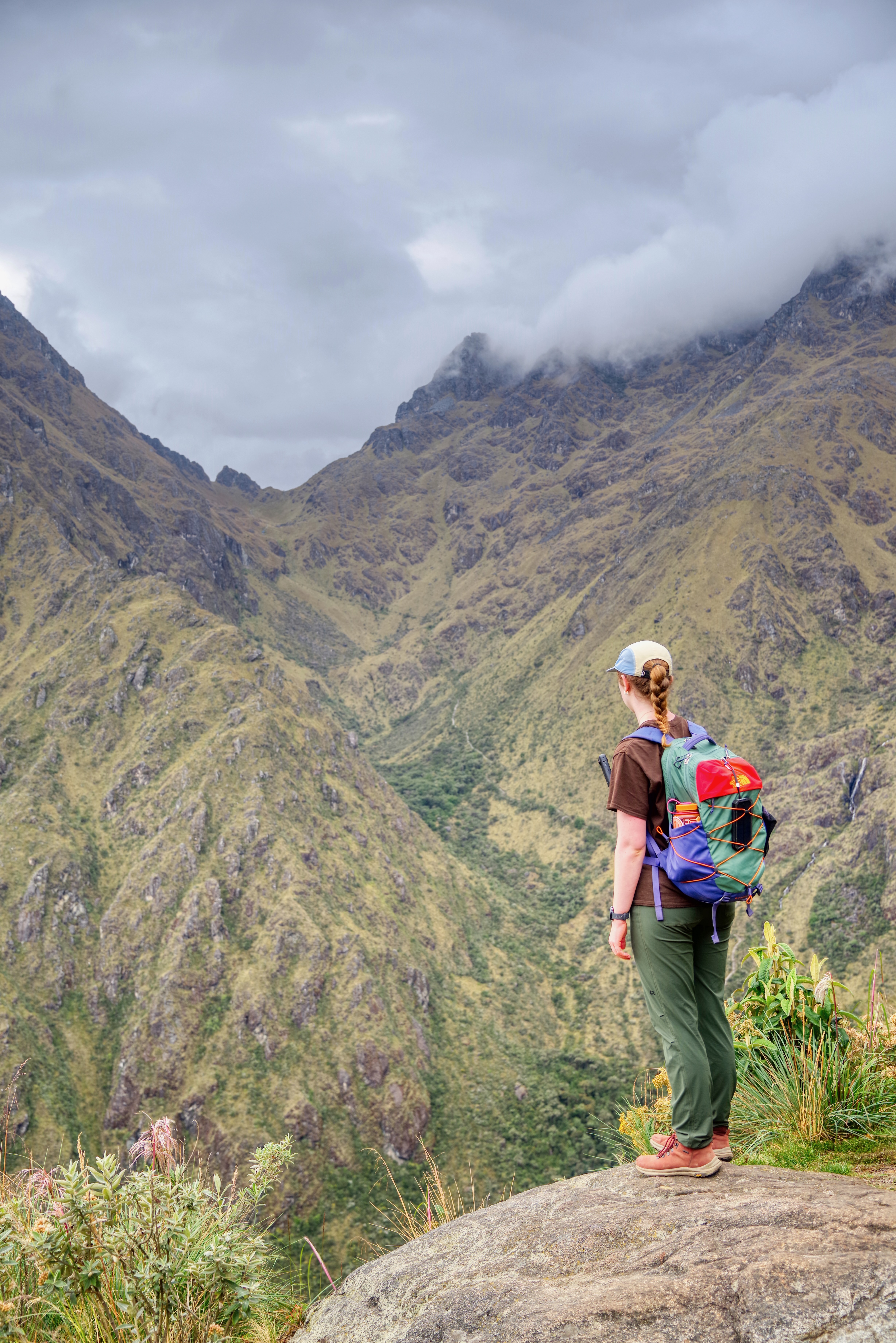
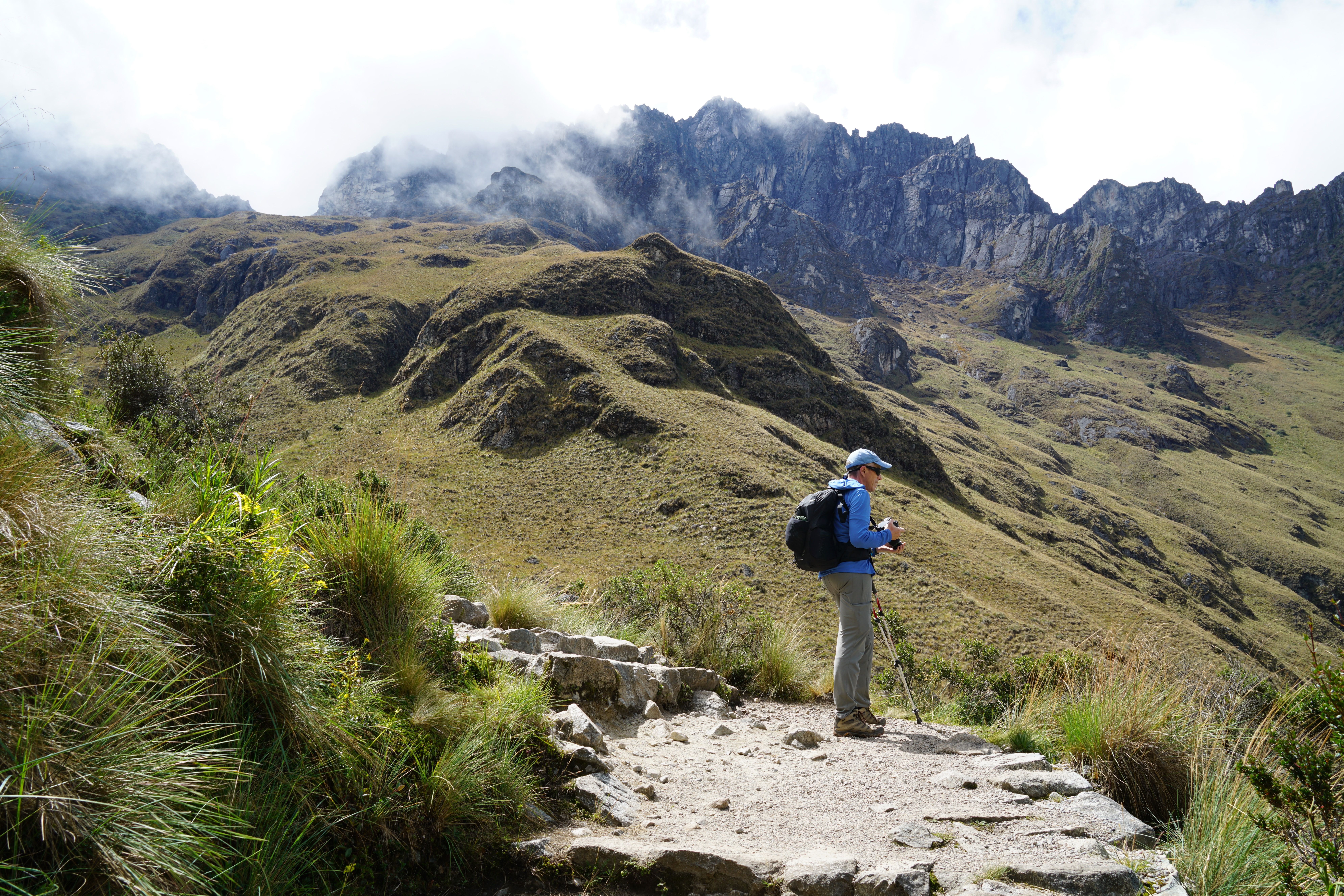
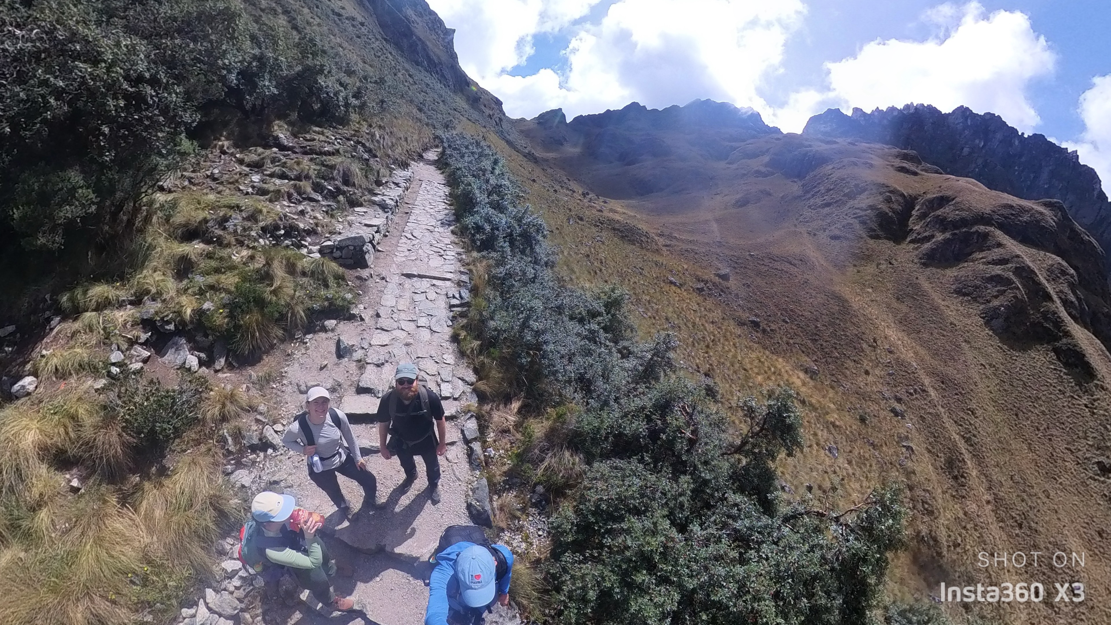
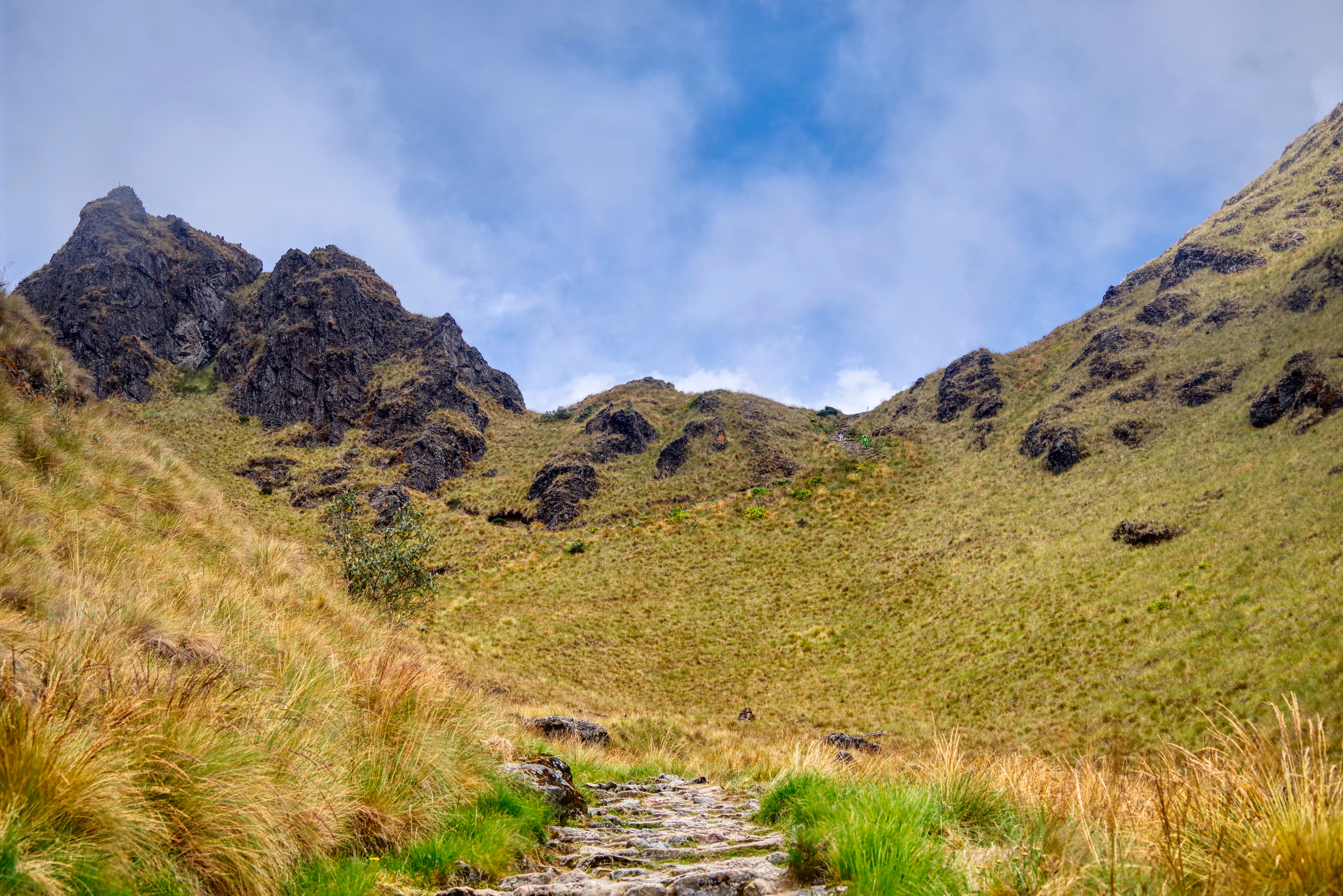
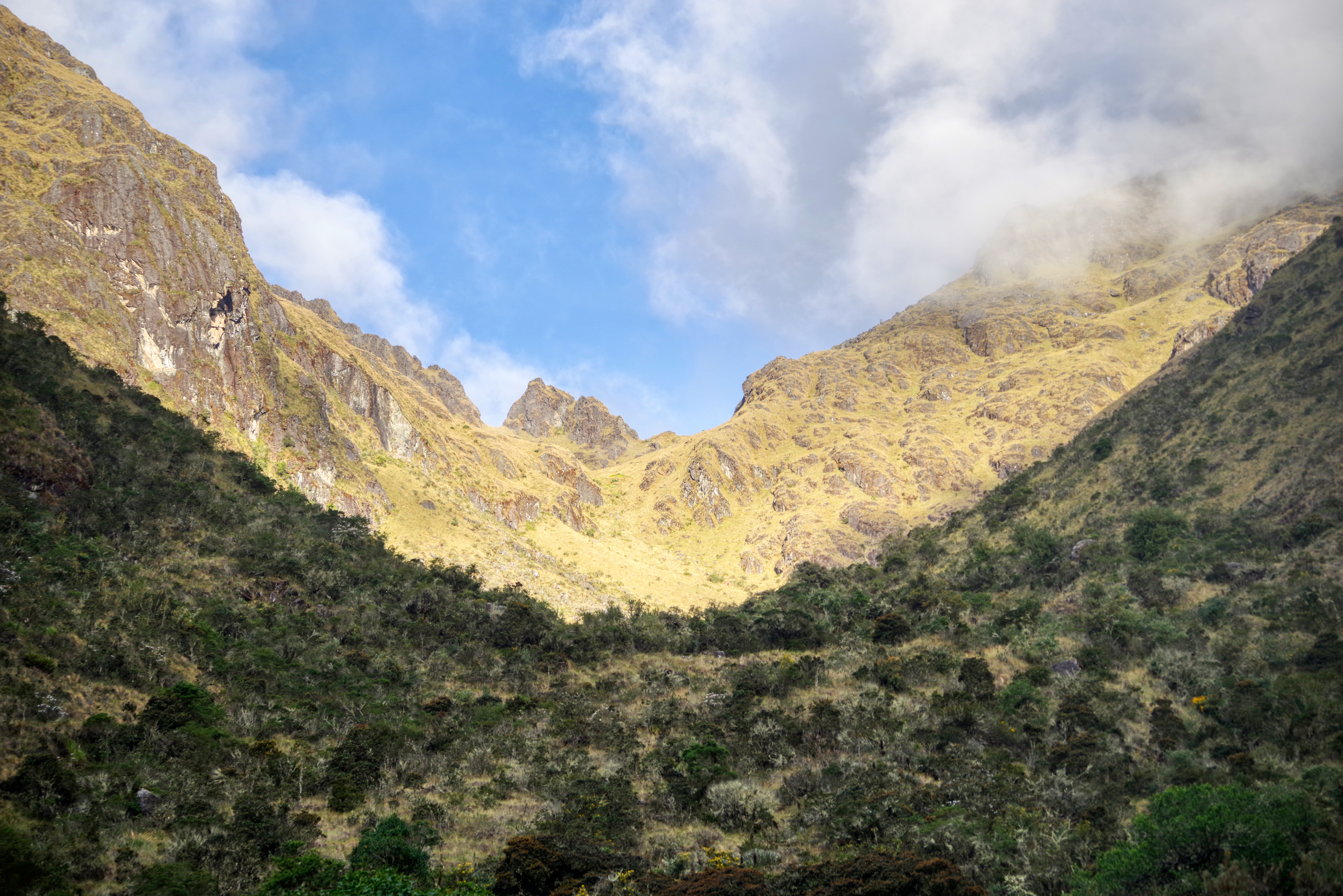
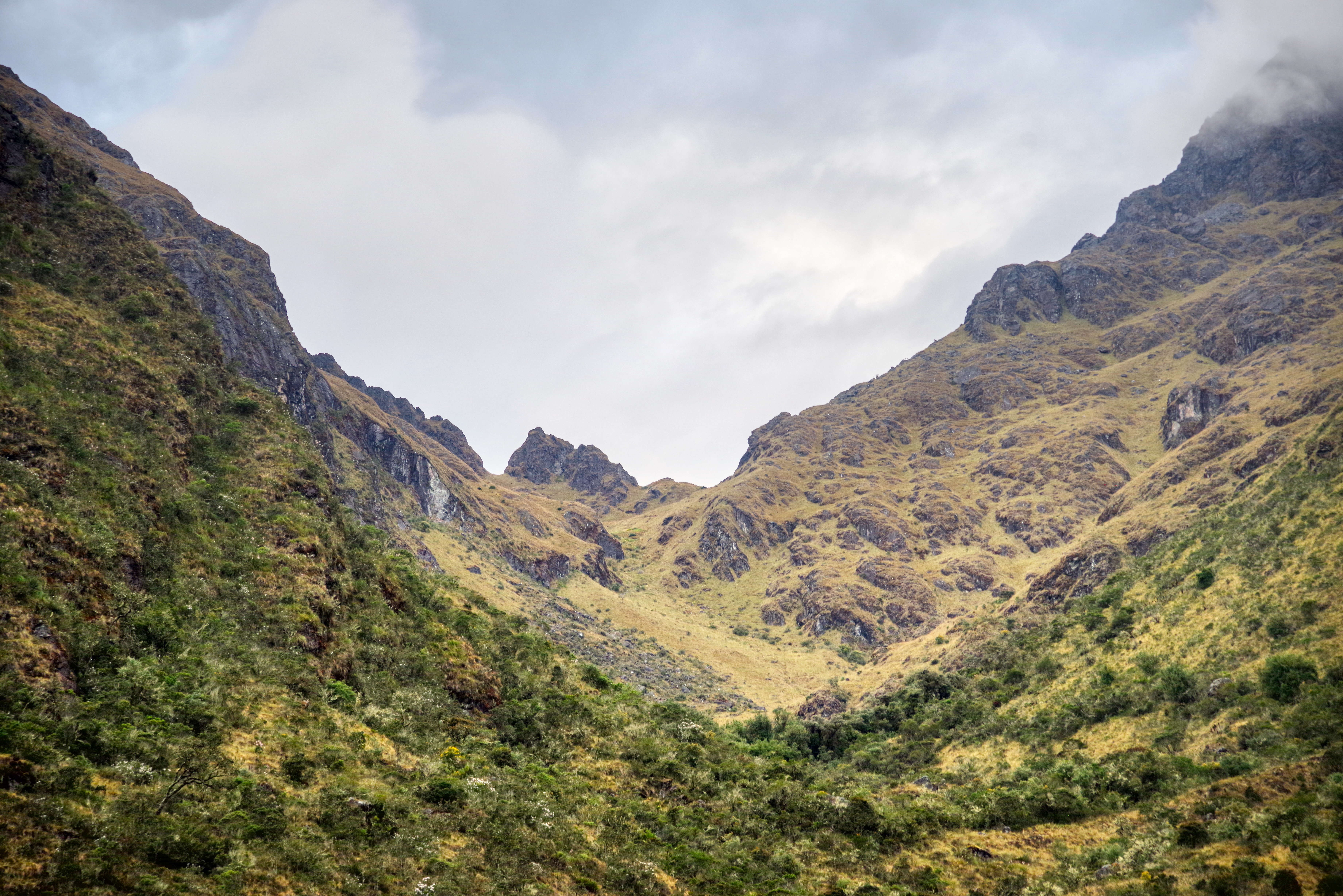
Along the way we got regular glimpses of the pass which surprised me. I expected to be only able to see it as we got close but we were offered regular at times frustratingly tantalizing views. Often it seemed so close, yet we knew it was so far.
Our first view of the pass
As we ascended up into the cloud forest the flora changed. Lots of summer wildflowers adorned the path.
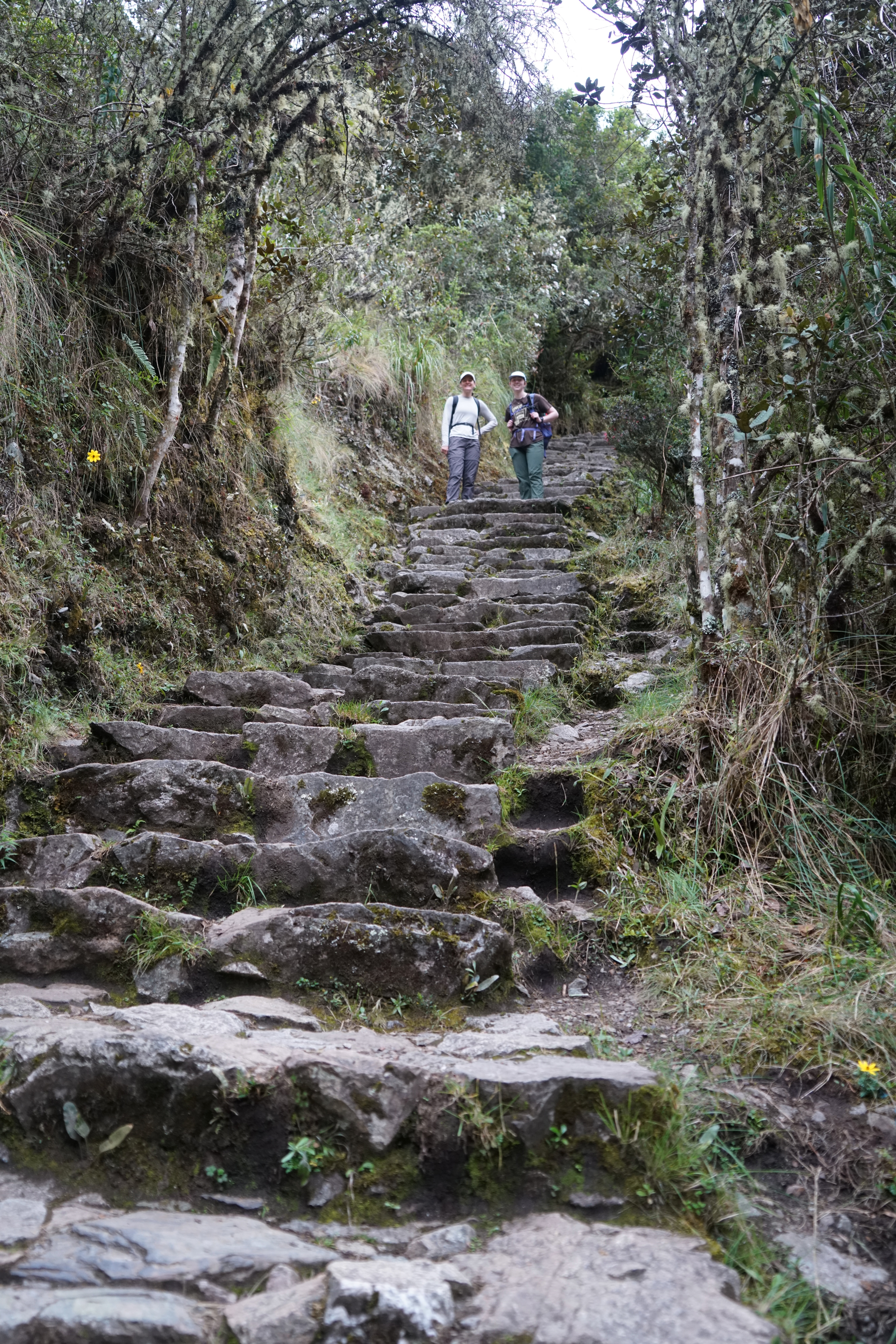
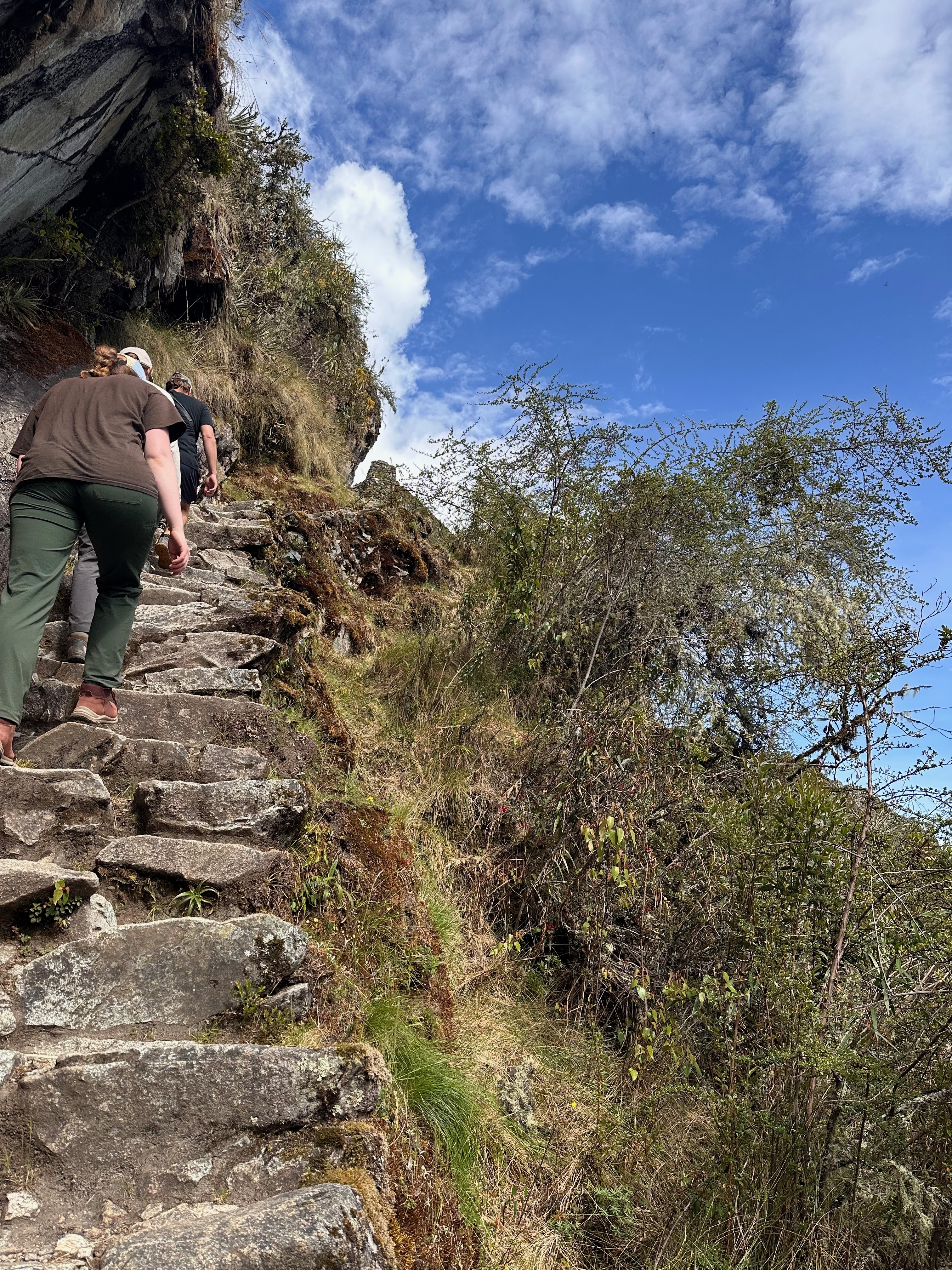
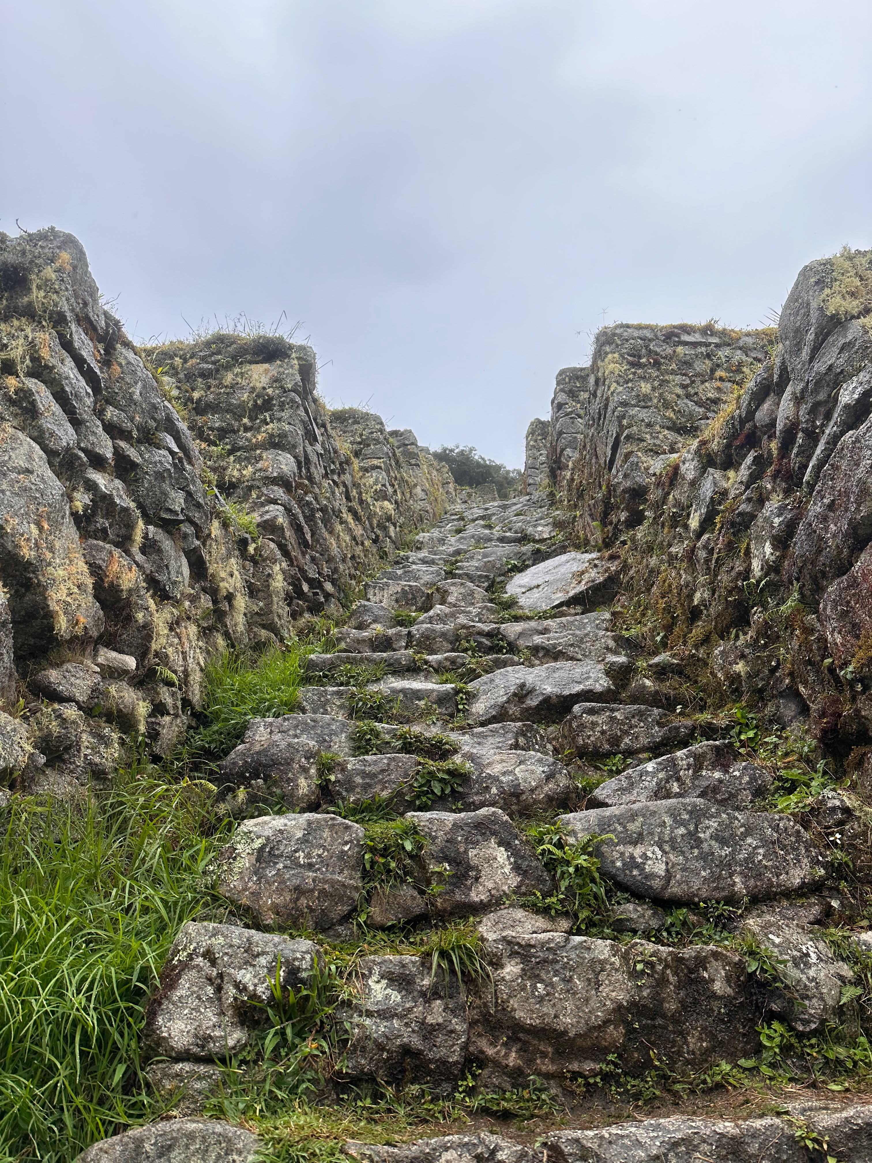
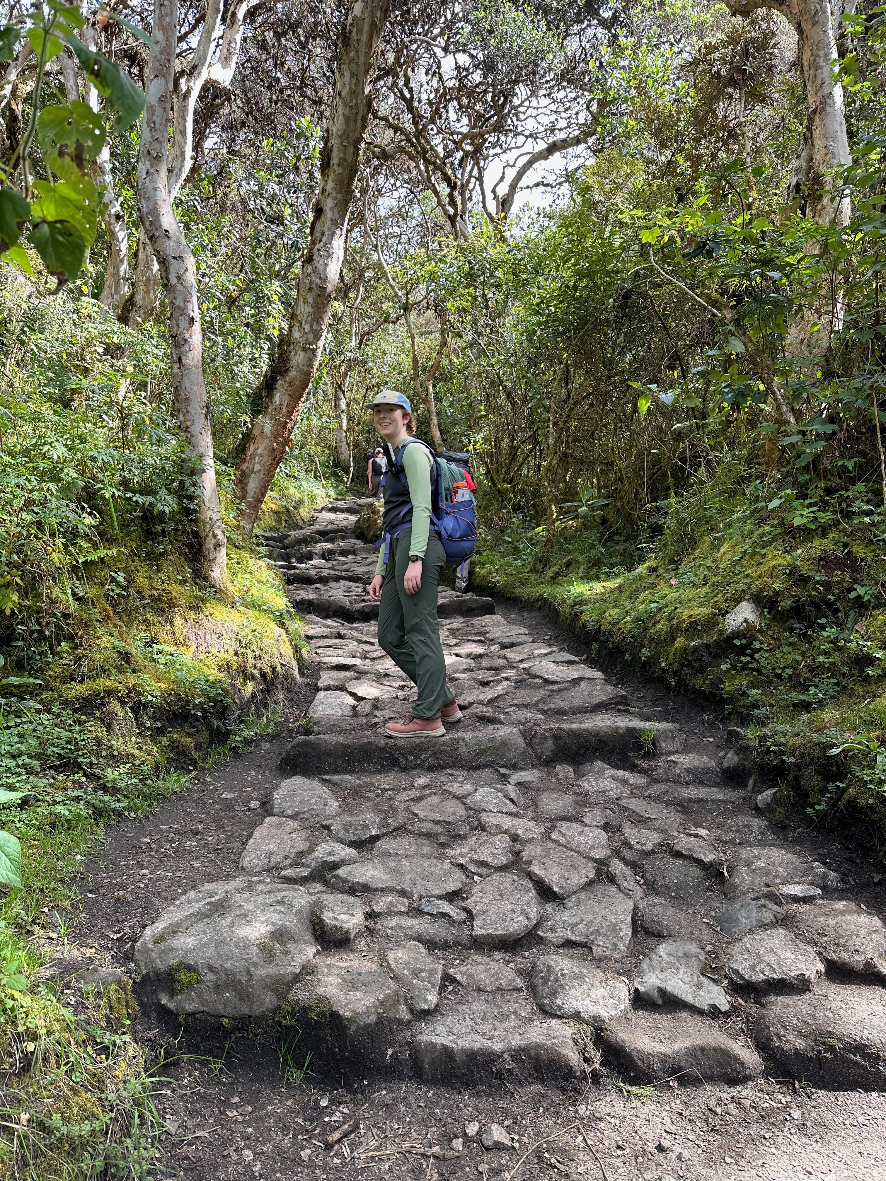
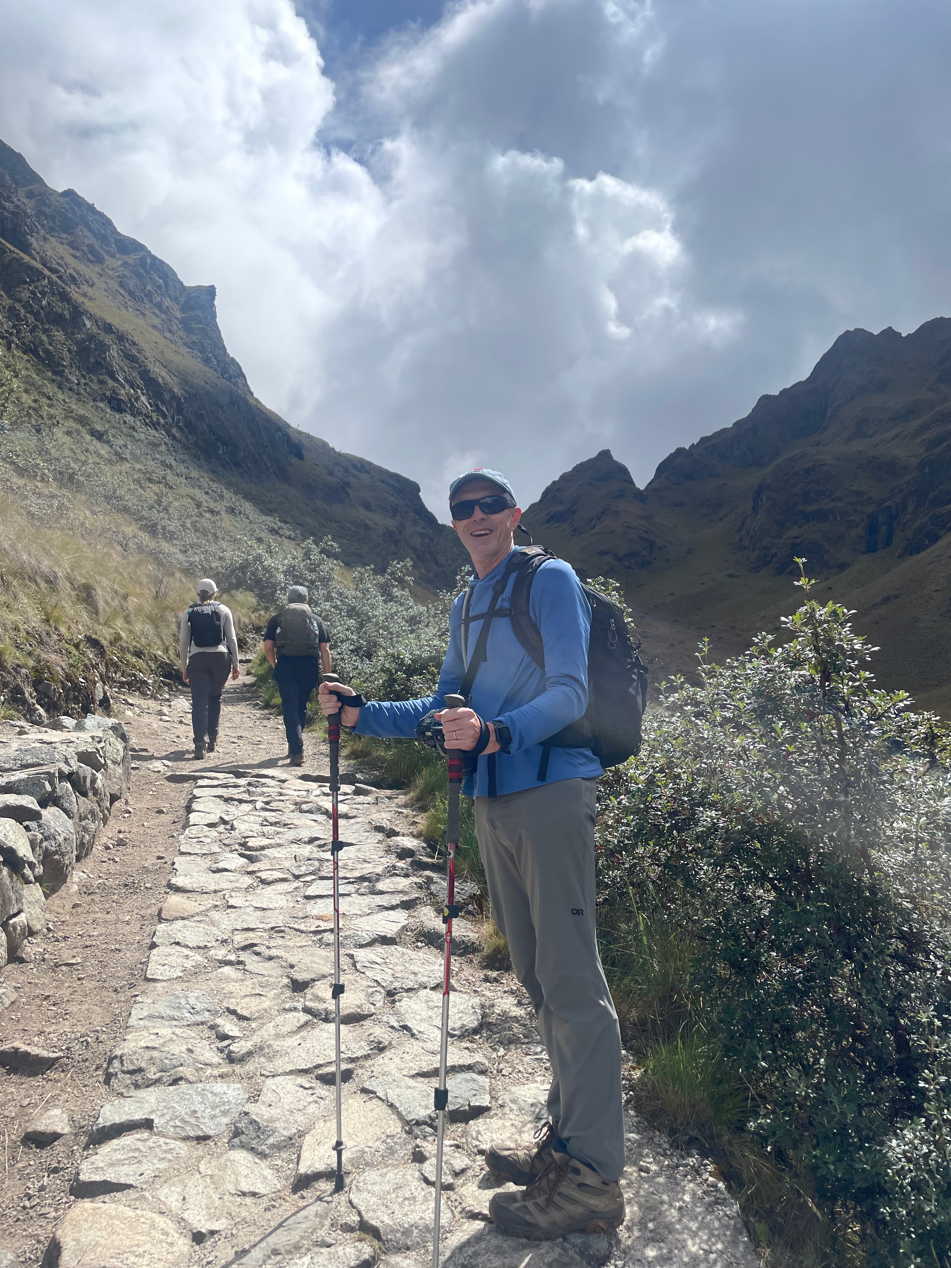
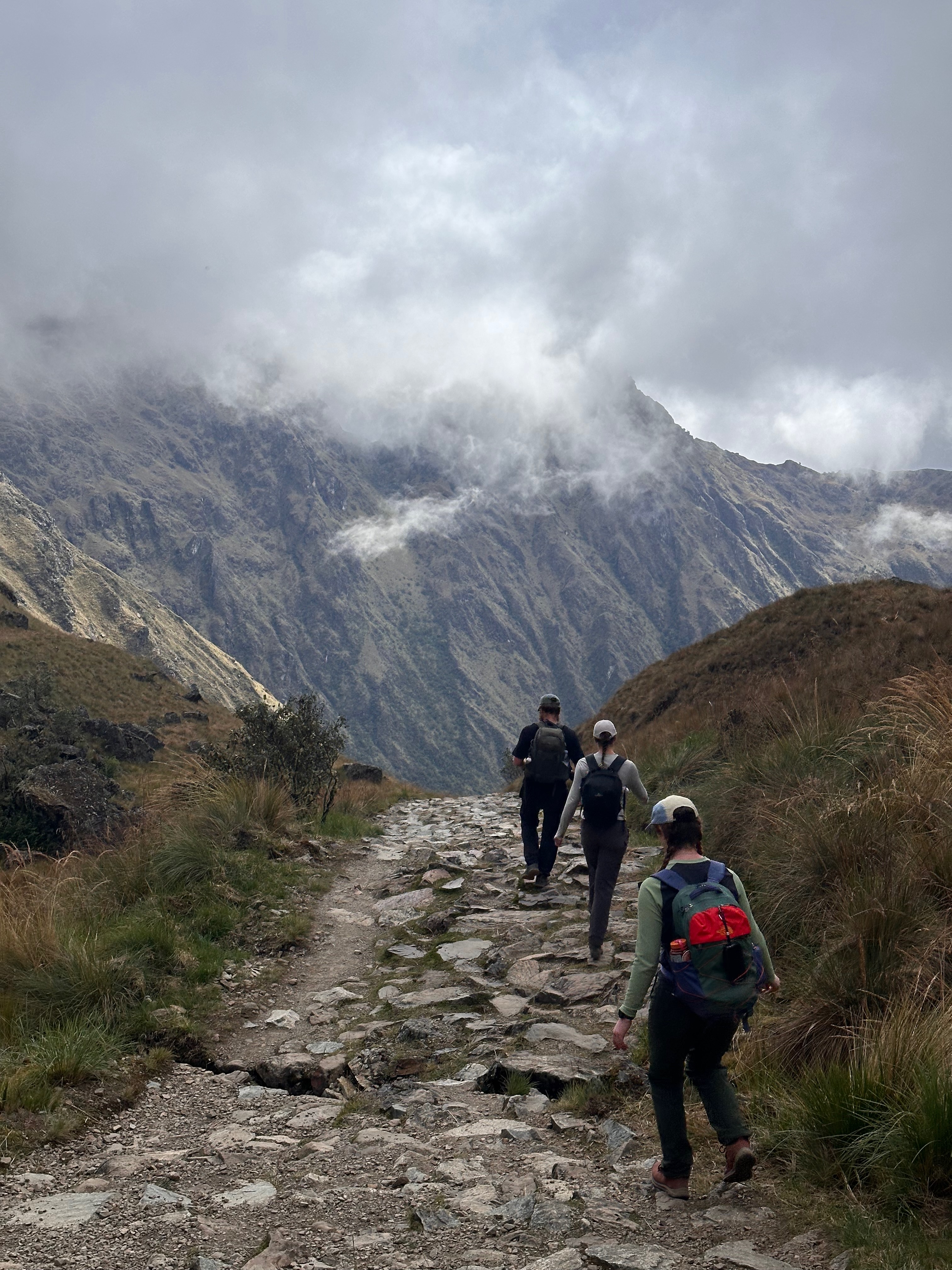
Today was also when the path transitioned from the mostly gravel road that linked the small communities along the path to the true Inca paved pathway. Comment is often made about the number of steps. What I found trickier was the paved parts that were still at a considerable incline. Harder to climb and more inclined to be slippery.
The Real Trail
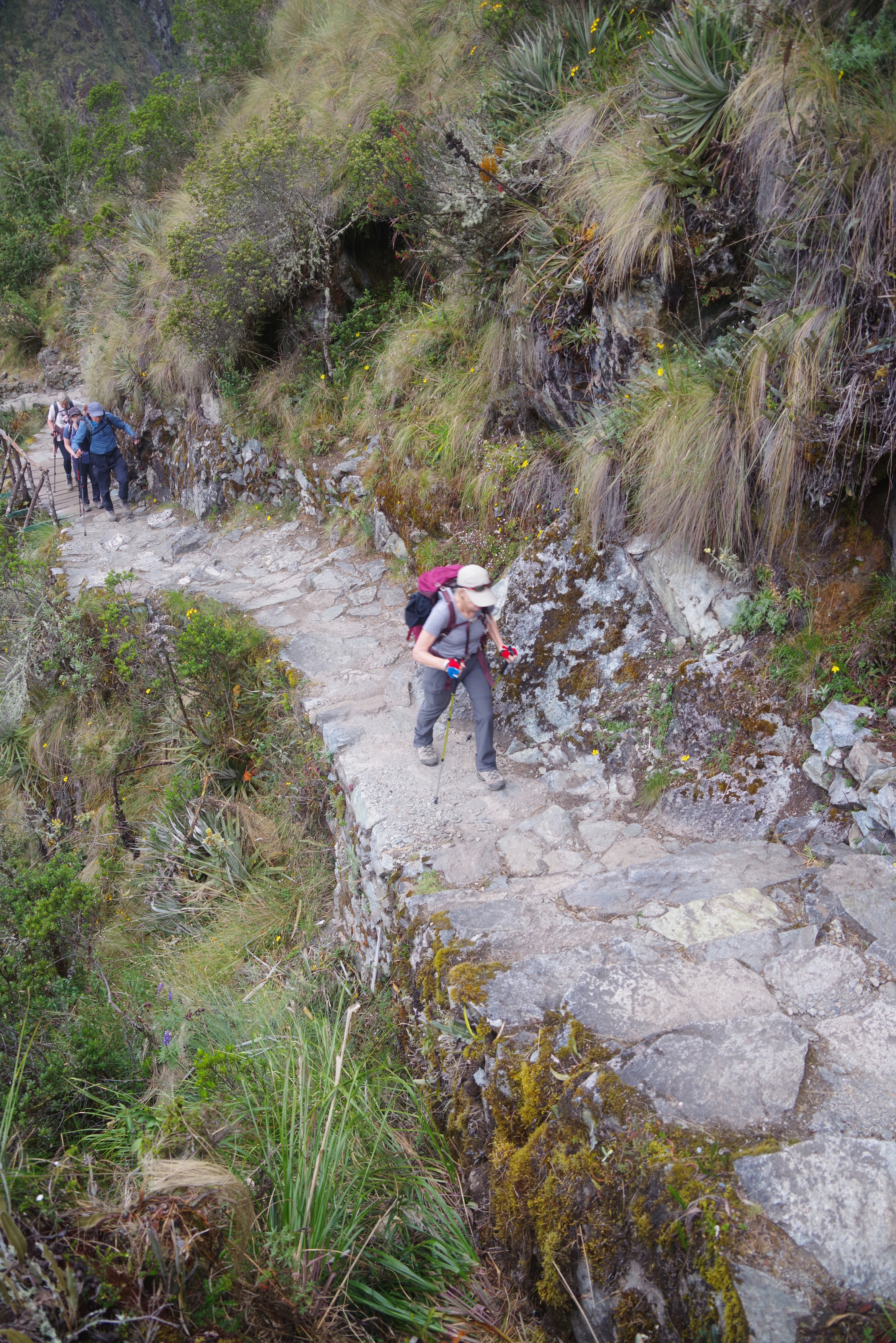
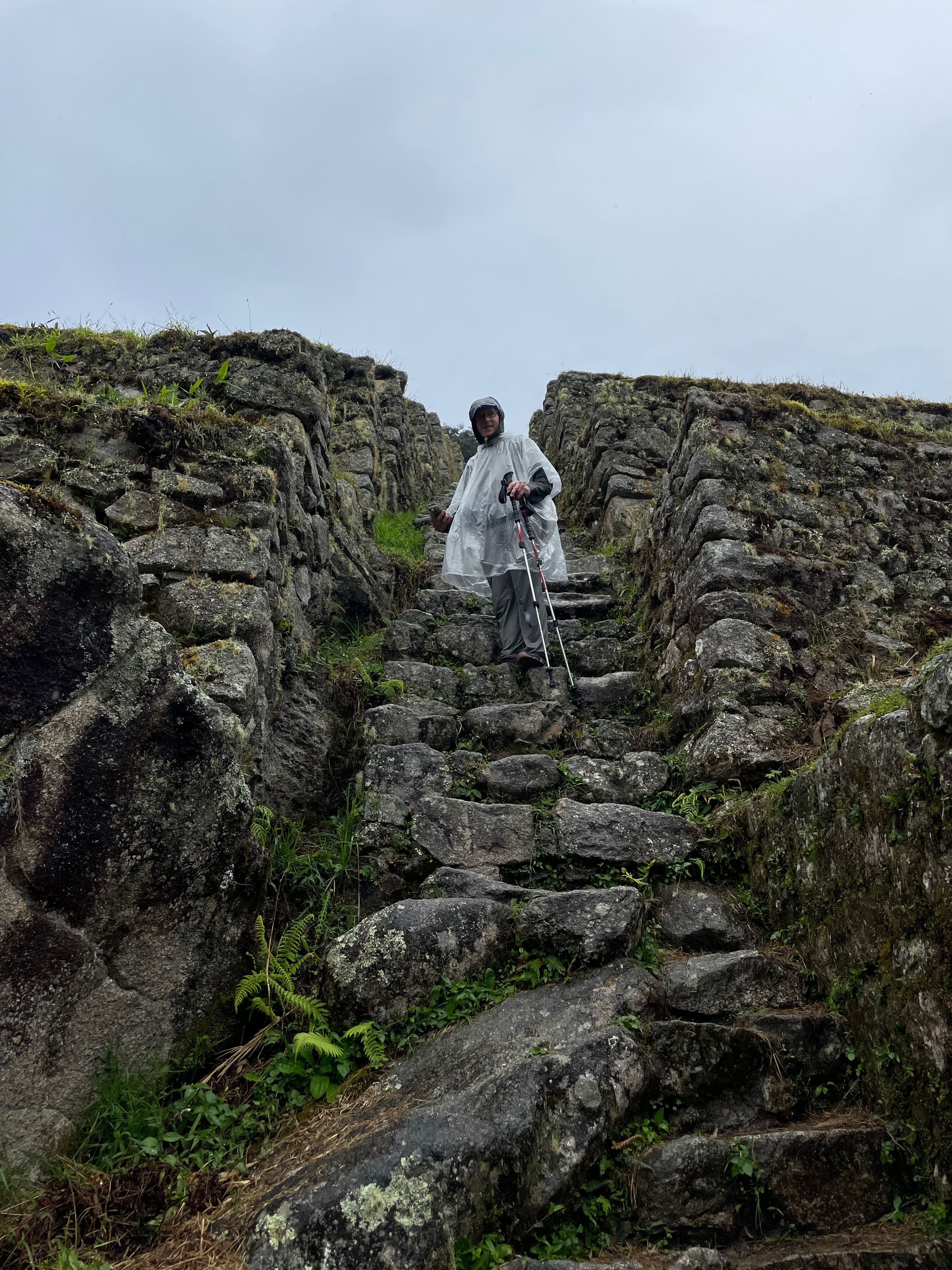
We were warned to watch out for the beguiling large, smooth flat rocks which could quickly become slippery. Thea would also call out any loose ones in my path.
Lunch (at 10am!) was at Llulluchapampa at 3760m where we started to emerge above the forest.
Lunch with a viewThe Pass
It was then the last push over the top. It was here that I discovered my “oxygenation limit” was at about 4000m. The last 200m of vertical was slow going. I would walk 10 to 20 paces, my heart rate would jump to 150, I would pause to let it come down a bit, and then walk 10-20 more.
Normally we would hike a 12-15 min km. For the trail I was expecting to take 30 min per km. Well on this last section it was 45-60 min per km.
Pausing to see where we’ve beenWhere we’ve beenWhere we were goingThe Last PushPausing to let my heart rate come down
The initial 5km-ish hike to lunch at Llulluchapampa (with many sight seeing stops along the way) took about 3 hours. The last 2km to the pass took over an hour!
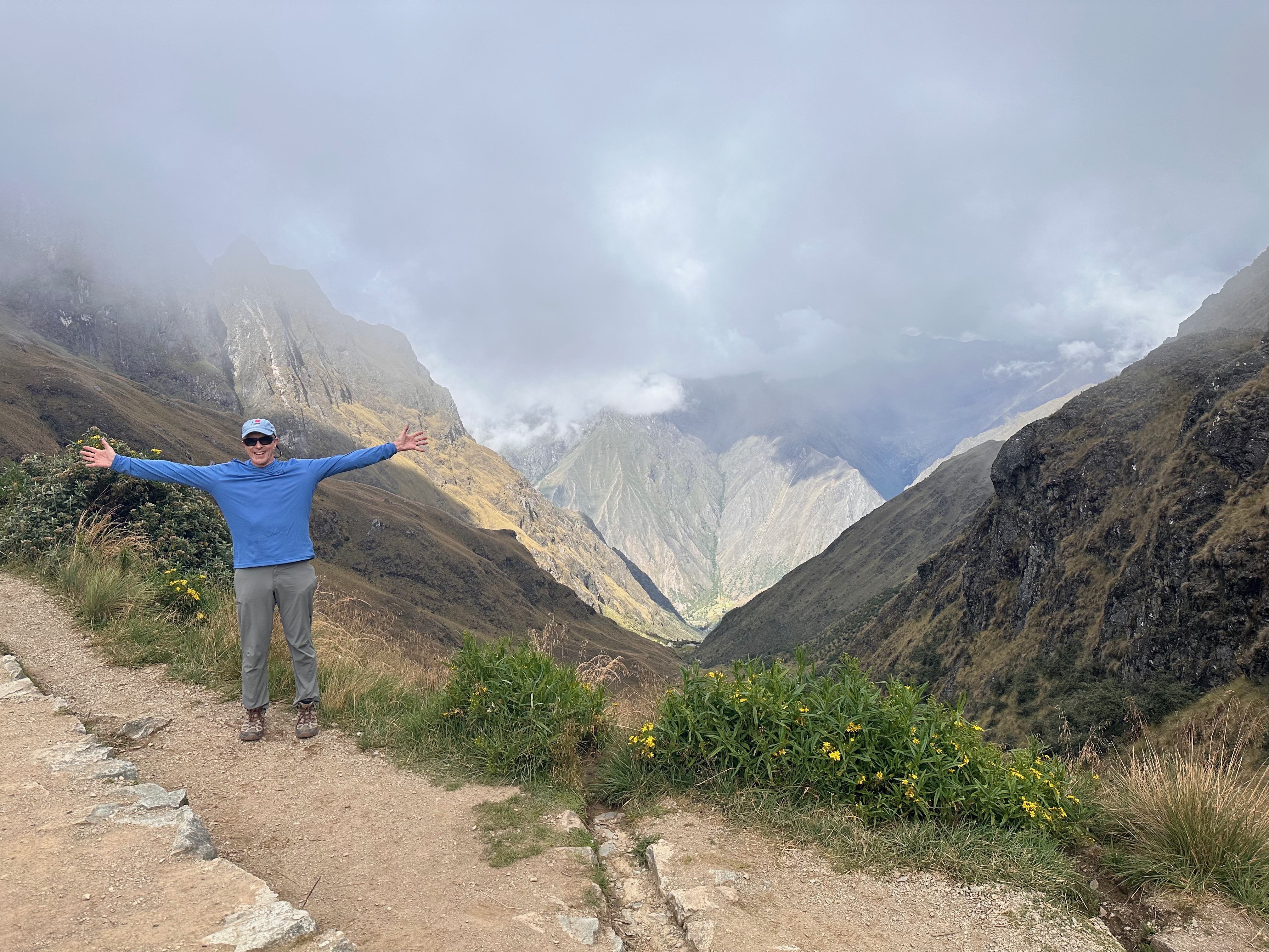
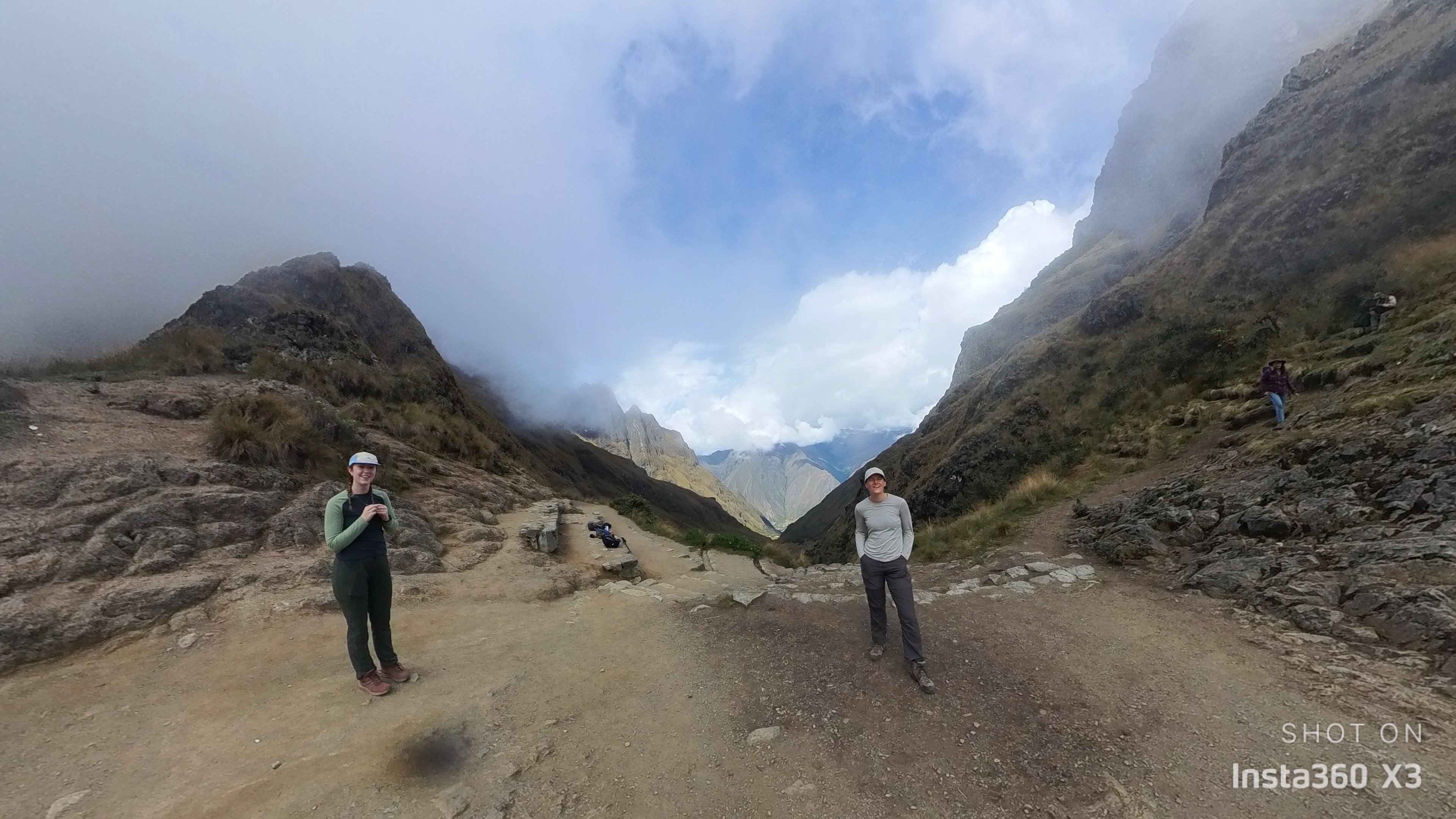
All morning the mist threatened, intermittently obscuring the pass from view, but our luck held and upon arrival the mist cleared so we could marvel at our ascent. But also look agog at the descent ahead of us to our camp below down at Phakaimayo (3596m). When the mist cleared even more we could also see the steep ascent up to Runqurakay (3970m) we were going to have to manage the next day.
Screenshot
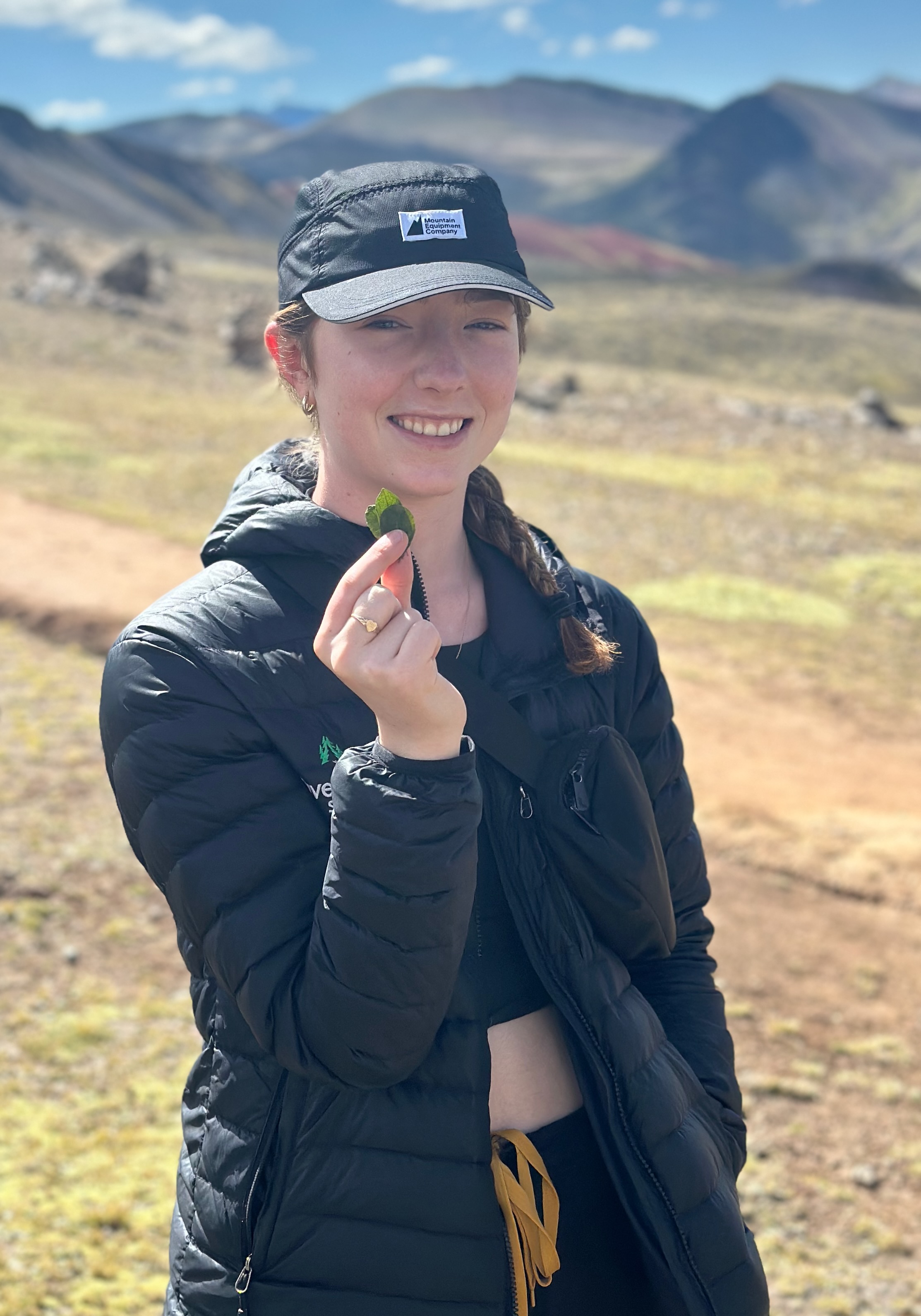
We lingered long enough to make our offering of coca leaves to the mountains. But not too long as all that exertion, fluid intake to stave off AMS (and maybe the coca leaves?) meant we were all aiming for the stop just a few hundred metres beyond the summit.
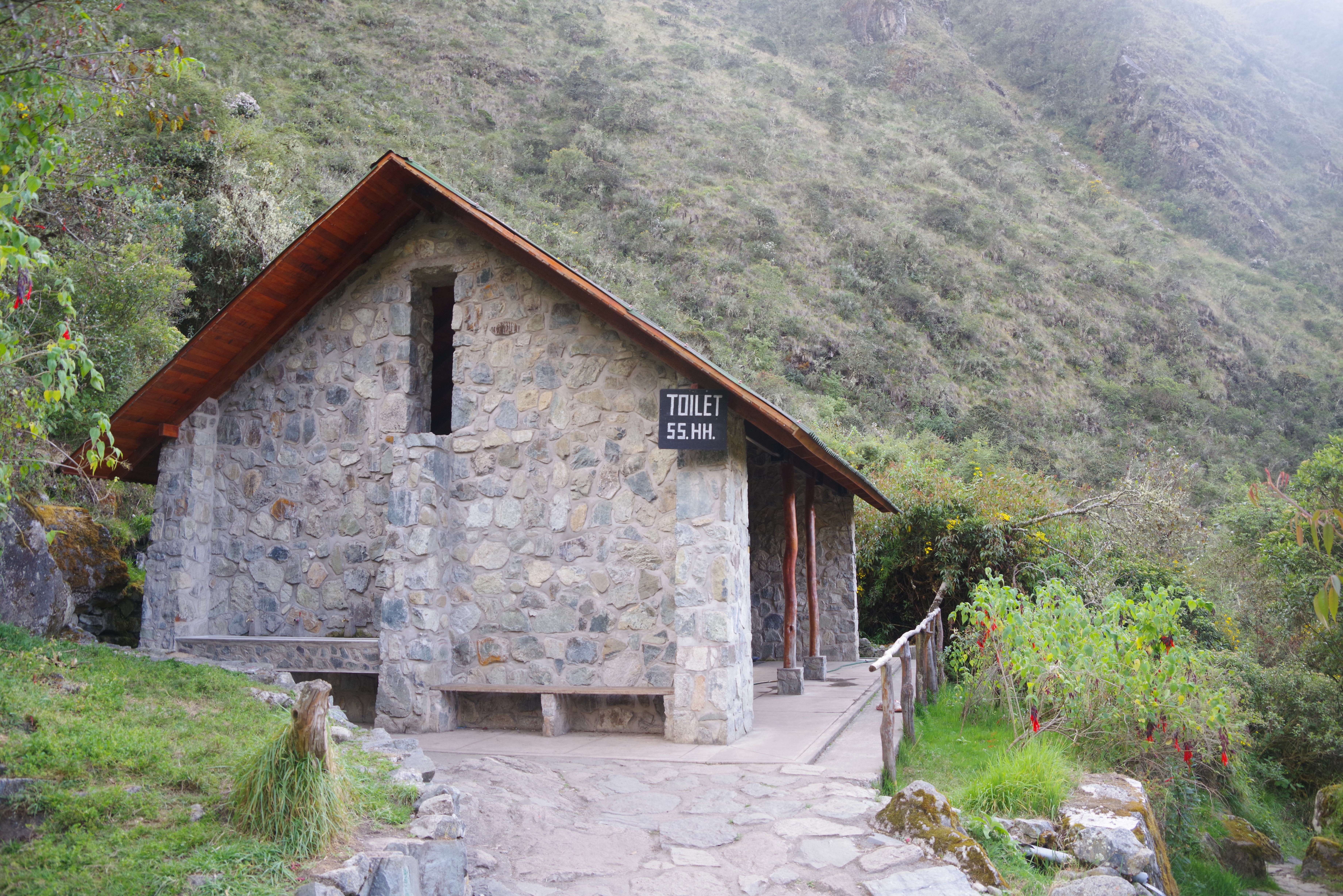
Are these possibly the highest flush toilets in the world?
The descent was also what I was a bit worried about as my tight hamstrings tend to bother me on downhills. Also the risk of slipping was higher. But all was safely negotiated.
In all 10.5km with 1577m elevation gain.
An expected bonus at camp was showers! Now before anyone gets too carried away these were water straight from the mountain river icy blast showers. So if the exhilaration of altitude, hypoxia, tachycardia and a little bit of coca wasn’t enough then this icy spray certainly made you feel alive.
Many have wondered, as had I, what the derivation of the label “Dead Woman’s Pass” was. In particular was it recognition of the fate of an unfortunate pilgrim? Apparently the Inca trail builders felt the rock configurations at the top, when viewed from certain angles, reminded them of a dead woman.
All seems a little grim. I mean one could consider she might have just been resting to recover from the arduous climb. The retired Midwife in our group and I thought the formation had a more maternal configuration. In fact you could imagine she was well into second stage given the angle of the neck and chin and the evident hormone induced organ hypertrophy.